Plizio Visual Lab
Notwane River
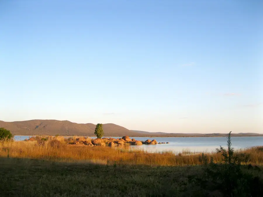
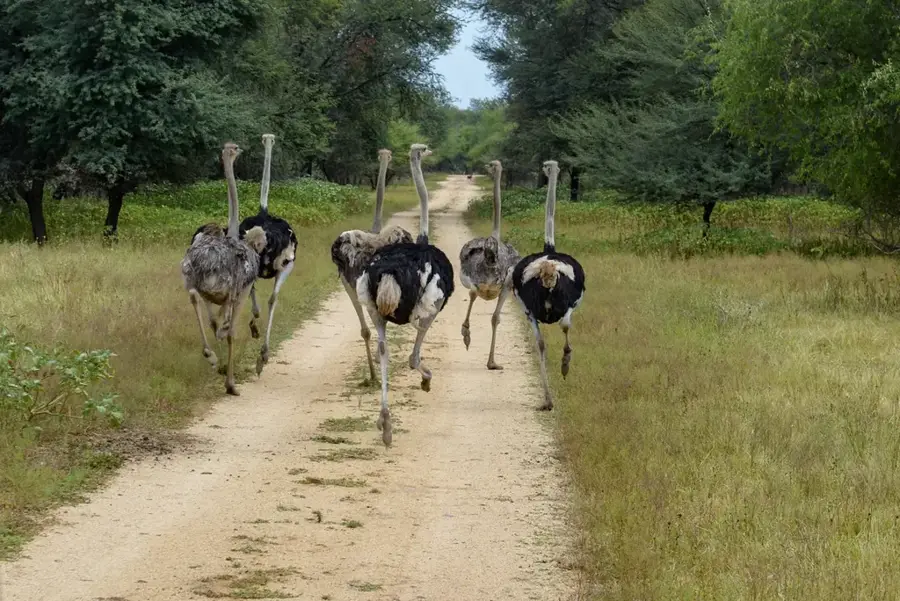
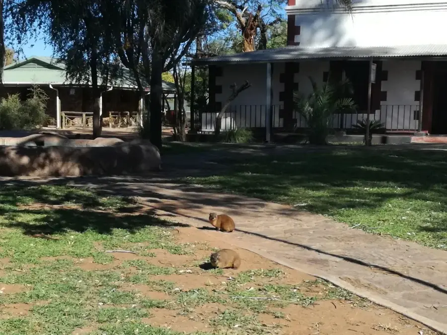
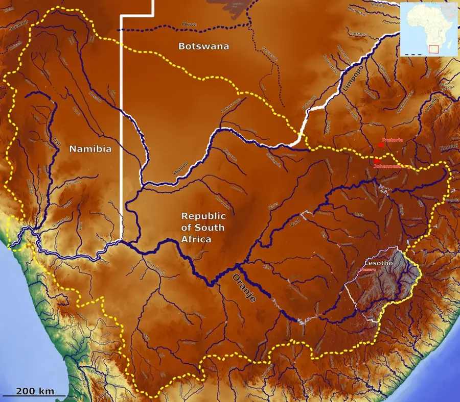
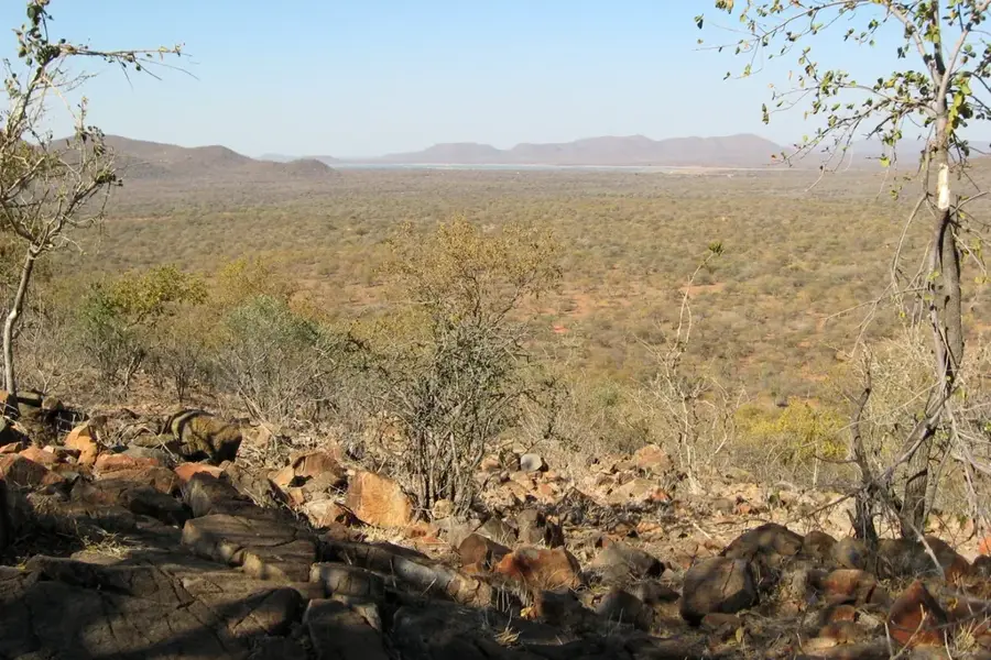
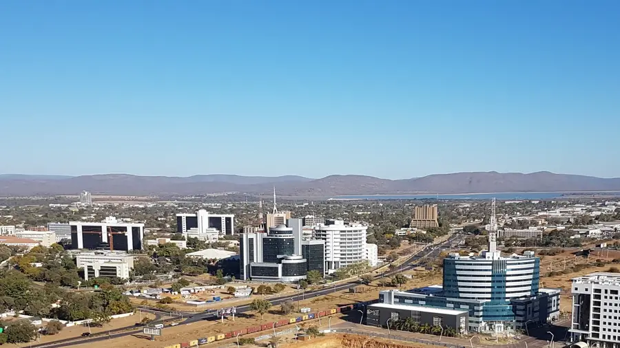
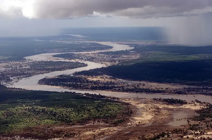
The Notwane River is a vital watercourse in southeastern Botswana, playing a pivotal role in the water supply for the capital city, Gaborone. It originates in the Sandveld area west of Ramotswa and flows in a northeasterly direction before eventually joining the Limpopo River as a left-bank tributary. The river is predominantly ephemeral, meaning that during dry periods it may consist only of a series of pools, while heavy rains can cause it to swell rapidly. In the 1960s, the Gaborone Dam was constructed on the Notwane, and it continues to be the primary drinking water reservoir for the metropolitan area. The banks of the Notwane are lined with gallery forests and dense thickets, providing essential habitat for numerous bird species and small mammals. Historically, the Notwane basin was a significant settlement area for the Batlokwa and other Tswana tribes, who utilized the fertile riparian land for agriculture. Despite increasing urbanization, the river remains a critical ecological feature, though it faces threats from environmental pollution originating in nearby industrial zones. The river's hydrological patterns are essential for maintaining the balance of the semi-arid landscape in the southeast.
- Location: Botswana
- Top sights: Dave's · Subaru Botswana
Best time to visit & climate
The most pleasant time to visit is Apr, May, Sep.
| Jan | Feb | Mar | Apr | May | Jun | Jul | Aug | Sep | Oct | Nov | Dec | |
|---|---|---|---|---|---|---|---|---|---|---|---|---|
| Avg °C | 27 | 27 | 25 | 21 | 18 | 14 | 14 | 17 | 22 | 25 | 26 | 27 |
| Rain mm | 90 | 77 | 69 | 40 | 8 | 7 | 1 | 1 | 11 | 34 | 68 | 96 |
📋 Practical info
Geography
Facts
- The Notwane River is approximately 250 kilometers in length.
- The Gaborone Dam on the Notwane was officially commissioned in 1964.
- The name 'Notwane' translates to 'river of reed mats' in the local language.
- In certain sections, the river forms the international boundary with South Africa.
- Key tributaries of the Notwane include the Taung and the Metsemotlhaba.
- The river basin is currently challenged by the spread of invasive water hyacinths.
Explore nearby
Notable places around
Route planner — Car & Motorhome
Where do you start? We build the route here, with stops and country notes along the way.
© OpenStreetMap contributors · OpenRouteService
Sights in the town Notwane River (2)
Sights nearby
Frequently asked questions
Through which city does the Notwane flow?
What is the water of the Notwane used for?
Can you fish in the river?
Does the Notwane always have water?
Are there walking trails along the river?
Notwane River: where is it located?
Notwane River: what is there to see?
Notwane River: when is the best time to visit?
Notwane River: why is it worth visiting?

History & landmarks


More places