Plizio Visual Lab
Gaborone Dam

Weather…
Water temperature…
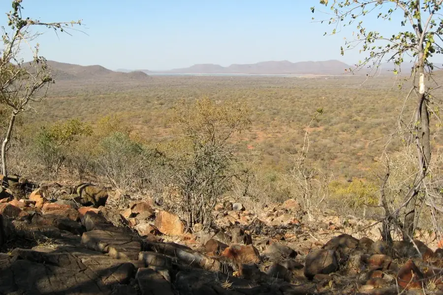
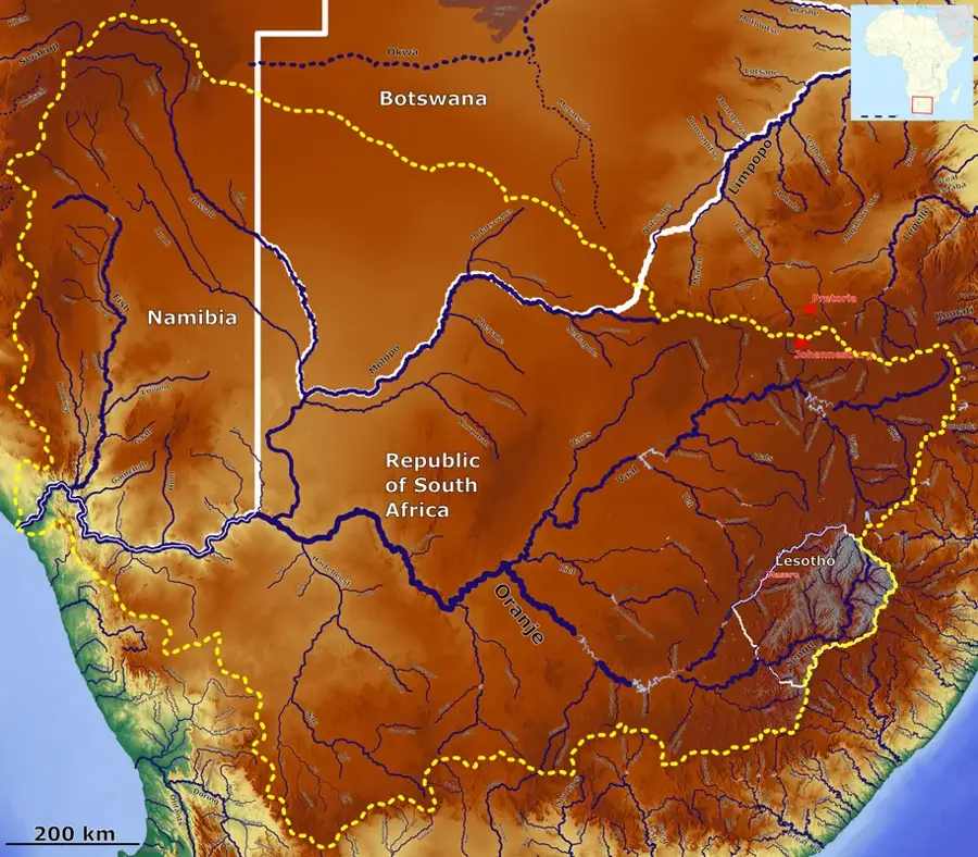
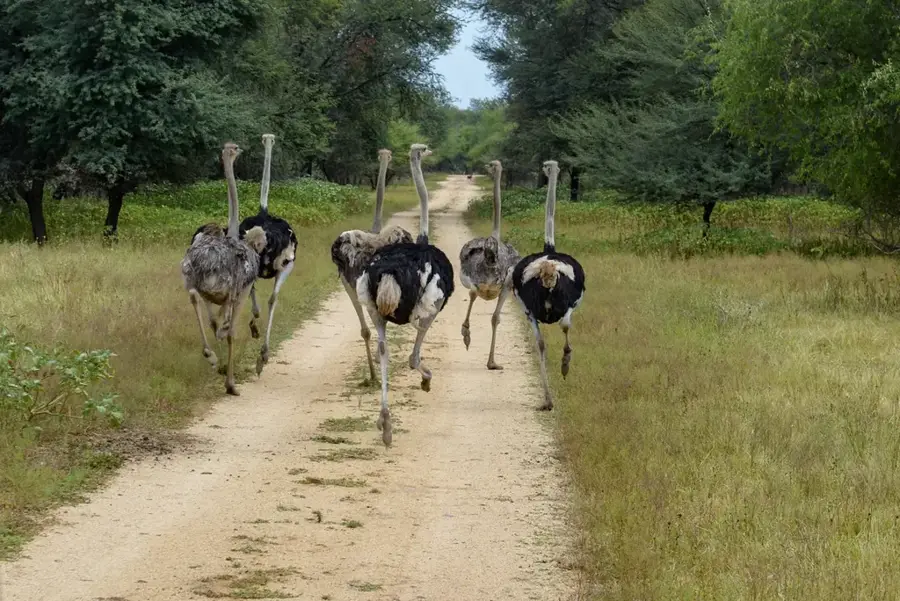
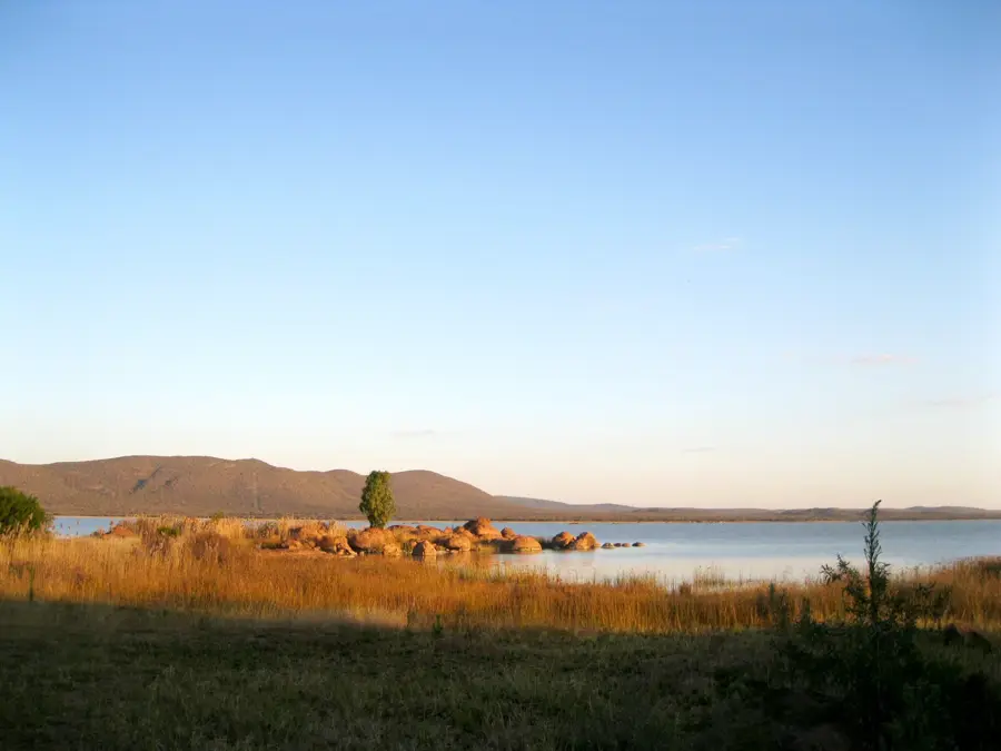
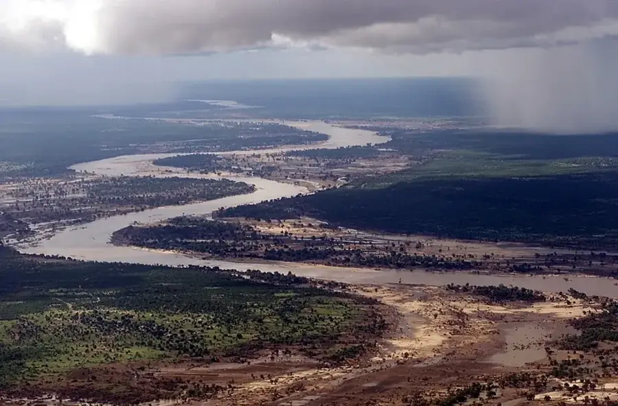
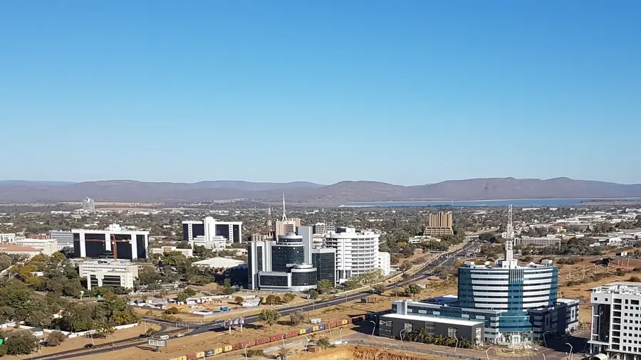
The Gaborone Dam is the primary source of water for Botswana's capital city, located directly south of the city center. It was completed in 1964, just prior to the country's independence, to facilitate the rapid expansion and development of Gaborone. The dam impounds the Notwane River and has a maximum capacity of approximately 141 million cubic meters, although water levels fluctuate dramatically due to the region's unpredictable rainfall patterns. Beyond its critical infrastructure role, the dam serves as a major recreational hub for urban residents. The surrounding landscape features hiking trails, picnic spots, and bird-watching opportunities, as the reservoir attracts a diverse array of waterfowl. Fishing and non-motorized water sports, such as sailing and canoeing, are popular leisure activities when water conditions permit. The dam stands as a symbol of the water management challenges in a semi-arid nation and is supported by modern treatment facilities to provide safe drinking water to over 230,000 residents.
Best time to visit & climate
The most pleasant time to visit is Apr, Aug, Sep.
| Jan | Feb | Mar | Apr | May | Jun | Jul | Aug | Sep | Oct | Nov | Dec | |
|---|---|---|---|---|---|---|---|---|---|---|---|---|
| Avg °C | 26 | 26 | 24 | 20 | 17 | 14 | 13 | 17 | 21 | 24 | 25 | 26 |
| Rain mm | 103 | 88 | 74 | 49 | 12 | 9 | 2 | 3 | 10 | 39 | 70 | 108 |
📋 Practical info
Geography
Facts
- Construction of the dam took approximately two years, from 1962 to 1964.
- The dam wall is 3.7 kilometers long and reaches a height of 25 meters.
- At full capacity, the reservoir covers an area of about 19 square kilometers.
- The Gaborone Yacht Club is located on the northern shores of the dam.
- In 2015, the dam's water level dropped to a historic low of just 7%.
- The facility is managed and operated by the Water Utilities Corporation.
Explore nearby
Notable places around
Route planner — Car & Motorhome
Where do you start? We build the route here, with stops and country notes along the way.
© OpenStreetMap contributors · OpenRouteService
Sights nearby
Frequently asked questions
Is Gaborone Dam good for kids?
Are there play areas?
Can kids fish there?
Are there toilets on-site?
Is there an entrance fee for children?
Gaborone Dam: where is it located?
Gaborone Dam: when is the best time to visit?
Gaborone Dam: why is it worth visiting?

History & landmarks


More places