Plizio Visual Lab
Molopo River

Weather…
Water temperature…
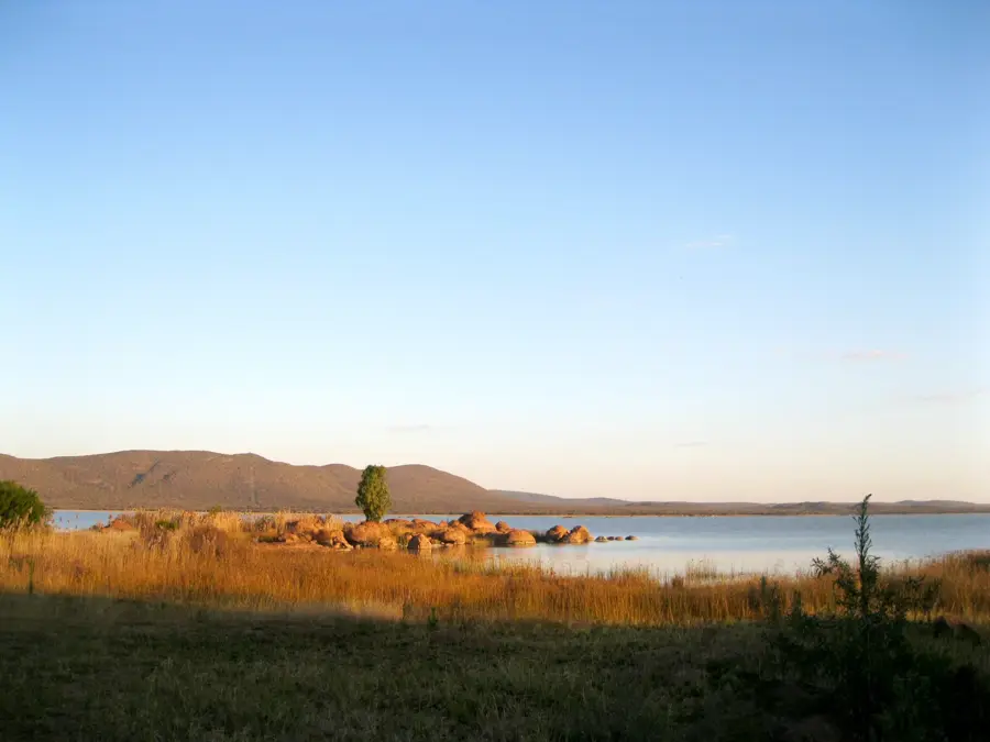
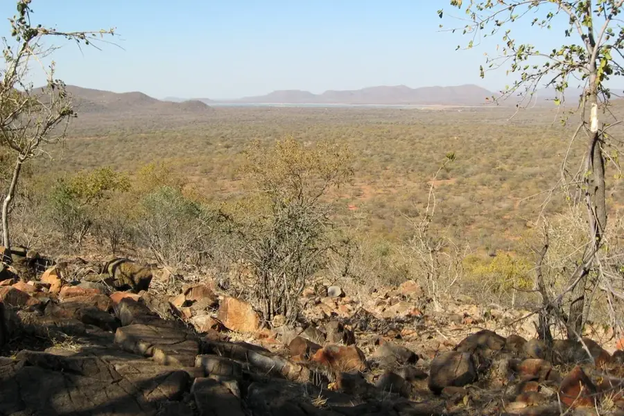
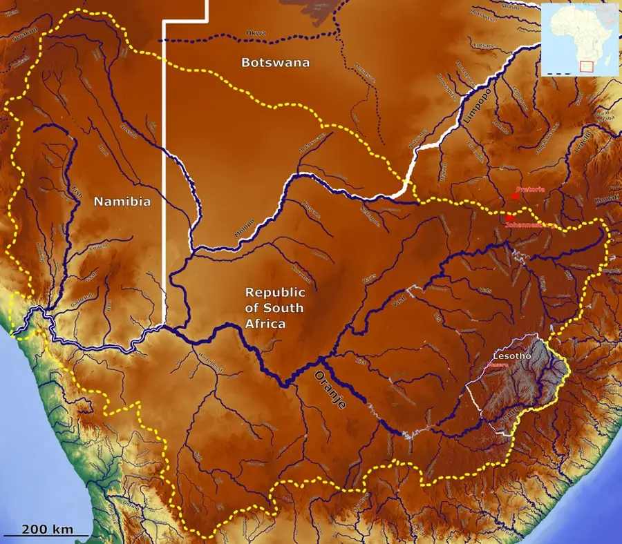
The Molopo River is a major seasonal river in southern Africa, defining a significant portion of the border between Botswana and South Africa. It originates near Mafikeng in South Africa and flows westward for over 960 kilometers before theoretically joining the Orange River. Geomorphologically, the Molopo is one of the largest ephemeral river systems in the world, though its bed has remained largely dry in recent decades due to increasing aridity and dam construction upstream. The catchment area is immense, covering approximately 367,000 square kilometers, which is nearly two-thirds the size of Botswana's total land area. Historically, the river was a vital water source for settlers and indigenous groups like the Batswana. The soils in the river valley are often more fertile than the adjacent Kalahari sands, supporting specialized agriculture and livestock farming. Ecologically, the Molopo system is a significant watershed point that fundamentally shapes the hydrology of the southern Kalahari.
Best time to visit & climate
The most pleasant time to visit is Apr, Sep, Oct.
| Jan | Feb | Mar | Apr | May | Jun | Jul | Aug | Sep | Oct | Nov | Dec | |
|---|---|---|---|---|---|---|---|---|---|---|---|---|
| Avg °C | 28 | 27 | 25 | 21 | 17 | 13 | 12 | 15 | 20 | 24 | 26 | 27 |
| Rain mm | 63 | 67 | 43 | 34 | 10 | 4 | 0 | 2 | 5 | 18 | 39 | 56 |
📋 Practical info
Geography
Facts
- The total length of the Molopo is approximately 960 km.
- The catchment area spans about 367,000 square kilometers.
- It serves as the southern boundary of Botswana with South Africa.
- The river is a theoretical tributary of the Orange River.
- Damming in South Africa has significantly reduced its flow.
- Historically, it was a crucial water resource for the Batswana people.
Route planner — Car & Motorhome
Where do you start? We build the route here, with stops and country notes along the way.
© OpenStreetMap contributors · OpenRouteService
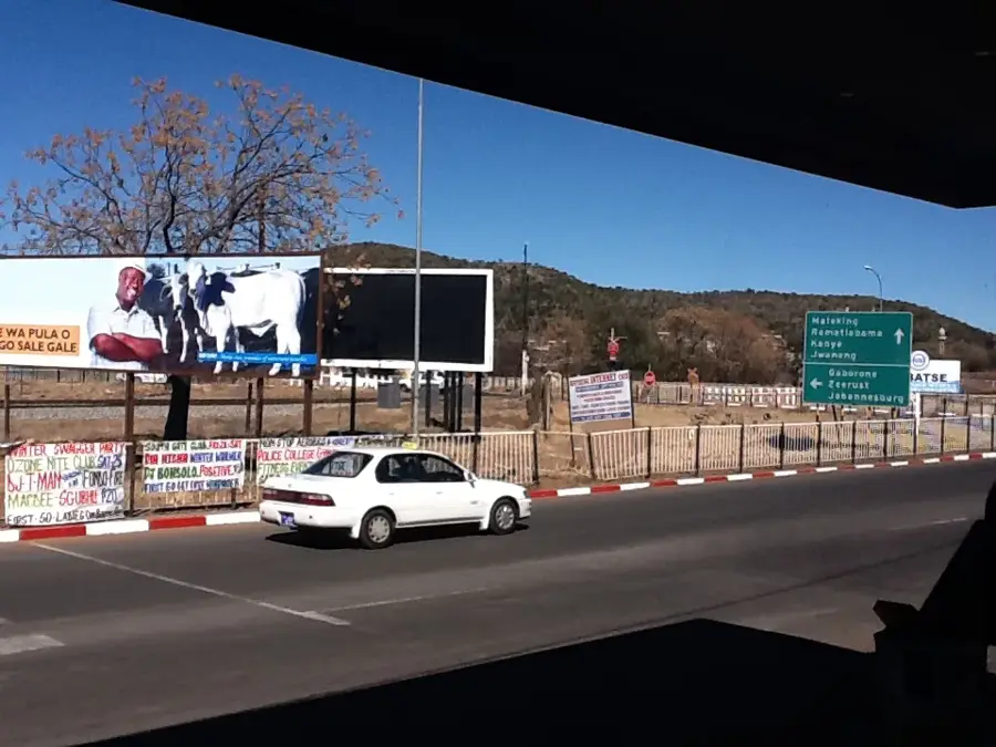
Sights in the town Molopo River (1)
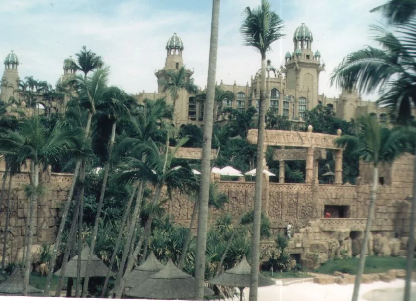
Sights nearby
Frequently asked questions
Where does the Molopo River flow?
Is the Molopo navigable?
What is the Werda border crossing on the Molopo?
What vegetation is found in the Molopo basin?
How is the area used for agriculture?
Molopo River: where is it located?
Molopo River: when is the best time to visit?
Molopo River: why is it worth visiting?

History & landmarks


More places