Plizio Visual Lab
Serranía de Santiago
Weather…
Water temperature…
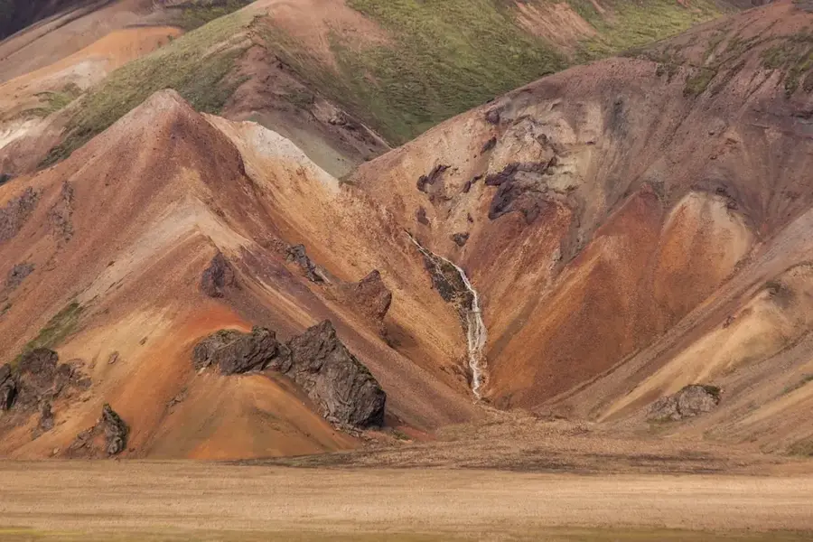
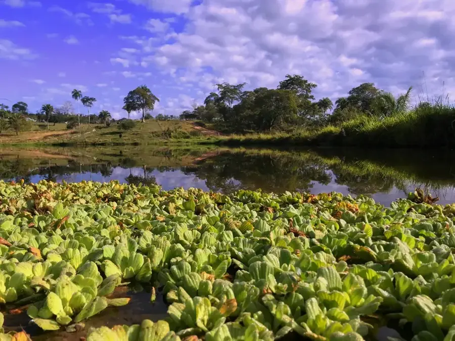
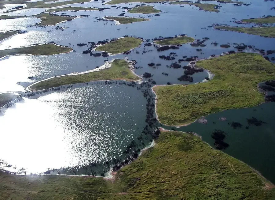
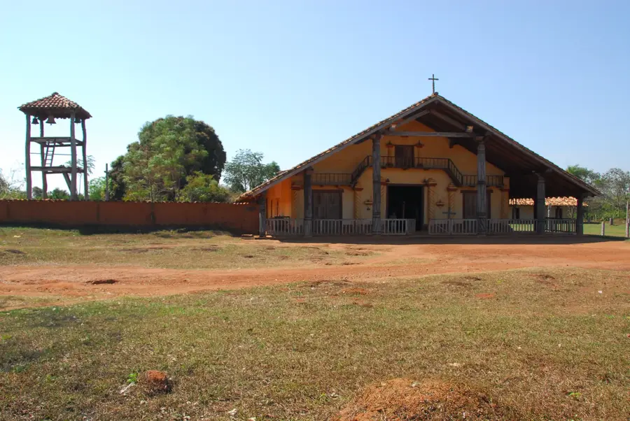
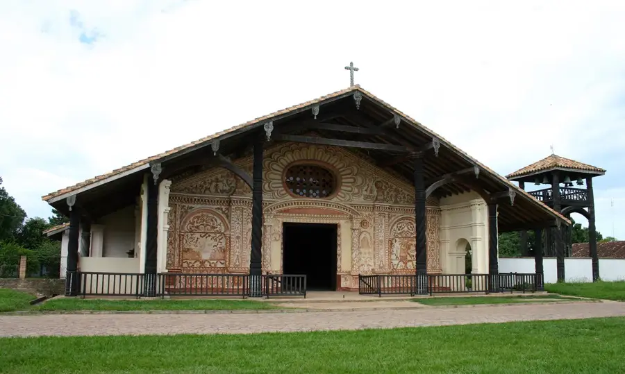
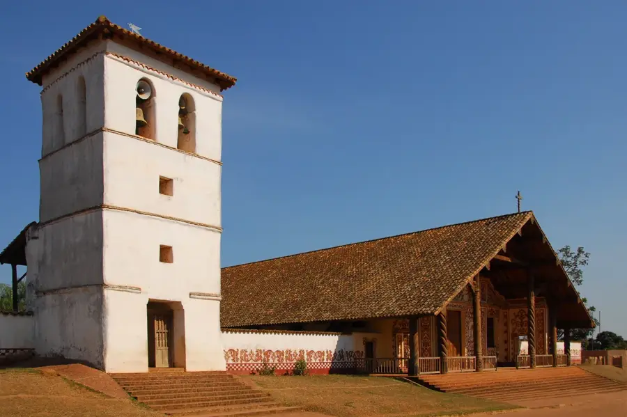
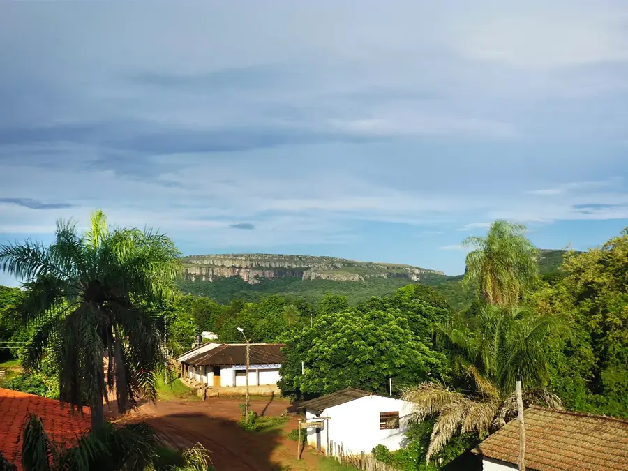
Serranía de Santiago is a striking mountain range located in eastern Bolivia, specifically within the Chiquitanía region of the Santa Cruz Department. Composed primarily of ancient sandstone, the range is famous for its unique rock formations, deep gorges, and the surrounding Chiquitano dry forest, one of the best-preserved of its kind. This area is of significant ecological importance as it serves as a critical transition zone between the humid Amazon rainforest and the semi-arid Gran Chaco plains. The mountains are also a site of great archaeological interest, containing numerous prehistoric rock paintings that provide a window into the spiritual lives of ancient indigenous inhabitants. Located near the town of Roboré, the range features natural thermal springs and dramatic waterfalls like the Chorretón. The biodiversity of the Serranía is vast, hosting many endemic plant species and providing a habitat for elusive predators like the jaguar and a variety of colorful macaws. Today, Serranía de Santiago is increasingly recognized as a prime destination for ecotourism and conservation efforts aimed at preserving its unique natural and cultural heritage.
- Location: Bolivia
- Top sights: Segundo mirador · Cuarto mirador y formaciones de piedra · La punta
Best time to visit & climate
The most pleasant time to visit is Jun–Aug.
| Jan | Feb | Mar | Apr | May | Jun | Jul | Aug | Sep | Oct | Nov | Dec | |
|---|---|---|---|---|---|---|---|---|---|---|---|---|
| Avg °C | 28 | 28 | 28 | 26 | 23 | 23 | 23 | 25 | 28 | 30 | 29 | 29 |
| Rain mm | 142 | 127 | 114 | 89 | 78 | 27 | 21 | 18 | 38 | 83 | 112 | 143 |
📋 Practical info
Geography
Facts
- The range is located in the Santa Cruz Department of eastern Bolivia.
- It serves as a transition zone between the Amazon and Gran Chaco.
- The mountains are primarily composed of sandstone rock formations.
- The area contains significant prehistoric rock art and paintings.
- The town of Roboré is the primary access point for the region.
- It protects the unique and endangered Chiquitano dry forest ecosystem.
Explore nearby
Notable places around
Route planner — Car & Motorhome
Where do you start? We build the route here, with stops and country notes along the way.
© OpenStreetMap contributors · OpenRouteService
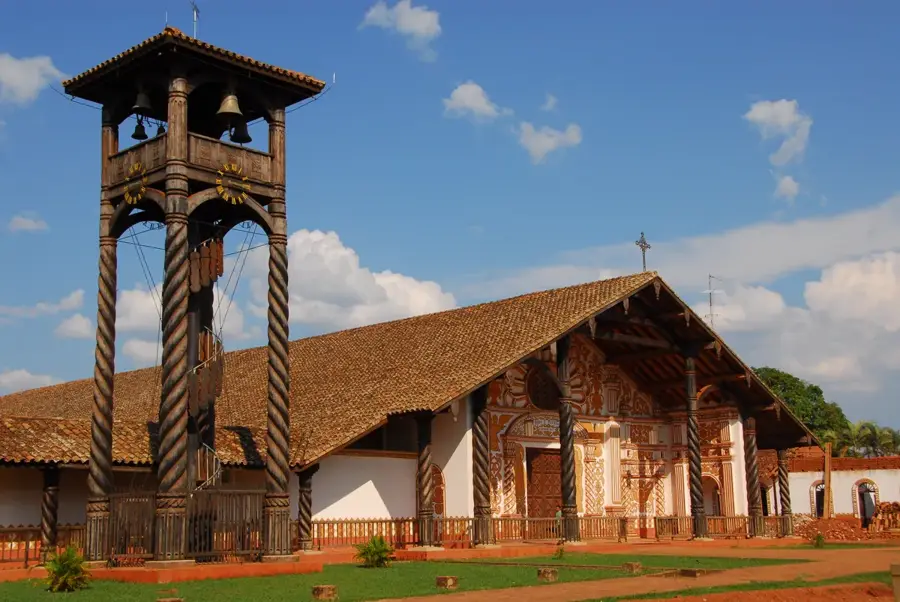
Sights in the town Serranía de Santiago (7)
Sights nearby
Frequently asked questions
What is special about this Serranía?
Are the hiking trails tiring?
Are there water sources for hikers?
How is the access?
When is the best time to travel?
Serranía de Santiago: where is it located?
Serranía de Santiago: what is there to see?
Serranía de Santiago: when is the best time to visit?
Serranía de Santiago: why is it worth visiting?

History & landmarks
Nature
More places