Plizio Visual Lab
Estaimpuis Hill
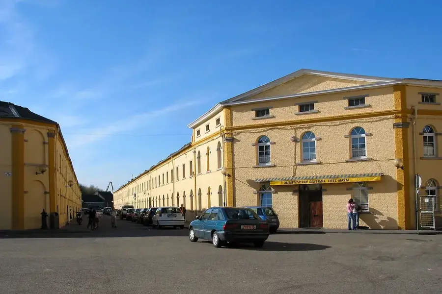
The Estaimpuis Hill is located in western Wallonia, within the province of Hainaut, very close to the French border. Geographically, this gentle elevation is part of the Scheldt basin and serves as a transition zone between the Flemish plain and the rolling hills of Tournaisis. The terrain is characterized by fertile loamy soils that have supported intensive agricultural activities for centuries, particularly cereal farming and livestock breeding. Historically, the hill's strategic position was important for monitoring the border between the former Counties of Flanders and Hainaut. The surrounding area contains remains of ancient defensive structures and manorial estates that testify to the medieval settlement history. The Estaimpuis region is also known for the Spiere Canal, which played a crucial role in the industrial development of the area during the 19th century. Today, the hill primarily functions as a local recreation spot, offering views over the cross-border landscape between the cities of Lille and Tournai.
- Location: Belgium
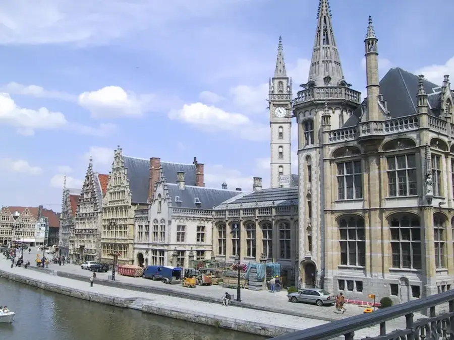
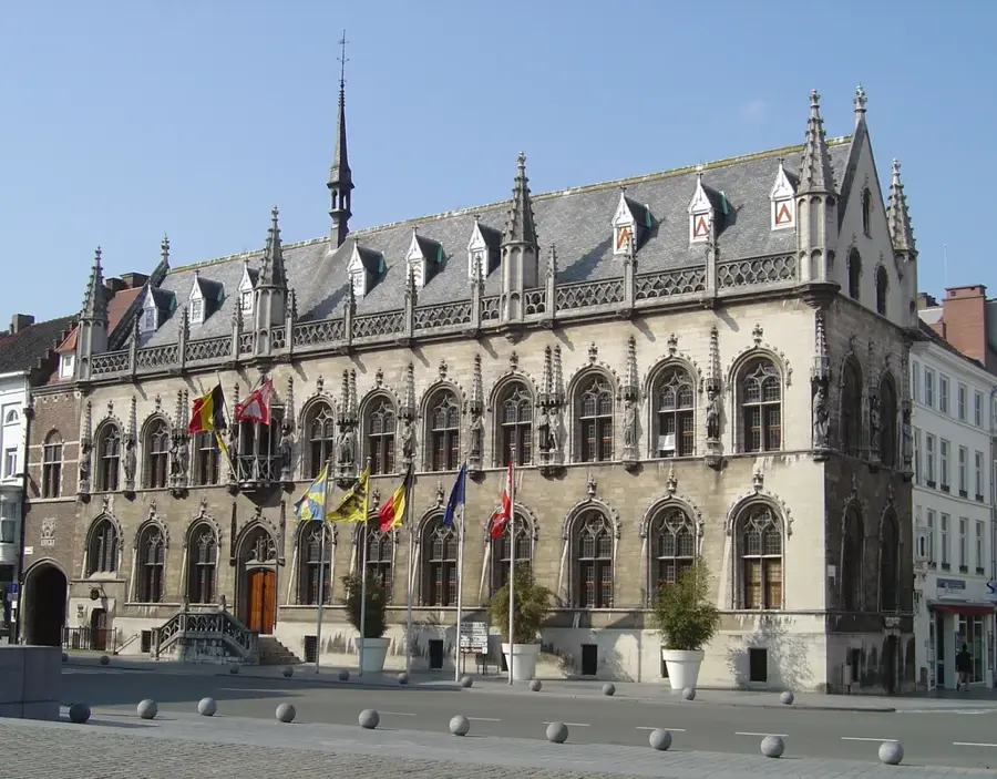
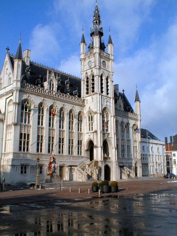
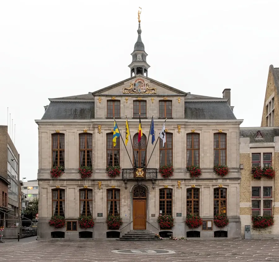
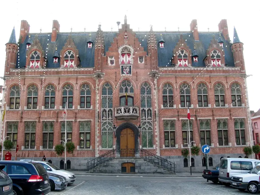
- Top sights: Château du Biez · Château Poullet · Château de Bourgogne
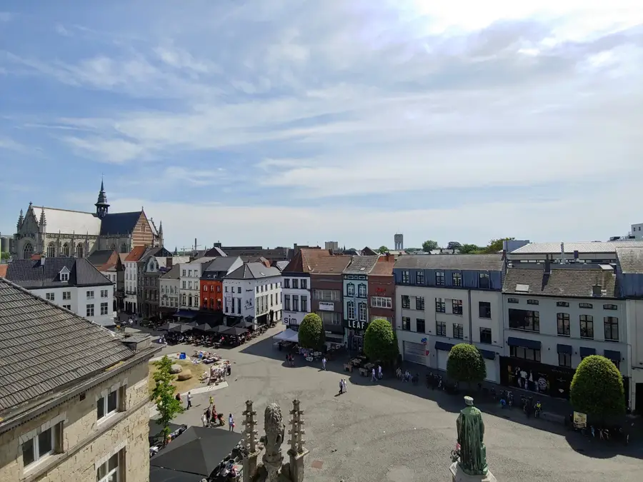
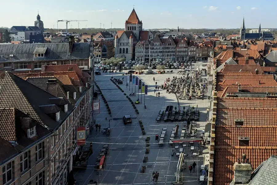
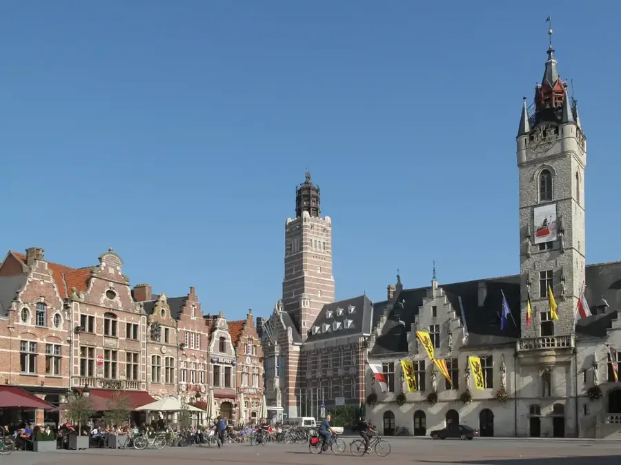
- Nearby: Mouscron (9 km)
Best time to visit & climate
The most pleasant time to visit is Jun–Aug.
| Jan | Feb | Mar | Apr | May | Jun | Jul | Aug | Sep | Oct | Nov | Dec | |
|---|---|---|---|---|---|---|---|---|---|---|---|---|
| Avg °C | 3 | 3 | 6 | 10 | 13 | 16 | 18 | 18 | 15 | 11 | 7 | 3 |
| Rain mm | 66 | 59 | 56 | 41 | 59 | 63 | 70 | 76 | 53 | 63 | 70 | 76 |
📋 Practical info
Geography
Facts
- The municipality of Estaimpuis consists of seven villages over 31.75 km².
- The hill is located directly on the border between Belgium and France.
- The Spiere Canal was constructed between 1839 and 1843.
- The region is part of the 'Plaines de l'Escaut' Natural Park.
- The average elevation of the surrounding area is between 25 and 40 meters.
- Nearby are the ruins of the 13th-century Warcoing Castle.
Explore nearby
Notable places around
Route planner — Car & Motorhome
Where do you start? We build the route here, with stops and country notes along the way.
© OpenStreetMap contributors · OpenRouteService
Sights in the town Estaimpuis Hill (3)
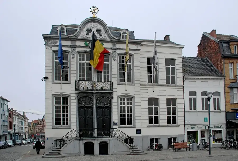
Château de Bourgogne🏰 castle
18th-century manor house in Estaimpuis, surrounded by a garden.
Sights nearby
Frequently asked questions
Where is the Estaimpuis hill located?
What is special about the landscape?
Are there parks nearby?
Is the area good for cyclists?
What is a typical activity there?
Estaimpuis Hill: where is it located?
Estaimpuis Hill: what is there to see?
Estaimpuis Hill: when is the best time to visit?
Estaimpuis Hill: why is it worth visiting?

Nearby cities