Plizio Visual Lab
Dijle Valley
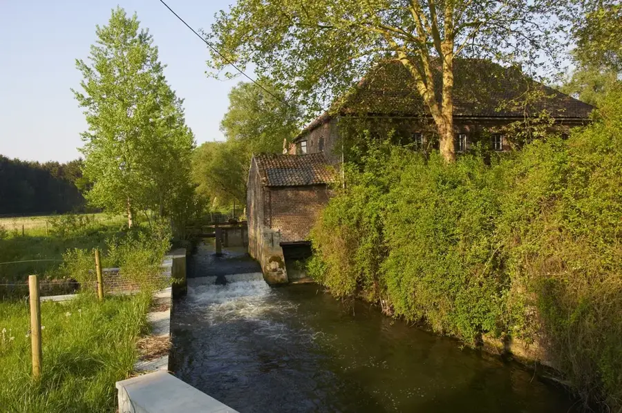
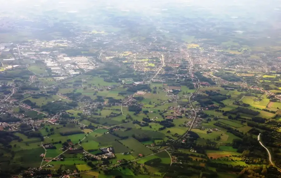
The Dijle Valley (Vallei van de Dijle) stretches as an expansive green corridor through the provinces of Flemish and Walloon Brabant, just south of the historic university city of Leuven. Here, the Dijle river meanders through an intact, highly varied landscape recognized as one of the most important wetland areas in Flanders. Particularly noteworthy is the 'Doode Bemde' (Dead Meadows) nature reserve, a wild marsh and floodplain forest where the river's course is deliberately left unregulated, allowing it to flood naturally during heavy rains. This dynamic ecosystem has facilitated the successful return of the beaver, whose impressive dams can be increasingly spotted here. In addition to a rich diversity of birdlife, the valley serves as a sanctuary for kingfishers and rare frog species. Numerous pretty hiking trails, some of which feature wooden boardwalks traversing wet reed beds, make the Dijle Valley a first-rate natural escape right on the city's doorstep.
- Location: Belgium
- Top sights: Grootbroek · Hertebron · Château de Nethen
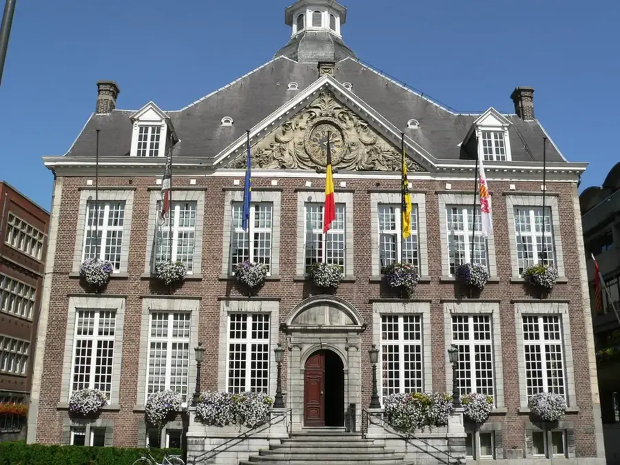
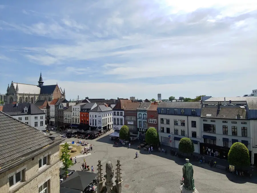
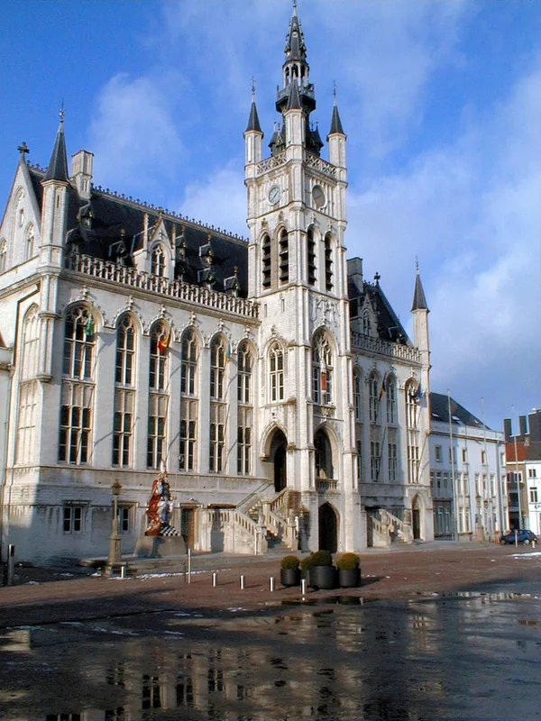
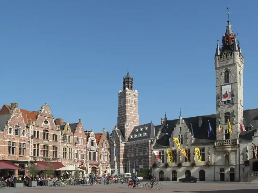
- Nearby: Wavre (8 km)
Best time to visit & climate
The most pleasant time to visit is Jun–Aug.
| Jan | Feb | Mar | Apr | May | Jun | Jul | Aug | Sep | Oct | Nov | Dec | |
|---|---|---|---|---|---|---|---|---|---|---|---|---|
| Avg °C | 3 | 3 | 6 | 10 | 13 | 17 | 19 | 18 | 15 | 11 | 7 | 3 |
| Rain mm | 69 | 61 | 55 | 38 | 59 | 63 | 75 | 79 | 55 | 63 | 69 | 78 |
📋 Practical info
Geography
Explore nearby
Notable places around
Route planner — Car & Motorhome
Where do you start? We build the route here, with stops and country notes along the way.
© OpenStreetMap contributors · OpenRouteService
Sights in the town Dijle Valley (10)
Motte médiévale de Nethen
The Motte médiévale de Nethen is a medieval castle mound near Nethen.
Sint-Agathakerk
Sint-Agathakerk is a church in the Flemish municipality of Huldenberg.
Église Saint-Antoine
Église Saint-Antoine is a church in the Walloon municipality of Grez-Doiceau.
Touwenparcours
Touwenparcours is a rope course and climbing park in the Dijle valley.
Château de Savenel🏰 castle
Château de Savenel is a castle in the Walloon municipality of Grez-Doiceau.
Chapelle Robert
Chapelle Robert is a wayside shrine in the Walloon municipality of Grez-Doiceau.
Sights nearby
Frequently asked questions
Can you go canoeing in the Dijle valley?
What is the 'Doode Bemde' nature reserve?
Which major cities does the Dijle flow through?
Are there good hiking trails?
Can you see beavers in the Dijle valley?
Dijle Valley: where is it located?
Dijle Valley: what is there to see?
Dijle Valley: when is the best time to visit?
Dijle Valley: why is it worth visiting?

Nearby cities