Plizio Visual Lab
Ras al-Jazayir

Weather…
Water temperature…
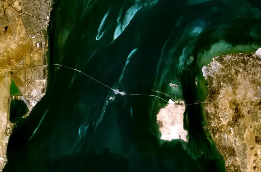
Ras al-Jazayir is a cape on the northeastern coast of Bahrain, extending into the Persian Gulf. It marks the southeastern limit of the Gulf of Bahrain and is known for its shallow waters and sandbanks. The area is a traditional fishing ground, with catches including grouper and snapper. The cape's low-lying terrain is composed of limestone and sandstone, eroded by wind and tide. A small lighthouse, built in 1957, guides vessels through the nearby shipping lanes. The cape is uninhabited but accessible via a dirt road from the mainland. Its name translates to 'Cape of the Islands', referencing the cluster of small islands offshore. The site is of interest to geologists studying coastal sedimentation.
- Location: Bahrain
- Nearby: Zallaq (6 km)
Best time to visit & climate
The most pleasant time to visit is Feb, Mar, Dec.
| Jan | Feb | Mar | Apr | May | Jun | Jul | Aug | Sep | Oct | Nov | Dec | |
|---|---|---|---|---|---|---|---|---|---|---|---|---|
| Avg °C | 18 | 18 | 21 | 25 | 30 | 33 | 35 | 35 | 34 | 30 | 25 | 20 |
| Rain mm | 7 | 5 | 3 | 4 | 0 | 0 | 0 | 1 | 0 | 1 | 10 | 8 |
📋 Practical info
Geography
Facts
- Coordinates: 26°20'N, 50°38'E
- Area of surrounding fishing grounds: 8 km²
- Lighthouse height: 15 m
- Lighthouse range: 27 km
- Average tidal range: 1.5 m
- Distance from Manama: approx. 15 km
Explore nearby
Notable places around
Route planner — Car & Motorhome
Where do you start? We build the route here, with stops and country notes along the way.
© OpenStreetMap contributors · OpenRouteService
Sights in the town Ras al-Jazayir (1)
Sights nearby
Frequently asked questions
What is the beach at Ras al-Jazayir called?
Is the beach family-friendly?
Are there lifeguards?
Is barbecuing allowed on the beach?
Are there parking spaces?
Ras al-Jazayir: where is it located?
Ras al-Jazayir: when is the best time to visit?
Ras al-Jazayir: why is it worth visiting?

History & landmarks

Nature


More places
