Plizio Visual Lab
Mount Aragats

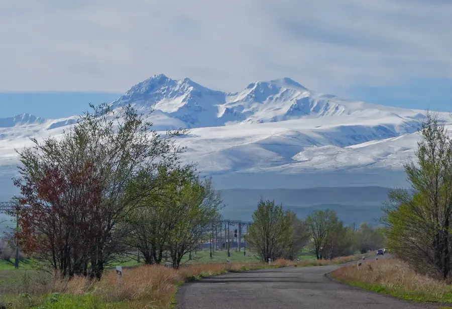
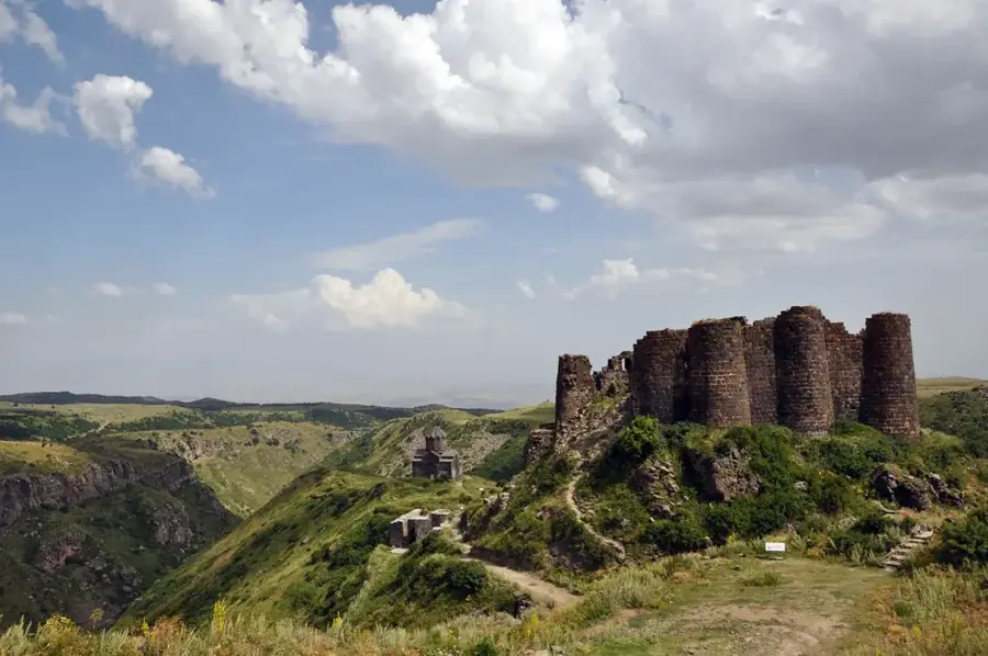
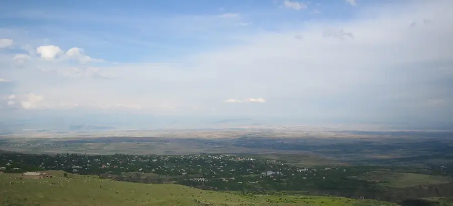
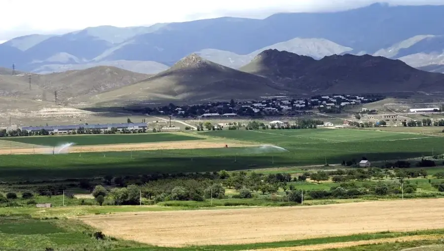
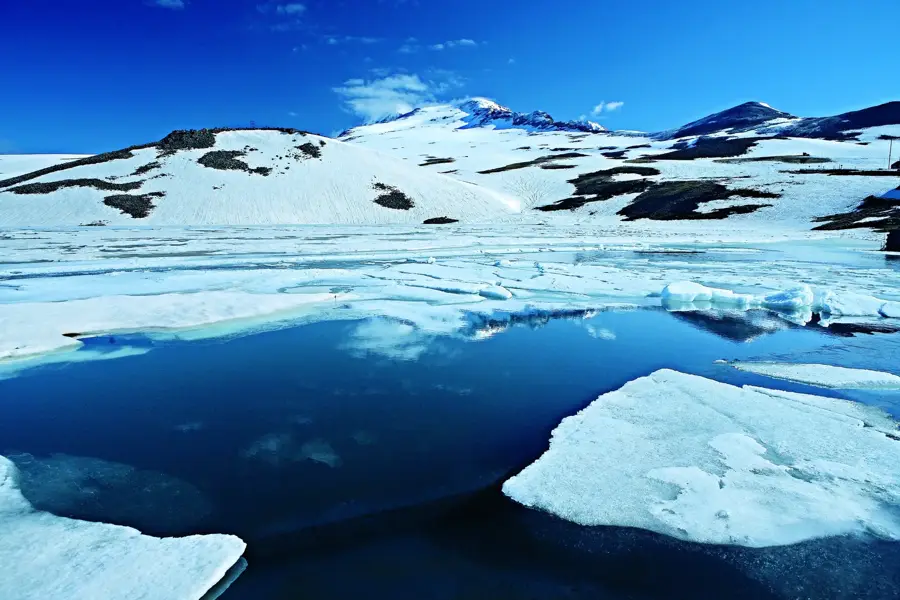
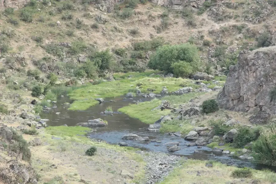
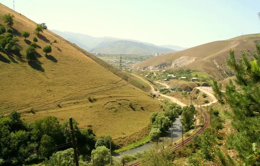
Mount Aragats is a massive, isolated volcanic massif and the highest peak in the Republic of Armenia, reaching an elevation of 4,090 meters. It was formed during the Pliocene and Pleistocene epochs through intense volcanic activity that shaped the Armenian Highlands. The massif consists of four distinct peaks surrounding a deep volcanic crater, with the Northern peak being the country's highest point. Due to its significant elevation, the mountain exhibits a vertical succession of climatic zones, ranging from semi-deserts at its base to alpine meadows and permanent snowfields near the summit. Historically and culturally significant, its slopes host structures such as the 7th-century Amberd Fortress and the renowned Byurakan Observatory. The flora of Aragats includes over 1,100 species of plants, many of which are endemic, making it a vital center of biodiversity in the Caucasus. Today, it remains a primary destination for mountaineers, scientists, and astronomers, serving as a landmark of Armenian natural heritage.
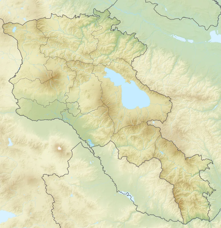
- Location: Armenia
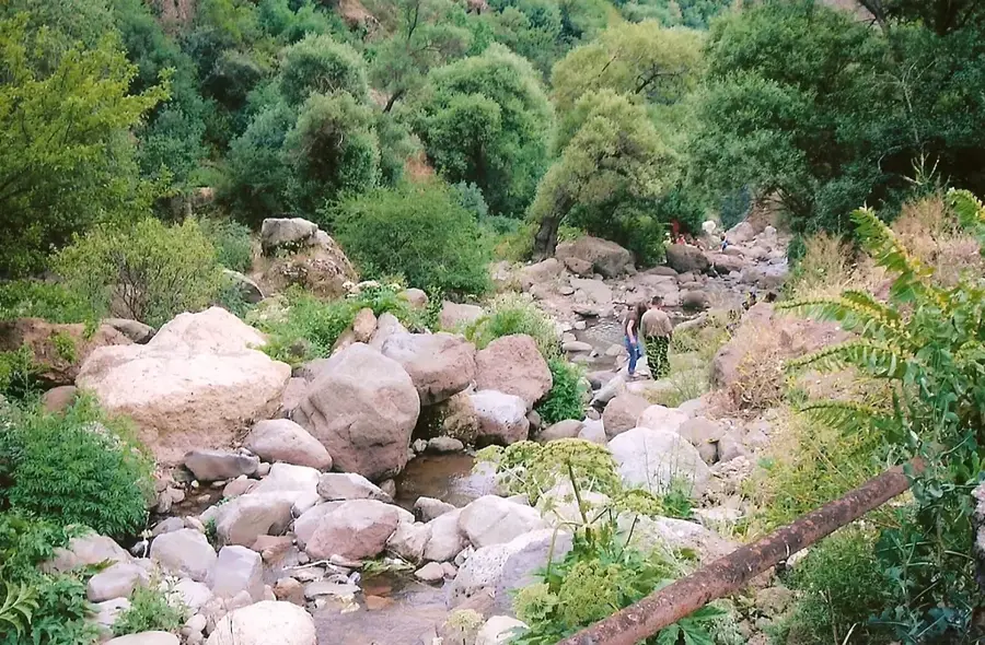
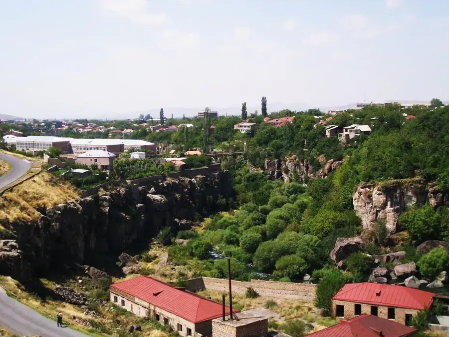
- Top sights: Vid na Malyi vodopad · Bashbriyayla
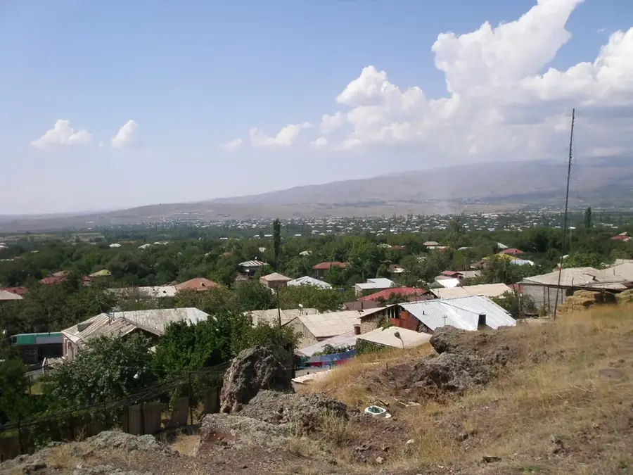
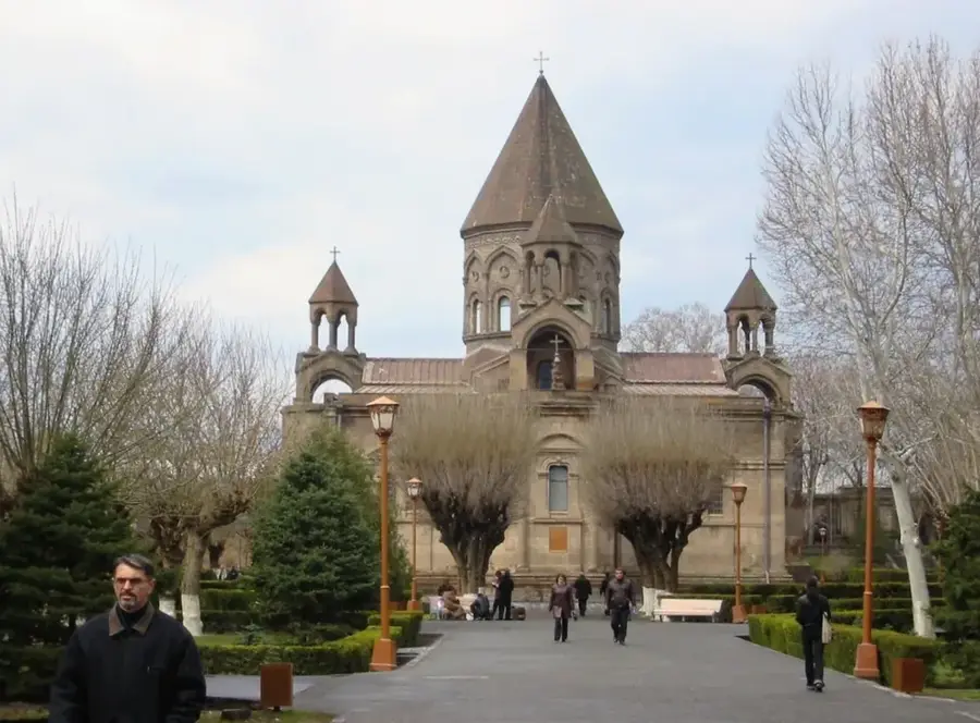
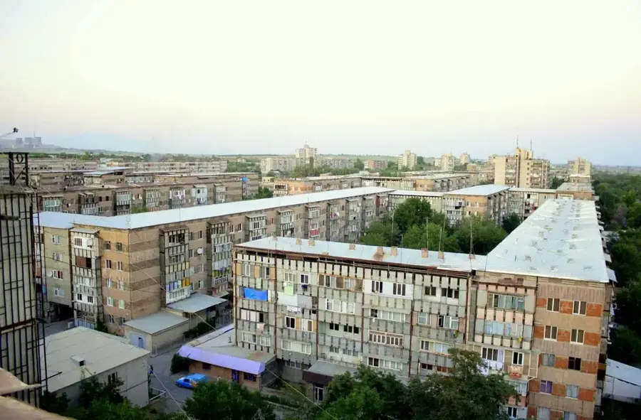
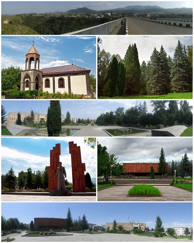
- Nearby: Byurakan (17 km)
Best time to visit & climate
The most pleasant time to visit is Jul–Sep.
| Jan | Feb | Mar | Apr | May | Jun | Jul | Aug | Sep | Oct | Nov | Dec | |
|---|---|---|---|---|---|---|---|---|---|---|---|---|
| Avg °C | -6 | -3 | 2 | 7 | 12 | 17 | 21 | 21 | 16 | 10 | 2 | -4 |
| Rain mm | 28 | 21 | 33 | 58 | 77 | 63 | 47 | 37 | 25 | 43 | 25 | 27 |
📋 Practical info
Geography
Facts
- The Northern peak stands at 4,090 meters, the highest point in Armenia.
- Kari Lake is located at an elevation of 3,207 meters on the mountain.
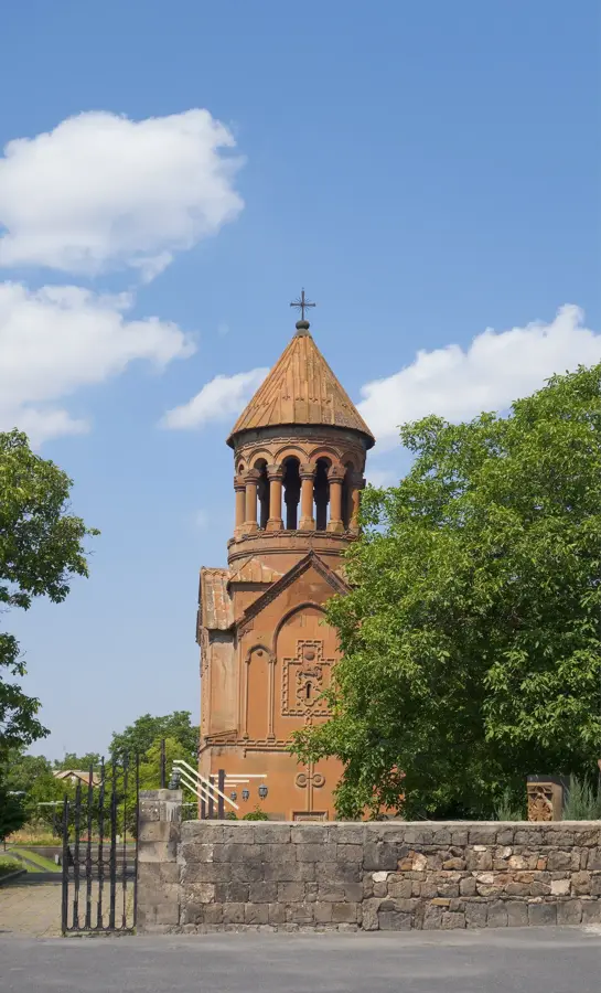
- The Byurakan Observatory on its slopes was established in 1946.
- Amberd Fortress dates back to the 7th century and sits at 2,300 meters.
- The mountain serves as the source for the Kasagh and Amberd rivers.
- The volcanic crater has a depth of approximately 400 meters from the rim.
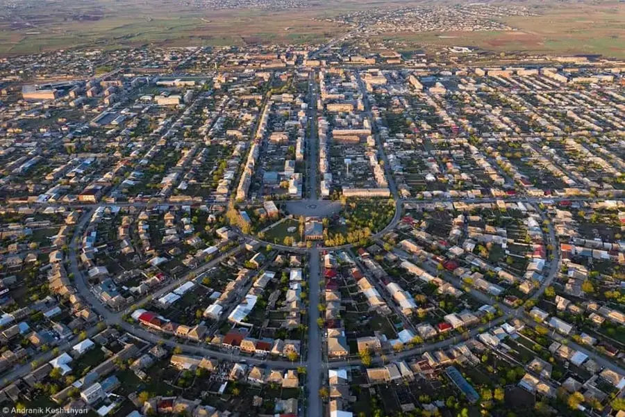
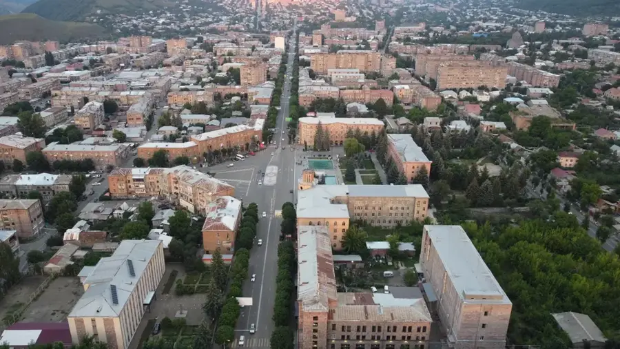
Explore nearby
Notable places around
Route planner — Car & Motorhome
Where do you start? We build the route here, with stops and country notes along the way.
© OpenStreetMap contributors · OpenRouteService
Sights in the town Mount Aragats (2)
Sights nearby
Frequently asked questions
How hard is it to climb Aragats?
What is the best season for a hike?
Do you need a guide?
Is there parking at the trailhead?
What should you watch for in the weather?
Mount Aragats: where is it located?
Mount Aragats: what is there to see?
Mount Aragats: when is the best time to visit?
Mount Aragats: why is it worth visiting?

Nearby cities

Nature
More places