Plizio Visual Lab
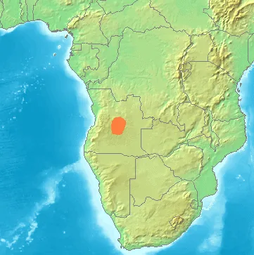
Lunda Escarpment

Weather…
Water temperature…
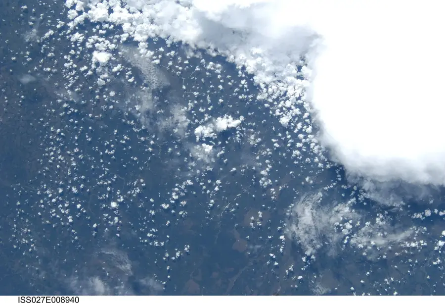
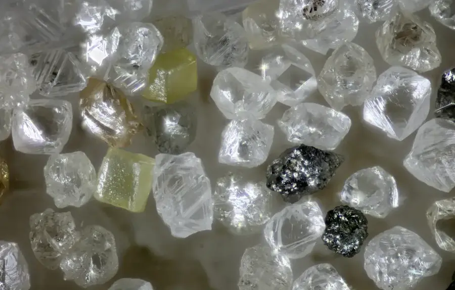
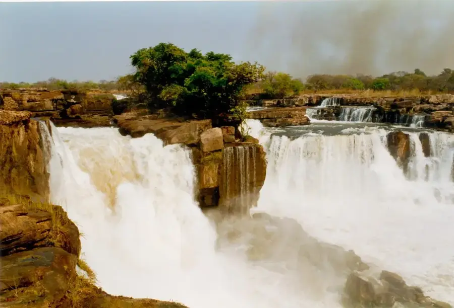
The Lunda Escarpment is a prominent geological formation in northeastern Angola, marking the transition from the central plateau to the lower-lying Congo Basin. This region is geologically characterized by Precambrian rocks and sedimentary deposits that are exceptionally rich in mineral resources. The area is particularly world-renowned for its significant diamond deposits, found within the river valleys and alluvial soils. The topography is defined by deep valleys and rolling hills, shaped by the erosion of major rivers such as the Cuango and the Chicapa. Climatically, the escarpment lies in a tropical zone with distinct wet and dry seasons, encouraging dense Miombo woodland vegetation. Historically, control over this relief was always of strategic importance for the local economy and colonial administration due to its underground wealth. Today, the Lunda Escarpment plays a central role in the Angolan mining industry and remains a critical factor for the nation's overall economic development.
Best time to visit & climate
The most pleasant time to visit is May–Jul.
| Jan | Feb | Mar | Apr | May | Jun | Jul | Aug | Sep | Oct | Nov | Dec | |
|---|---|---|---|---|---|---|---|---|---|---|---|---|
| Avg °C | 22 | 23 | 23 | 23 | 23 | 22 | 22 | 24 | 25 | 24 | 23 | 22 |
| Rain mm | 122 | 132 | 155 | 77 | 11 | 2 | 0 | 11 | 53 | 110 | 161 | 149 |
📋 Practical info
Geography
Facts
- The average altitude of the escarpment ranges between 1000 and 1200 meters above sea level.
- It serves as a major watershed between the Kasai and Zambezi river systems.
- The region hosts some of the world's richest secondary diamond deposits.
- The geological formation consists primarily of gneisses and granites from the Precambrian shield.
- The Cuango River carves deep canyons through the rock in this area.
- Annual rainfall in the region often exceeds 1400 millimeters.
Explore nearby
Notable places around
Route planner — Car & Motorhome
Where do you start? We build the route here, with stops and country notes along the way.
© OpenStreetMap contributors · OpenRouteService
Sights nearby
Frequently asked questions
What is the Lunda escarpment?
When is the best time to visit?
Is the area good for photography?
Are there viewpoints there?
Is the escarpment suitable for day trips?
Lunda Escarpment: where is it located?
Lunda Escarpment: when is the best time to visit?
Lunda Escarpment: why is it worth visiting?

Nearby cities
Nature
More places