Plizio Visual Lab
Western Escarpment
Weather…
Water temperature…
The Western Escarpment of Angola is a monumental geological feature that forms the abrupt transition from the narrow coastal lowlands to the vast central plateau. Stretching nearly the entire length of the country, this massive fault line features near-vertical cliffs and dramatic drops often exceeding 1,000 meters. The terrain is characterized by rugged canyons, sharp ridges, and numerous spectacular waterfalls created as highland rivers plunge toward the Atlantic. Ecologically, the escarpment serves as a biodiversity hotspot, housing a range of microclimates that transition from mist-shrouded montane forests at the top to dry savanna and desert scrub at the base. Historically, this natural wall posed a significant challenge to inland exploration and trade, eventually requiring sophisticated engineering for the construction of roads and the Benguela Railway. Today, the escarpment remains a site of immense natural beauty and scientific interest, with the Tundavala Gap being its most iconic landmark.
- Location: Angola
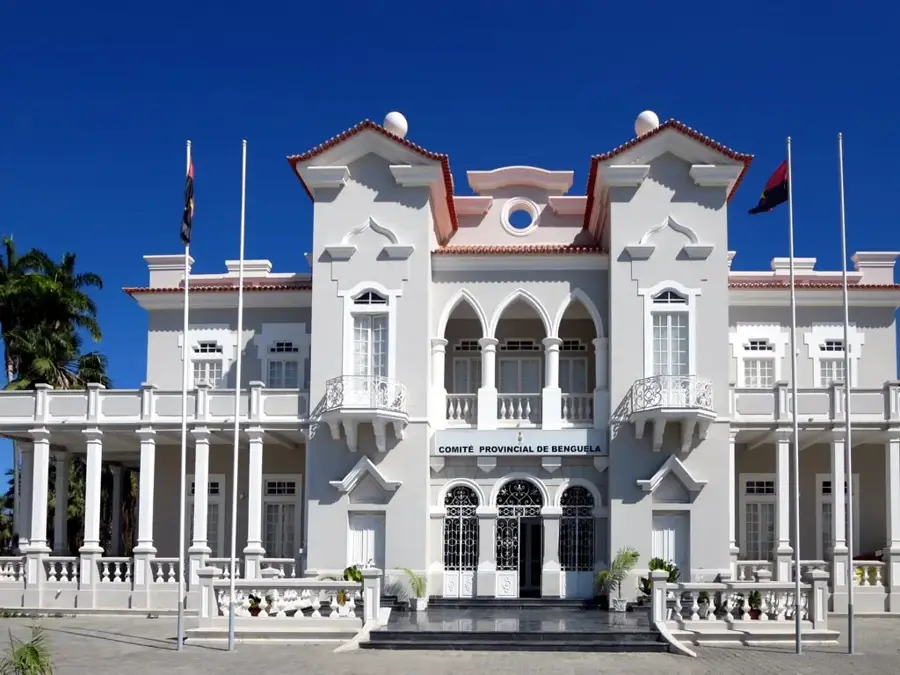
- Nearby: Baía Farta (70 km)
Best time to visit & climate
The most pleasant time to visit is Jul–Sep.
| Jan | Feb | Mar | Apr | May | Jun | Jul | Aug | Sep | Oct | Nov | Dec | |
|---|---|---|---|---|---|---|---|---|---|---|---|---|
| Avg °C | 26 | 27 | 27 | 27 | 26 | 23 | 21 | 21 | 21 | 23 | 25 | 25 |
| Rain mm | 26 | 34 | 51 | 41 | 6 | 0 | 0 | 3 | 6 | 12 | 29 | 19 |
📋 Practical info
Geography
Facts
- The escarpment extends for a total length of nearly 1,200 kilometers.
- The highest peaks along the escarpment edge exceed 2,500 meters in elevation.
- The famous Serra da Leba road climbs the escarpment with 56 tight hairpin turns.
- Geologically, the escarpment was formed during the breakup of the Gondwana supercontinent.
- The montane forests on the cliffs are home to rare endemic birds like the Angola Cave Chat.
- The Tundavala Gap observation point is situated at an elevation of roughly 2,200 meters.
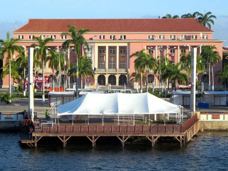
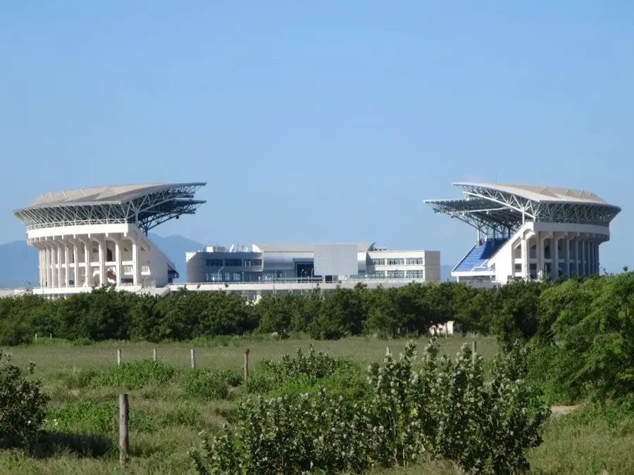
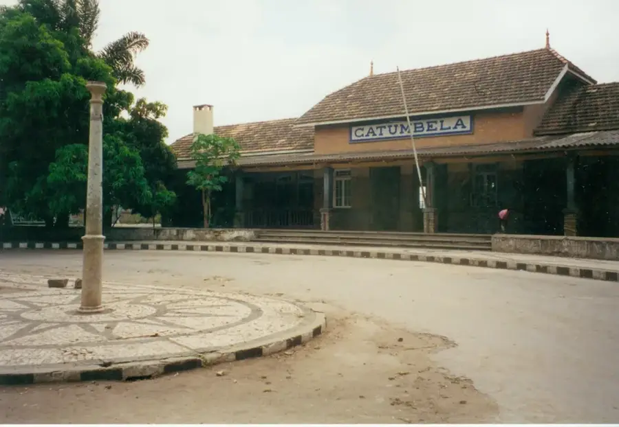
Explore nearby
Notable places around
Route planner — Car & Motorhome
Where do you start? We build the route here, with stops and country notes along the way.
© OpenStreetMap contributors · OpenRouteService
Sights nearby
Frequently asked questions
What does the western escarpment mean?
When is the best time to visit the escarpment?
Can you stop there to enjoy the view?
Is it windy there?
Is the area good for photography?
Western Escarpment: where is it located?
Western Escarpment: when is the best time to visit?
Western Escarpment: why is it worth visiting?

Nearby cities

History & landmarks

Nature
More places