Plizio Visual Lab
Benguela Highlands
Weather…
Water temperature…
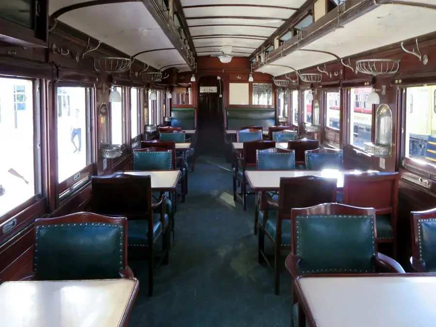
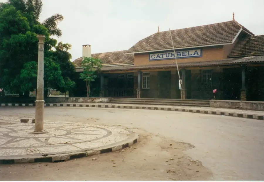
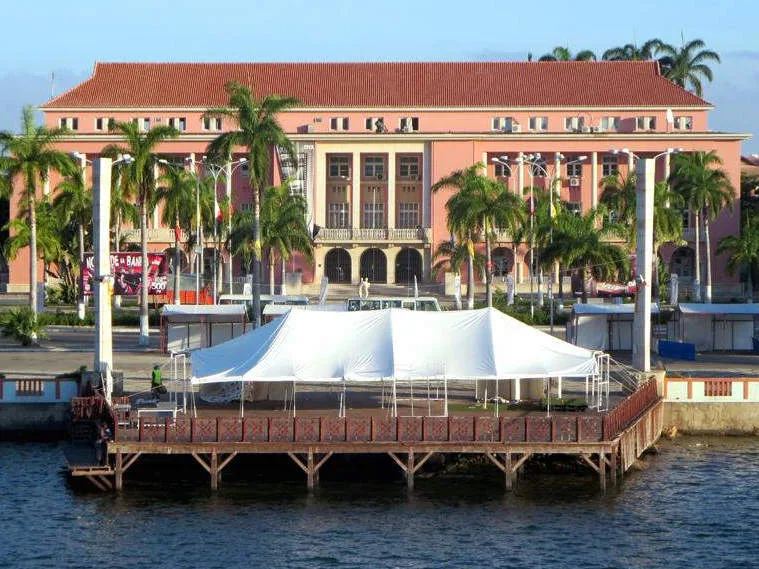
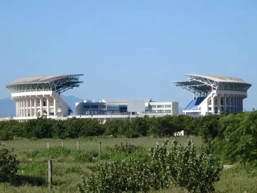
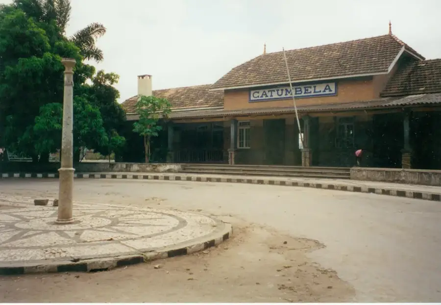
The Benguela Highlands, also known as the Bié Plateau, form the geographical backbone of Angola, covering the vast majority of the central upland area. Sitting at an average elevation of 1,500 to 1,800 meters above sea level, this massive plateau serves as the principal watershed for the nation, giving rise to major rivers such as the Kwanza, Cunene, and Okavango. Geologically, the highlands consist of an ancient crystalline shield, characterized by a rolling landscape of high plains and isolated granitic peaks. Historically, the plateau was the ancestral home of the Ovimbundu people and became the center of Angola's agricultural sector during the colonial period, famous for coffee and sisal production. Its temperate climate and abundant rainfall make it the most fertile and densely populated region in the country. Today, the Benguela Highlands remain a vital economic engine, with cities like Huambo and Kuito serving as key hubs for trade and agriculture along the historic Benguela Railway.
- Location: Angola
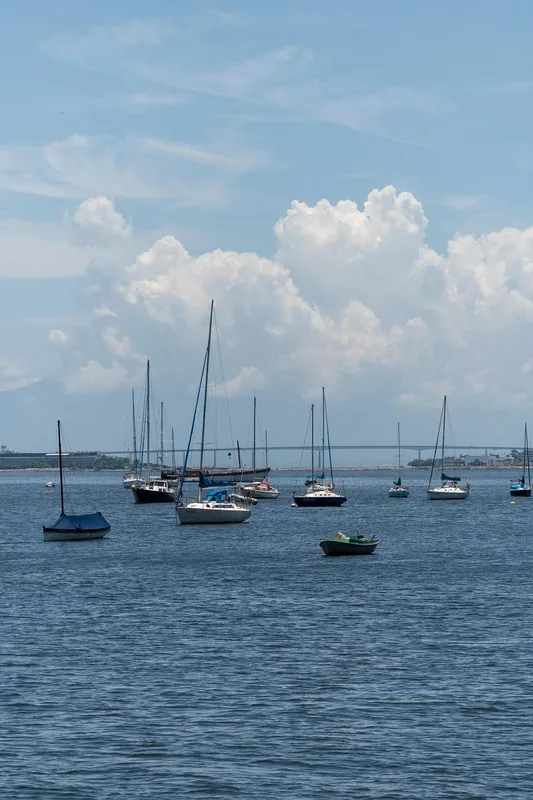
- Nearby: Praia Santo Antônio (15 km)
Best time to visit & climate
The most pleasant time to visit is Jun–Aug.
| Jan | Feb | Mar | Apr | May | Jun | Jul | Aug | Sep | Oct | Nov | Dec | |
|---|---|---|---|---|---|---|---|---|---|---|---|---|
| Avg °C | 25 | 25 | 25 | 26 | 25 | 23 | 22 | 22 | 23 | 25 | 25 | 24 |
| Rain mm | 77 | 76 | 109 | 67 | 4 | 1 | 0 | 3 | 13 | 40 | 126 | 62 |
📋 Practical info
Geography
Facts
- The highlands cover approximately one-tenth of Angola's total land area.
- The highest point on the plateau is Mount Moco, reaching 2,620 meters.
- Four major African river systems originate within this highland watershed.
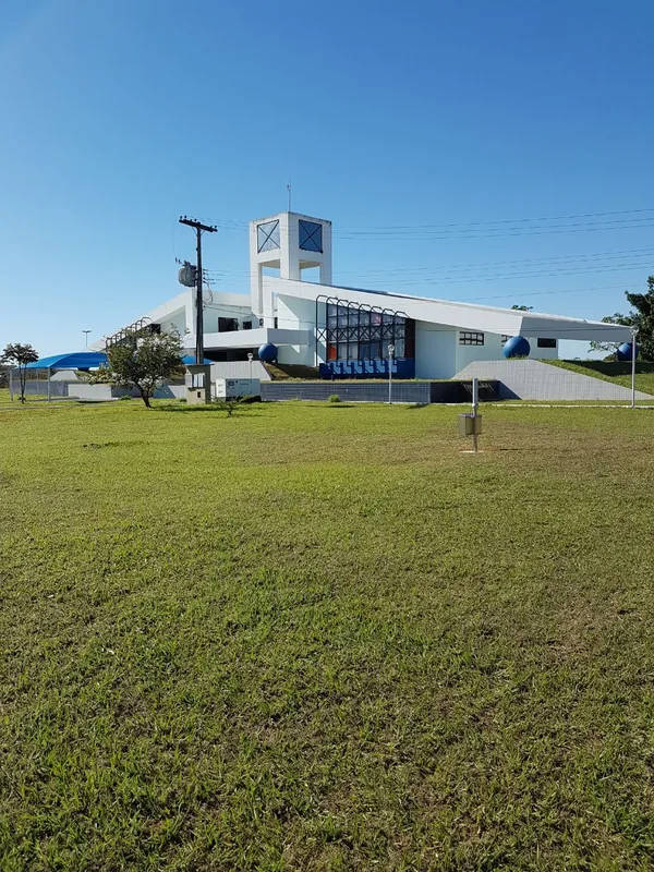
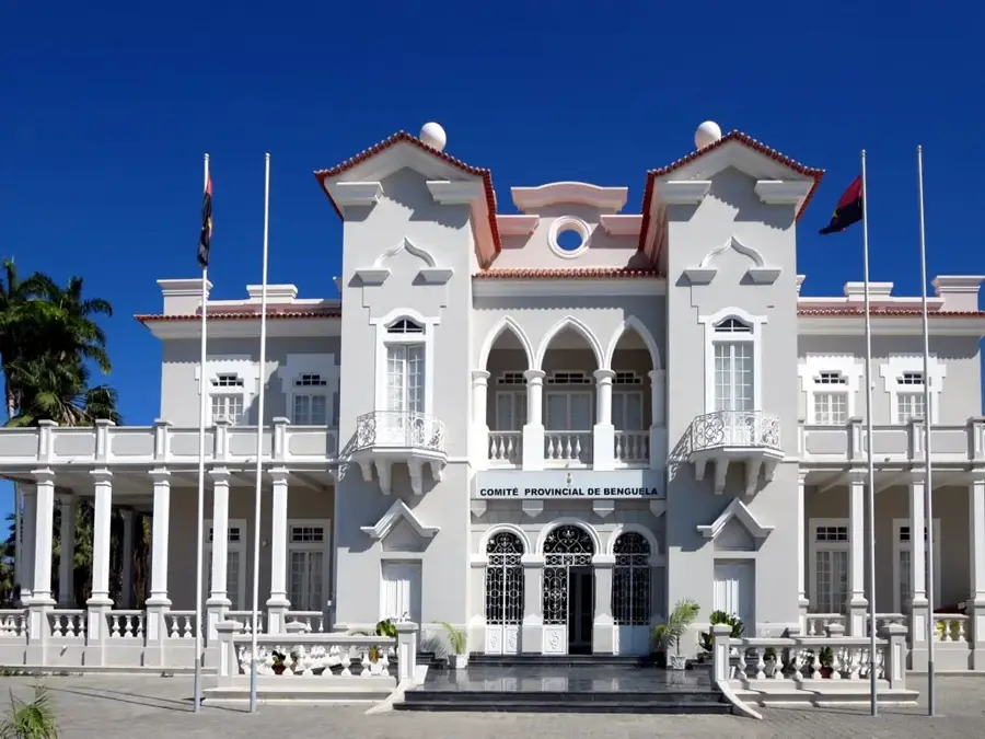
- The city of Huambo, formerly known as 'Nova Lisboa', is the plateau's central hub.
- Annual precipitation on the plateau ranges from 1,000 to 1,400 millimeters.
- The region is historically famous for being the world's largest exporter of sisal in the 1960s.
Explore nearby
Notable places around
Route planner — Car & Motorhome
Where do you start? We build the route here, with stops and country notes along the way.
© OpenStreetMap contributors · OpenRouteService
Sights nearby
Frequently asked questions
What is the Benguela highland area like?
When is the best time to visit?
Is the area good for short hikes?
Is it often foggy there?
Is it photogenic?
Benguela Highlands: where is it located?
Benguela Highlands: when is the best time to visit?
Benguela Highlands: why is it worth visiting?

Nearby cities


History & landmarks
Nature
More places