Plizio Visual Lab
Mutoko

ℹ️Practical info — Mutoko
▾
🌤 Weather — 5 days
📍 Nearby
Sights nearby
💡 Tips
- Buy fresh tomatoes and mangoes at the roadside stalls; they are the pride of the region.
- Visit the Mutoko Ruins early in the morning to enjoy the ancient stone structures in peace.
- Be aware of heavy truck traffic near the active black granite quarries.
- Hike Mt. Mtemwa for a panoramic view of the vast agricultural plains.
- Visit the markets at dawn to see the agricultural trading hub at its peak activity.
🍽 Food
Pumpkin leaves cooked in peanut butter, a regional specialty you must try.
A popular mixed grill of meats and vegetables cooked over an open fire.
A refreshing fermented maize drink, excellent for the hot agricultural climate.
🛍 Shopping · 🧘 Quiet spots
Opens at dawn and is the best place for fresh local spices and produce.
High-quality stone art sold directly by local craftsmen.
A serene 14th-century site with ancient stone walls and a calm atmosphere.
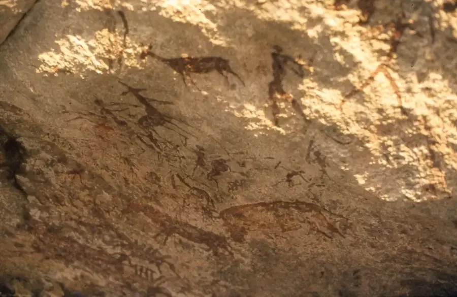
Features ancient San rock art in a quiet, elevated natural setting.
Water temperature…
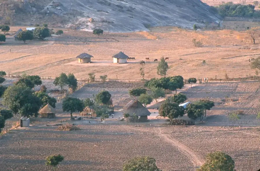
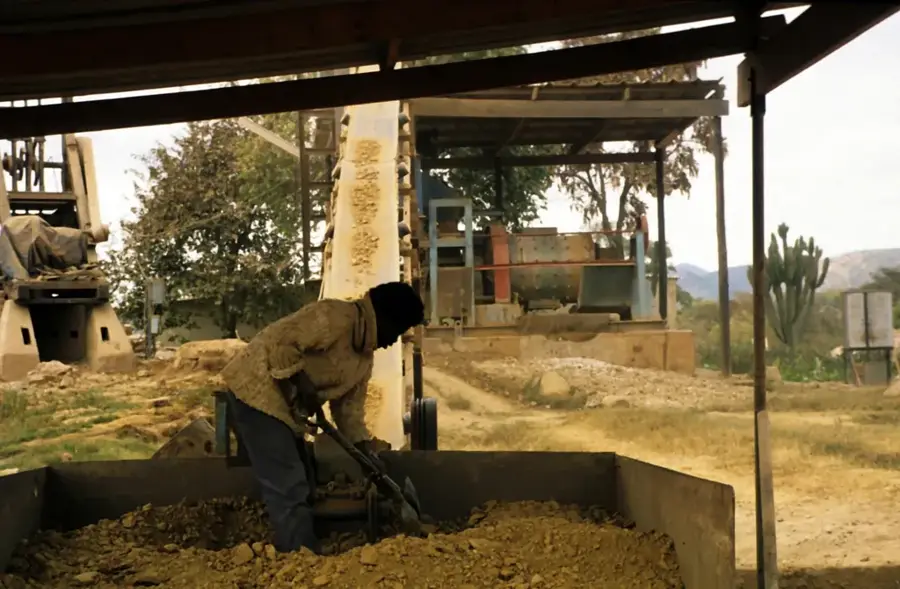
Mutoko serves as a pivotal agricultural and mining hub in northeastern Zimbabwe, situated within the Mashonaland East Province. Known colloquially as the 'vegetable garden' of Harare, the town is the primary source of tomatoes, mangoes, and various green vegetables for the nation's capital. Beyond its farming prowess, Mutoko is globally recognized for its vast deposits of high-quality black granite, which is quarried in massive blocks and exported to international markets, including Italy and South Africa. Its location on the main highway connecting Harare to Nyamapanda and onward to Malawi makes it a critical transit point for regional trade and haulage. Named after a legendary local chief, the town remains a center of traditional Shona culture. The surrounding landscape is characterized by impressive granite kopjes (hills), providing a rugged backdrop to the bustling roadside markets where local small-scale farmers trade their seasonal harvests.
- Location: Zimbabwe
- Nearby: Murehwa (55 km)
- Population: ~12.336 (2024)
Best time to visit & climate
The most pleasant time to visit is Apr, Sep, Oct.
| Jan | Feb | Mar | Apr | May | Jun | Jul | Aug | Sep | Oct | Nov | Dec | |
|---|---|---|---|---|---|---|---|---|---|---|---|---|
| Avg °C | 22 | 22 | 22 | 20 | 18 | 16 | 15 | 18 | 21 | 24 | 24 | 23 |
| Rain mm | 206 | 149 | 91 | 23 | 5 | 2 | 5 | 2 | 4 | 17 | 87 | 200 |
Geography
Facts
- Mutoko has a population of about 15,000 (2012).
- The town is at an elevation of 1,100 m.
- Annual rainfall is 900 mm.
- Regional tobacco production is 8,000 tonnes annually.
- Nyadiri River is 120 km long.
- Mutoko hospital has 70 beds.
Explore nearby
Notable places around
Route planner — Car & Motorhome
Where do you start? We build the route here, with stops and country notes along the way.
© OpenStreetMap contributors · OpenRouteService
Frequently asked questions
How many days should I spend in Mutoko?
What is the best time of year to visit Mutoko?
How is the best way to get to Mutoko?
What is a typical dish in Mutoko?
Is Mutoko suitable for families with children?
Mutoko: where is it located?
Mutoko: when is the best time to visit?
Mutoko: why is it worth visiting?

Nearby cities


More places