Plizio Visual Lab
Mashonaland Plateau

Weather…
Water temperature…
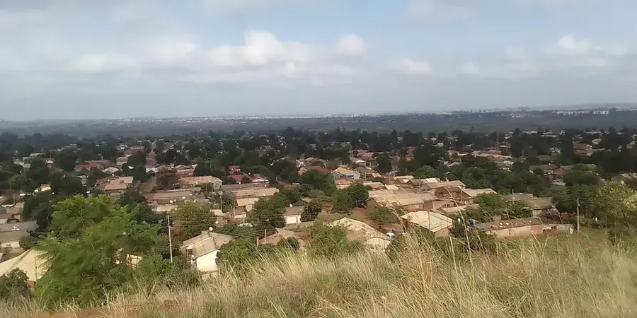
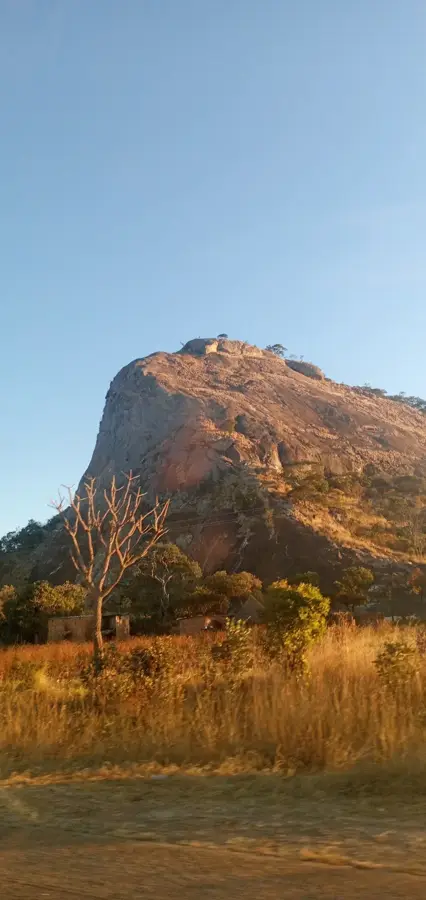
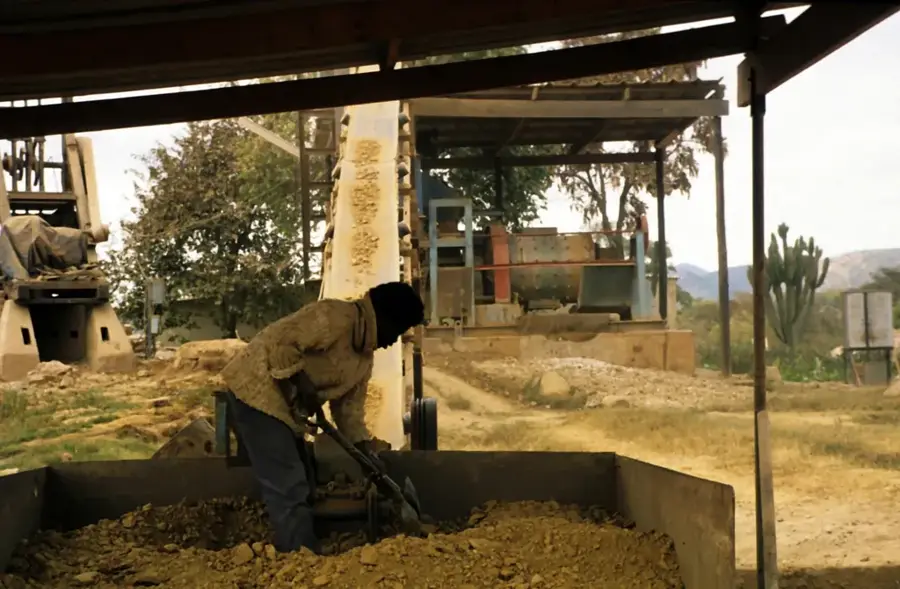
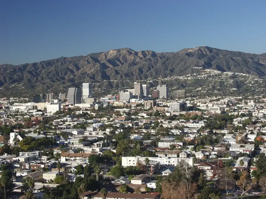
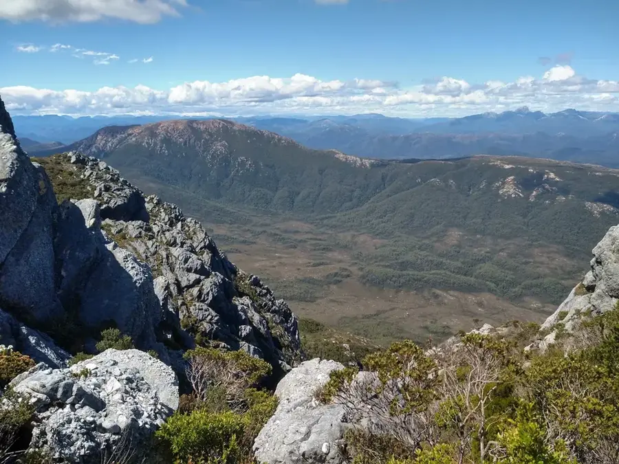
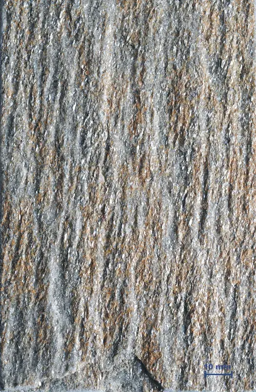
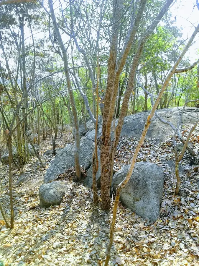
The Mashonaland Plateau forms the gently rolling northern half of the Zimbabwean Highveld and is the economic and agricultural center of the nation. With an average altitude of about 1500 meters, the plateau provides a remarkably pleasant climate with clear, sunny winters and reliable rainfall in the summer. These optimal conditions, coupled with deep, fertile red soils, make the region the most important "breadbasket" province of the country. Intensive commercial agriculture dominates here, especially the cultivation of tobacco (Zimbabwe's most important export), maize, wheat, and soybeans. In the heart of the plateau lies the spirited capital city of Harare, surrounded by affluent suburbs and farms. The natural landscape of miombo woodlands and extensive grasslands has given way to cultivated landscapes in many places, but photogenic rocky kopjes (granite hills) constantly break the horizons, recalling the geological origins of the region.
- Location: Zimbabwe
- Nearby: Shamva (19 km)
Best time to visit & climate
The most pleasant time to visit is Apr, Sep, Oct.
| Jan | Feb | Mar | Apr | May | Jun | Jul | Aug | Sep | Oct | Nov | Dec | |
|---|---|---|---|---|---|---|---|---|---|---|---|---|
| Avg °C | 22 | 22 | 21 | 20 | 17 | 15 | 15 | 17 | 21 | 23 | 24 | 22 |
| Rain mm | 206 | 154 | 94 | 25 | 5 | 2 | 5 | 1 | 4 | 18 | 89 | 202 |
📋 Practical info
Geography
Explore nearby
Notable places around
Route planner — Car & Motorhome
Where do you start? We build the route here, with stops and country notes along the way.
© OpenStreetMap contributors · OpenRouteService
Sights in the town Mashonaland Plateau (1)
Sights nearby
Frequently asked questions
What is the Mashonaland-Hochland?
Is it suitable for business travelers?
What attractions are there?
What is the climate like?
Are there family-friendly parks?
Mashonaland Plateau: where is it located?
Mashonaland Plateau: when is the best time to visit?
Mashonaland Plateau: why is it worth visiting?

Nearby cities

Nature

More places