Plizio Visual Lab
Highveld
Weather…
Water temperature…
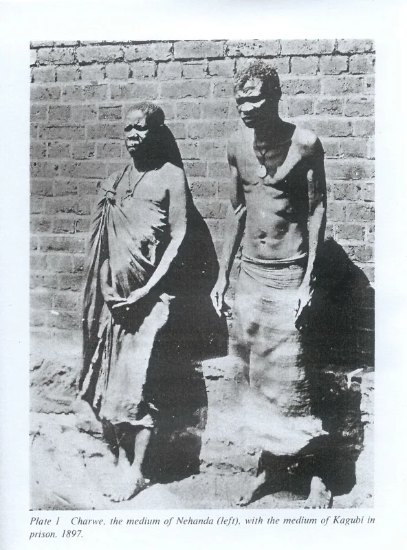
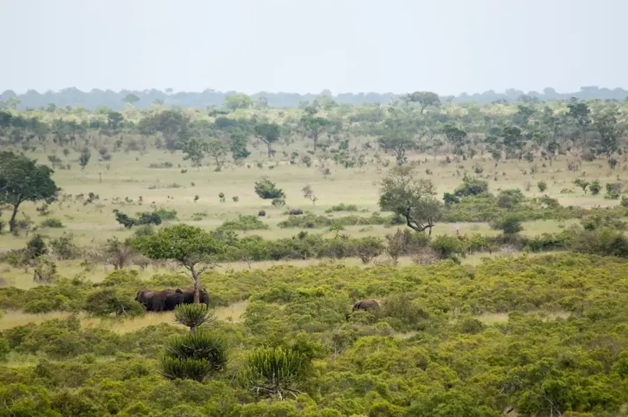
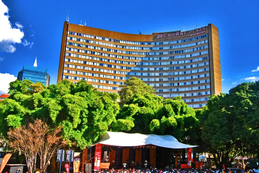
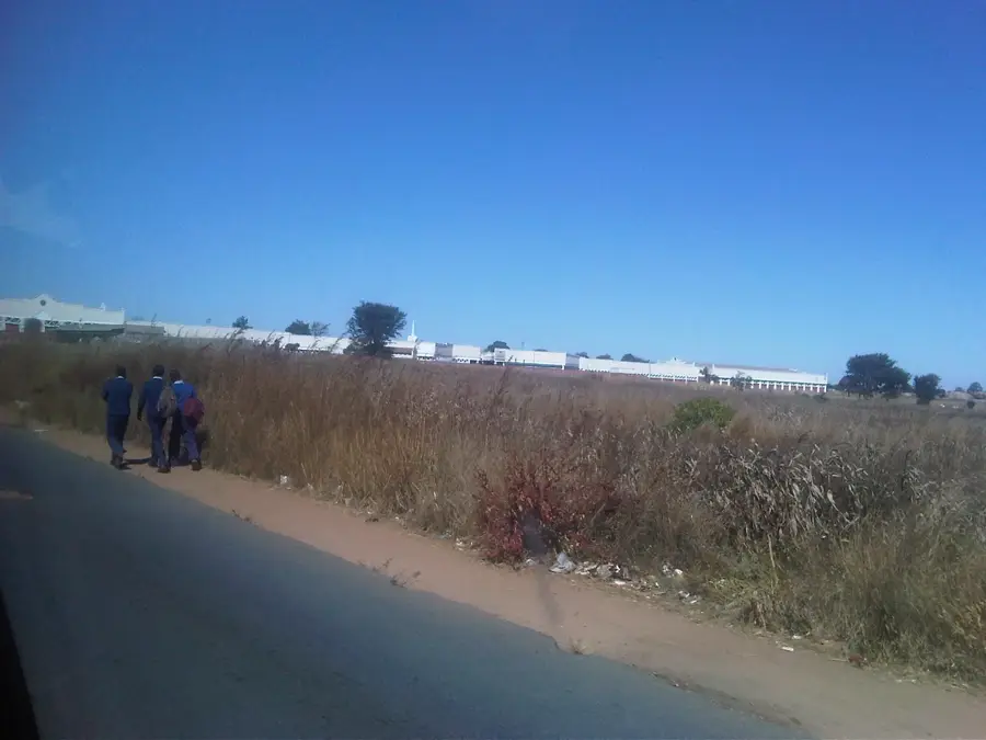
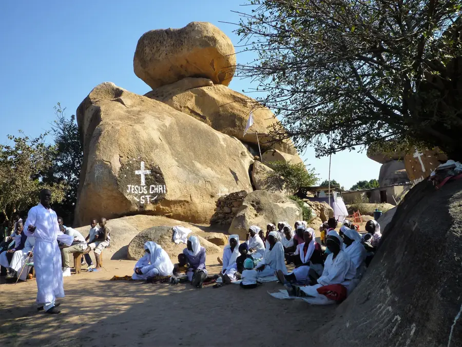
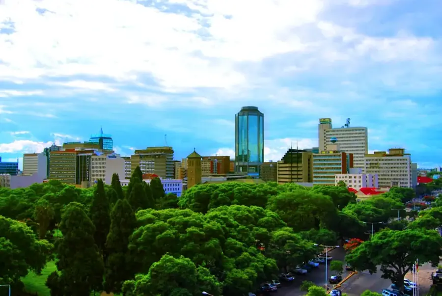
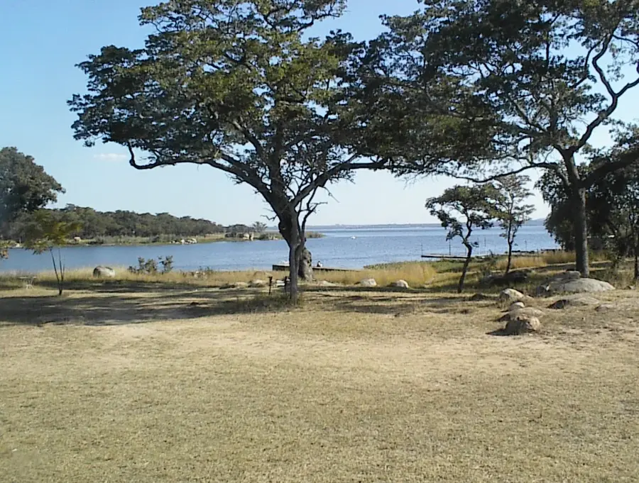
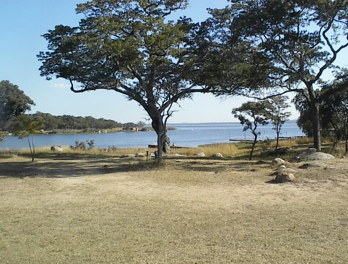
The Highveld, also known as the central high plateau, forms the geographical and economic backbone of Zimbabwe. With an average elevation between 1200 and 1500 meters above sea level, it runs across the country from the southwest to the northeast and separates the river systems of the Zambezi in the north from the Limpopo in the south. This elevated position provides a moderate, pleasant climate with cool dry seasons and more reliable summer rainfall, making the region the country's most fertile agricultural zone. The majority of the population is concentrated here, and major cities such as Harare and Bulawayo are located on this plateau. Historically, the Highveld was the center of the great Mutapa Empire and other significant civilizations. The landscape is characterized by wide savannas, striking granite rock formations (kopjes), and intensive agriculture, including the cultivation of tobacco, maize, and cotton.
- Location: Zimbabwe
- Nearby: Chegutu (53 km)
Best time to visit & climate
The most pleasant time to visit is Apr, Aug, Sep.
| Jan | Feb | Mar | Apr | May | Jun | Jul | Aug | Sep | Oct | Nov | Dec | |
|---|---|---|---|---|---|---|---|---|---|---|---|---|
| Avg °C | 23 | 22 | 21 | 20 | 17 | 15 | 14 | 18 | 21 | 24 | 24 | 23 |
| Rain mm | 154 | 131 | 86 | 30 | 4 | 2 | 2 | 1 | 4 | 24 | 88 | 185 |
📋 Practical info
Geography
Explore nearby
Notable places around
Route planner — Car & Motorhome
Where do you start? We build the route here, with stops and country notes along the way.
© OpenStreetMap contributors · OpenRouteService
Sights nearby
Frequently asked questions
What exactly is the Highveld?
When is the best time to travel?
Can you hike in the Highveld?
Are there many attractions?
Is it a family-friendly region?
Highveld: where is it located?
Highveld: when is the best time to visit?
Highveld: why is it worth visiting?

Nearby cities
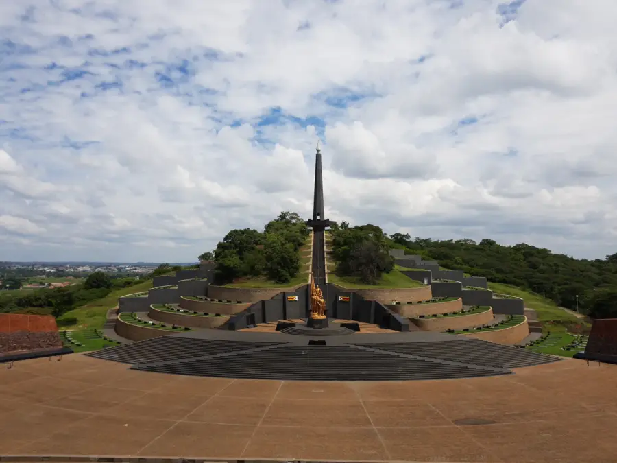
History & landmarks


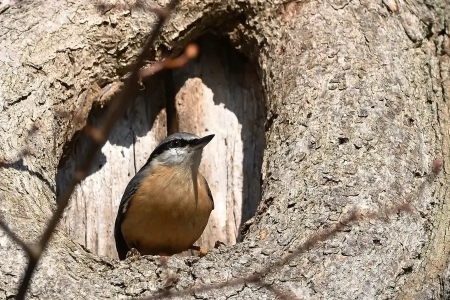
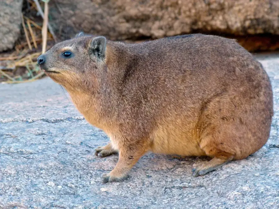
Nature
More places