Plizio Visual Lab
Kadoma
ℹ️Practical info — Kadoma
▾
🌤 Weather — 5 days
📍 Nearby
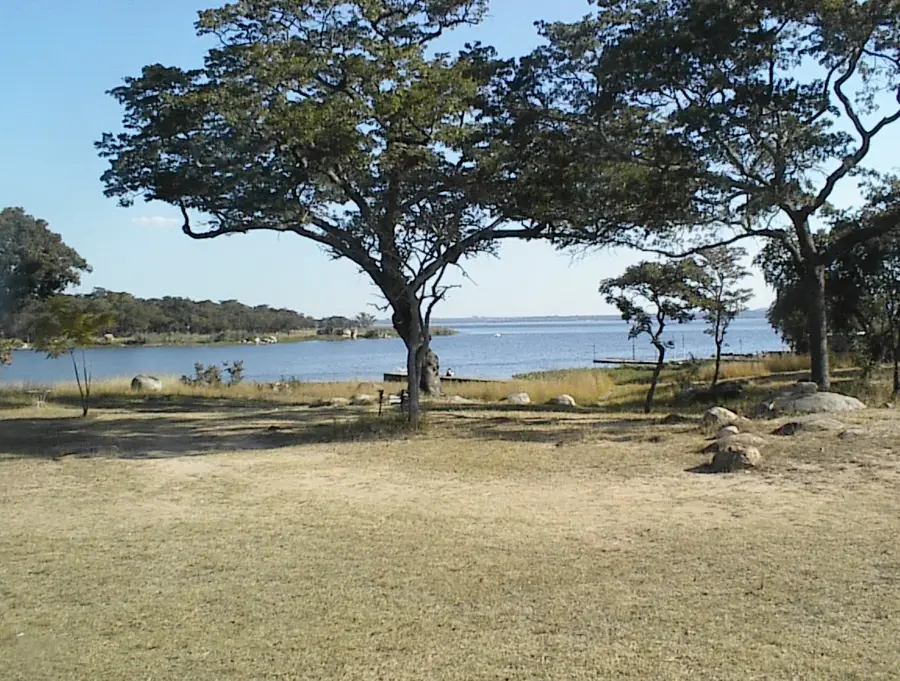
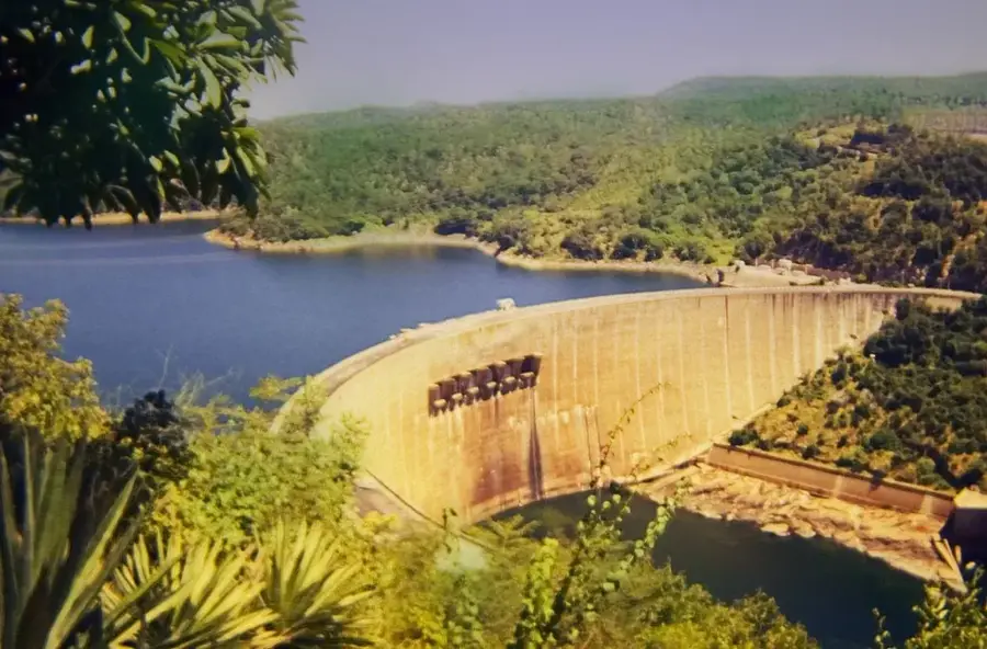
Sights nearby
💡 Tips
- As a mining town, Kadoma has a raw, industrial vibe; always wear sturdy closed shoes when walking off the main paved roads.
- Power outages can happen; keep your devices charged and consider carrying a small power bank.
- Public combis (minibuses) are the cheapest transport, but private taxis are safer and more reliable for night travel.
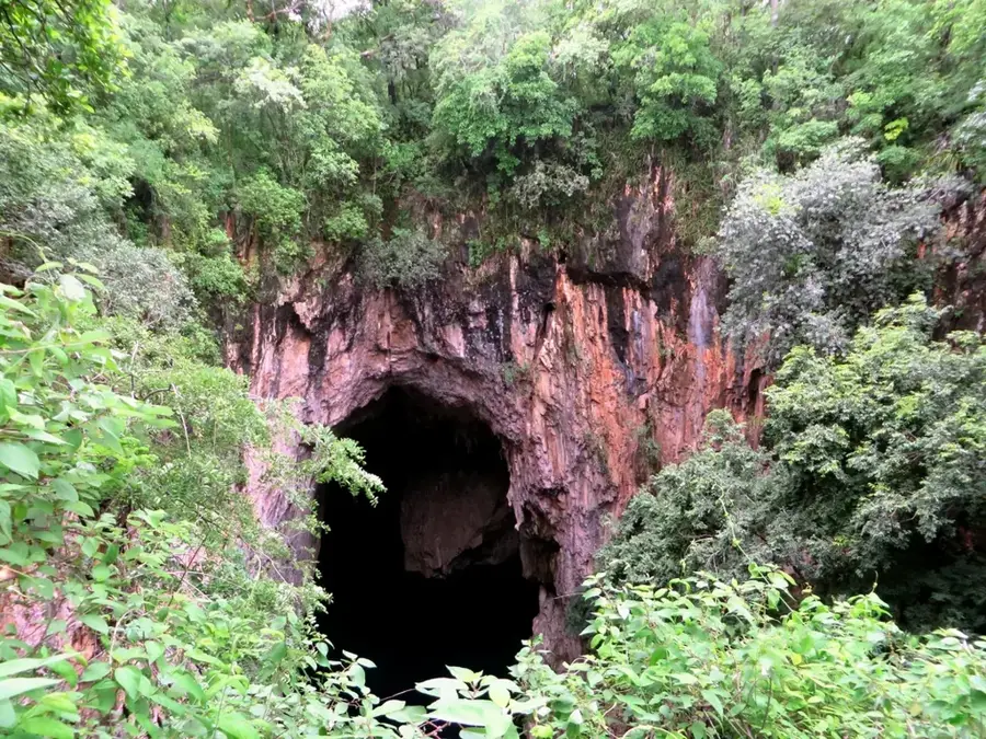
- Visit the local mining heritage sites, but never venture into unguided or abandoned shafts as they are highly dangerous.
🍽 Food
The classic Zimbabwean dish of white cornmeal served with beef or chicken stew, widely available in town center takeaways.
A fantastic street food snack sold freshly roasted over hot coals by vendors at main bus ranks.
Cured and dried meat, first-rate as a protein-rich snack; you can buy high-quality local batches at the butcheries in town.
🛍 Shopping · 🧘 Quiet spots
A bustling spot to buy fresh, locally grown produce from the surrounding agricultural belt.
Look for local artists displaying beautifully polished stone sculptures near the main commercial district.
The nearby suburb of Eiffel Flats provides a well-maintained green area great for a peaceful walk.
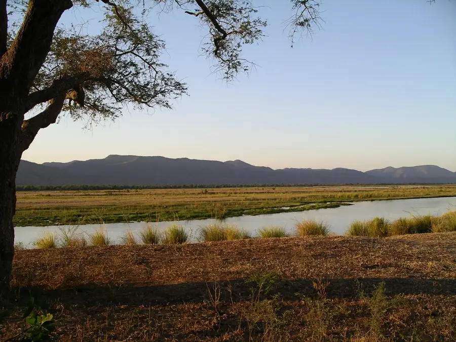
Take a drive just outside the city limits to view the expansive, golden agricultural fields at sunset.
Water temperature…
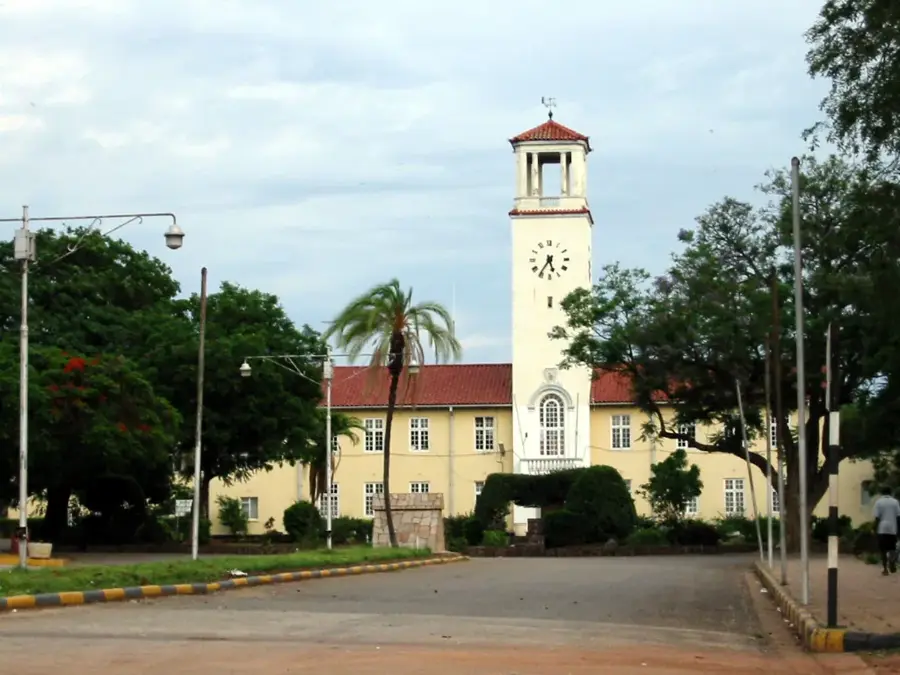
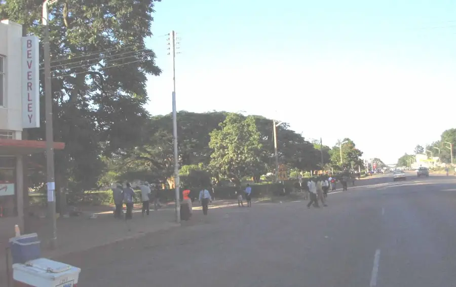
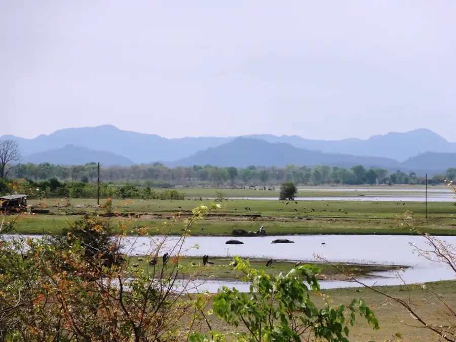
Kadoma, situated in the Mashonaland West Province, is a pivotal industrial and mining hub in Zimbabwe. Originally established in 1901 as Gatooma, the town grew rapidly following the discovery of significant gold, copper, and nickel deposits in the surrounding hills. Today, mining remains a cornerstone of the local economy, alongside a thriving agricultural sector. Kadoma is widely regarded as the center of Zimbabwe's cotton industry, housing major ginning facilities that process harvests from the region's expansive commercial farms. The city's strategic location on the main highway between Harare and Bulawayo makes it an essential transit and trade point. While its character is largely shaped by industry and mining infrastructure, Kadoma also serves as a gateway to the fertile farming lands of Mashonaland, showcasing the country's dual reliance on its rich mineral resources and agricultural productivity.
- Location: Zimbabwe
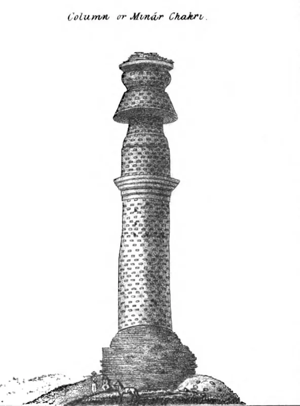
- Nearby: Chakari (26 km)
- Population: ~117.381 (2024)
Best time to visit & climate
The most pleasant time to visit is Apr, Aug, Sep.
| Jan | Feb | Mar | Apr | May | Jun | Jul | Aug | Sep | Oct | Nov | Dec | |
|---|---|---|---|---|---|---|---|---|---|---|---|---|
| Avg °C | 23 | 23 | 22 | 21 | 18 | 16 | 16 | 19 | 23 | 25 | 25 | 24 |
| Rain mm | 158 | 135 | 86 | 28 | 4 | 2 | 1 | 0 | 3 | 23 | 85 | 185 |
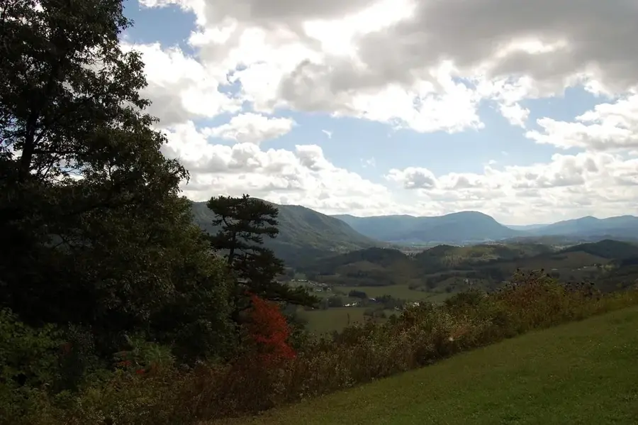
Geography
Explore nearby
Notable places around
Route planner — Car & Motorhome
Where do you start? We build the route here, with stops and country notes along the way.
© OpenStreetMap contributors · OpenRouteService
Sights in the town Kadoma (1)
Frequently asked questions
What is the main economic sector of Kadoma?
Is a visit worthwhile?
Where can you eat well here?
How is the infrastructure?
What is the best time to travel?
Kadoma: where is it located?
Kadoma: when is the best time to visit?
Kadoma: why is it worth visiting?

Nearby cities


History & landmarks
More places