Plizio Visual Lab
Wadi Bana

Weather…
Water temperature…
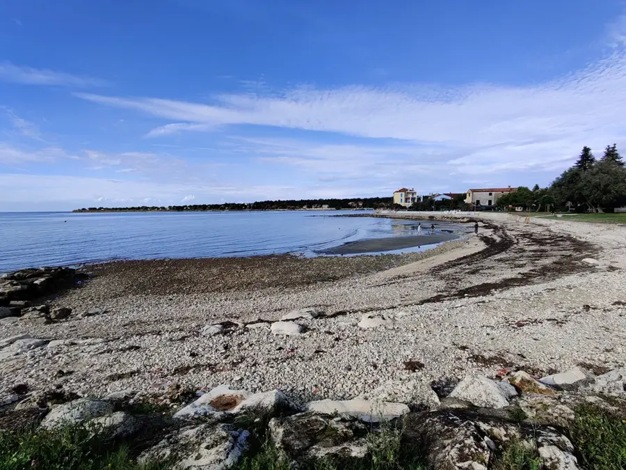
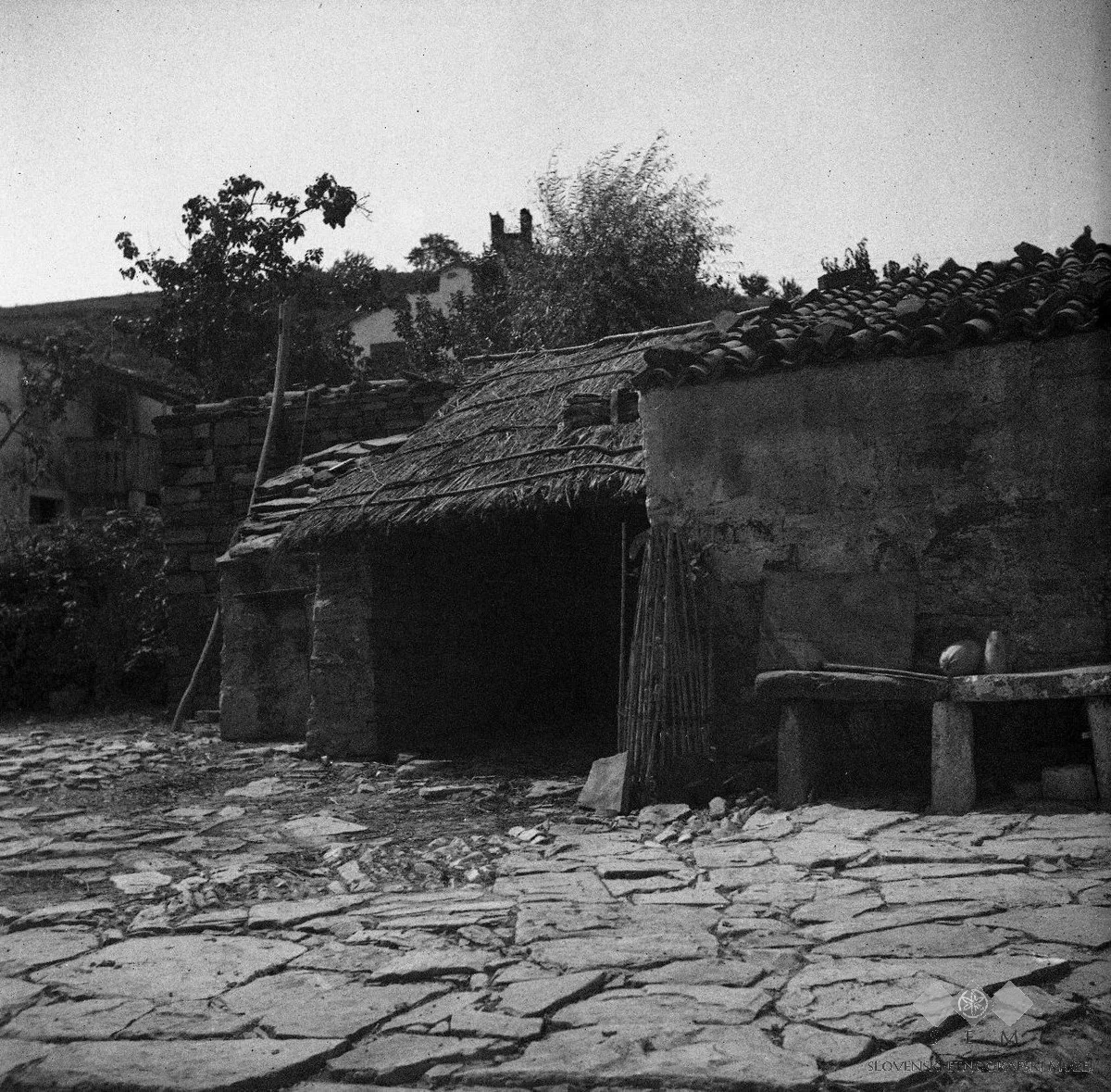
Wadi Bana is one of the most significant and water-rich river valleys in southern Yemen, flowing through the provinces of Ibb and Abyan. Originating in the high-rainfall Yemeni highlands, the wadi winds through deep canyons and broad valleys before eventually emptying into the Gulf of Aden. It is renowned for its perennial water flow, which enables intensive agriculture in an otherwise arid environment, making the wadi a vital 'green lung' for the region. The banks of Wadi Bana are lined with fertile fields growing cereals, fruits, and qat, with residents employing complex irrigation techniques passed down through generations. The landscape features dramatic changes in elevation, as the steep cliffs of its upper reaches gradually transition into the flatter coastal plains. Geologically, the valley is the result of long-term erosional processes that have carved deep into sedimentary and volcanic rock layers. Historically, the wadi served as a major settlement area and a trade corridor linking the highlands with coastal markets. The climate in the upper wadi is mild and humid, while the lower reaches are influenced by the heat of the coastal plain. Wadi Bana remains a cornerstone of water supply and food security for southern Yemen.
- Location: Yemen
- Top sights: Jabal Hasham · Jabal Masud
- Nearby: Al Burayqah (74 km)
Best time to visit & climate
The most pleasant time to visit is Jan, Feb, Dec.
| Jan | Feb | Mar | Apr | May | Jun | Jul | Aug | Sep | Oct | Nov | Dec | |
|---|---|---|---|---|---|---|---|---|---|---|---|---|
| Avg °C | 22 | 23 | 25 | 28 | 30 | 31 | 30 | 30 | 30 | 27 | 25 | 23 |
| Rain mm | 2 | 1 | 2 | 4 | 5 | 7 | 6 | 10 | 6 | 4 | 2 | 3 |
📋 Practical info
Geography
Facts
- Wadi Bana is one of the few rivers in Yemen with perennial water flow.
- The river course extends for a total length of approximately 250 kilometers.
- The Ibb region at the wadi's source is known as the 'Green Province' of Yemen.
- The wadi is critical for the large-scale irrigation of the Abyan plain.
- Heavy summer rains can lead to sudden and powerful flash floods in the valley.
- Geologically, the wadi carves through Tertiary volcanic and limestone layers.
Explore nearby
Notable places around
Route planner — Car & Motorhome
Where do you start? We build the route here, with stops and country notes along the way.
© OpenStreetMap contributors · OpenRouteService
Sights in the town Wadi Bana (2)
Sights nearby
Frequently asked questions
What is the highlight in Wadi Bana?
Can you camp in Wadi Bana?
Is a visa required for the area?
How is the mobile reception?
Are there water sources there?
Wadi Bana: where is it located?
Wadi Bana: what is there to see?
Wadi Bana: when is the best time to visit?
Wadi Bana: why is it worth visiting?

Nearby cities