Plizio Visual Lab
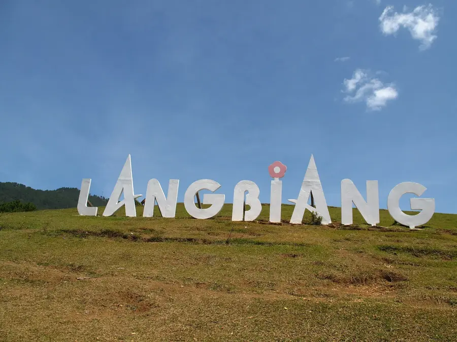
Langbiang Mountain
Weather…
Water temperature…
The Langbiang Massif is located about 12 kilometers north of Da Lat in Lam Dong province and is one of the most prominent geological formations in the Central Highlands. The massif consists of two primary peaks: Nui Ba at 2,167 meters and Nui Ong at 2,124 meters. The mountains are primarily composed of metamorphic rock and are covered with dense pine forests and temperate deciduous forests. Historically, the mountain is closely linked to the culture of the K'Ho ethnic group, who have inhabited the region for centuries. A local legend tells the tragic love story of K'Lang and H'Biang, whose names merged to form the massif's name. The region serves as a critical watershed for the city of Da Lat and is home to numerous endemic orchid species and diverse birdlife. Climatic conditions are characterized by cool temperatures and frequent fog, favoring the ecological niche for highland flora.
- Location: Vietnam
- Top sights: cây thông Cô Đơn · cay thong co don · Làng Đồng trụ LangBiang
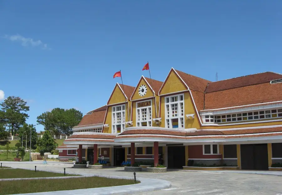
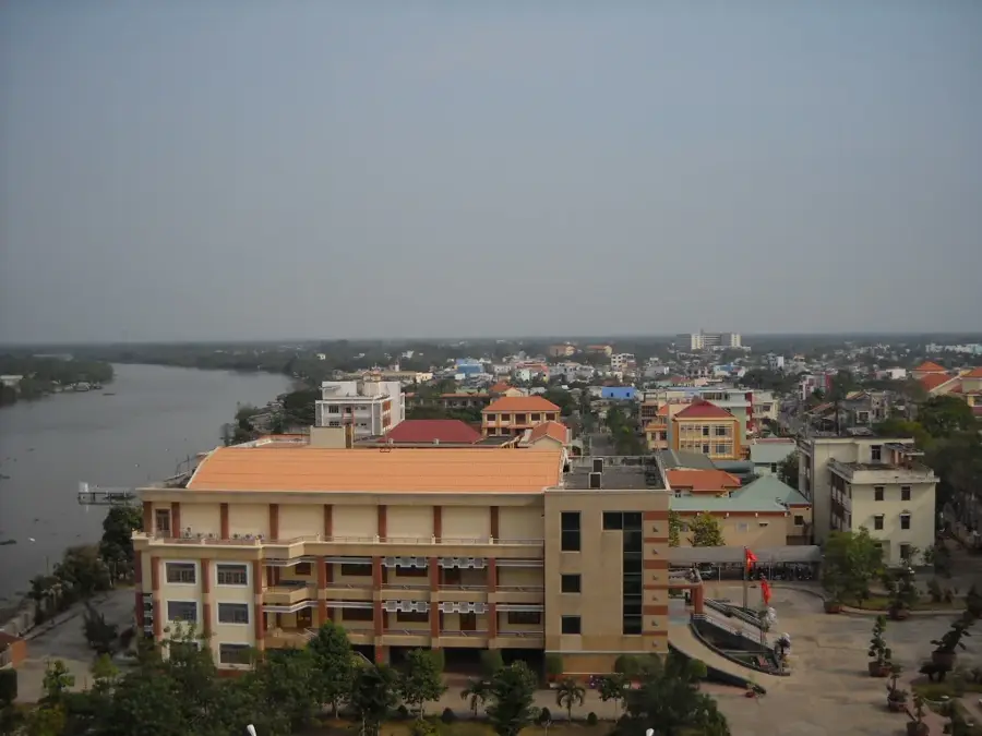
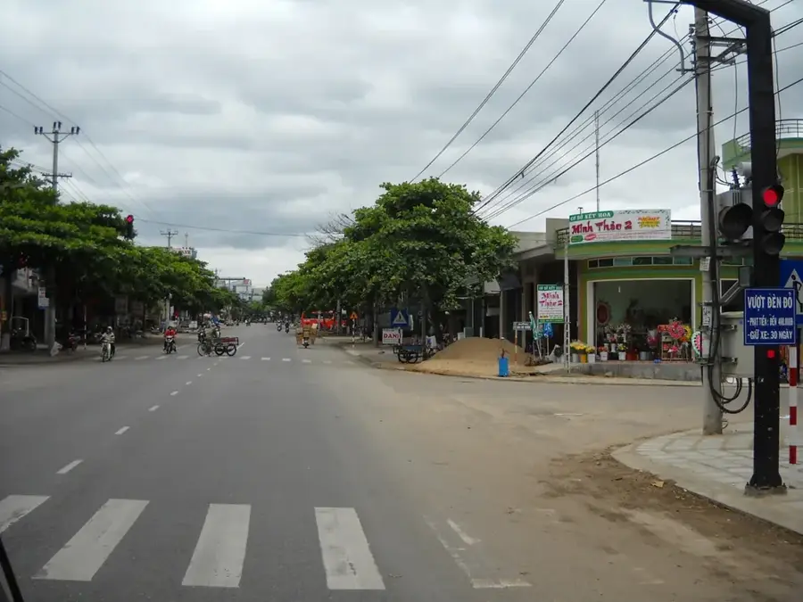
- Nearby: Da Lat (5 km)
Best time to visit & climate
The most pleasant time to visit is Jan–Mar.
| Jan | Feb | Mar | Apr | May | Jun | Jul | Aug | Sep | Oct | Nov | Dec | |
|---|---|---|---|---|---|---|---|---|---|---|---|---|
| Avg °C | 20 | 21 | 23 | 25 | 26 | 25 | 25 | 25 | 24 | 23 | 22 | 21 |
| Rain mm | 34 | 9 | 23 | 38 | 112 | 86 | 101 | 117 | 197 | 225 | 251 | 112 |
📋 Practical info
Geography
Facts
- The highest elevation of the massif is Nui Ba at 2,167 meters.
- The mountain is located about 12 kilometers from the center of Da Lat.
- The region is part of the Bidoup-Nui Ba National Park.
- The massif houses Radar Hill, which served as a radio station during the Vietnam War.
- Over 1,900 vascular plant species are documented in the surrounding protected area.
- The mountain is the ancestral home of the K'Ho ethnic group.
Explore nearby
Notable places around
Route planner — Car & Motorhome
Where do you start? We build the route here, with stops and country notes along the way.
© OpenStreetMap contributors · OpenRouteService
Sights in the town Langbiang Mountain (6)
Sights nearby
Frequently asked questions
How do you get to Langbiang Mountain?
How long is the hike?
What is the best time of day?
Is there food available there?
Is the mountain suitable for families?
Langbiang Mountain: where is it located?
Langbiang Mountain: what is there to see?
Langbiang Mountain: when is the best time to visit?
Langbiang Mountain: why is it worth visiting?

Nearby cities
Nature
More places