Plizio Visual Lab
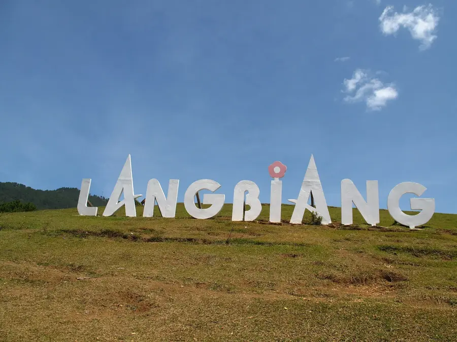
Đà Lạt Plateau
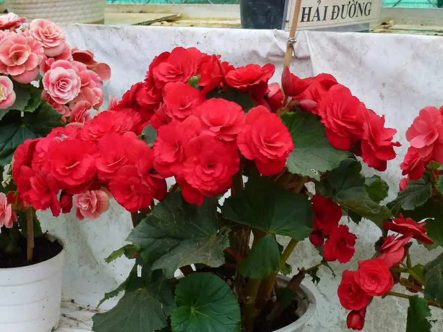
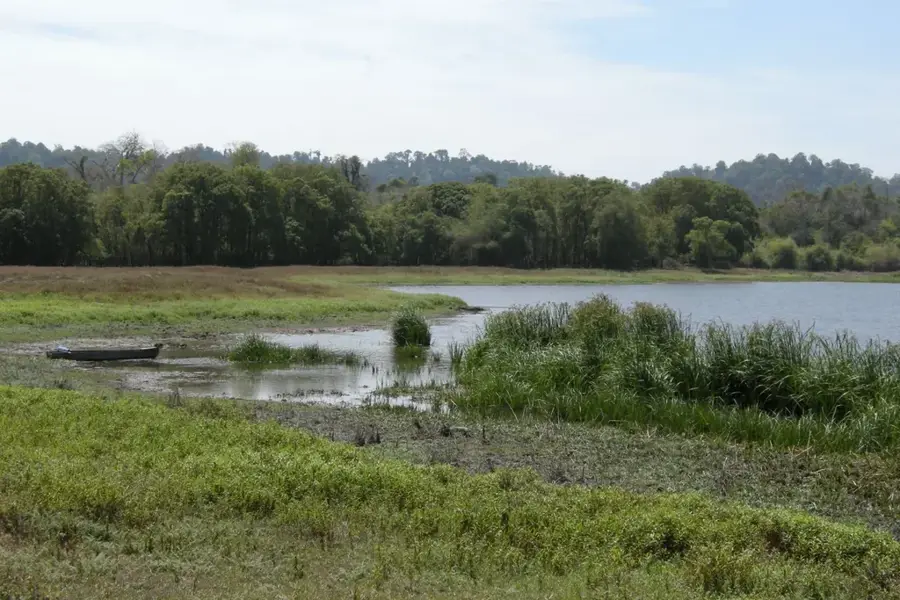
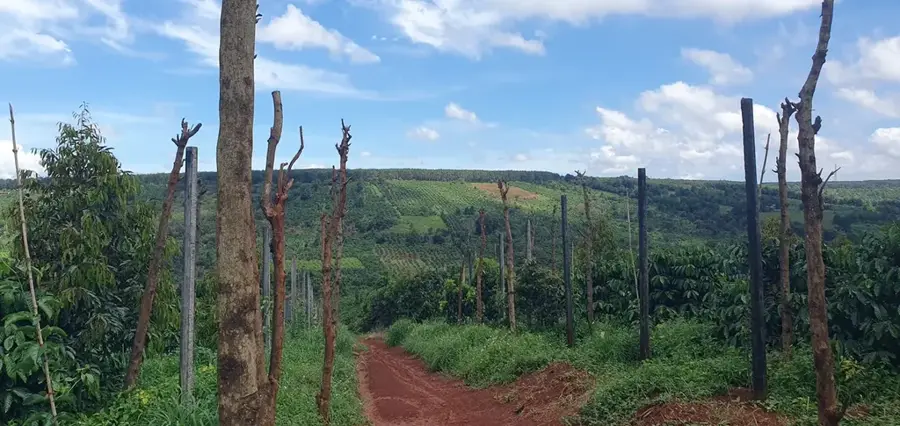
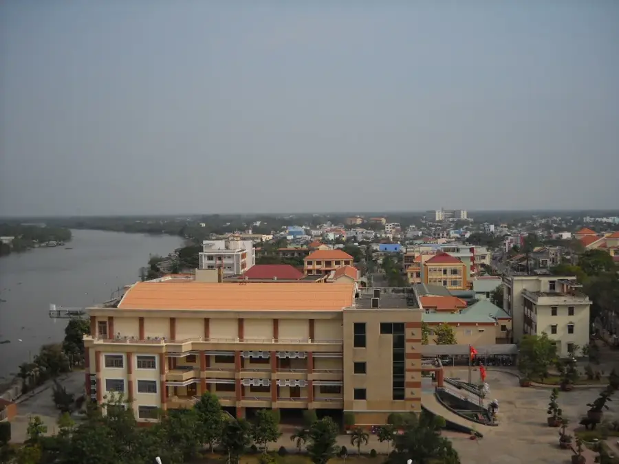
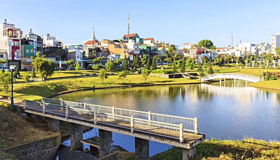
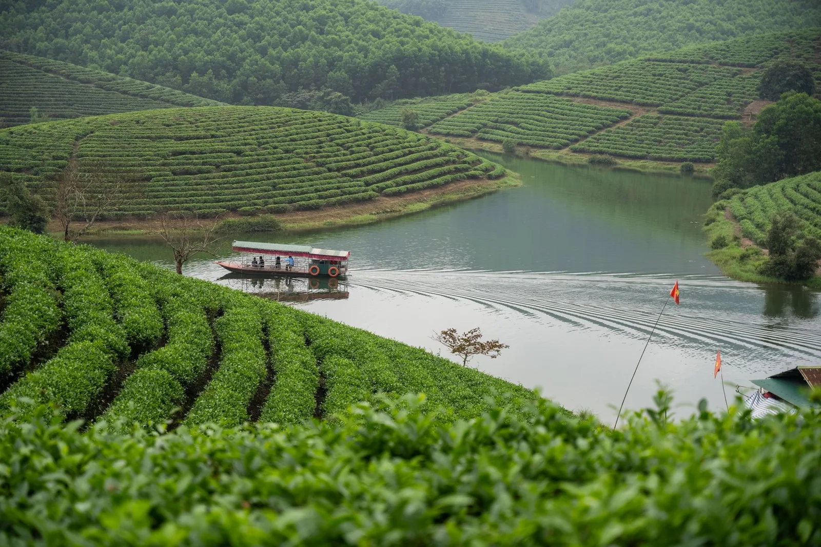
The Da Lat Plateau, also known as the Lang Biang Plateau, is located in the Central Highlands of Vietnam within Lam Dong province. With an average altitude of about 1,500 meters, the plateau is characterized by a cool, temperate climate that differs sharply from the tropical coastal regions. Geologically, the plateau consists of a mixture of basaltic rock and sedimentary layers, forming highly fertile soils. This led to the development of a significant agricultural economy specializing in vegetables, flowers, and Arabica coffee. Historically, the region was explored in the late 19th century by the French physician Alexandre Yersin, leading to the founding of Da Lat as a resort for colonial officials. The landscape is defined by rolling hills, pine forests, and artificial lakes such as Xuan Huong. The plateau is also home to various ethnic groups, particularly the K'Ho, whose cultural heritage is deeply rooted in the region.
- Location: Vietnam
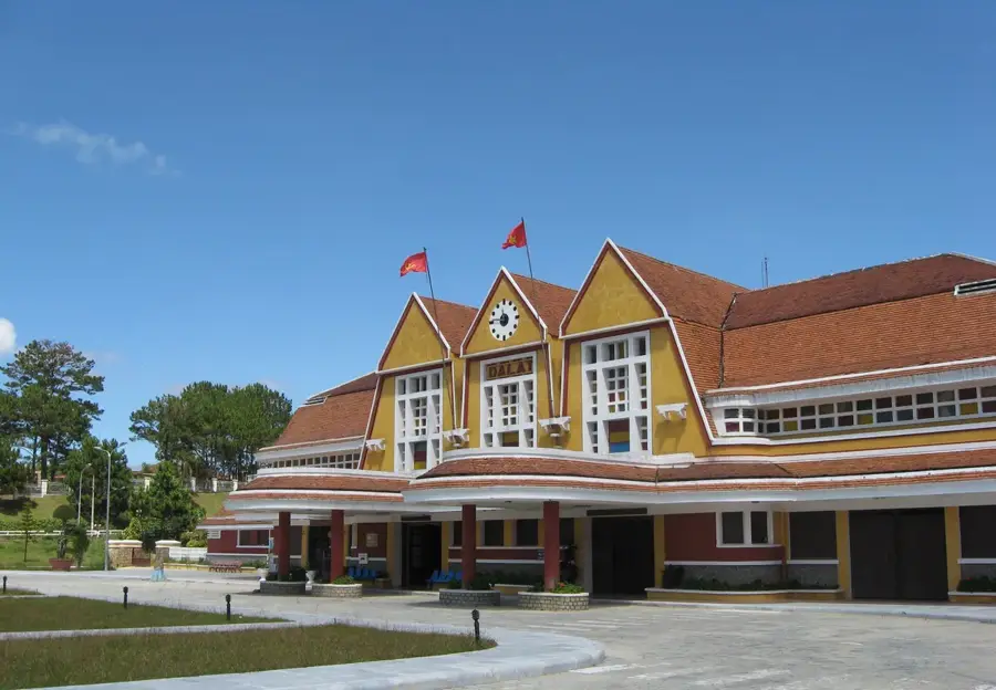
- Top sights: Old Train & Carriages · Thien Vuong Co Sat · Datanla Fall
- Nearby: Phan Thiet (53 km)
Best time to visit & climate
The most pleasant time to visit is Jan–Mar.
| Jan | Feb | Mar | Apr | May | Jun | Jul | Aug | Sep | Oct | Nov | Dec | |
|---|---|---|---|---|---|---|---|---|---|---|---|---|
| Avg °C | 20 | 21 | 23 | 25 | 26 | 25 | 25 | 25 | 24 | 23 | 22 | 21 |
| Rain mm | 34 | 9 | 23 | 38 | 112 | 86 | 101 | 117 | 197 | 225 | 251 | 112 |
📋 Practical info
Geography
Facts
- The plateau has an average elevation of 1,500 meters.
- The city of Da Lat was 'discovered' in 1893 by Alexandre Yersin.
- It is the primary center for Arabica coffee cultivation in Vietnam.
- Over 1,000 villas from the French colonial era have been preserved.
- The region produces approximately 50% of Vietnam's cut flowers.
- The plateau is surrounded by three major reservoirs: Tuyen Lam, Xuan Huong, and Da Nhim.
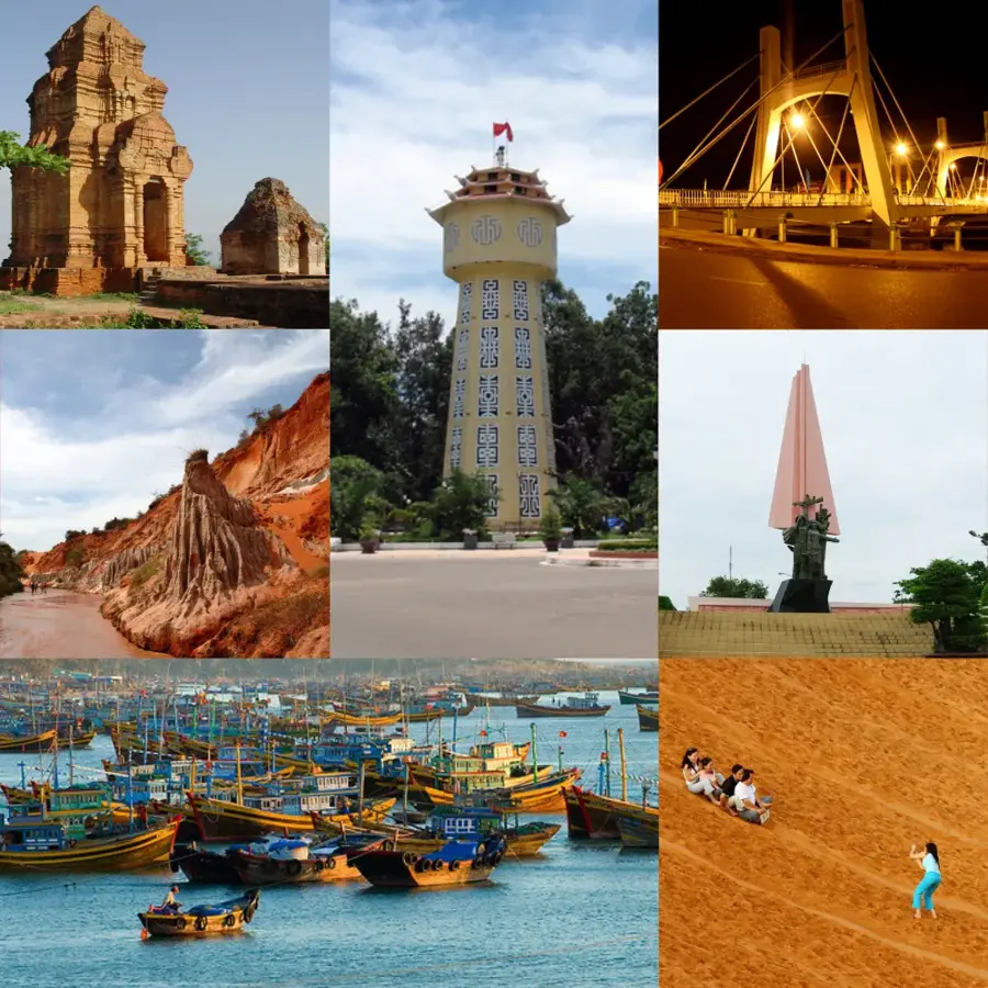
Explore nearby
Notable places around
Route planner — Car & Motorhome
Where do you start? We build the route here, with stops and country notes along the way.
© OpenStreetMap contributors · OpenRouteService
Sights in the town Đà Lạt Plateau (5)
Sights nearby
Frequently asked questions
Is Đà-Lạt pleasant all year round?
How many days should you stay?
What is the best local specialty?
Is Đà-Lạt family-friendly?
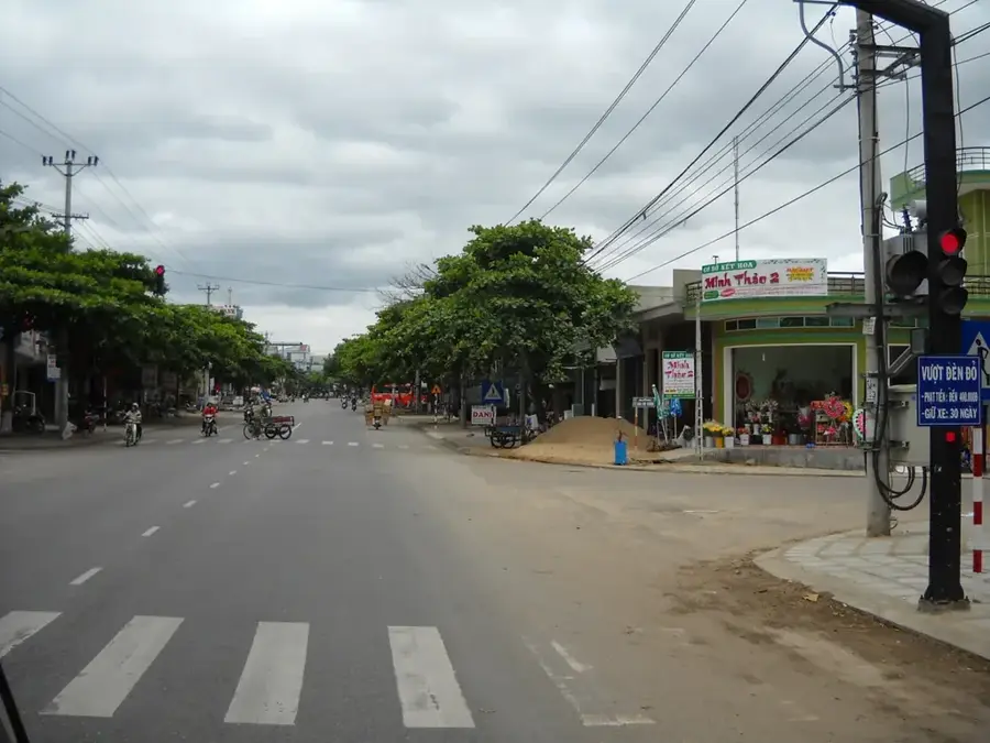
What is the traffic like in the city?
Đà Lạt Plateau: where is it located?
Đà Lạt Plateau: what is there to see?
Đà Lạt Plateau: when is the best time to visit?
Đà Lạt Plateau: why is it worth visiting?

Nearby cities
Nature
More places