Plizio Visual Lab
Lira
ℹ️Practical info — Lira
▾
🌤 Weather — 5 days
📍 Nearby
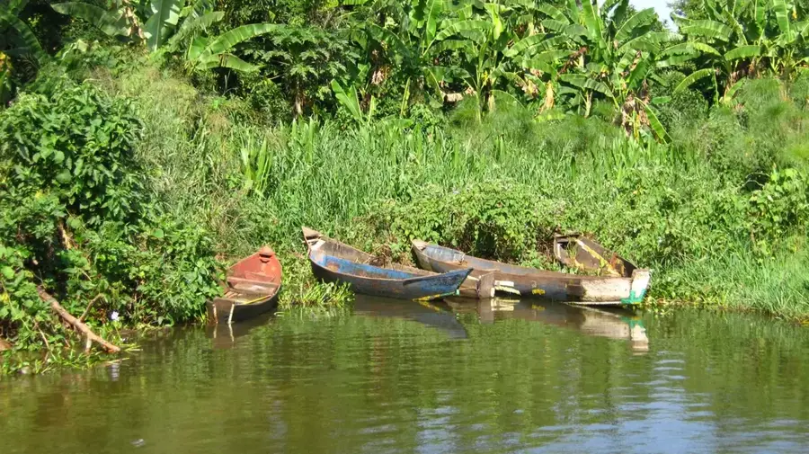
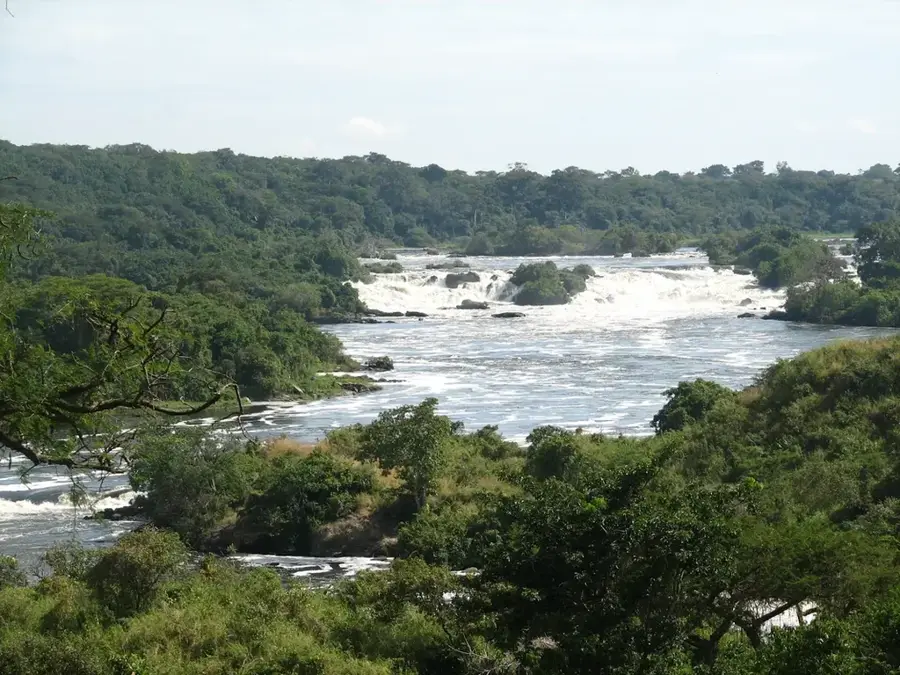
Sights nearby
💡 Tips
- Visit Coronation Park in the city center for a pleasant and relaxing stroll.
- Learn about the Lango culture, which is central to the identity of this region.
- Use Lira as a strategic stopover when traveling to northern parts of Uganda.
- Head to the main market in the morning for the best selection of fresh local goods.
- Experience the local hospitality; Lira is known for its friendly and welcoming atmosphere.
🍽 Food
A slightly sour green leafy vegetable dish cooked with peanut paste.
A traditional vegetable dish often served with millet bread (Kalo).
The regional staple food, traditionally served with stews and greens.
🛍 Shopping · 🧘 Quiet spots
A great place to buy grains, colorful fabrics, and local handmade crafts.
Small shops in the center often stock traditional Lango pottery and woven items.
A green space in the heart of the city, excellent for a quiet break.
A calmer residential part of town with wide, tree-lined streets.
Water temperature…
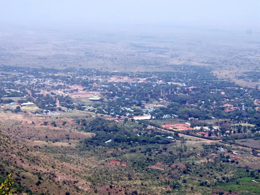
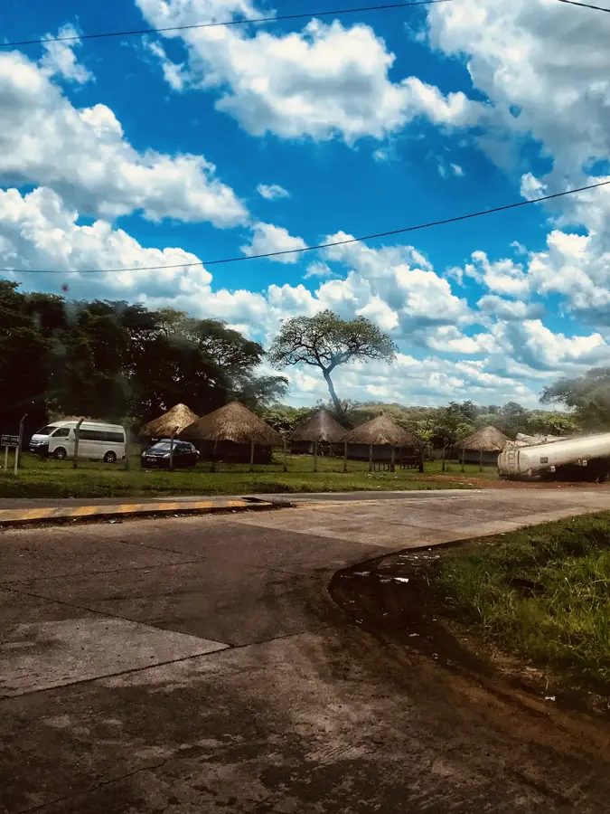
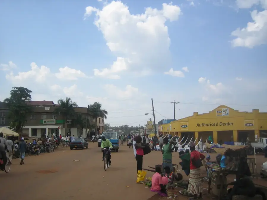
Lira is a major city in Northern Uganda and the principal urban center of the Lango sub-region. It is situated on the main highway connecting Kampala to South Sudan, making it a vital transit point for regional trade and logistics. The city's economy is predominantly based on agriculture and commerce, with Lira being a significant producer of sunflower oil, cotton, and various grains. Historically, the area was settled by the Lango people, who possess a distinct cultural identity reflected in the city's social fabric and traditions. Lira has experienced rapid urbanization and population growth in recent decades, leading to the development of new markets, educational institutions, and healthcare facilities. The Lira Regional Referral Hospital serves as a critical medical hub for several surrounding districts. The city also hosts vocational and technical institutions aimed at boosting the local workforce's skills, making it one of Uganda's fastest-growing economic centers.
- Location: Uganda
- Top sights: Armgod Black's Parlour · LANGO HERITAGE CENTRE MUSEUM · Lira Central Forest Reserve
- Nearby: Oyam (46 km)
- Population: ~119.323 (2016)
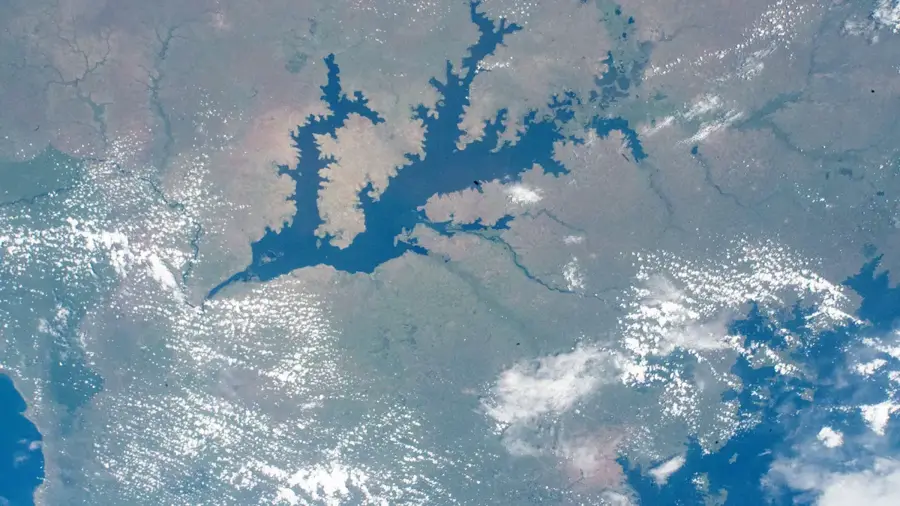
Geography
Facts
- Lira is the primary commercial hub for the Lango sub-region.
- The city is a major center for sunflower and cotton processing.
- Lira was officially granted city status in 2020.
- It serves as a major station on the northern railway line.
- The city is located at an elevation of 1,080 meters (3,540 feet).
- Lira University is a key institution for higher learning in the area.
Explore nearby
Notable places around
Route planner — Car & Motorhome
Where do you start? We build the route here, with stops and country notes along the way.
© OpenStreetMap contributors · OpenRouteService
Sights in the town Lira (4)
Frequently asked questions
What kind of place is Lira?
Are there hotels there?
How is the climate in Lira?
What can one do nearby?
Is Lira known to tourists?
Lira: where is it located?
Lira: what is there to see?
Lira: why is it worth visiting?

Nearby cities