Plizio Visual Lab
Ban Nam Pu

ℹ️Practical info — Ban Nam Pu
▾
🌤 Weather — 5 days
📍 Nearby
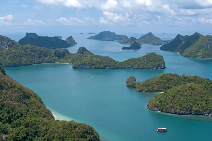
Sights nearby
💡 Tips
- Visit the Pha Daeng red sandstone cliffs in the early morning for the best photographic light.
- Bring snorkeling gear; the waters around Bang Burd Bay are often clear and teeming with small fish.
- Note that this is a secluded fishing village; arriving with your own vehicle or rental is highly recommended.
- Drive or ride along the coastal road heading north for dramatic views of the red cliff formations.
- Try the locally processed seafood, as the community is famous for its traditional drying and preservation methods.
🍽 Food
Fresh blue crabs are a must-try here; ask for the catch of the day at the simple beachfront shacks.
A local specialty often seen drying on racks in the sun outside the village houses.
Try 'Yam Talay' made with incredibly fresh ingredients sourced directly from the local fishing boats.
🛍 Shopping · 🧘 Quiet spots
Buy sun-dried seafood and authentic shrimp paste directly from the local fishing families.
Look for sweet watermelons and pineapples grown in the unique sandy soil of the coastal area.
Find absolute solitude under the towering red cliffs, well away from the village center.
A short hike up gives a silent panorama of the Gulf of Thailand without any crowds.
Water temperature…
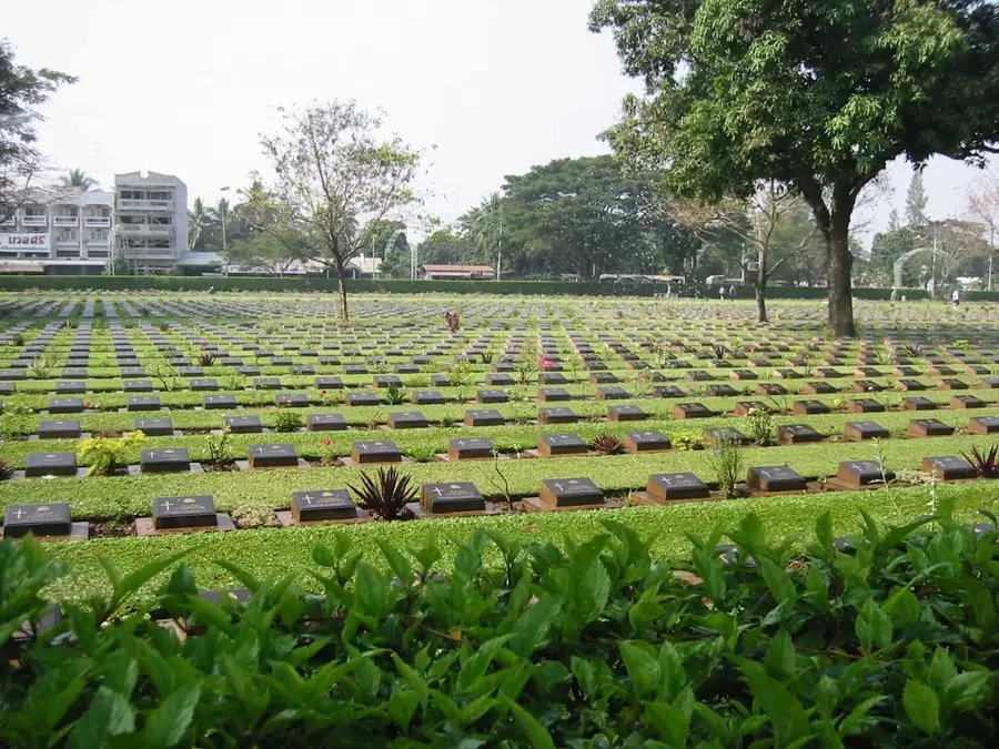
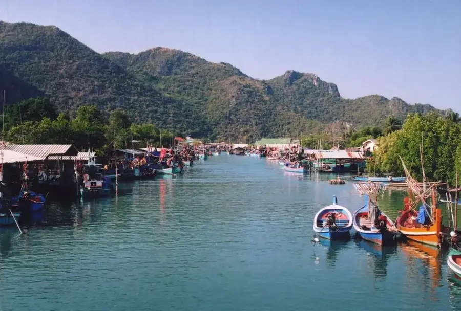
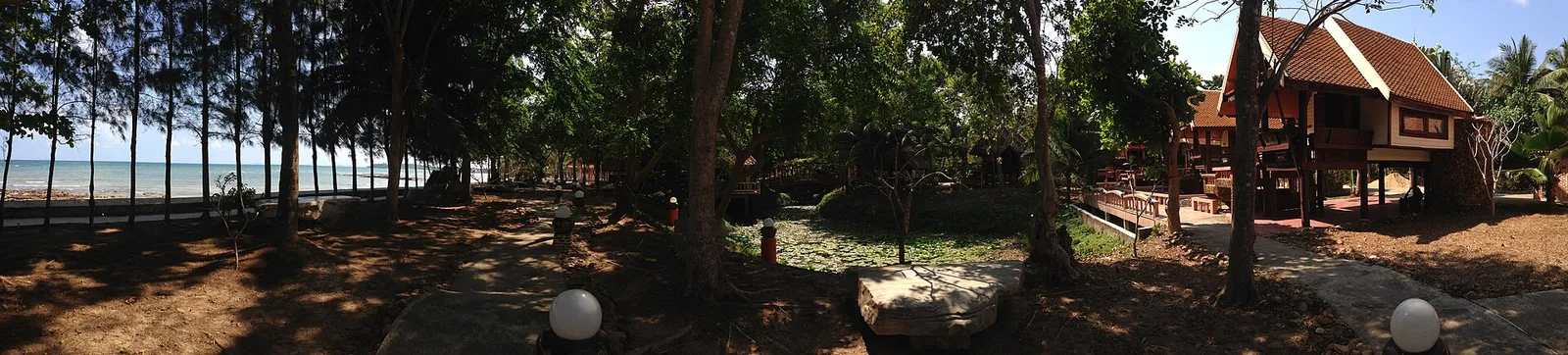
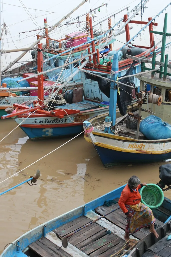
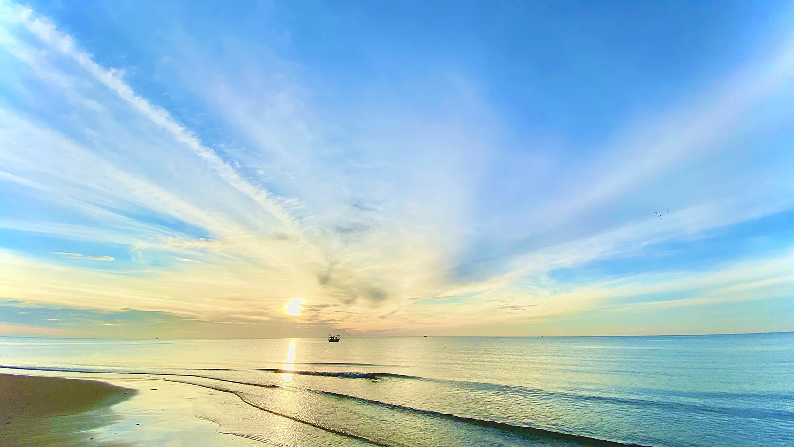
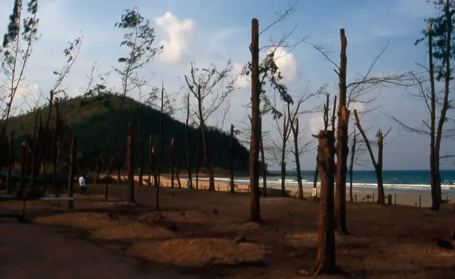
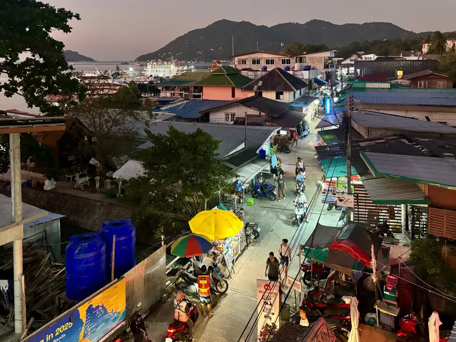
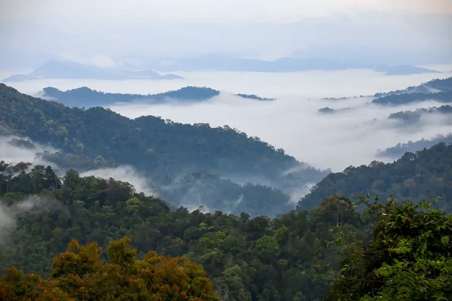
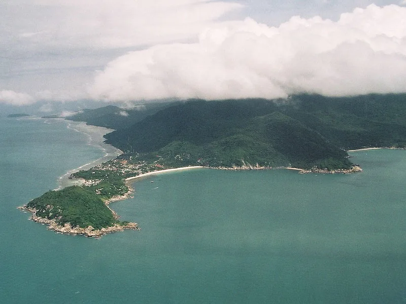
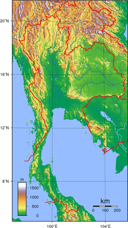
Ban Nam Pu is situated on the scenic border between Prachuap Khiri Khan and Chumphon provinces. The village is the gateway to Bang Burd Bay, a wide bay known for its horseshoe-shaped coastline and spectacular red sandstone cliffs. This region remains largely untouched by major tourism, offering an absolutely authentic experience. The beach near Baan Chaythong Beach Resort provides privacy and peace in a natural setting. The area is historically significant as it was a landing point during WWII. Today, it is a quiet spot for eco-tourism. Visitors can explore the Bang Burd Farm, a Royal Project for sustainable agriculture. The waters are rich in marine life, making Ban Nam Pu a quiet find for snorkelers and fishermen. Access is somewhat adventurous via narrow country roads, but it rewards travelers with lonely vistas and warm local hospitality. Seafood is often sold here directly from small fishing boats.
- Location: Thailand
- Nearby: Bang Saphan (6 km)
Geography
Facts
- Location: Prachuap/Chumphon border
- Bay: Bang Burd Bay
- Resort: Baan Chaythong (Private)
- Geology: Red sandstone cliffs
- Project: Bang Burd Royal Farm
- History: WWII landing site
- Activity: Snorkeling & Fishing
- Tourism: Untouched / Eco
Explore nearby
Notable places around
Route planner — Car & Motorhome
Where do you start? We build the route here, with stops and country notes along the way.
© OpenStreetMap contributors · OpenRouteService
Sights in the town Ban Nam Pu (1)
Frequently asked questions
What does the name Ban Nam Pu mean?
Is it a touristy place?
What can you do there?
How is the local food?
Do you need your own vehicle?
Ban Nam Pu: where is it located?
Ban Nam Pu: why is it worth visiting?

Nearby cities

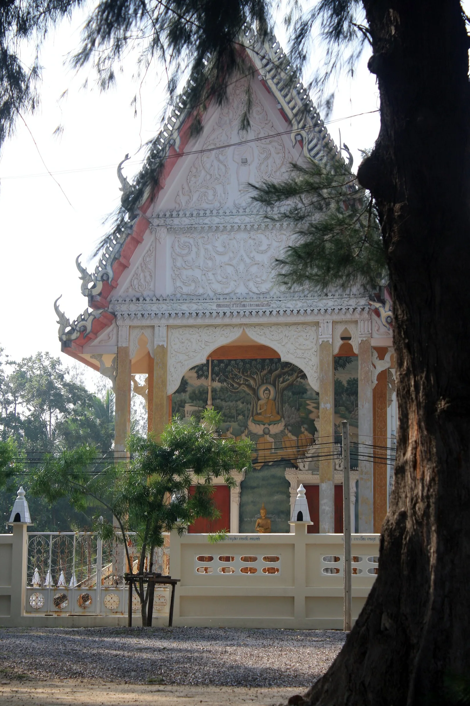

History & landmarks

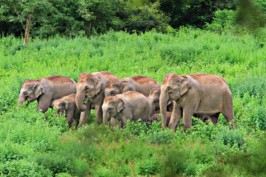
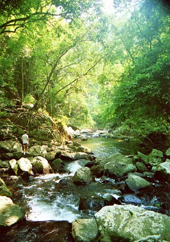
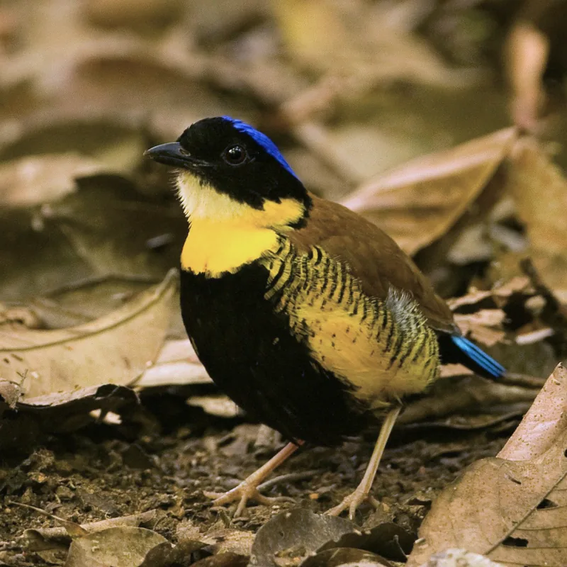
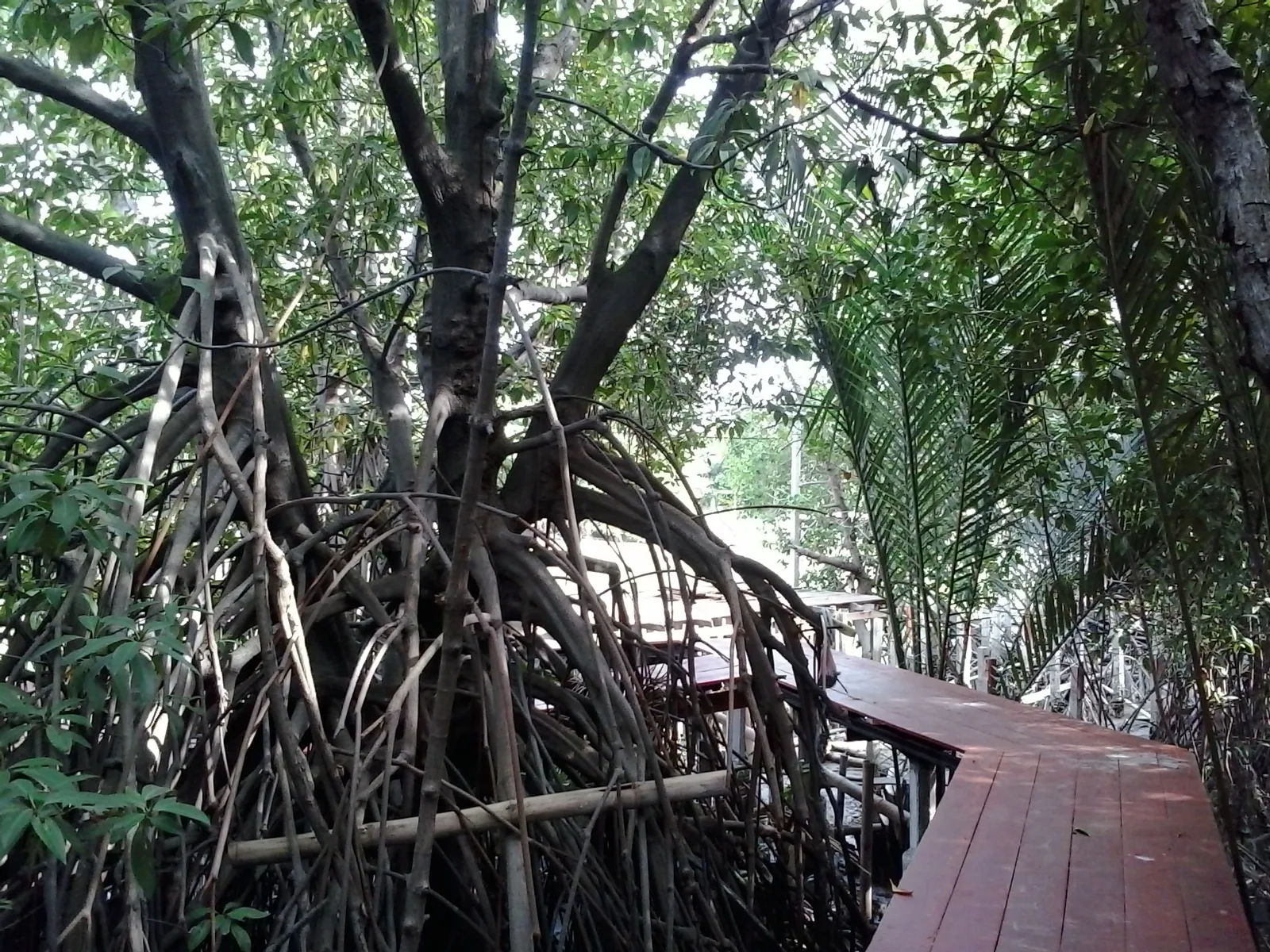
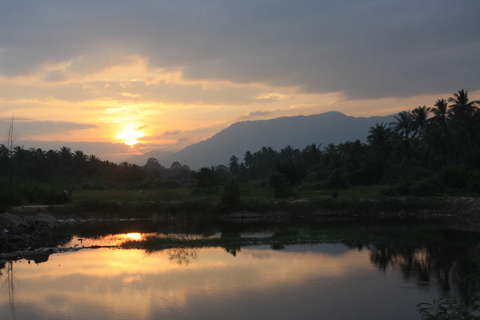
Nature
More places