Plizio Visual Lab
Mu Ko Ang Thong National Marine Park
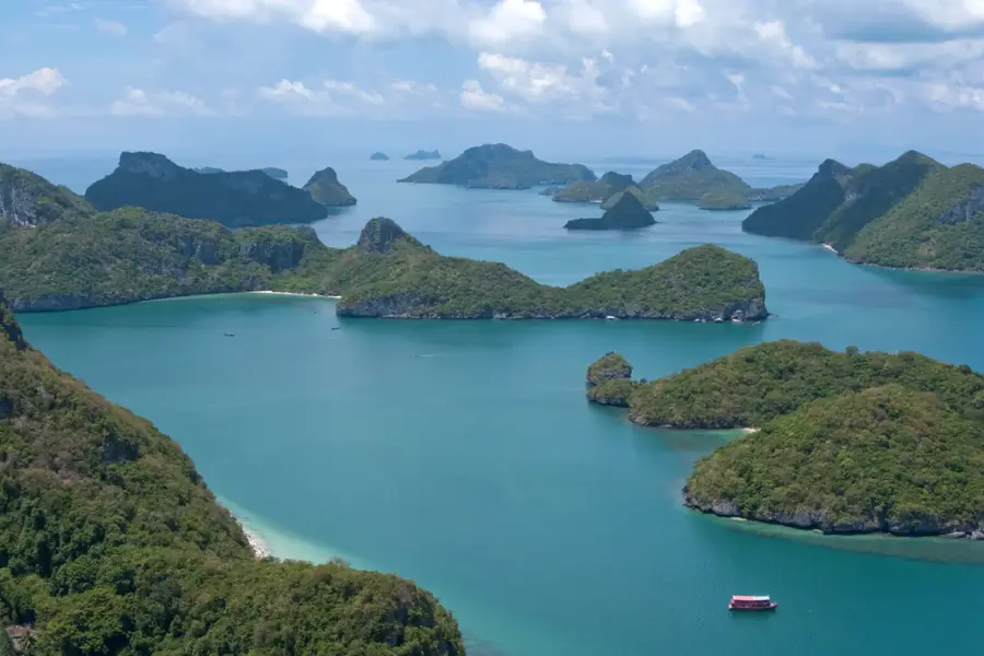
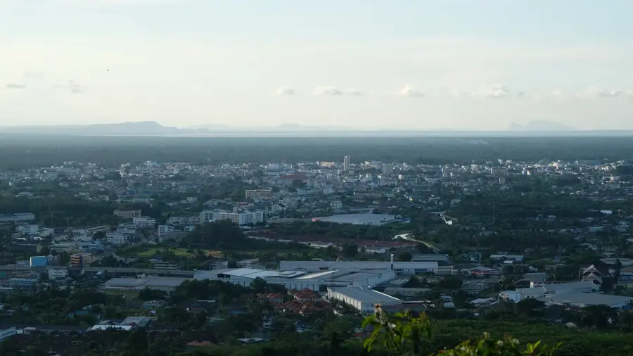
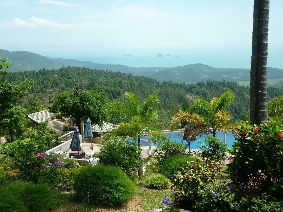
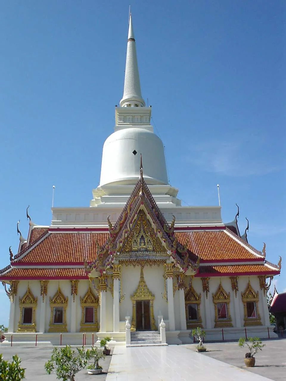
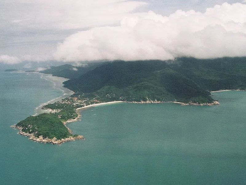
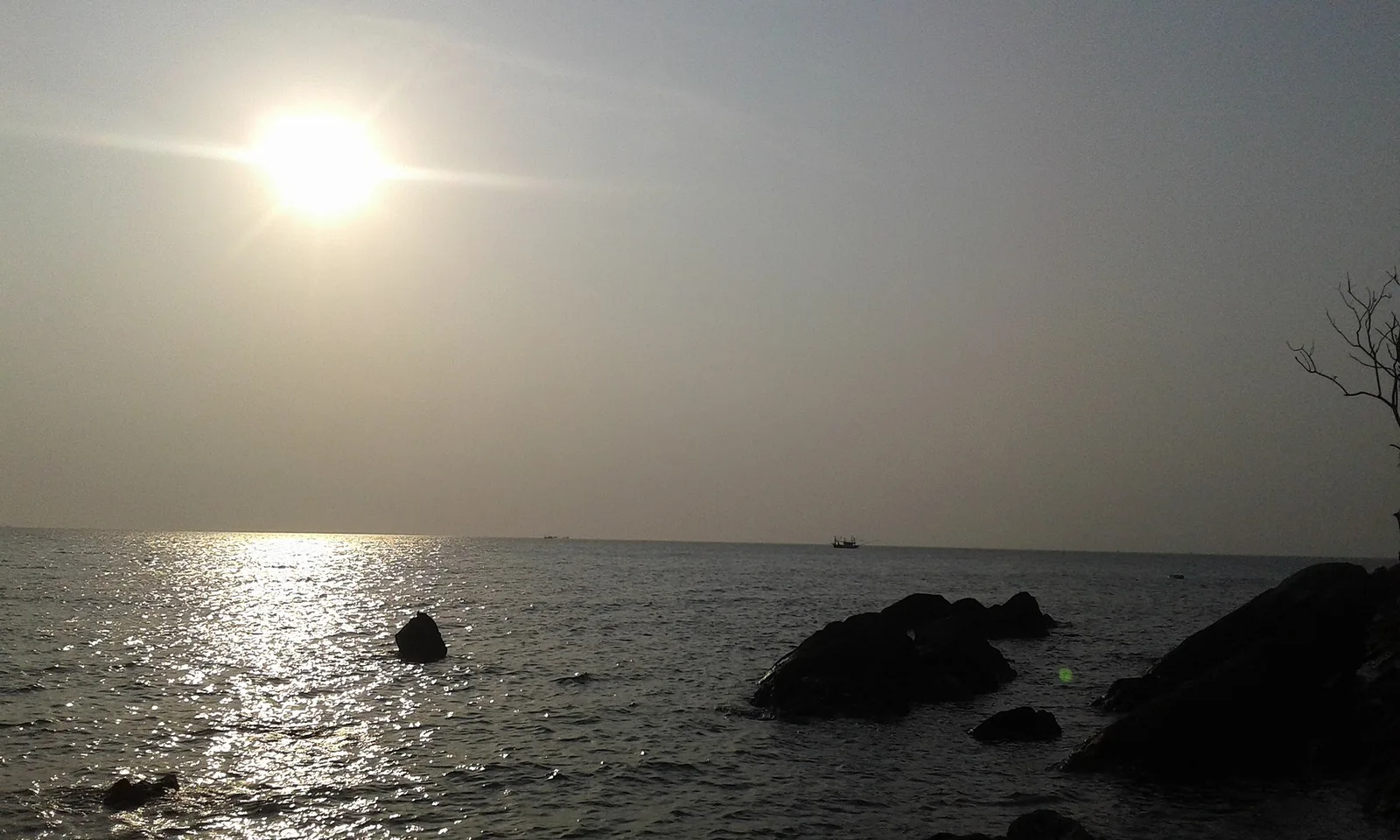
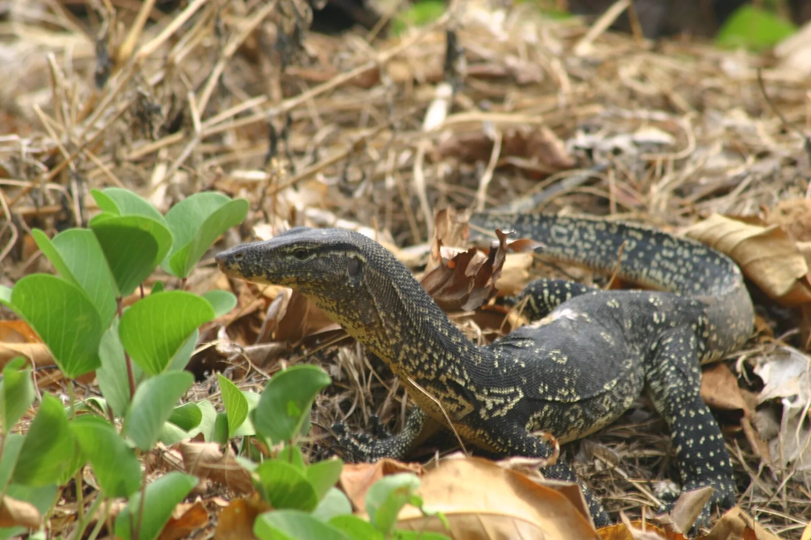
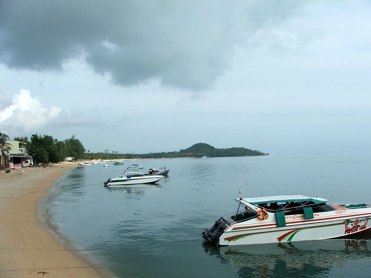
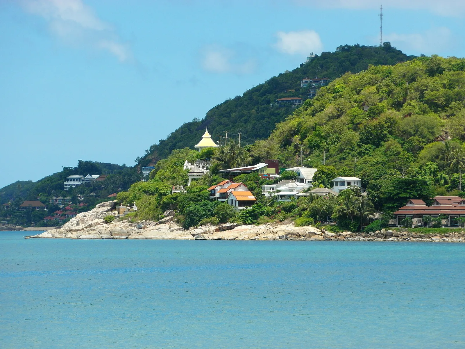
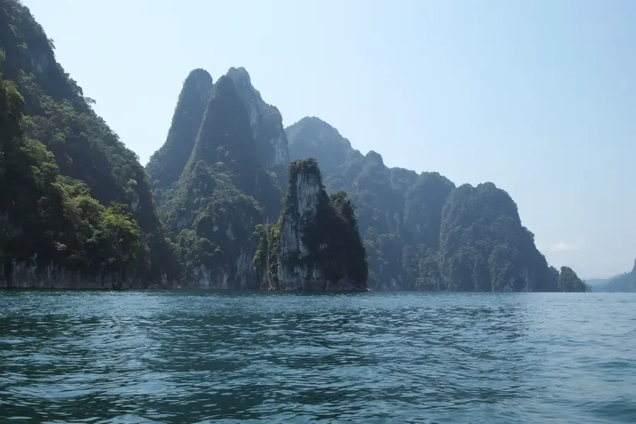
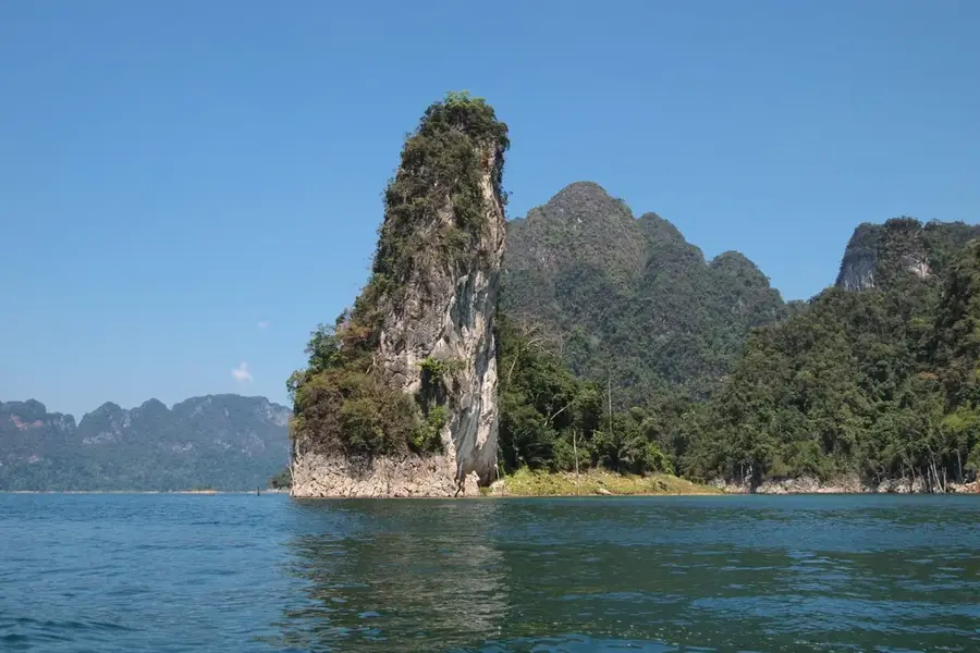
Mu Ko Ang Thong National Marine Park is a remarkable feature of the geography and culture of Thailand. An archipelago of 42 islands in the Gulf of Thailand. It feels like discovering a miniature planetary chain, each island a world of its own with hidden lagoons, like the famous Emerald Lake (Thale Nai). Inspiration for the novel 'The Beach'. Most islands are uninhabited and made of limestone. The 'Emerald Lake' is an inland saltwater lagoon. This natural area reflects the scenic diversity of Thailand, from the Mekong basin to the islands of the Andaman Sea. Like many notable places in Thailand, it combines regional character with the legacy of the Chao Phraya, the Mekong and Buddhist tradition. Thus, this place contributes to the diverse profile of Thailand, between the Andaman coast, rice paddies and tropical forests.
- Location: Thailand
- Top sights: Second resting point · Fifth resting point · Muslim Prayer Room
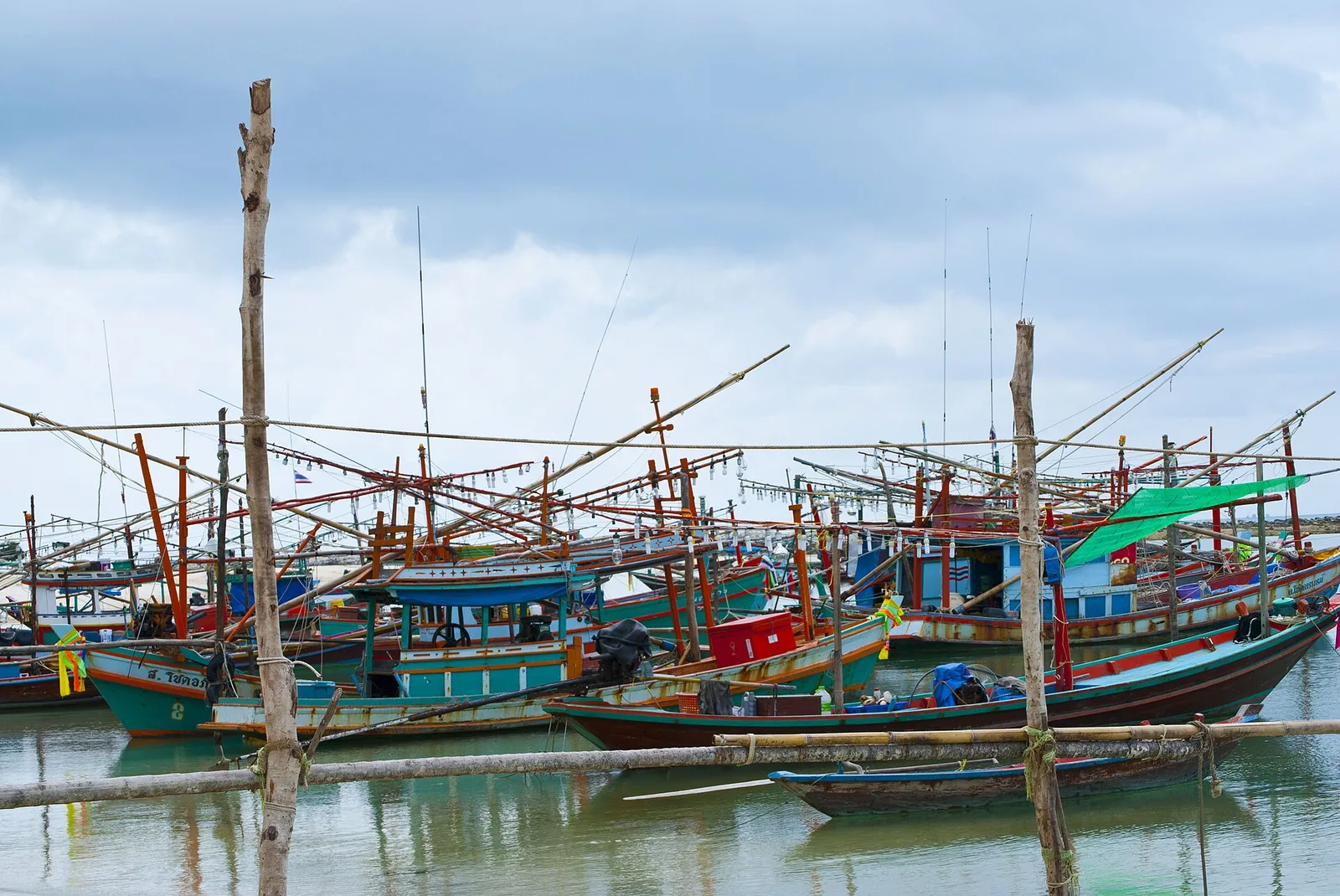
- Nearby: Don Sak (6 km)
Best time to visit & climate
The most pleasant time to visit is Jan–Mar.
| Jan | Feb | Mar | Apr | May | Jun | Jul | Aug | Sep | Oct | Nov | Dec | |
|---|---|---|---|---|---|---|---|---|---|---|---|---|
| Avg °C | 27 | 27 | 28 | 29 | 29 | 28 | 28 | 28 | 27 | 27 | 27 | 27 |
| Rain mm | 103 | 31 | 101 | 99 | 234 | 249 | 263 | 242 | 273 | 270 | 279 | 193 |
📋 Practical info
Geography
Facts
- An archipelago of 42 islands in the Gulf of Thailand. It feels like discovering a miniature planetary chain, each island a world of its own with hidden lagoons, like the famous Emerald Lake (Thale Nai).
- Located within the Kingdom of Thailand.
- Shaped by the monsoon climate of Southeast Asia.
Explore nearby
Notable places around
Route planner — Car & Motorhome
Where do you start? We build the route here, with stops and country notes along the way.
© OpenStreetMap contributors · OpenRouteService
Sights in the town Mu Ko Ang Thong National Marine Park (3)
Sights nearby
Frequently asked questions
How do I reach Mu Ko Ang Thong National Park?
What is the best travel season?
Is the park accessible?
Is snorkeling allowed there?
Do I have to pay an entry fee?
Mu Ko Ang Thong National Marine Park: where is it located?
Mu Ko Ang Thong National Marine Park: what is there to see?
Mu Ko Ang Thong National Marine Park: when is the best time to visit?
Mu Ko Ang Thong National Marine Park: why is it worth visiting?

Nearby cities