Plizio Visual Lab
Dajia River
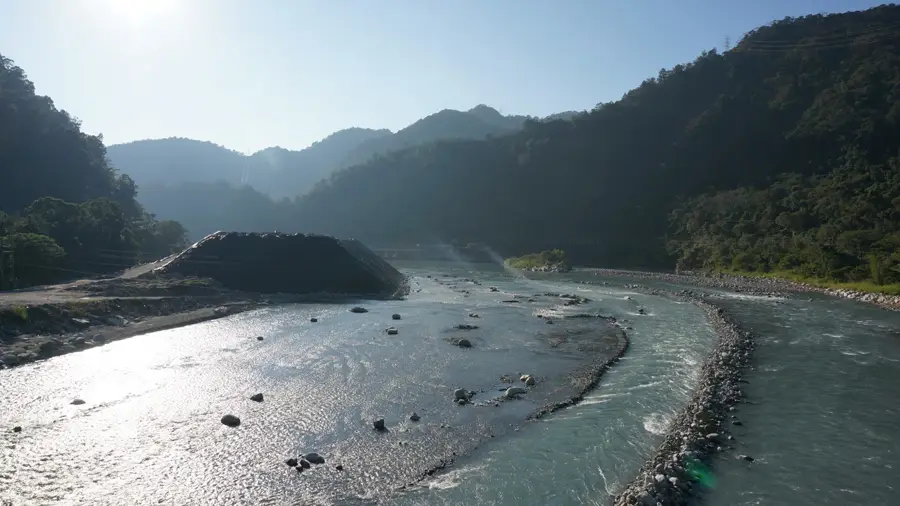
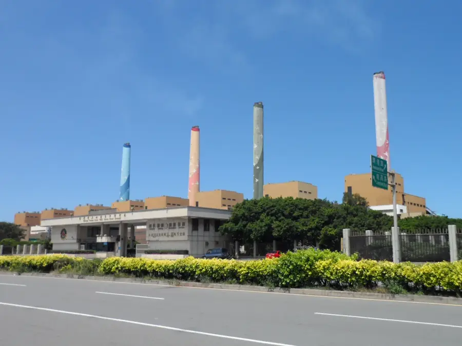
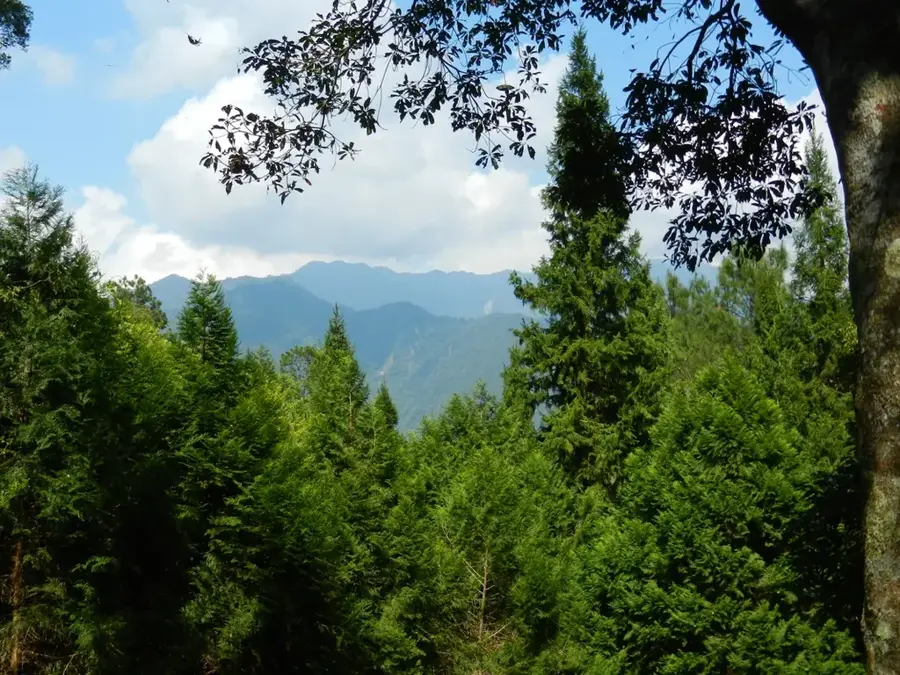
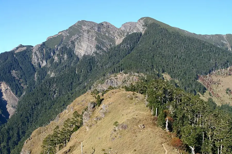
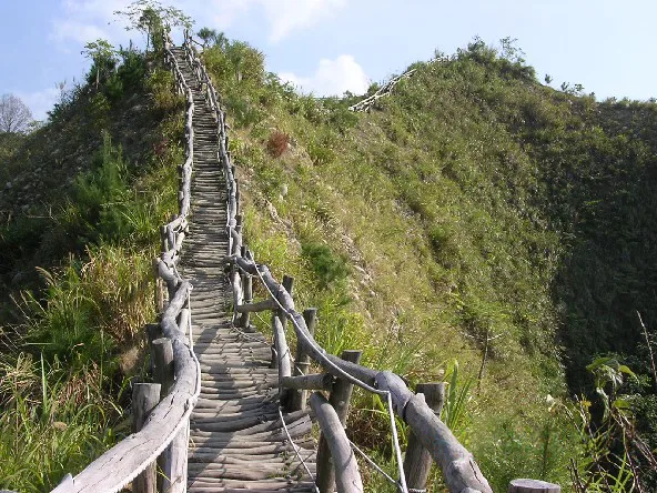
The Dajia River is a vital waterway in central Taiwan, playing a cornerstone role in the region's hydroelectric power generation and water supply. Originating in the Central Mountain Range near the foot of Mt. Xueshan, it flows for 124 kilometers through Taichung County before reaching the Taiwan Strait. Due to its steep gradient, the river is a primary site for hydropower; a series of major dams and power stations, including the Techi Dam and Guguan Power Plant, harness its significant energy potential. Geographically, the river has carved deep valleys and rugged gorges through tectonic uplift and persistent erosion. Its upper reaches, particularly the Qijiawan Creek, serve as the critical sanctuary for the critically endangered Formosan landlocked salmon, a glacial relic species. The river also holds profound cultural importance for the indigenous Atayal people, who have inhabited its banks for centuries. While heavily utilized for infrastructure, ongoing conservation efforts focus on restoring the river's ecological balance and protecting its endemic species. The river's estuary is also recognized as an important wetland for migratory birds.
- Location: Taiwan
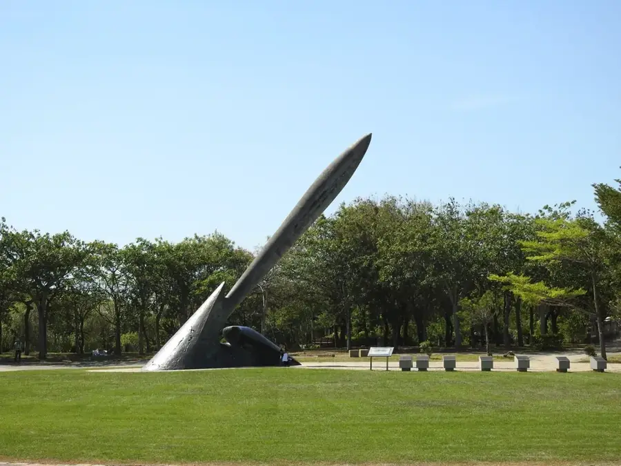
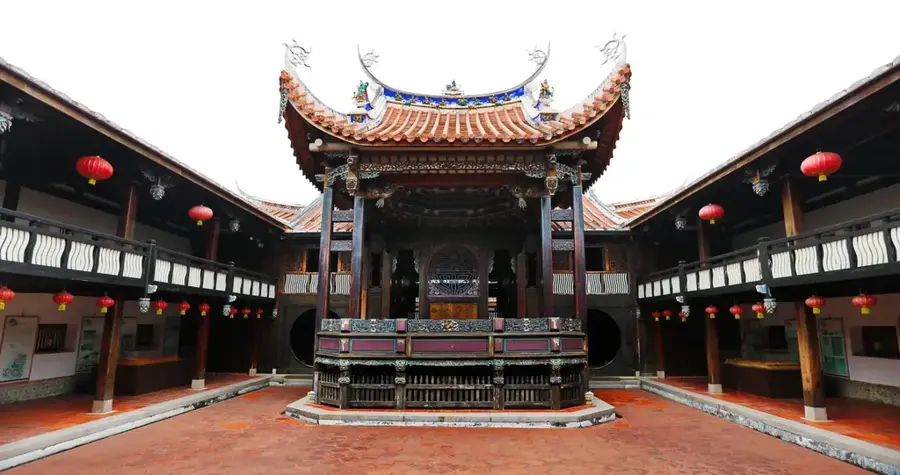
- Top sights: Jianjing · Neishuiweishan · Jenn Lann Temple
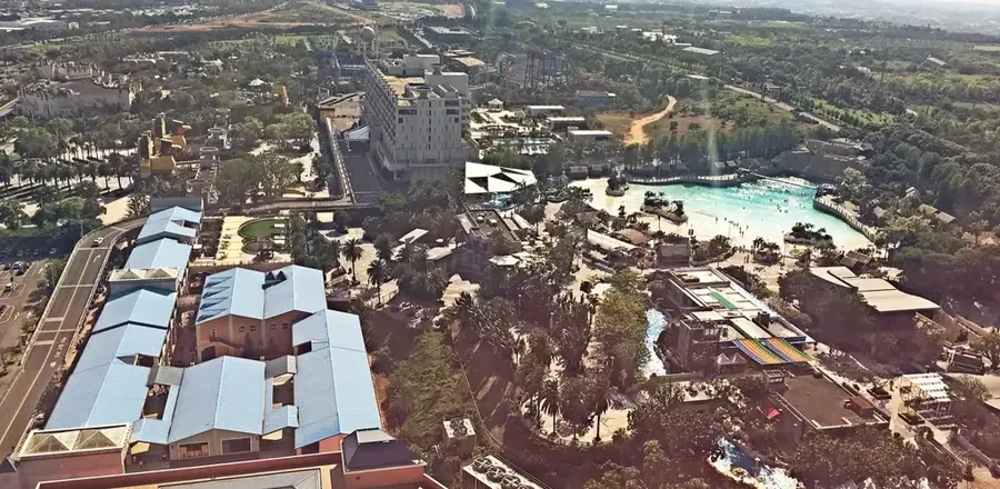
- Nearby: Taichung (10 km)
Best time to visit & climate
The most pleasant time to visit is Oct–Dec.
| Jan | Feb | Mar | Apr | May | Jun | Jul | Aug | Sep | Oct | Nov | Dec | |
|---|---|---|---|---|---|---|---|---|---|---|---|---|
| Avg °C | 16 | 17 | 19 | 22 | 25 | 26 | 27 | 27 | 27 | 24 | 22 | 18 |
| Rain mm | 65 | 61 | 111 | 118 | 219 | 277 | 178 | 285 | 173 | 66 | 62 | 63 |
📋 Practical info
Geography
Facts
- Total length of the river is approximately 124 kilometers.
- Techi Dam is one of the highest concrete arch dams in Asia.
- Home to the endangered Formosan landlocked salmon.
- Produces a significant portion of Taiwan's hydroelectric power.
- Originates at an elevation of nearly 2,880 meters.
- The river basin supports over 2.5 million people's water needs.
Explore nearby
Notable places around
Route planner — Car & Motorhome
Where do you start? We build the route here, with stops and country notes along the way.
© OpenStreetMap contributors · OpenRouteService
Sights in the town Dajia River (4)
Sights nearby
Frequently asked questions
Is the Dajia River suitable for swimming?
What is special about the Dajia River region?
Are there bike paths along the river?
What is the best season for cycling?
Is the area easily accessible?
Dajia River: where is it located?
Dajia River: what is there to see?
Dajia River: when is the best time to visit?
Dajia River: why is it worth visiting?

Nearby cities
History & landmarks

More places