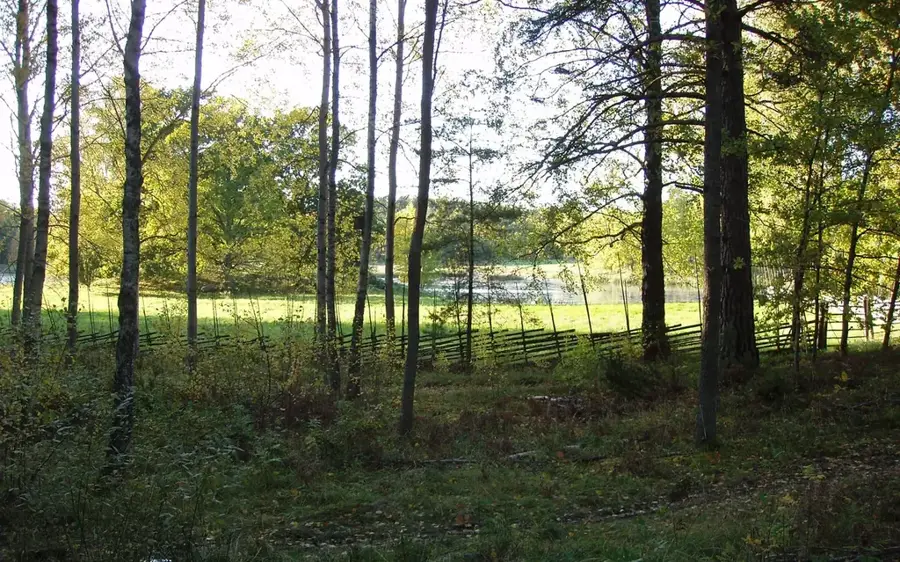
Agnmyrens Naturreservat🌿 nature
Agnmyren Nature Reserve is known for its rich flora and wetlands on the island of Sollerön.
Plizio Visual Lab
Weather…
Water temperature…
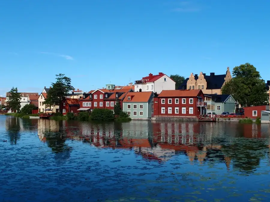
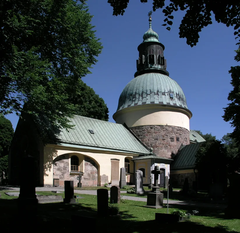
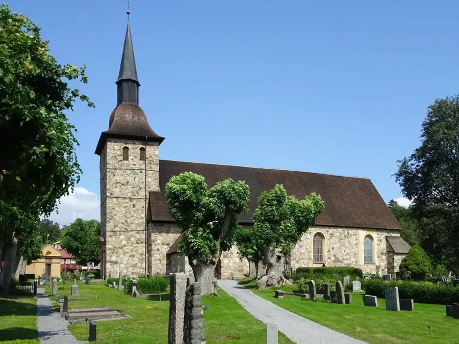
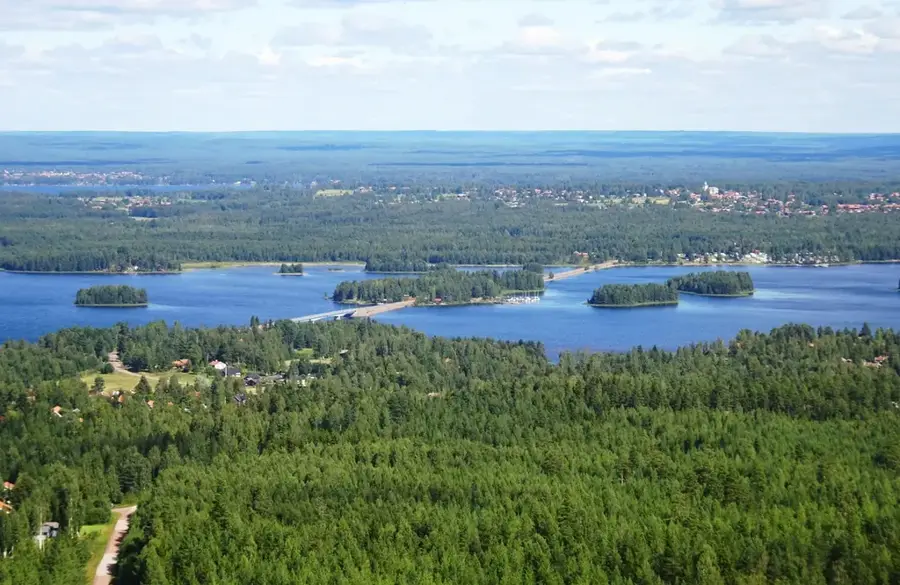
Sollerön is the largest island in Lake Siljan, located in the province of Dalarna, and is regarded as one of Sweden's most significant archaeological centers. The island spans approximately 7.7 kilometers in length and 4 kilometers in width, characterized by its fertile farmland and dense forests. Historically, it held a strategic position during the Viking Age, a fact scientifically proven by the discovery of over 150 graves in the fields of Klikten and Bengtsarvet. Settlement on the island can be traced back to the Iron Age, making it a valuable witness to Northern European settlement history. For centuries, the inhabitants sustained themselves through a combination of agriculture, animal husbandry, and fishing in the productive waters of Lake Siljan. The architectural centerpiece is the Sollerön Church, consecrated in 1775, which was built on a height and remains visible from afar. Today, the island is connected to the mainland by a bridge and serves as an important center for the preservation of Dalecarlian traditions and local craftsmanship.
The most pleasant time to visit is Jun–Aug.
| Jan | Feb | Mar | Apr | May | Jun | Jul | Aug | Sep | Oct | Nov | Dec | |
|---|---|---|---|---|---|---|---|---|---|---|---|---|
| Avg °C | -7 | -6 | -3 | 3 | 9 | 13 | 16 | 14 | 10 | 3 | -1 | -6 |
| Rain mm | 56 | 43 | 46 | 47 | 95 | 105 | 114 | 118 | 74 | 77 | 68 | 56 |
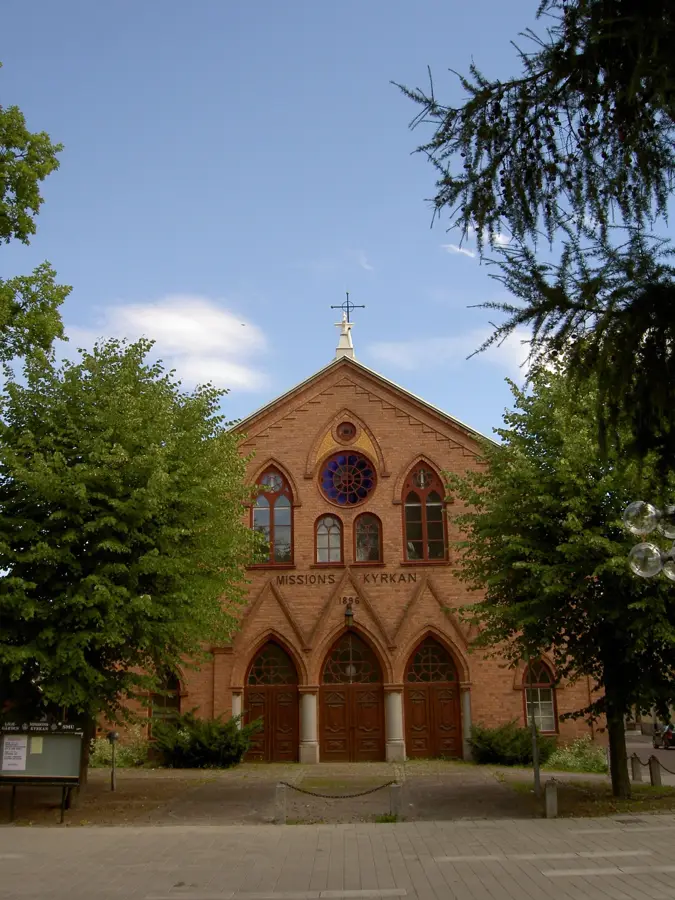
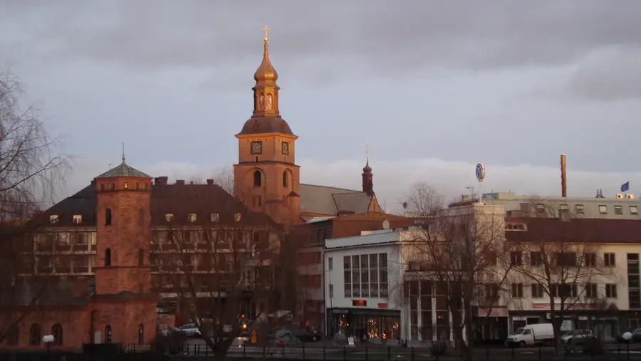
Notable places around
Where do you start? We build the route here, with stops and country notes along the way.
© OpenStreetMap contributors · OpenRouteService
Agnmyren Nature Reserve is known for its rich flora and wetlands on the island of Sollerön.