Plizio Visual Lab
Skellefte River
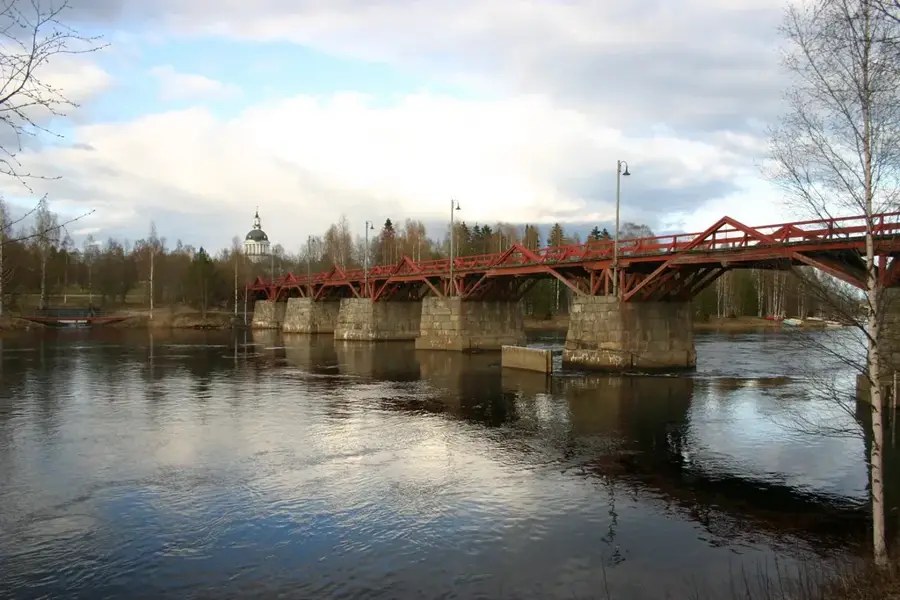
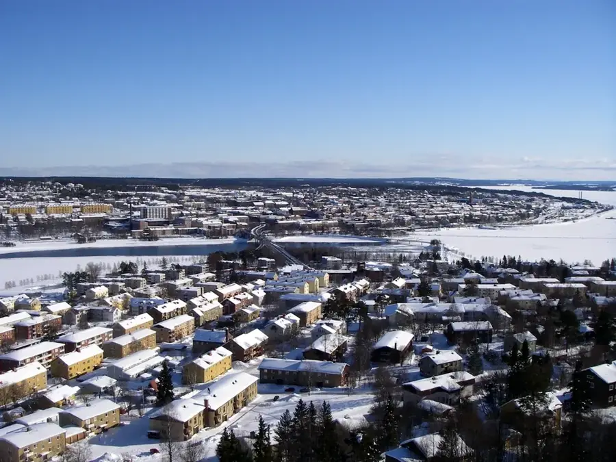
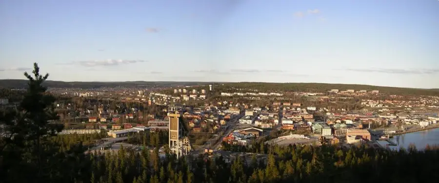
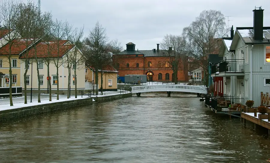
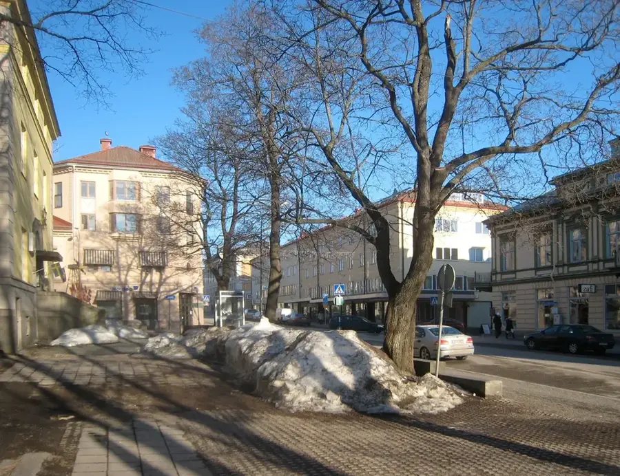
The Skellefte River (Skellefteälven) is one of the primary rivers in northern Sweden, stretching approximately 410 kilometers from the Scandinavian Mountains to the Gulf of Bothnia. It originates from the large lakes of Hornavan, Uddjaure, and Storavan near the Norwegian border. Historically, the river served as a crucial route for timber floating, which was fundamental to the economic growth of Skellefteå and its surrounding region. Today, the river is heavily developed for hydroelectric power, featuring over 15 power stations along its course that generate a significant portion of Sweden's renewable energy. Despite its industrial importance, the Skellefte River gives diverse recreational opportunities, particularly salmon and trout fishing in its less regulated reaches. The riparian landscape transitions from dense boreal forests to agricultural plains near the coast, establishing the river as a defining feature of the northern Swedish geography.
- Location: Sweden
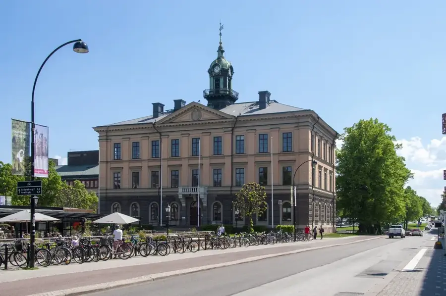
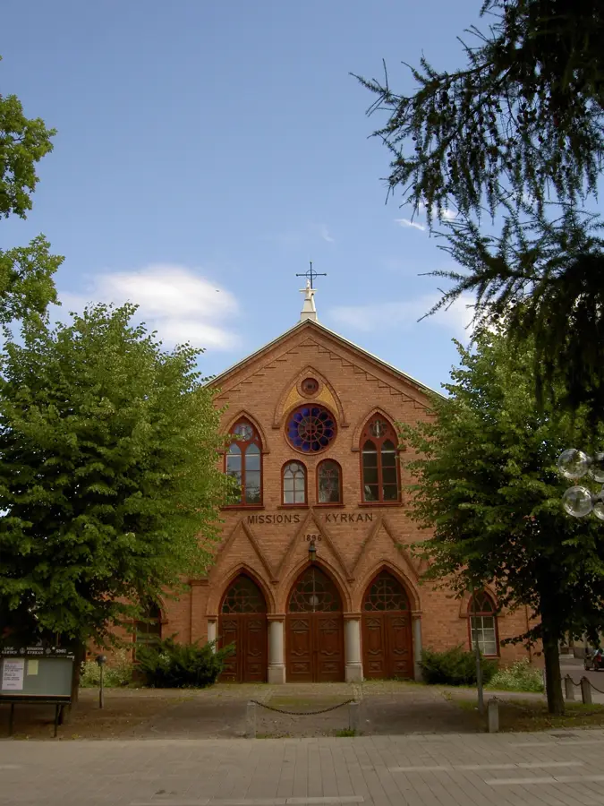
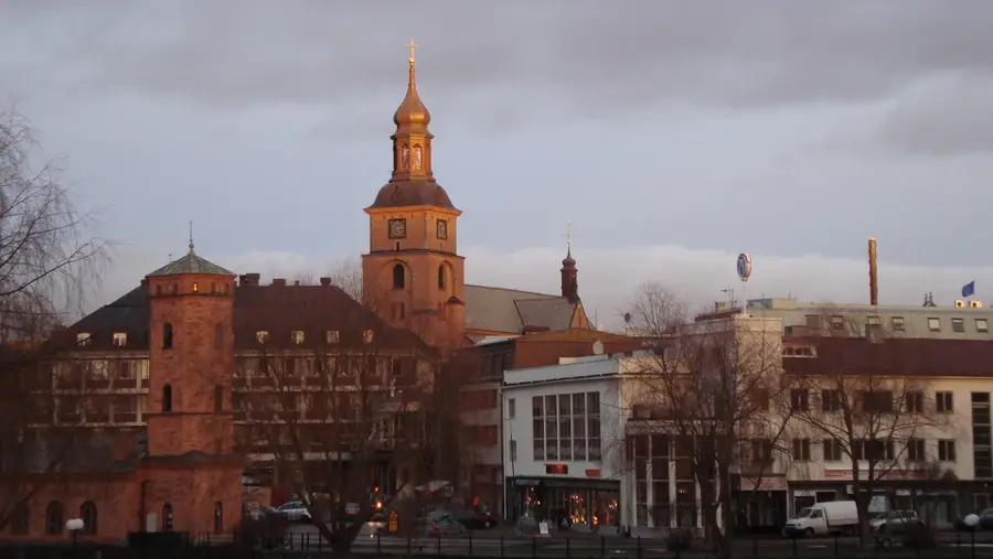
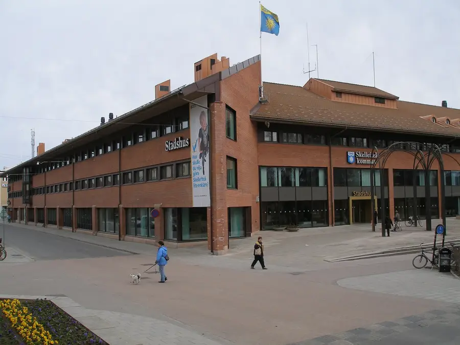
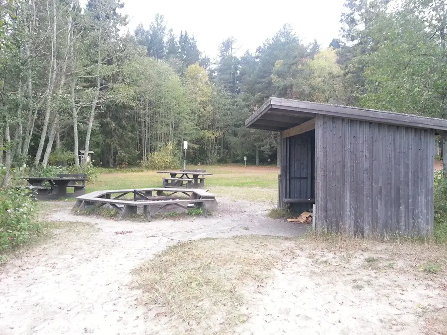
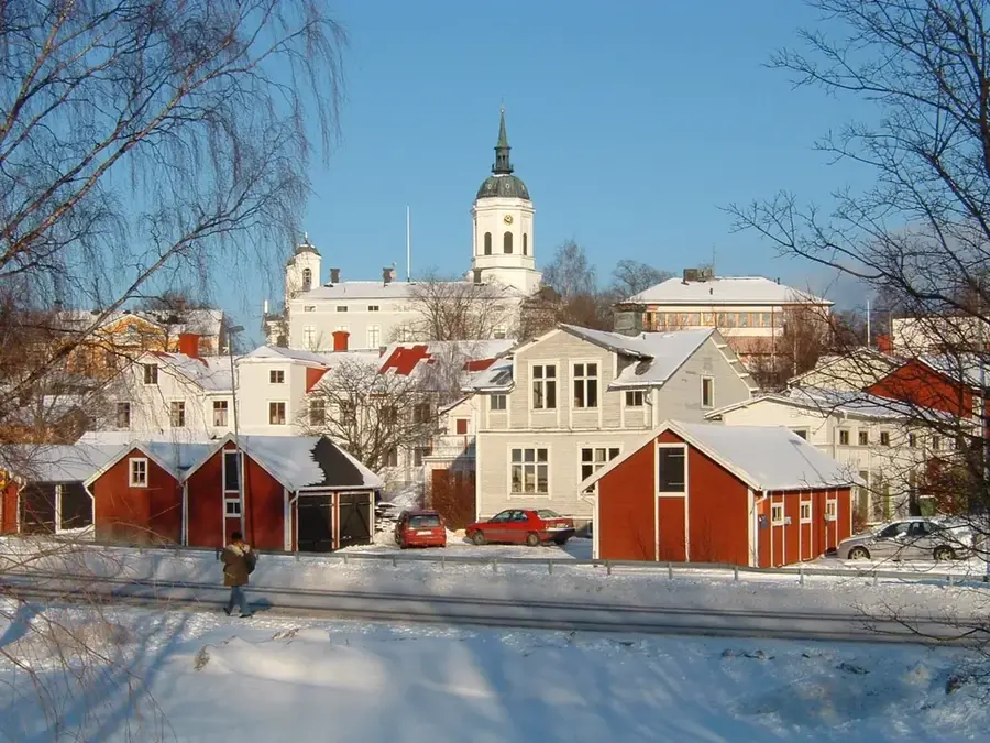
- Top sights: Örviken ställplats · Forum Museum Rönnskär · Ursvikens kyrka
- Nearby: Bureå (7 km)
Best time to visit & climate
The most pleasant time to visit is Jun–Aug.
| Jan | Feb | Mar | Apr | May | Jun | Jul | Aug | Sep | Oct | Nov | Dec | |
|---|---|---|---|---|---|---|---|---|---|---|---|---|
| Avg °C | -6 | -7 | -4 | 1 | 6 | 12 | 16 | 15 | 10 | 4 | 0 | -3 |
| Rain mm | 53 | 40 | 39 | 42 | 55 | 56 | 78 | 78 | 75 | 71 | 62 | 64 |
📋 Practical info
Geography
Facts
- Total length of the river is approximately 410 kilometers.
- Originates in the mountains near the border with Norway.
- Drainage basin covers an area of roughly 11,731 square kilometers.
- More than 15 hydroelectric power plants are situated along the river.
- Empties into the Gulf of Bothnia at Skelleftehamn.
- Crucial waterway for the historic timber industry in northern Sweden.
Explore nearby
Notable places around
Route planner — Car & Motorhome
Where do you start? We build the route here, with stops and country notes along the way.
© OpenStreetMap contributors · OpenRouteService
Sights in the town Skellefte River (6)
Sights nearby
Frequently asked questions
Where does the Skellefteälven empty?
Are there gold deposits there?
Can you fish in the river?
How many power plants are on the river?
What water activities are available?
Skellefte River: where is it located?
Skellefte River: what is there to see?
Skellefte River: when is the best time to visit?
Skellefte River: why is it worth visiting?

Nearby cities