Plizio Visual Lab
Dalälven

Weather…
Water temperature…
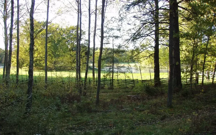
Dalälven is one of central Sweden's most significant rivers, spanning approximately 520 kilometers and traditionally serving as the dividing line between the regions of Svealand and Norrland. The river is formed by the merging of Österdalälven and Västerdalälven at Djurås, eventually emptying into the Gulf of Bothnia at Skutskär. Its course showcases a wide array of environments, from turbulent rapids in the uplands to broad, lake-like stretches in the lower reaches, notably within the Färnebofjärden National Park. Historically, Dalälven was a critical artery for the timber floating industry, moving wood from the inland forests of Dalarna to coastal sawmills. Today, the river is a powerhouse for hydroelectric production, with multiple dams operating along its length. It is also a premier destination for recreational fishing, particularly renowned for its salmon and sea trout near the mouth. The river's lower basin is an ecological hotspot, providing essential nesting grounds for a variety of rare bird species.
- Location: Sweden
- Nearby: Falun (23 km)
Best time to visit & climate
The most pleasant time to visit is Jun–Aug.
| Jan | Feb | Mar | Apr | May | Jun | Jul | Aug | Sep | Oct | Nov | Dec | |
|---|---|---|---|---|---|---|---|---|---|---|---|---|
| Avg °C | -6 | -5 | -1 | 5 | 10 | 14 | 17 | 16 | 11 | 5 | 0 | -4 |
| Rain mm | 48 | 40 | 40 | 43 | 74 | 93 | 98 | 94 | 59 | 74 | 61 | 53 |
📋 Practical info
Geography
Facts
- Total length of approximately 520 kilometers.
- Drainage basin covers about 28,950 km².
- Empties into the Baltic Sea at Skutskär.
- Flows through Färnebofjärden National Park.
- Historical main route for Swedish timber floating.
- Home to numerous hydroelectric power stations.
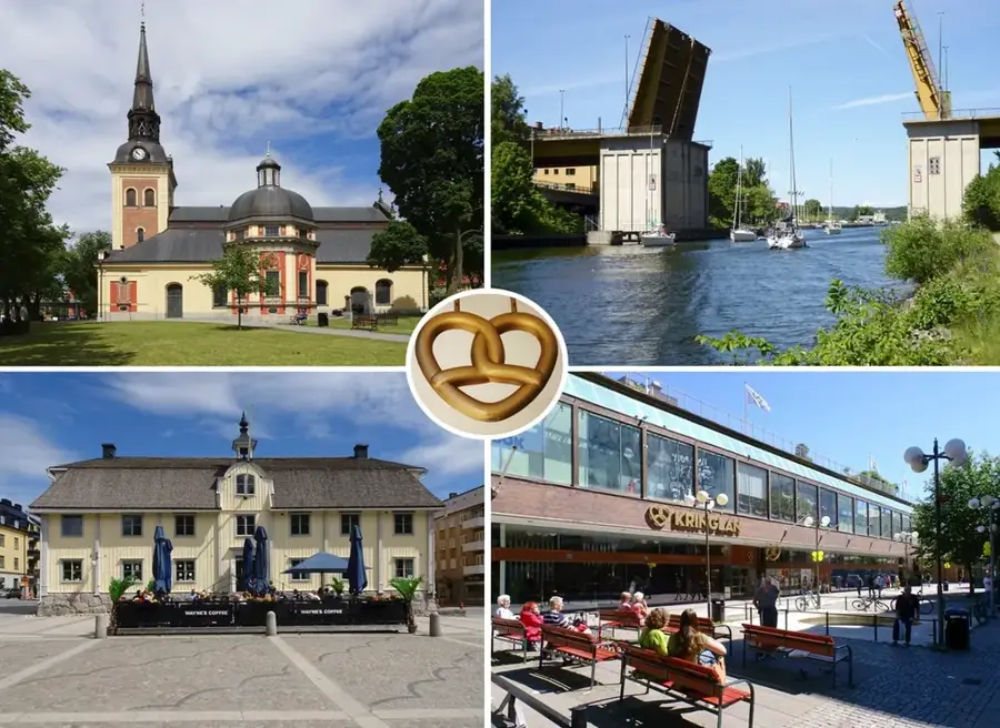
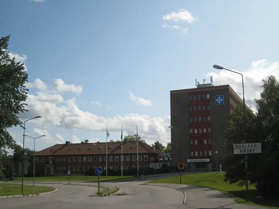
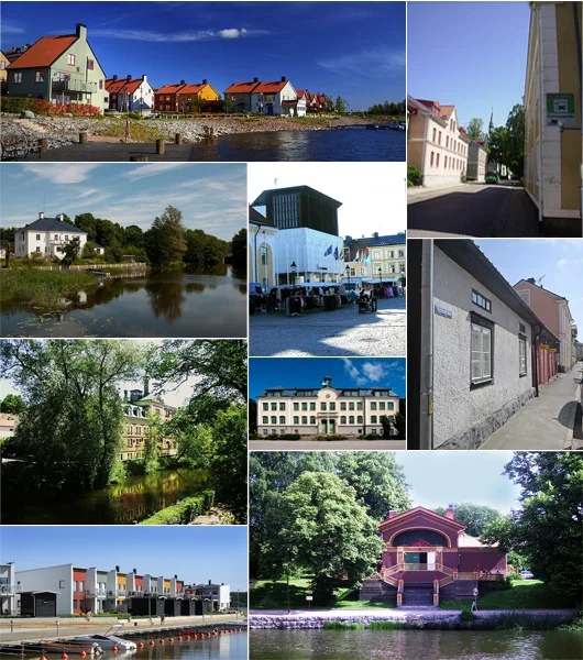
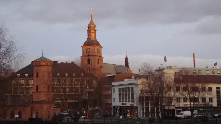
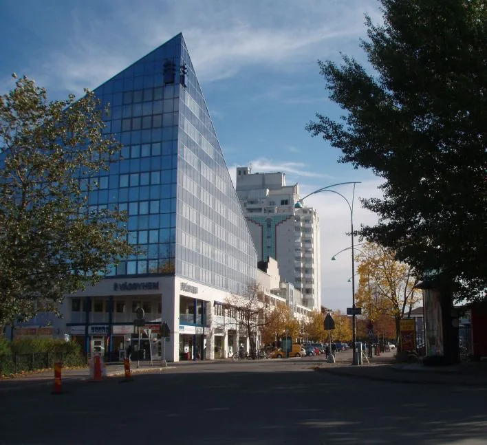
Explore nearby
Notable places around
Route planner — Car & Motorhome
Where do you start? We build the route here, with stops and country notes along the way.
© OpenStreetMap contributors · OpenRouteService
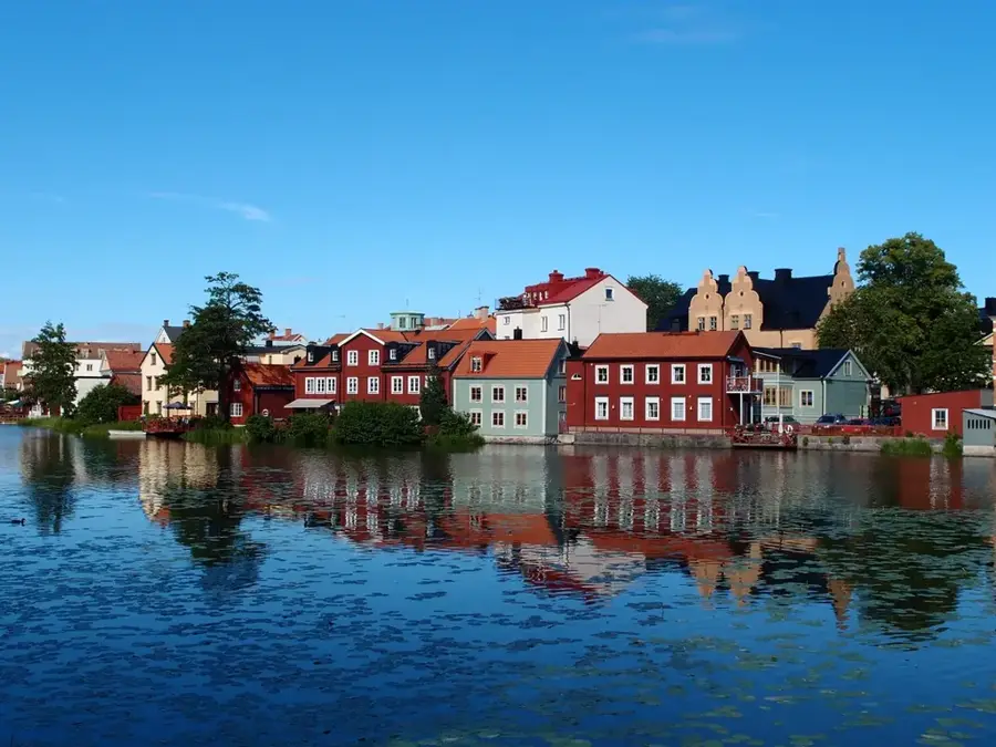
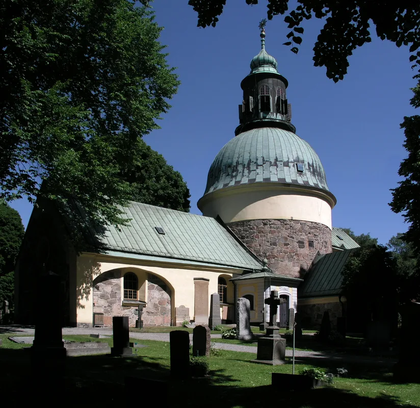
Sights in the town Dalälven (1)
Sights nearby
Frequently asked questions
Into which two parts does the Dalälven split?
Is there a national park on the river?
What does 'Limes Norrlandicus' mean?
Can you go canoeing on the river?
Are there hydroelectric power plants?
Dalälven: where is it located?
Dalälven: when is the best time to visit?
Dalälven: why is it worth visiting?

Nearby cities