Plizio Visual Lab
Sierra de Gata
Weather…
Water temperature…
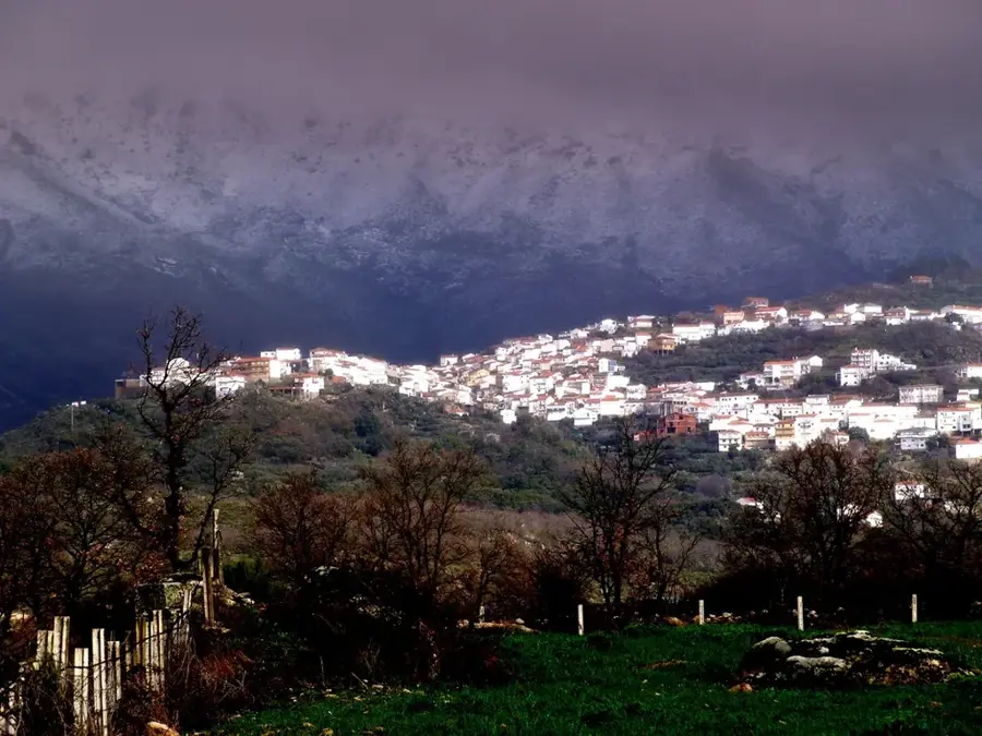
The Sierra de Gata is located in the northwestern part of Cáceres province along the border with Portugal, forming the westernmost portion of Spain's Central System. Geologically, the range is composed of granite and slate, creating a landscape of rolling hills and rugged outcrops. The area is known for its exceptional biodiversity, featuring dense forests of oak, chestnut, and pine, as well as numerous streams and natural swimming pools. A unique cultural feature of the region is 'Fala,' a Romance language variety spoken in villages like San Martín de Trevejo. The climate is influenced by both Mediterranean and Atlantic systems, resulting in mild temperatures and adequate rainfall. The local economy has traditionally centered on agriculture, particularly the production of high-quality olive oil from the Manzanilla Cacereña variety. Due to its historical isolation, the Sierra de Gata has preserved its authentic character and traditional stone architecture.
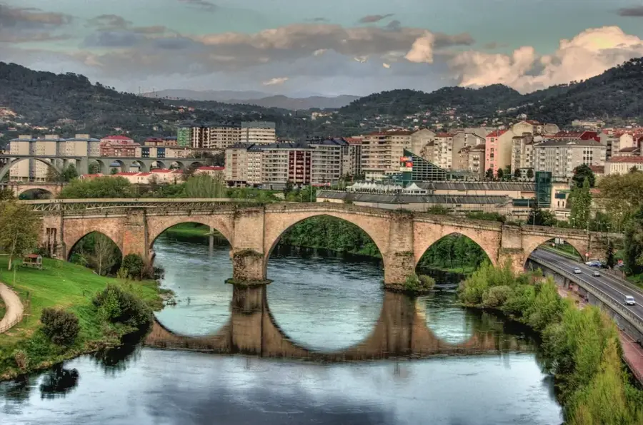
- Location: Galicia, Spain
- Top sights: Mirador de la Sierra · Piscina municipal de Gata · Piscinas Naturales La Huerta
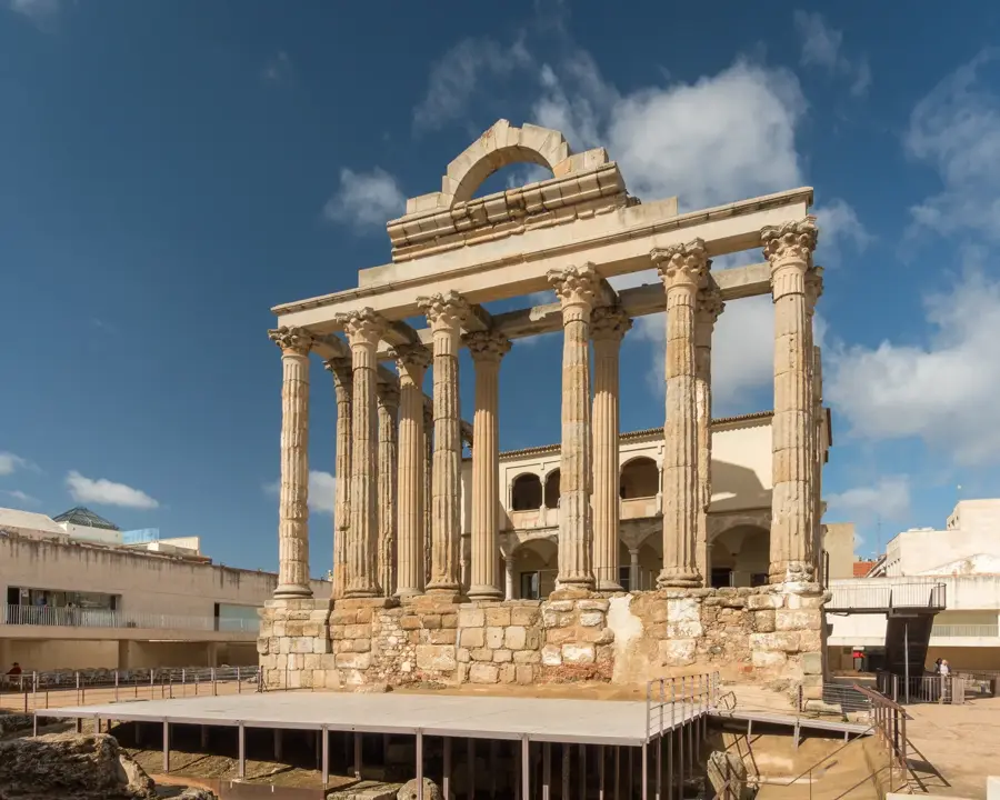
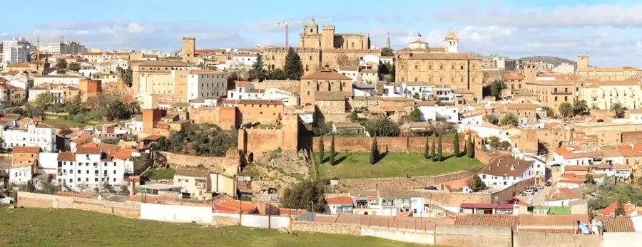
- Nearby: Coria (29 km)
Best time to visit & climate
The most pleasant time to visit is May, Jun, Sep.
| Jan | Feb | Mar | Apr | May | Jun | Jul | Aug | Sep | Oct | Nov | Dec | |
|---|---|---|---|---|---|---|---|---|---|---|---|---|
| Avg °C | 6 | 7 | 10 | 13 | 18 | 24 | 27 | 27 | 23 | 17 | 10 | 7 |
| Rain mm | 61 | 57 | 70 | 61 | 41 | 16 | 5 | 9 | 31 | 93 | 81 | 65 |
📋 Practical info
Geography
Facts
- The highest point in the range is Pico Jálama at 1,492 meters.
- The Fala language is spoken by approximately 6,000 local residents.
- Olive oil from Gata holds its own Protected Designation of Origin (PDO).
- The Sierra de Gata is a nesting site for cinereous vultures and black storks.
- The Castle of Trevejo is a significant medieval ruin in the region.
- The mountain range covers an area of roughly 1,200 square kilometers.
Explore nearby
Notable places around
Route planner — Car & Motorhome
Where do you start? We build the route here, with stops and country notes along the way.
© OpenStreetMap contributors · OpenRouteService
Sights in the town Sierra de Gata (3)
Sights nearby
Frequently asked questions
Where is Sierra de Gata located?
What is the 'A Fala' language?
Which villages are protected as historical-artistic sites?
Are there natural swimming pools?
What is the most famous product of the region?
Sierra de Gata: where is it located?
Sierra de Gata: what is there to see?
Sierra de Gata: when is the best time to visit?
Sierra de Gata: why is it worth visiting?

Nearby cities

History & landmarks