Plizio Visual Lab
Panyijar

ℹ️Practical info — Panyijar
▾
🌤 Weather — 5 days
📍 Nearby
Sights nearby
💡 Tips
- Arrange a boat trip through the Sudd swamp to spot the rare and prehistoric-looking Shoebill Stork.
- Use heavy-duty insect repellent and sleep under a net; the swamp environment is a high-risk malaria zone.
- Plan your visit during the dry season (December-March) as flooding makes the area nearly inaccessible in other months.
- Travel with a local guide who can navigate the shifting vegetation 'islands' of the swamp channels.
- Bring all essential supplies and power banks, as there is no electricity grid in the region.
🍽 Food
Caught fresh from the swamp and often prepared over an open fire.
A local specialty, dried in the sun for preservation.
Sorghum is the staple food and is usually served as a thick porridge.
🛍 Shopping · 🧘 Quiet spots
Hand-woven mats made from swamp papyrus fibers are typical of Panyijar.
Locally crafted nets and traps are testament to the fishing culture.
Observe the silence at the edges of the water bodies at dawn.
A silent trip by dugout canoe through the reed beds is very meditative.
Find a shady spot by the permanent water channels away from the settlements.
Water temperature…
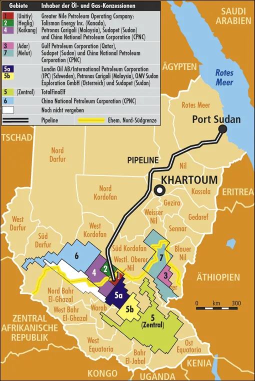
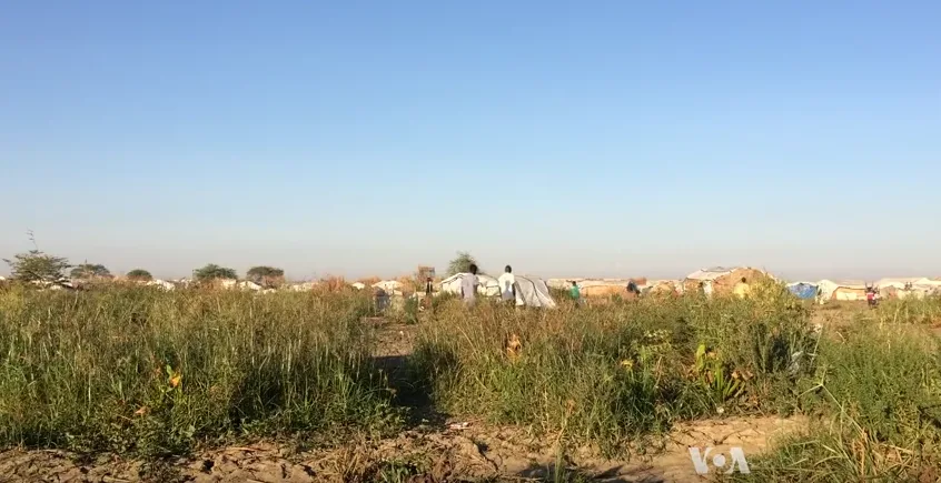
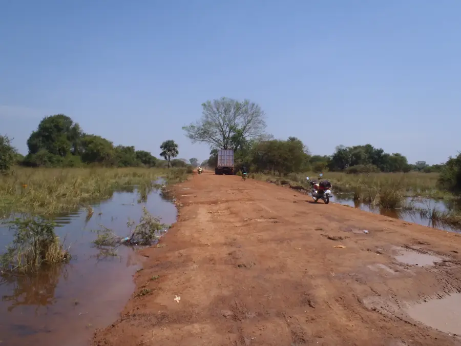
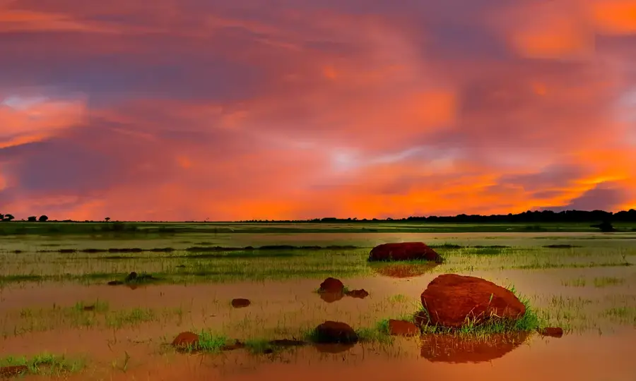
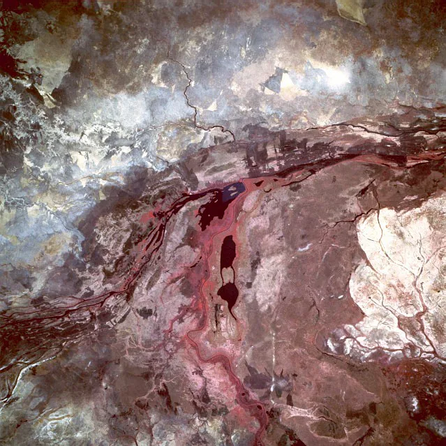
Panyijar is situated in the southern part of Unity State, South Sudan, serving as a critical administrative and cultural hub within the vast Sudd wetlands. The region is predominantly inhabited by the Nuer people, whose traditional way of life is intrinsically linked to seasonal cattle migration and fishing along the White Nile's tributaries. Geographically, the area is characterized by its extremely flat topography, which leads to extensive flooding during the rainy season from May to October, frequently isolating the town from neighboring regions. Historically, Panyijar acted as a strategic sanctuary during the Sudanese civil wars and remains a pivotal center for international humanitarian relief efforts today. The local economy is built on subsistence agriculture, where the cultivation of sorghum and maize is supported by fertile but challenging alluvial soils. Due to the difficult terrain, infrastructure development is limited, making air transport and traditional watercraft the primary means of movement during much of the year.
- Location: South Sudan
- Nearby: Ganyliel (19 km)
Best time to visit & climate
The most pleasant time to visit is Jan, Nov, Dec.
| Jan | Feb | Mar | Apr | May | Jun | Jul | Aug | Sep | Oct | Nov | Dec | |
|---|---|---|---|---|---|---|---|---|---|---|---|---|
| Avg °C | 29 | 31 | 33 | 32 | 29 | 28 | 27 | 26 | 27 | 28 | 29 | 29 |
| Rain mm | 1 | 2 | 17 | 47 | 110 | 138 | 136 | 166 | 131 | 109 | 16 | 10 |
Geography
Facts
- Panyijar serves as the headquarters of Panyijar County in Unity State.
- It is located deep within the Sudd, the largest freshwater wetland in the Nile Basin.
- The town relies heavily on small airstrips for essential supplies during flood seasons.
- The Nuer ethnic group forms the vast majority of the local population.
- Sorghum cultivation is the primary agricultural activity in the surrounding plains.
- The region experienced unprecedented flood levels between 2021 and 2023.
Explore nearby
Notable places around
Route planner — Car & Motorhome
Where do you start? We build the route here, with stops and country notes along the way.
© OpenStreetMap contributors · OpenRouteService
Frequently asked questions
What characterizes Panyijar?
How to reach the place?
What is the climate there?
What should I keep in mind when traveling?
What is special about the region?
Panyijar: where is it located?
Panyijar: when is the best time to visit?
Panyijar: why is it worth visiting?

Nearby cities

History & landmarks

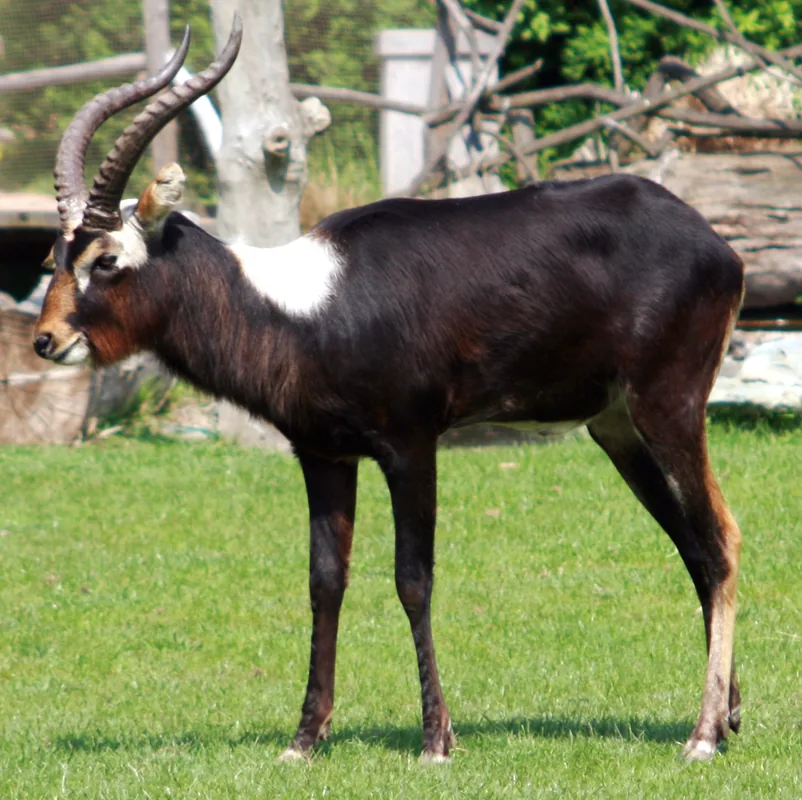
Nature

More places