Plizio Visual Lab
Kolda Plateau

Weather…
Water temperature…
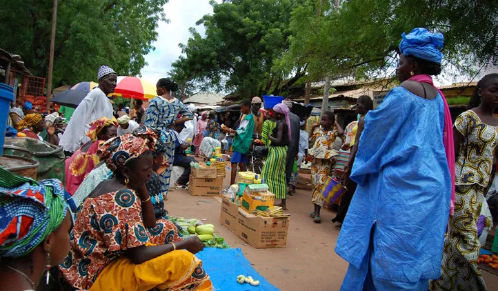
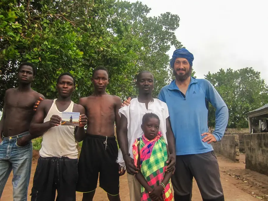
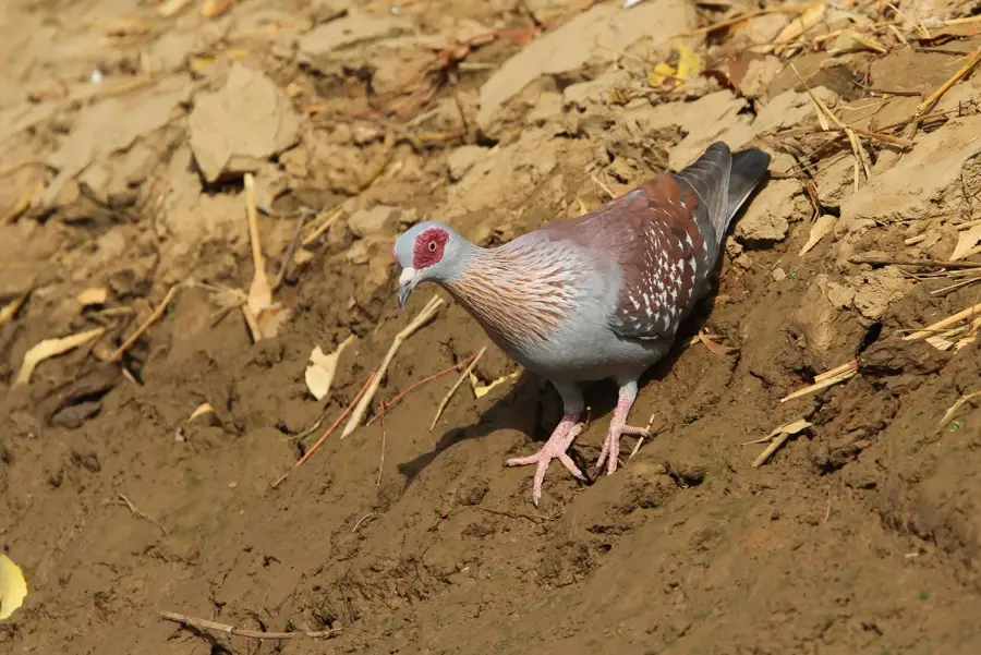
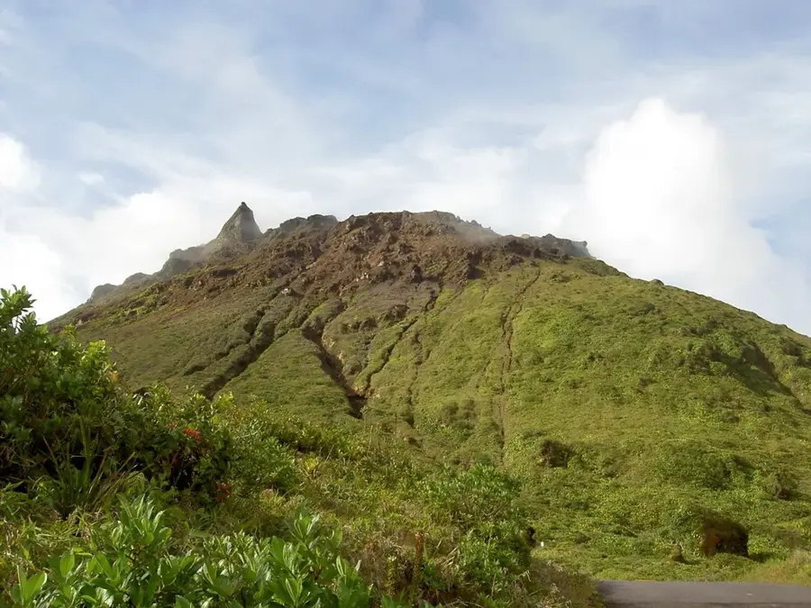
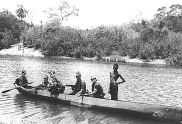
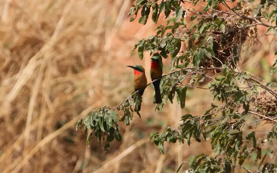
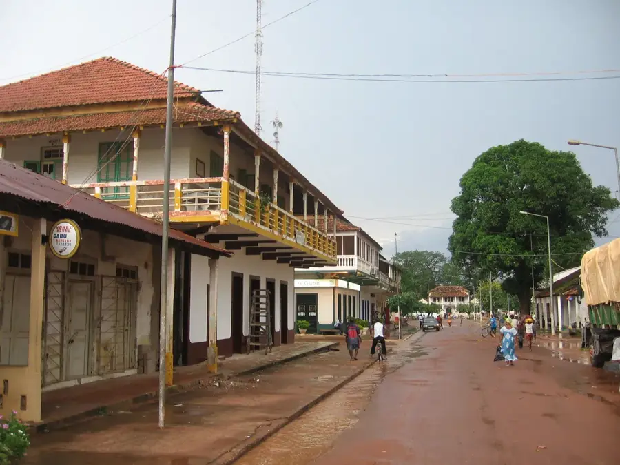
The Kolda Plateau is located in the Haute Casamance region of southern Senegal, forming a topographical transition between the flat coastal plains and the eastern hill countries. The relief is characterized by a gently undulating plateau intersected by numerous river courses and seasonal streams that flow into the Casamance River. Thanks to the relatively high rainfall in this southern zone, the plateau is covered by wooded savanna and dense gallery forests along the waterways. Agriculturally, the area is of great importance, particularly for the cultivation of cotton, peanuts, and increasingly fruit farming. The soils here are more ferruginous and fertile than in the dry north of the country. Kolda serves as an important regional trade center on the border with Guinea-Bissau and Guinea, making the plateau a cultural melting pot. The region's wildlife includes larger mammals such as antelopes and warthogs, which find refuge in the less populated forest areas. Geomorphologically, the plateau consists predominantly of Tertiary sediments that have formed deep valleys in places through erosion.
Best time to visit & climate
The most pleasant time to visit is Jan, Nov, Dec.
| Jan | Feb | Mar | Apr | May | Jun | Jul | Aug | Sep | Oct | Nov | Dec | |
|---|---|---|---|---|---|---|---|---|---|---|---|---|
| Avg °C | 24 | 28 | 31 | 33 | 33 | 30 | 27 | 27 | 27 | 27 | 26 | 24 |
| Rain mm | 1 | 0 | 0 | 0 | 14 | 126 | 237 | 342 | 246 | 80 | 4 | 0 |
📋 Practical info
Geography
Facts
- The average elevation of the Kolda Plateau ranges between 20 and 50 meters.
- The average annual rainfall here exceeds 1,100 mm.
- Kolda is one of the main areas for Senegalese cotton production.
- The region is located in close proximity to the border with Guinea-Bissau.
- The soils are classified as latosols due to their high iron content.
- The Casamance River forms a vast drainage network in the south of the plateau.
Explore nearby
Notable places around
Route planner — Car & Motorhome
Where do you start? We build the route here, with stops and country notes along the way.
© OpenStreetMap contributors · OpenRouteService
Sights nearby
Frequently asked questions
What is the Kolda Plateau known for?
Is it worth a visit for tourists?
Which season is best?
Can one explore the area by bike?
Is it overcrowded with tourists?
Kolda Plateau: where is it located?
Kolda Plateau: when is the best time to visit?
Kolda Plateau: why is it worth visiting?

Nearby cities
History & landmarks
More places