Plizio Visual Lab
Vigie Promontory
Weather…
Water temperature…
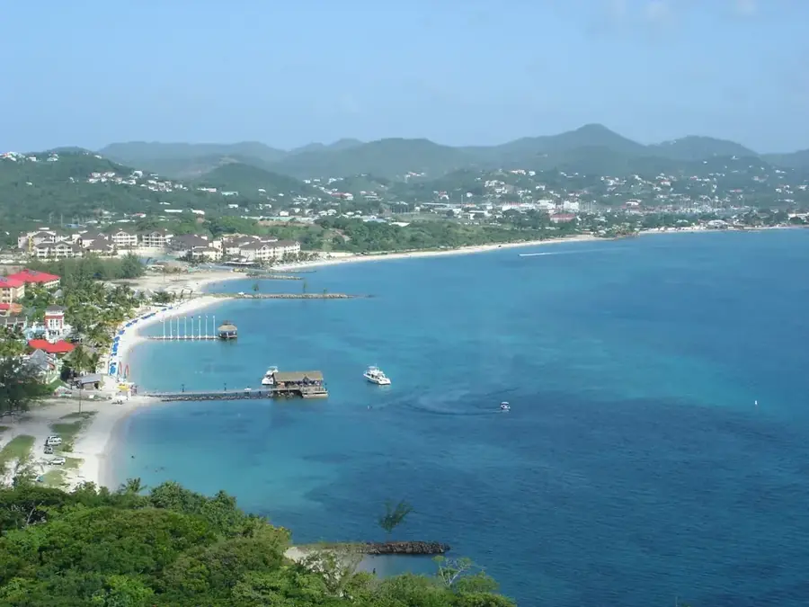
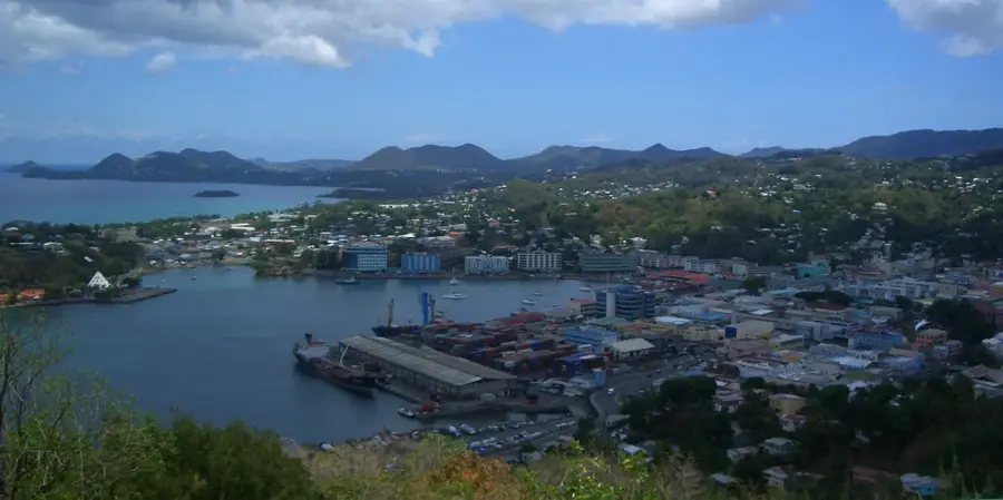
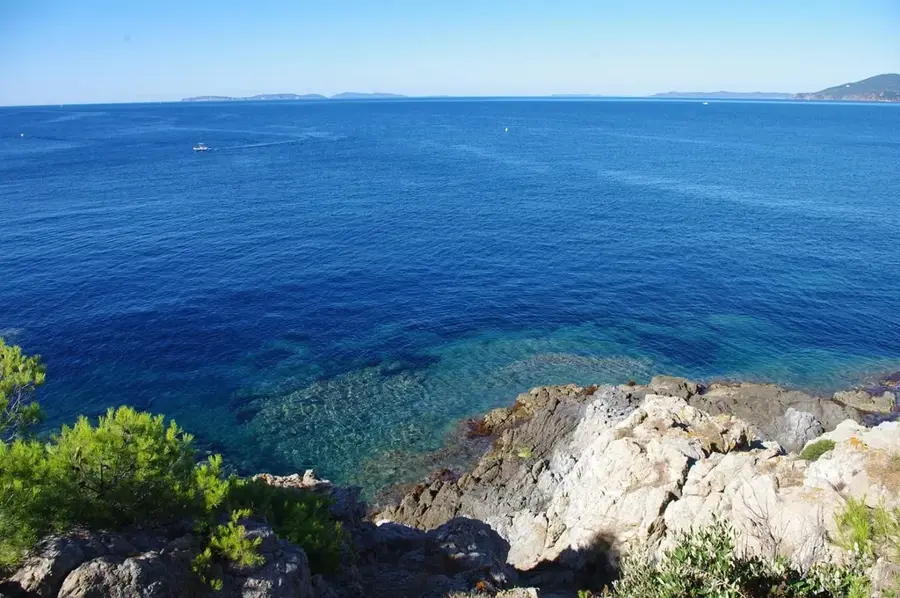
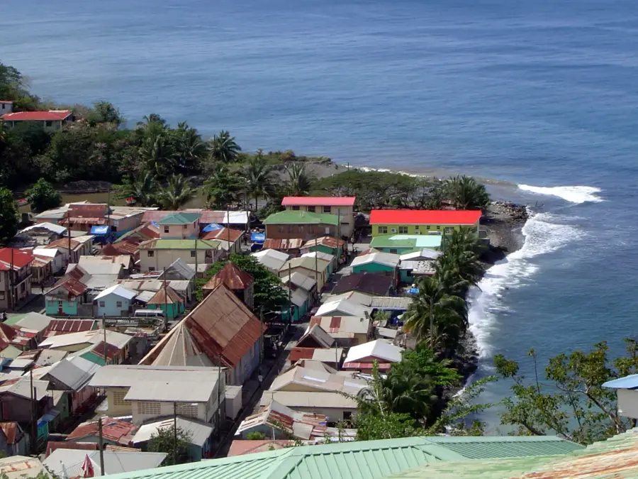
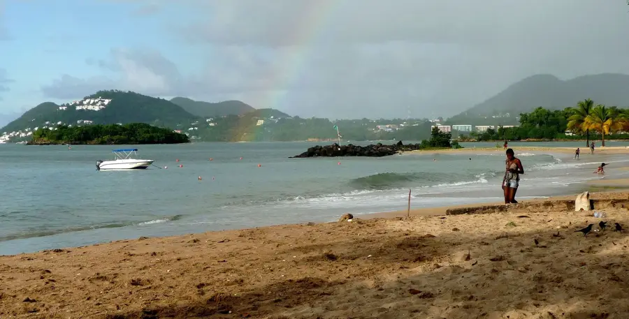
The Vigie Promontory is a narrow, strategic tongue of land forming the northern boundary of Castries Harbor. For centuries, its flat plateau served as a vital natural shield for the island's primary port, protecting it from Atlantic swells and maritime invasions. Its commanding position made it a heavily contested military site during the Anglo-French colonial wars, evidenced by the scattered ruins of barracks and fortifications that remain today. Currently, the area is best known as the site of the George F. L. Charles Airport, with its runway stretching across the level terrain. Despite the industrial noise of aviation, the promontory also features the tranquil Vigie Beach, a favorite spot for locals. The low-lying elevation features unobstructed views of the Caribbean Sea and the capital city, maintaining its historical role as a critical lookout point for vessels entering the sheltered waters of the harbor.
- Location: St. Lucia
- Top sights: Saint Mary's College (Saint Lucia) · Vigie · Radio Caribbean International
- Nearby: Roseau (4 km)
Best time to visit & climate
The most pleasant time to visit is Jan–Mar.
| Jan | Feb | Mar | Apr | May | Jun | Jul | Aug | Sep | Oct | Nov | Dec | |
|---|---|---|---|---|---|---|---|---|---|---|---|---|
| Avg °C | 26 | 26 | 26 | 27 | 28 | 28 | 28 | 28 | 29 | 28 | 28 | 27 |
| Rain mm | 68 | 44 | 48 | 97 | 102 | 136 | 154 | 180 | 182 | 189 | 159 | 85 |
📋 Practical info
Geography
Facts
- Site of the Vigie Lighthouse, built in 1883
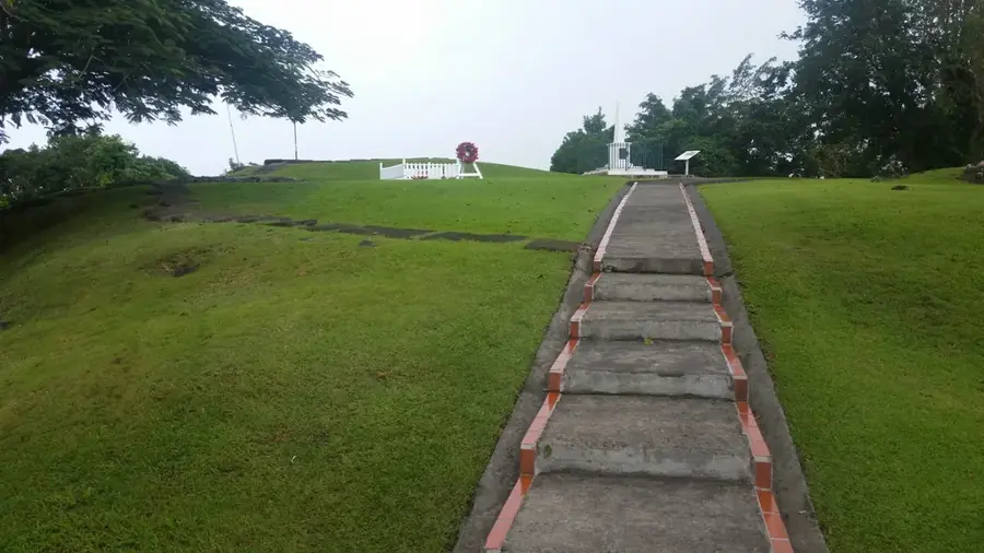
- Scene of numerous battles between British and French forces
- Houses the historic Government House
- The peninsula is approximately 2 kilometers long
- Highest point is about 60 meters above sea level
- Limestone deposits overlie the volcanic foundation
Explore nearby
Notable places around
Route planner — Car & Motorhome
Where do you start? We build the route here, with stops and country notes along the way.
© OpenStreetMap contributors · OpenRouteService
Sights in the town Vigie Promontory (3)
Sights nearby
Frequently asked questions
What is the main attraction on the Vigie promontory?
Can you visit the lighthouse?
How far is it from Castries?
Is Vigie promontory family-friendly?
Are there restaurants nearby?
Vigie Promontory: where is it located?
Vigie Promontory: what is there to see?
Vigie Promontory: when is the best time to visit?
Vigie Promontory: why is it worth visiting?

Nearby cities