Plizio Visual Lab
Mount Grand Magazin

Weather…
Water temperature…
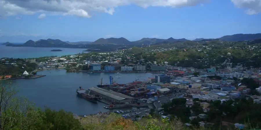
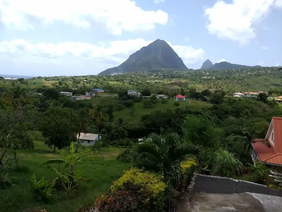
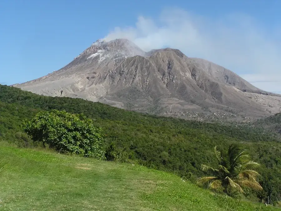
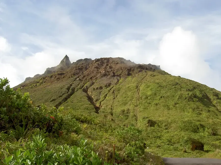
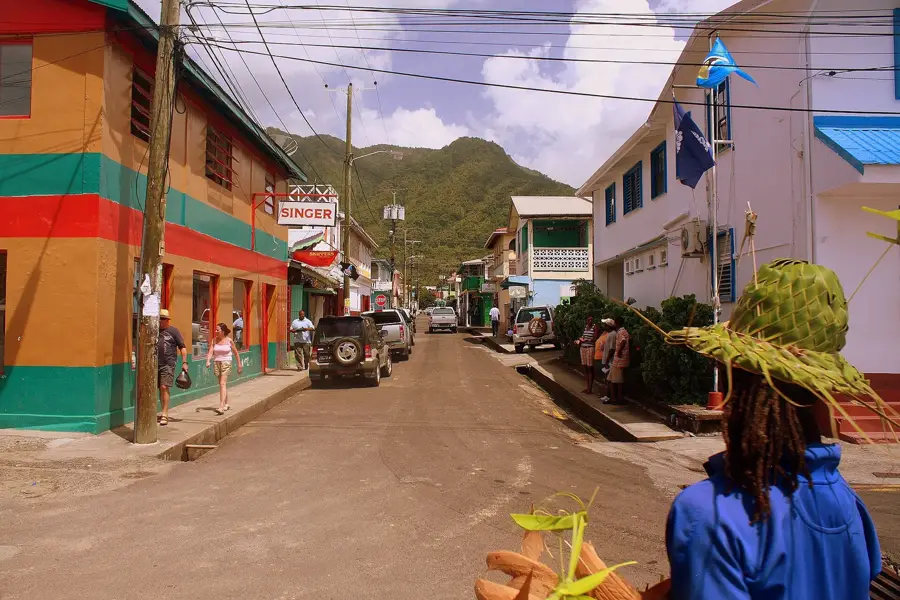
Mount Grand Magazin is a commanding peak in southern Saint Lucia, rising to an elevation of 645 meters as part of the island's central volcanic spine. Located near the district of Choiseul, this mountain serves as a magnificent backdrop to the rural landscape and is characterized by its steep slopes and lush tropical forest. Its geological makeup consists of ancient volcanic rock, reflecting the island's fiery origins. For outdoor enthusiasts, the mountain has challenging hiking trails that are far less crowded than the famous Pitons, providing a more secluded encounter with Saint Lucia's diverse flora and fauna. Reaching the higher ridges rewards hikers with sweeping views of the southern coastline and the vast Caribbean Sea. The area surrounding the mountain is also culturally significant, as the nearby villages are known for their long-standing traditions of pottery and basket weaving. A visit to Mount Grand Magazin thus provides an excellent blend of geological wonder, natural tranquility, and local Caribbean heritage for those who venture off the beaten path.
- Location: St. Lucia
- Nearby: Soufrière Hills (4 km)
Best time to visit & climate
The most pleasant time to visit is Jan–Mar.
| Jan | Feb | Mar | Apr | May | Jun | Jul | Aug | Sep | Oct | Nov | Dec | |
|---|---|---|---|---|---|---|---|---|---|---|---|---|
| Avg °C | 26 | 26 | 26 | 27 | 28 | 28 | 28 | 28 | 29 | 28 | 28 | 27 |
| Rain mm | 68 | 44 | 48 | 97 | 102 | 136 | 154 | 180 | 182 | 189 | 159 | 85 |
📋 Practical info
Geography
Facts
- Reaches a maximum elevation of 645 meters
- Part of the Mount Grand Magazin Nature Reserve
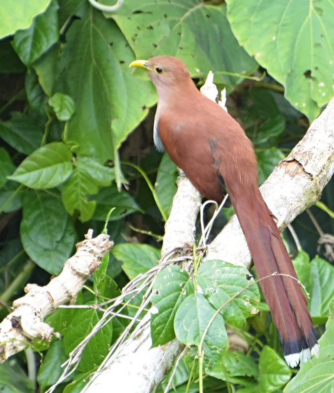
- Home to the rare Saint Lucia parrot (Amazona versicolor)
- The terrain is marked by steep ridges and ravines
- Key source for the Vieux Fort and Troumasse rivers
- Rainfall levels are among the highest on the island
Explore nearby
Notable places around
Route planner — Car & Motorhome
Where do you start? We build the route here, with stops and country notes along the way.
© OpenStreetMap contributors · OpenRouteService
Sights nearby
Frequently asked questions
Where is Mount Grand Magazin located?
Is there high biodiversity there?
Is hiking there safe during rain?
How high is the mountain?
Do I need a permit?
Mount Grand Magazin: where is it located?
Mount Grand Magazin: when is the best time to visit?
Mount Grand Magazin: why is it worth visiting?

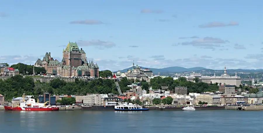
Nearby cities