Plizio Visual Lab
Dennery Falls

Weather…
Water temperature…
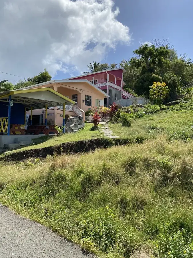
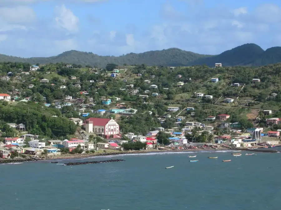
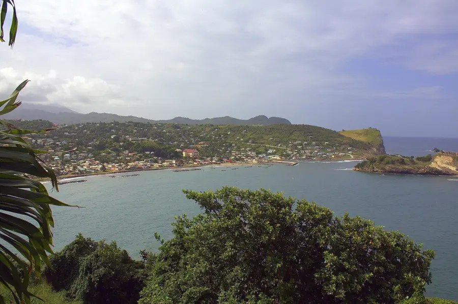
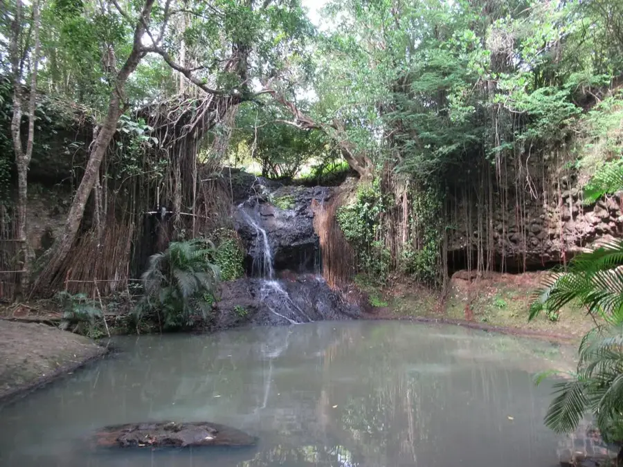
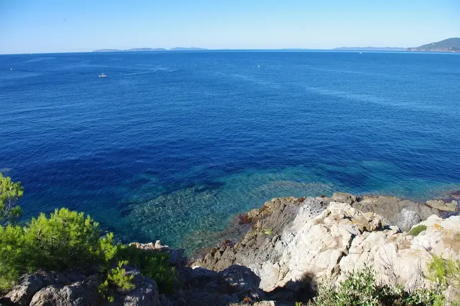
Dennery Falls, frequently referred to by its local name Sault Falls, is a spectacular natural attraction located on the eastern coast of Saint Lucia. Located near the fishing community of Dennery, the waterfall is reached by a short trek through lush tropical greenery on private estate land. The falls tumble roughly 20 meters over a broad rock face into a deep pool shaded by giant ferns and tropical trees. Unlike the busier falls near Soufrière, Dennery Falls remains a peaceful retreat, often visited only by a few hikers at a time. The cool waters provide a refreshing escape from the Caribbean heat, and the surrounding forest is a haven for local birdlife. Its secluded nature makes it a good spot for those seeking a private encounter with the island's beauty.
- Location: St. Lucia
- Nearby: Mon Repos East (4 km)
Best time to visit & climate
The most pleasant time to visit is Jan–Mar.
| Jan | Feb | Mar | Apr | May | Jun | Jul | Aug | Sep | Oct | Nov | Dec | |
|---|---|---|---|---|---|---|---|---|---|---|---|---|
| Avg °C | 26 | 26 | 26 | 27 | 28 | 28 | 28 | 28 | 29 | 28 | 28 | 27 |
| Rain mm | 68 | 44 | 48 | 97 | 102 | 136 | 154 | 180 | 182 | 189 | 159 | 85 |
📋 Practical info
Geography
Facts
- The waterfall has a drop of approximately 20 meters.
- Frequently referred to locally as Sault Falls.
- Located in the Dennery District on the Atlantic coast.
- Fed by the Dennery River originating in the highlands.
- Surrounded by dense secondary dry tropical forest.
- Less visited by tourists compared to western falls.
Explore nearby
Notable places around
Route planner — Car & Motorhome
Where do you start? We build the route here, with stops and country notes along the way.
© OpenStreetMap contributors · OpenRouteService
Sights in the town Dennery Falls (1)
Sights nearby
Frequently asked questions
How strenuous is the hike to the falls?
Can you swim in the pool under the falls?
Are there other activities nearby?
Is there an entrance fee?
Is the trail accessible during rain?
Dennery Falls: where is it located?
Dennery Falls: when is the best time to visit?
Dennery Falls: why is it worth visiting?

Nearby cities