Plizio Visual Lab
Piton Flore
Weather…
Water temperature…
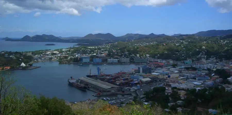
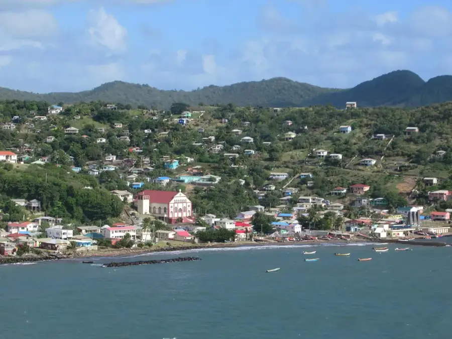
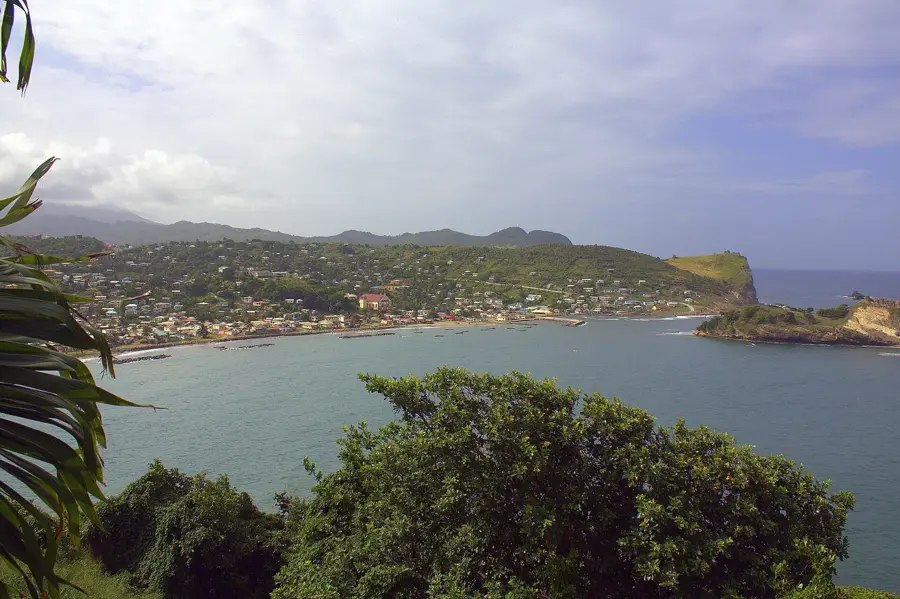
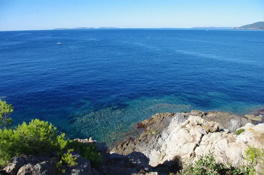
Piton Flore is a prominent mountain in the northern central range of Saint Lucia, standing at an elevation of 564 meters. While it may not share the global fame of the Gros and Petit Pitons in Soufrière, it is a significant natural landmark prized for its dense secondary rainforest and lush biodiversity. The mountain is part of a protected forest reserve, serving as a vital sanctuary for various island bird species and exotic flora. A well-known hiking trail winds its way to the summit, taking adventurers through thick jungle canopies and steep slopes that offer a true taste of Saint Lucia's interior wilderness. Reaching the top provides trekkers with sweeping panoramic views of the northern coastline and the Atlantic Ocean. Piton Flore is not only a destination for eco-tourism but also functions as an essential watershed for the northern part of the island, helping to regulate local water cycles and preserve the delicate balance of the tropical highland ecosystem.
- Location: St. Lucia
- Top sights: Mabouya Valley · Marc Marc · Ravine Poisson
- Nearby: Balata East (4 km)
Best time to visit & climate
The most pleasant time to visit is Jan–Mar.
| Jan | Feb | Mar | Apr | May | Jun | Jul | Aug | Sep | Oct | Nov | Dec | |
|---|---|---|---|---|---|---|---|---|---|---|---|---|
| Avg °C | 26 | 26 | 26 | 27 | 28 | 28 | 28 | 28 | 29 | 28 | 28 | 27 |
| Rain mm | 68 | 44 | 48 | 97 | 102 | 136 | 154 | 180 | 182 | 189 | 159 | 85 |
📋 Practical info
Geography
Facts
- Summit elevation is 564 meters above sea level.
- Part of the Castries Waterworks Reserve.
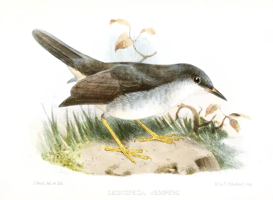
- Important habitat for the Saint Lucia Warbler.
- Serves as a catchment area for the Roseau Dam.
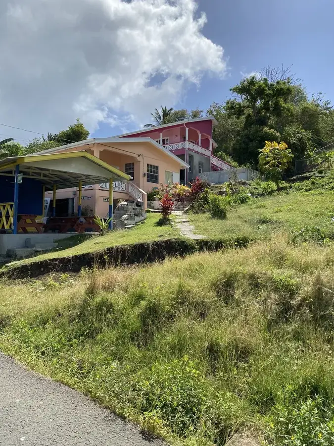
- Accessible via trails from the Babonneau area.
- Covered by dense secondary tropical rainforest.
Explore nearby
Notable places around
Route planner — Car & Motorhome
Where do you start? We build the route here, with stops and country notes along the way.
© OpenStreetMap contributors · OpenRouteService
Sights in the town Piton Flore (3)
Sights nearby
Frequently asked questions
Where does the Piton Flore hike start?
What is special about this trail?
Is the path well-marked?
Can you see the Atlantic Ocean from the top?
How difficult is the hike?
Piton Flore: where is it located?
Piton Flore: what is there to see?
Piton Flore: when is the best time to visit?
Piton Flore: why is it worth visiting?

Nearby cities