Plizio Visual Lab
Cul de Sac River Wetlands
Weather…
Water temperature…
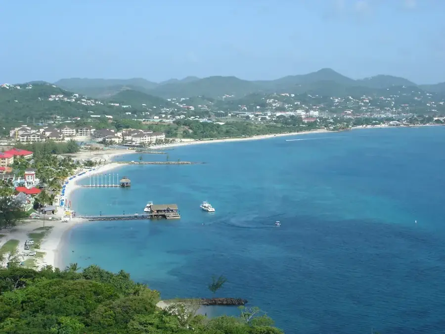
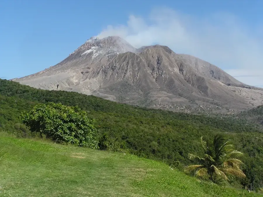
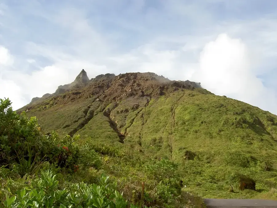
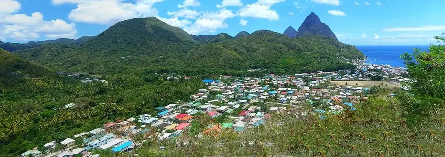
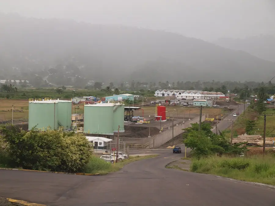
The Cul de Sac River Wetlands represent a critical estuarine ecosystem located on the western coast of Saint Lucia, just south of the capital. Despite being situated near a major industrial estate and a large oil terminal, these wetlands remain a vital sanctuary for local wildlife and a key player in coastal protection. The extensive stands of Red Mangroves characterize the area, with their intricate root systems acting as a natural filtration plant that traps sediment and land-based pollutants before they reach the Caribbean Sea. This nutrient-rich environment serves as a crucial nursery for a wide variety of reef fish, crabs, and other marine organisms. Birdwatchers are often rewarded with sightings of herons, egrets, and pelicans that frequent the brackish waters in search of food. The wetlands stand as a testament to the balance between Saint Lucia's industrial growth and the preservation of its natural heritage, highlighting the essential role mangroves play in maintaining the island's ecological health.
- Location: St. Lucia
- Top sights: Cul de Sac River · Soucis · Cul De Sac Power Station
- Nearby: Anse La Raye (4 km)
Best time to visit & climate
The most pleasant time to visit is Jan–Mar.
| Jan | Feb | Mar | Apr | May | Jun | Jul | Aug | Sep | Oct | Nov | Dec | |
|---|---|---|---|---|---|---|---|---|---|---|---|---|
| Avg °C | 26 | 26 | 26 | 27 | 28 | 28 | 28 | 28 | 29 | 28 | 28 | 27 |
| Rain mm | 68 | 44 | 48 | 97 | 102 | 136 | 154 | 180 | 182 | 189 | 159 | 85 |
📋 Practical info
Geography
Facts
- Large-scale drainage basin for northern St. Lucia
- Protects the bay from industrial sediments
- Presence of the Yellow Warbler
- Critical marsh area for coastal protection
- Habitat for various dragonfly species
- Regulation of groundwater levels in the valley
Explore nearby
Notable places around
Route planner — Car & Motorhome
Where do you start? We build the route here, with stops and country notes along the way.
© OpenStreetMap contributors · OpenRouteService
Sights in the town Cul de Sac River Wetlands (3)
Sights nearby
Frequently asked questions
What makes the Cul de Sac wetlands special?
Is the area easily accessible?
Can you go boating there?
Are there many mosquitoes there?
Is a short visit worth it?
Cul de Sac River Wetlands: where is it located?
Cul de Sac River Wetlands: what is there to see?
Cul de Sac River Wetlands: when is the best time to visit?
Cul de Sac River Wetlands: why is it worth visiting?

Nearby cities