Plizio Visual Lab
Stânca Peak
Weather…
Water temperature…
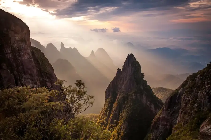
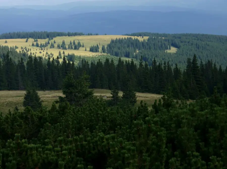
Stânca Peak is a prominent elevation in the Călimani Mountains, reaching an altitude of 1998 meters. It is situated on the main ridge of the massif, in close proximity to Pietrosul Călimani and Rețitiș Peak. Geologically, Stânca consists of volcanic rocks, primarily andesite, deposited during the massive eruptions of the Neogene period. Its name, which translates to 'The Rock,' accurately reflects the rugged and stony appearance of the summit, characterized by steep cliffs and scree slopes. Geomorphologically, it is part of the vast crater rim of the Călimani caldera, providing deep views into the heart of the extinct volcano. Vegetation at this altitude is sparse, consisting mainly of lichens, mosses, and alpine grasses that endure extreme weather conditions. Historically, the peak was of strategic importance due to its location near the former border between the Austro-Hungarian Empire and the Principality of Moldavia. Hikers value Stânca Peak for its raw atmosphere and the chance to experience Romania's geological history firsthand. Despite its height, the summit is accessible via the ridge trail and has spectacular photographic opportunities of the wild volcanic landscape.
- Location: Suceava, Romania
- Nearby: Toplița (24 km)
Best time to visit & climate
The most pleasant time to visit is Jul–Sep.
| Jan | Feb | Mar | Apr | May | Jun | Jul | Aug | Sep | Oct | Nov | Dec | |
|---|---|---|---|---|---|---|---|---|---|---|---|---|
| Avg °C | -6 | -4 | 1 | 7 | 12 | 16 | 18 | 18 | 13 | 7 | 2 | -4 |
| Rain mm | 38 | 39 | 48 | 55 | 93 | 113 | 99 | 77 | 58 | 56 | 43 | 43 |
📋 Practical info
Geography
Facts
- Stânca Peak stands at an elevation of 1998 meters above sea level.
- It is part of the circular ridge surrounding Romania's largest volcanic caldera.
- Geologically, the peak is almost entirely composed of andesitic lava flows.
- The name 'Stânca' refers to the prominent rock walls located on the peak's northern side.
- From the summit, there is a direct line of sight to the former sulfur mining area inside the crater.
- Near the summit, hikers can find remnants of old 19th-century border markers.
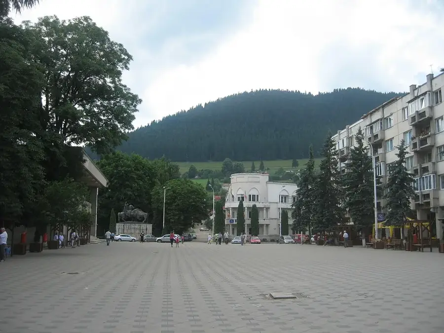
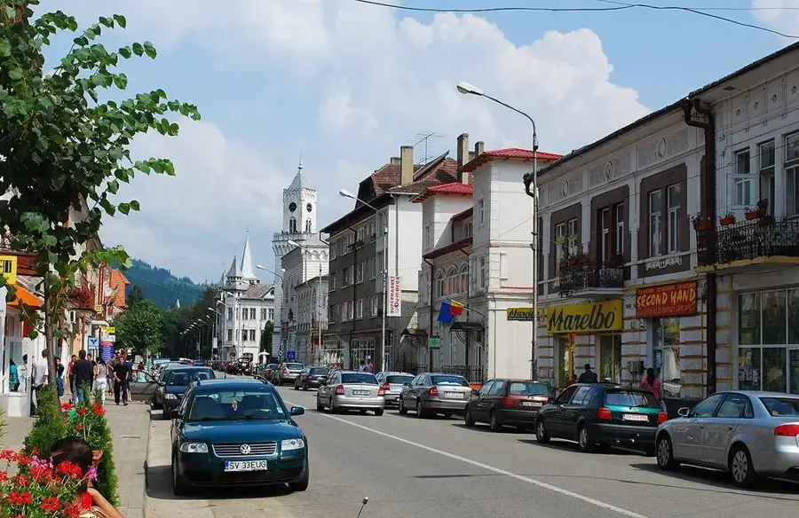
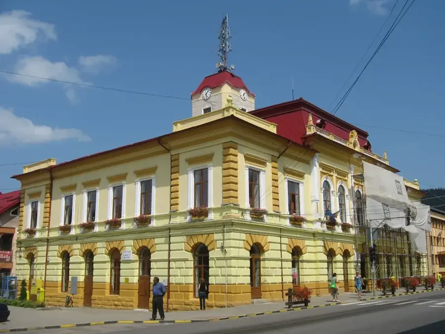
Explore nearby
Notable places around
Route planner — Car & Motorhome
Where do you start? We build the route here, with stops and country notes along the way.
© OpenStreetMap contributors · OpenRouteService
Sights nearby
Frequently asked questions
Where is Vârful Stânca located?
How high is the mountain?
Is there drinking water on the way?
Is the path rocky?
What is the climate like there?
Stânca Peak: where is it located?
Stânca Peak: when is the best time to visit?
Stânca Peak: why is it worth visiting?

Nearby cities
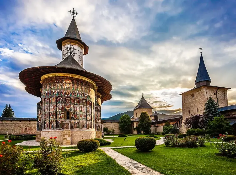
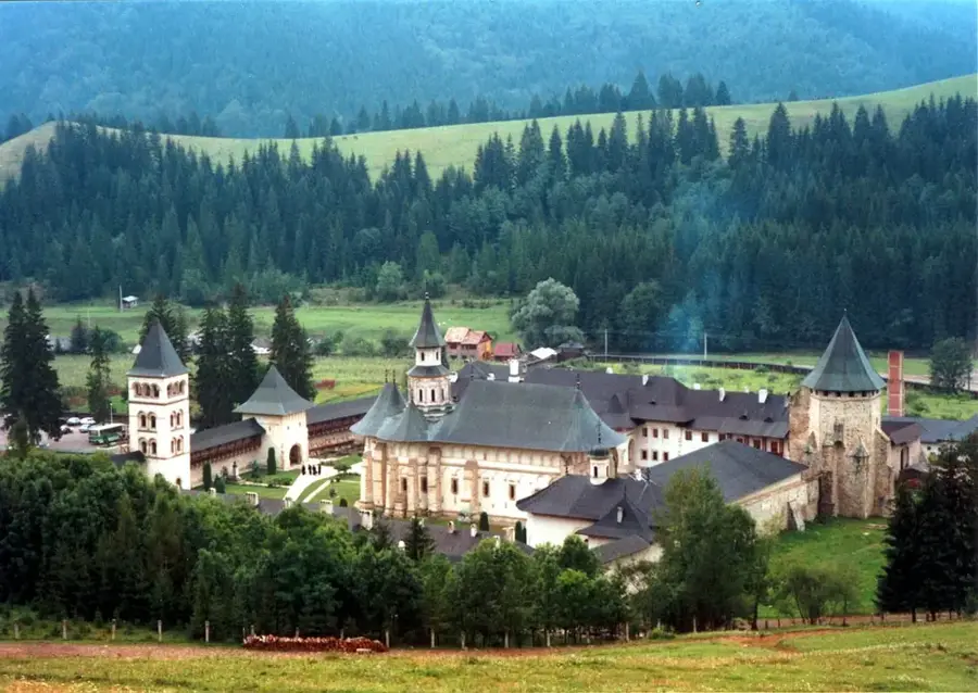
History & landmarks

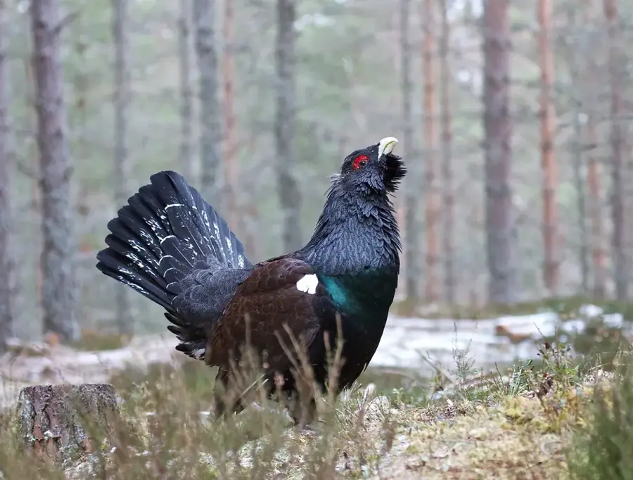
Nature
More places