Plizio Visual Lab
Ihnat Peak

Weather…
Water temperature…
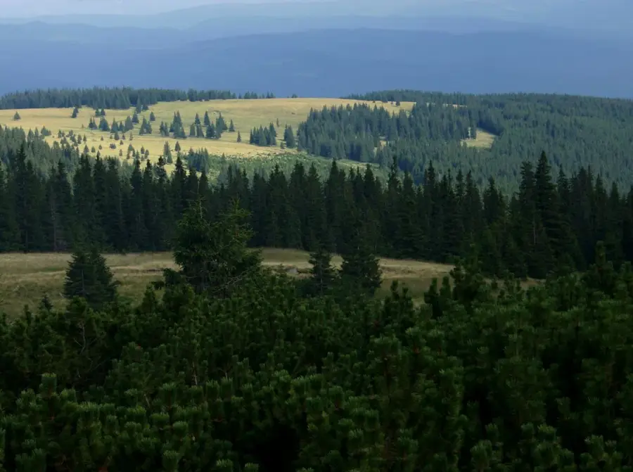
Ihnat Peak (Vârful Ihnat) is a significant mountain summit in the Maramureș Mountains of northern Romania, standing at an elevation of 1439 meters. Located very close to the Ukrainian border, it forms part of a rugged and remote landscape within the Eastern Carpathians. The peak is characterized by its crystalline schist geology, contributing to its steep slopes and rocky outcrops. The surrounding environment is dominated by vast primeval forests of beech and spruce, which are home to a variety of protected wildlife species. High-altitude meadows, known locally as poloninas, cover the summit area, offering spectacular panoramic views of the Transcarpathian region. Historically, this area has been influenced by the cultural traditions of the Hutsul people, who have used these mountains for pastoral activities for generations. Today, Ihnat Peak remains a destination for adventurous hikers seeking solitude and a chance to experience the raw natural beauty of one of Europe's last wild mountain areas.
- Location: Suceava, Romania
- Nearby: Toplița (23 km)
Best time to visit & climate
The most pleasant time to visit is Jul–Sep.
| Jan | Feb | Mar | Apr | May | Jun | Jul | Aug | Sep | Oct | Nov | Dec | |
|---|---|---|---|---|---|---|---|---|---|---|---|---|
| Avg °C | -6 | -4 | 1 | 7 | 12 | 16 | 18 | 18 | 13 | 7 | 2 | -4 |
| Rain mm | 38 | 39 | 48 | 55 | 93 | 113 | 99 | 77 | 58 | 56 | 43 | 43 |
📋 Practical info
Geography
Facts
- The summit reaches a height of 1439 meters above sea level.
- It is located in the Maramureș Mountains, near the village of Poienile de sub Munte.
- The peak lies on the ridge that marks the border with Ukraine.
- Geological formations here date back to the Paleozoic era.
- The area is protected as part of a national natural park.
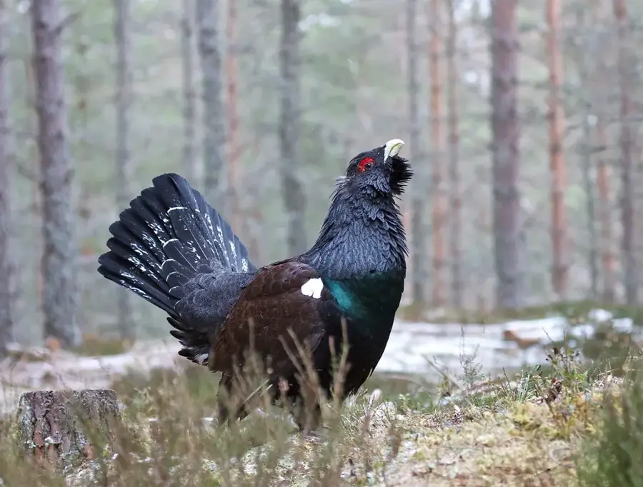
- It is a key site for observing large birds of prey like the golden eagle.
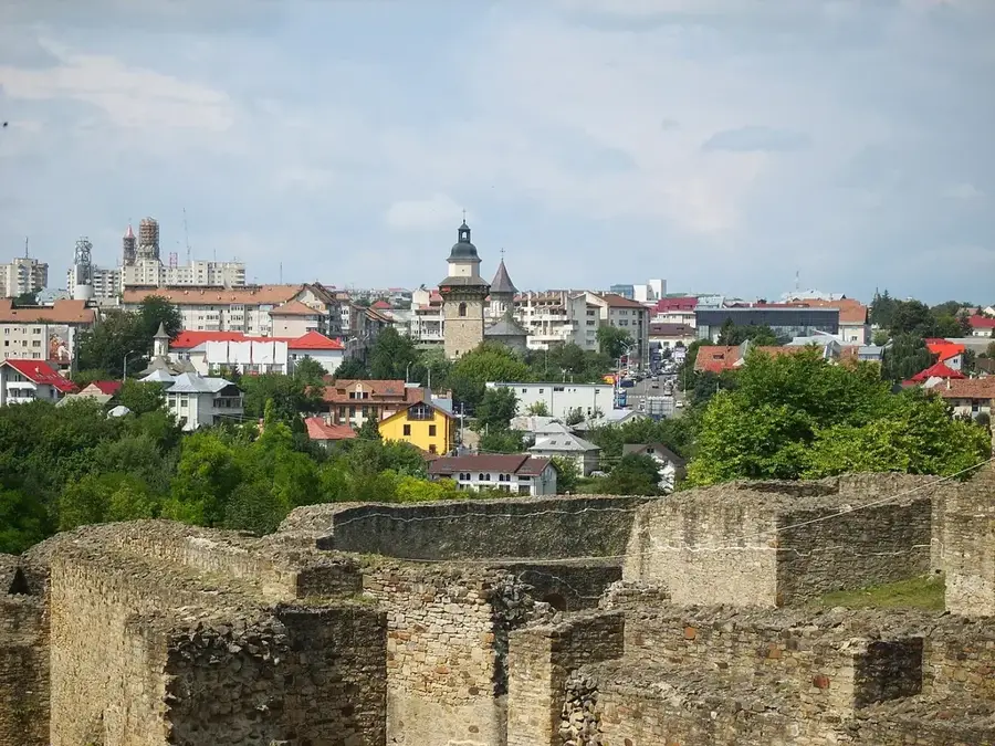
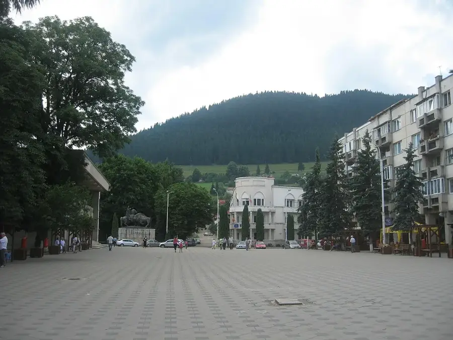
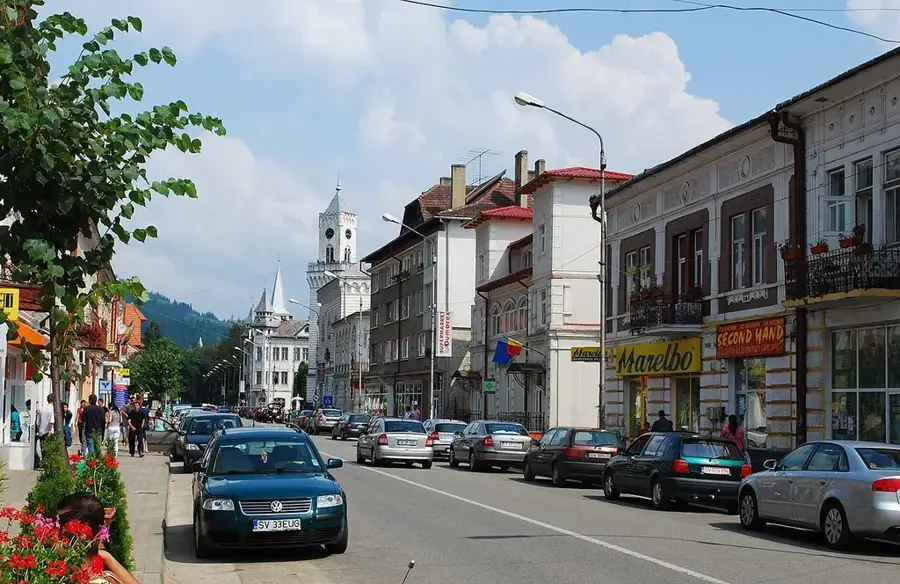
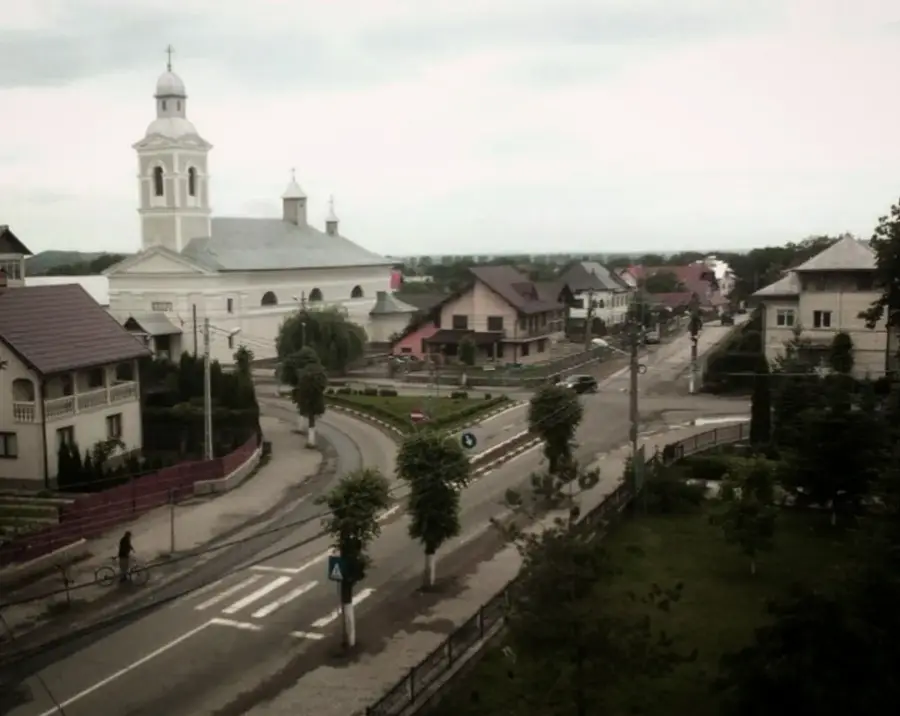
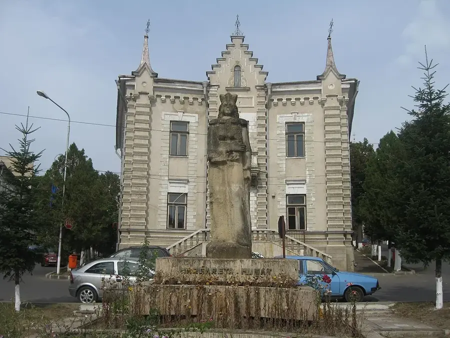
Explore nearby
Notable places around
Route planner — Car & Motorhome
Where do you start? We build the route here, with stops and country notes along the way.
© OpenStreetMap contributors · OpenRouteService
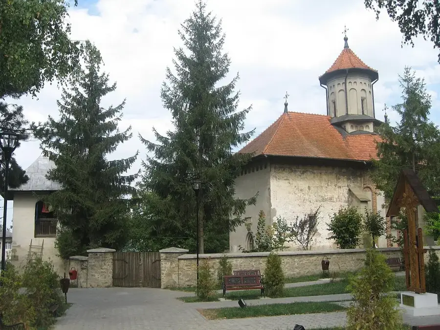
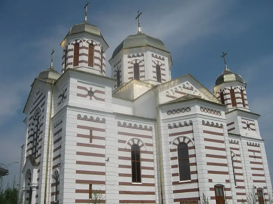
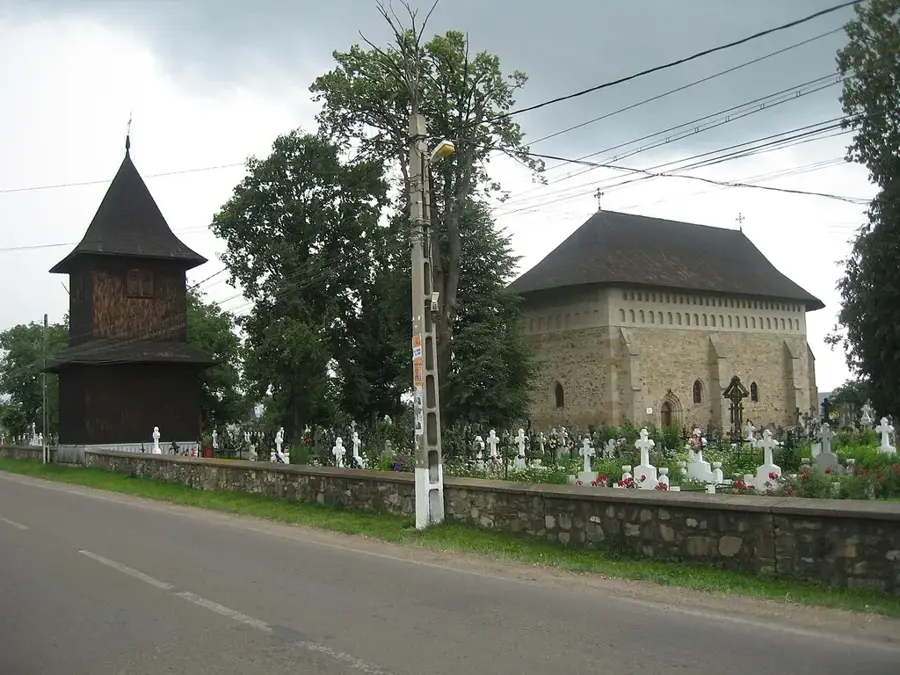
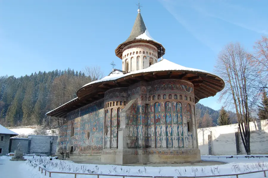
Sights nearby
Frequently asked questions
How high is Ihnat Peak?
Is the peak forested?
Are there hiking trails?
Which villages are closest?
When should the hike be avoided?
Ihnat Peak: where is it located?
Ihnat Peak: when is the best time to visit?
Ihnat Peak: why is it worth visiting?

Nearby cities
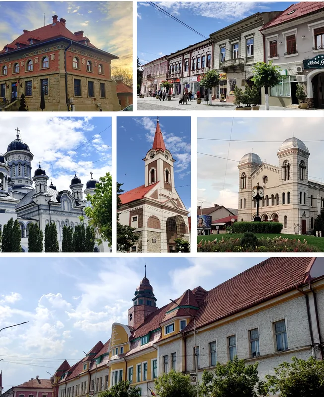
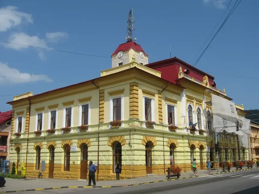
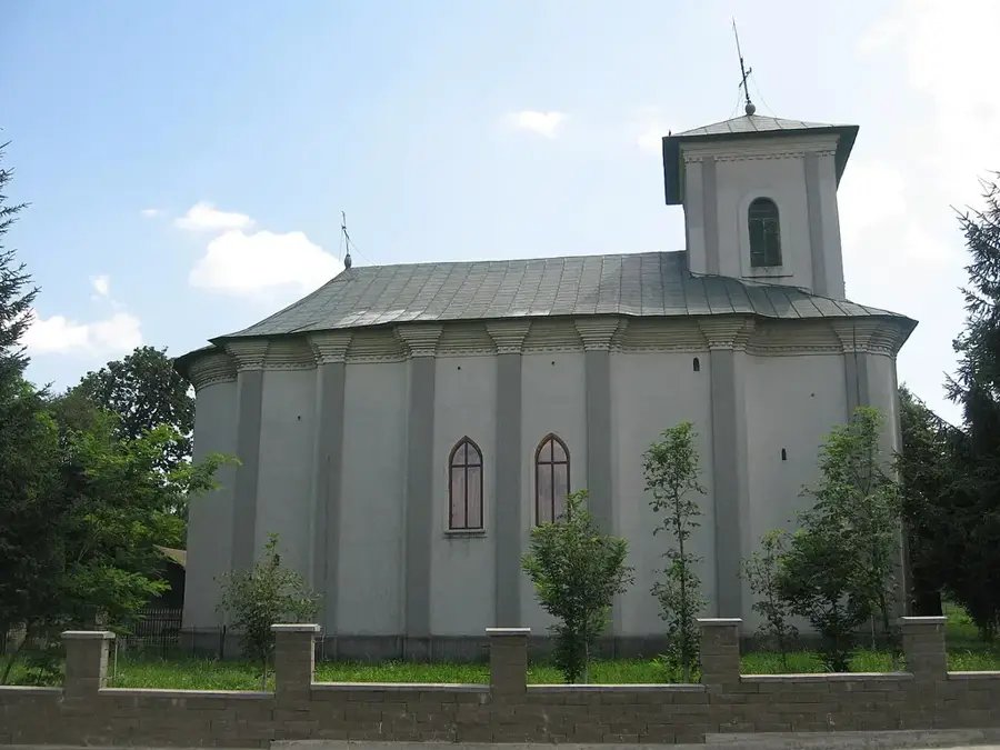
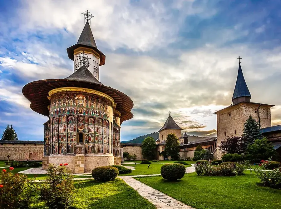
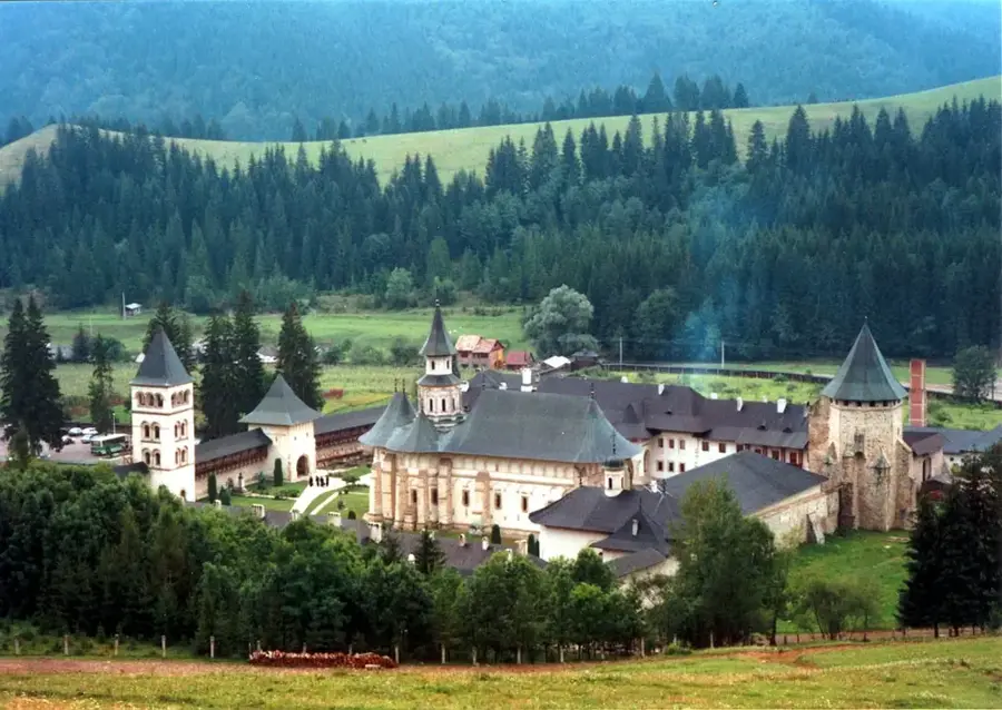
History & landmarks

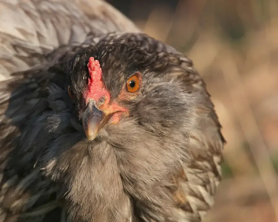
Nature
More places