Plizio Visual Lab
Serra de Monchique
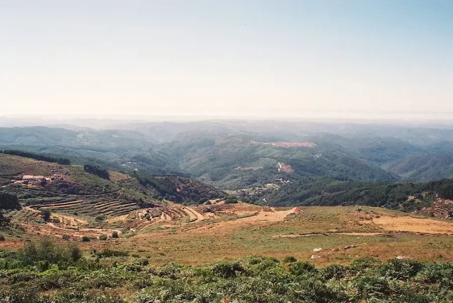
Serra de Monchique is a volcanic mountain range located in the western Algarve, serving as a natural boundary with the Alentejo region. Its highest peak, Fóia, reaches an elevation of 902 meters, offering sweeping panoramic views across Portugal's southern coastline to Cape St. Vincent. Unlike the limestone soils typical of the rest of the Algarve, Monchique is primarily composed of syenite, an igneous rock. This unique geological substrate combined with high humidity from the Atlantic Ocean supports lush vegetation, including cork oaks, chestnuts, and the rare Rhododendron ponticum. Historically, the area has been famous since Roman times for its thermal springs, Caldas de Monchique, believed to possess medicinal properties. The town of Monchique itself is located between the hills and is renowned for its traditional handicrafts and culinary products like medronho spirit. Despite facing devastating forest fires in recent years, the range remains a critical ecological sanctuary. It acts as a barrier against northern winds, significantly contributing to the mild climate enjoyed on the Algarve coast.
- Location: Portugal
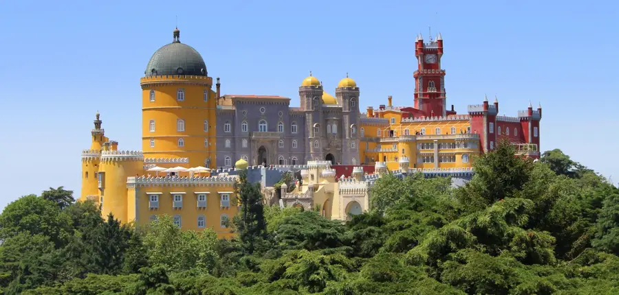
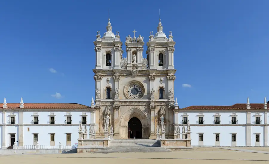
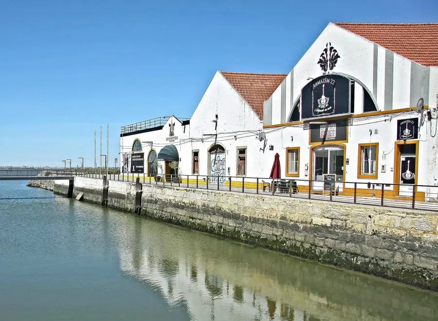
- Top sights: Convento de Nossa Senhora do Desterro · Cascata do Barbelote · Cascata do Chilrão
- Nearby: Rogil (20 km)
Best time to visit & climate
The most pleasant time to visit is Jun, Jul, Sep.
| Jan | Feb | Mar | Apr | May | Jun | Jul | Aug | Sep | Oct | Nov | Dec | |
|---|---|---|---|---|---|---|---|---|---|---|---|---|
| Avg °C | 11 | 12 | 13 | 15 | 18 | 21 | 23 | 23 | 22 | 19 | 14 | 12 |
| Rain mm | 51 | 48 | 58 | 56 | 30 | 8 | 1 | 4 | 24 | 71 | 87 | 66 |
📋 Practical info
Geography
Facts
- Fóia is the highest point in the Algarve at 902 meters.
- The mountains are composed of the rare igneous rock known as syenite.
- The thermal springs of Caldas de Monchique have a constant temperature of 32°C.
- The region is a major producer of Portuguese cork.
- Picota is the second-highest peak in the range at 774 meters.
- Monchique is home to over 1,000 different plant species.
Explore nearby
Notable places around
Route planner — Car & Motorhome
Where do you start? We build the route here, with stops and country notes along the way.
© OpenStreetMap contributors · OpenRouteService
Sights in the town Serra de Monchique (8)
Sights nearby
Frequently asked questions
Which is the highest mountain in the Algarve?
Are there thermal springs in Monchique?
What is Medronho?
What is the vegetation like in Monchique?
Can you see the sea from the peak?
Serra de Monchique: where is it located?
Serra de Monchique: what is there to see?
Serra de Monchique: when is the best time to visit?
Serra de Monchique: why is it worth visiting?

Nearby cities

History & landmarks