Plizio Visual Lab
Patungan
ℹ️Practical info — Patungan
▾
🌤 Weather — 5 days
📍 Nearby
Sights nearby
Water temperature…
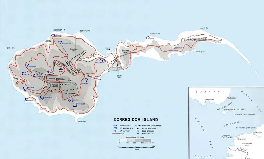
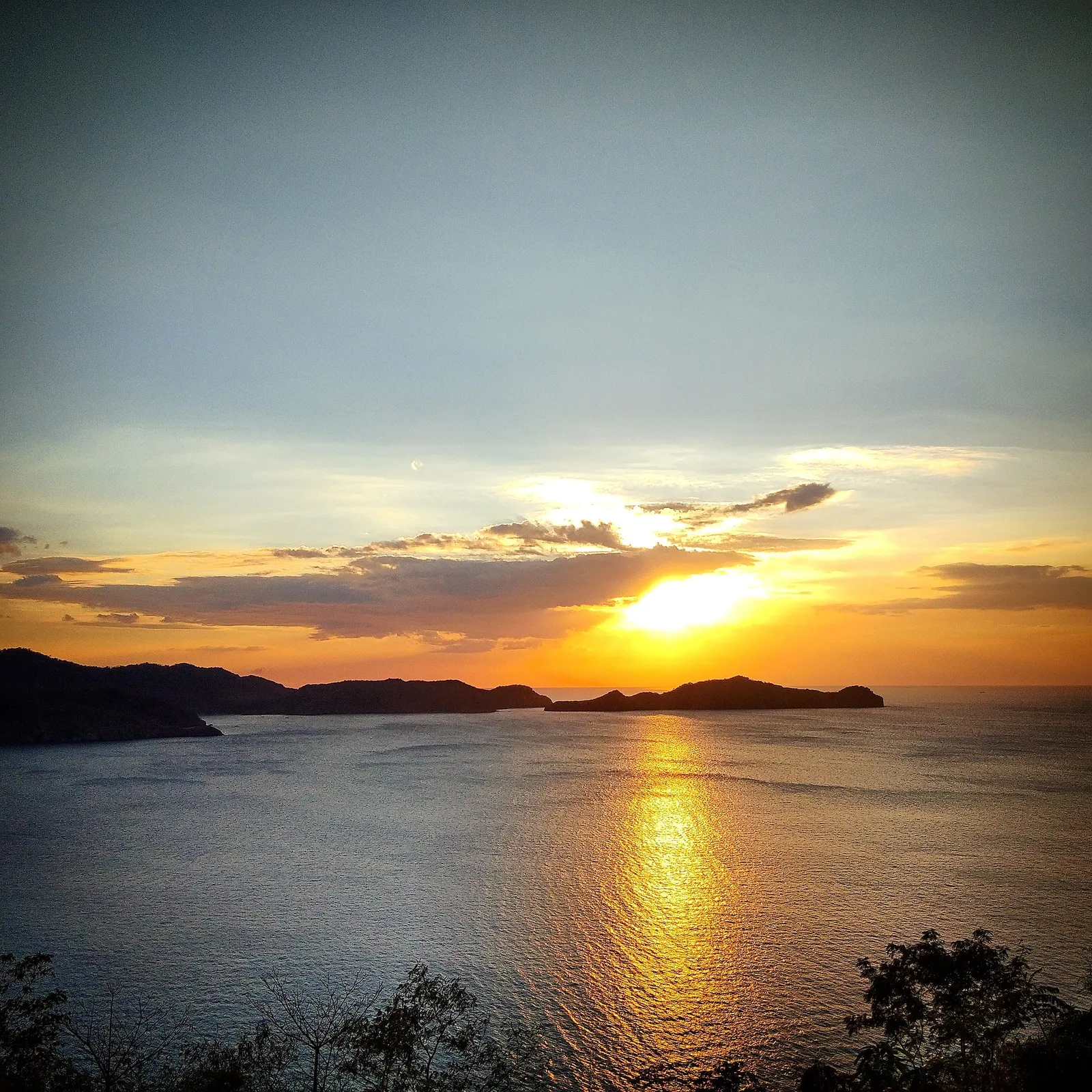
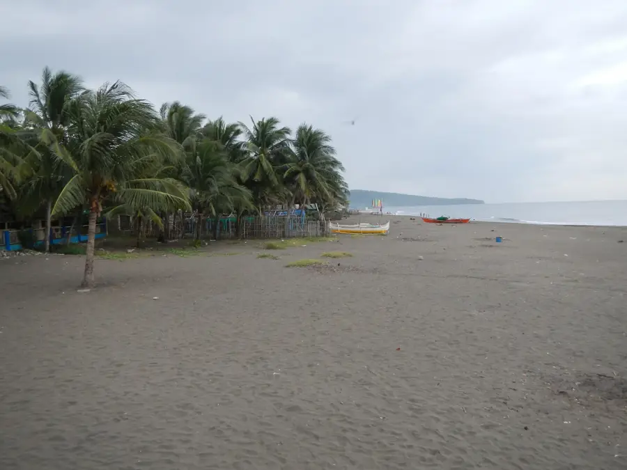
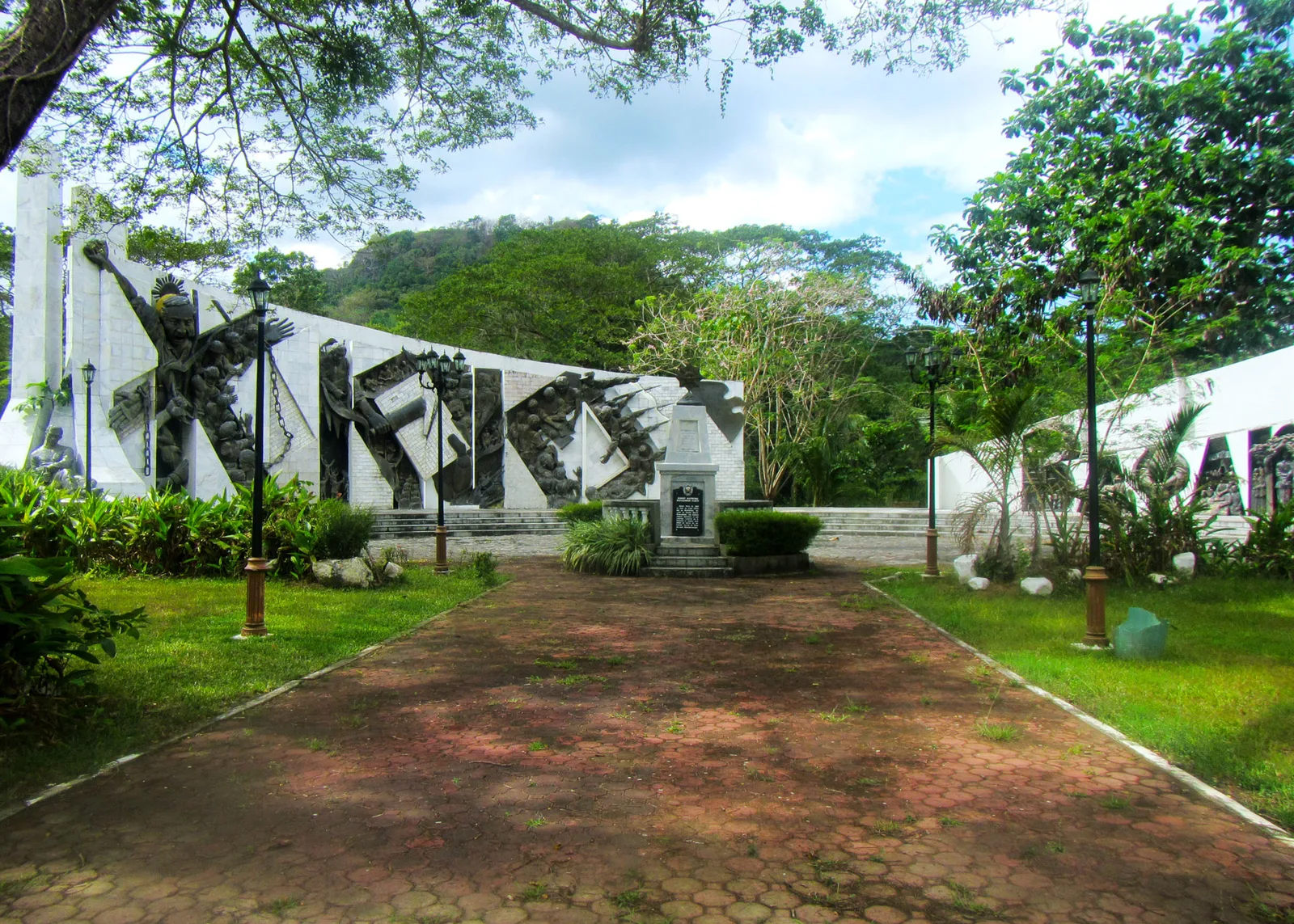
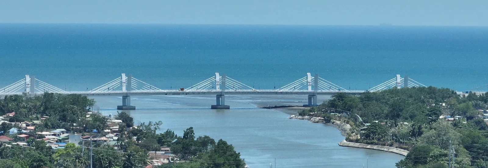
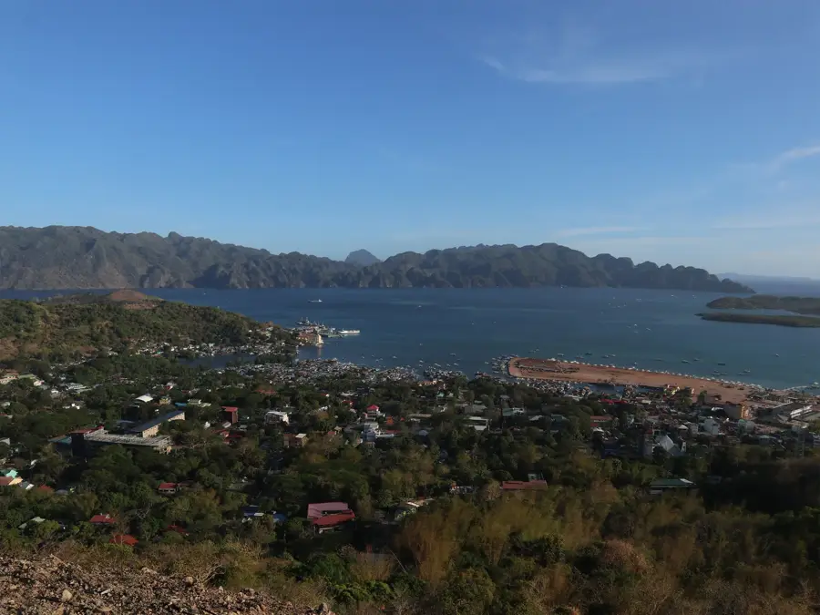
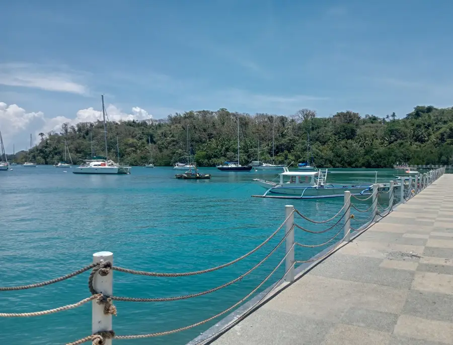
Patungan, officially part of Maragondon in Cavite, is a unique destination known for its dark volcanic sand and impressive hilly landscape. The cove has spectacular views of the entrance to Manila Bay and historical island fortifications. It is a popular weekend getaway for residents of the capital, being located just a few hours away. Patungan Beach is the most well-known public beach in the area and a hub for local life. In the immediate vicinity lies Katungkulan Beach Resort, also known as Marine Base Beach, prized for its clear waters and well-kept facilities. For a more exclusive experience, Caylabne Bay Resort & Marina provides a luxurious setting amidst tropical nature. Sinilang Beach provides simpler options for day-trippers. The area around Patungan is also popular among hikers who climb the nearby Mount Pico de Loro. In the cove, boats can be rented for trips to secluded beaches or to Corregidor Island. Local cuisine features fresh seafood, often prepared right on the shore.
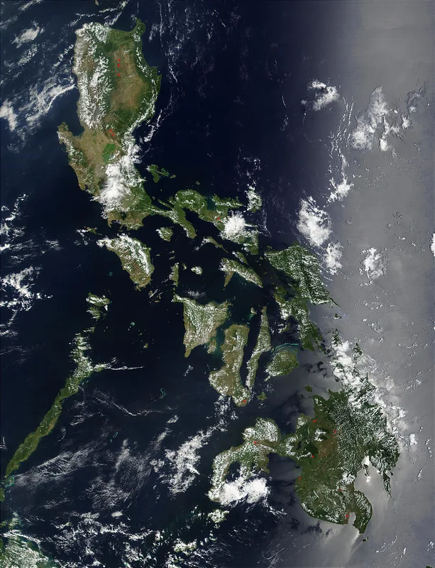
- Location: Philippines
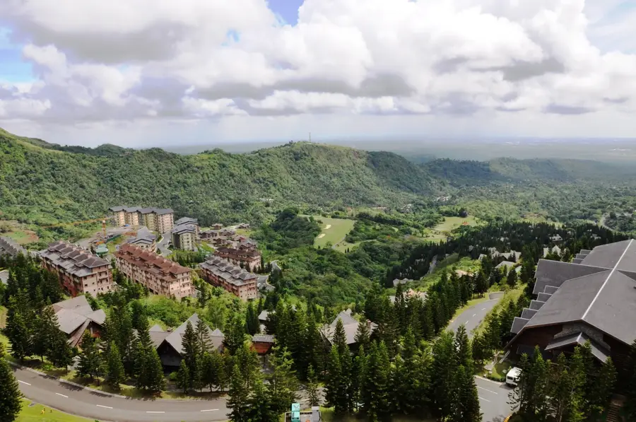
- Top sights: Patungan Cove Viewpoint · Carabao Island Viewpoint · Mount Pico de Loro
- Nearby: Balaytigue (6 km)
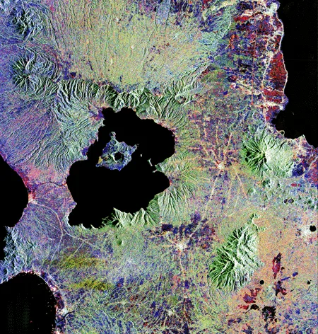
Geography
Facts
- Dark volcanic sand
- View of Corregidor
- Proximity to Pico de Loro
- 2-3 hours from Manila
- Military base nearby
- Fresh seafood dining
- Popular day-trip spot
- Boat tours available
Explore nearby
Notable places around
Route planner — Car & Motorhome
Where do you start? We build the route here, with stops and country notes along the way.
© OpenStreetMap contributors · OpenRouteService
Sights in the town Patungan (6)
Frequently asked questions
What is Patungan Cove?
How far from Manila?
Can we camp on the beach?
Is the sand white?
What are the activities?
Patungan: where is it located?
Patungan: what is there to see?
Patungan: why is it worth visiting?

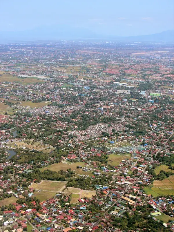
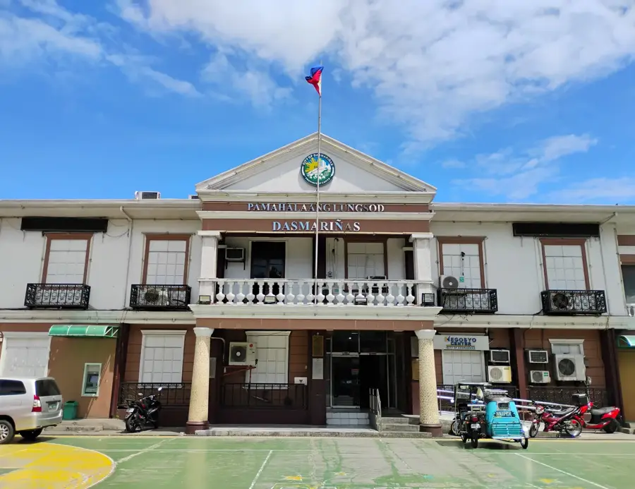
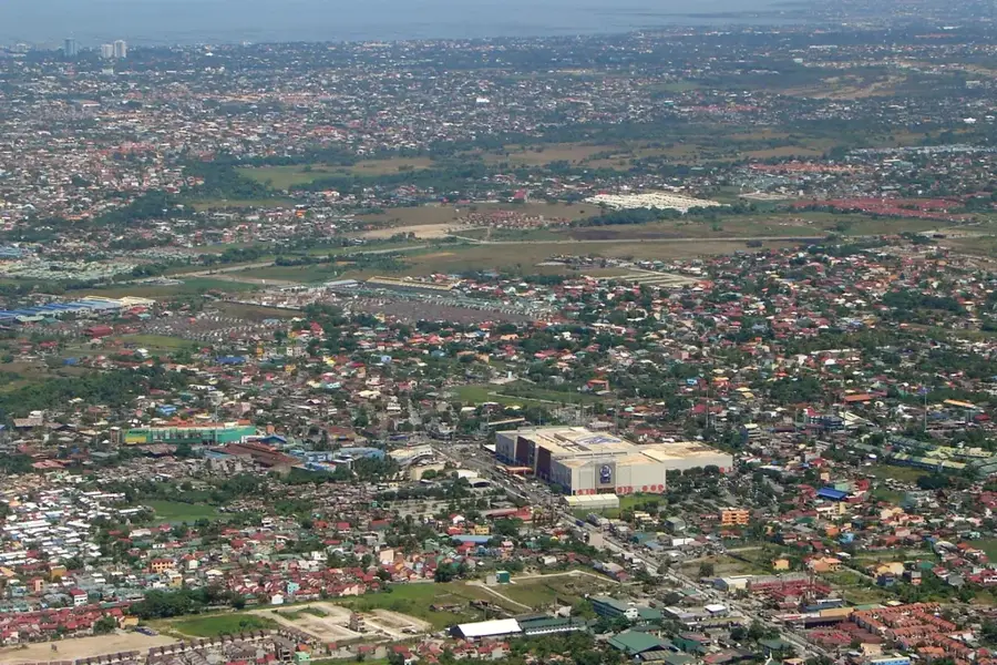
Nearby cities

More places