Plizio Visual Lab
Bicol Peninsula Coast

Weather…
Water temperature…
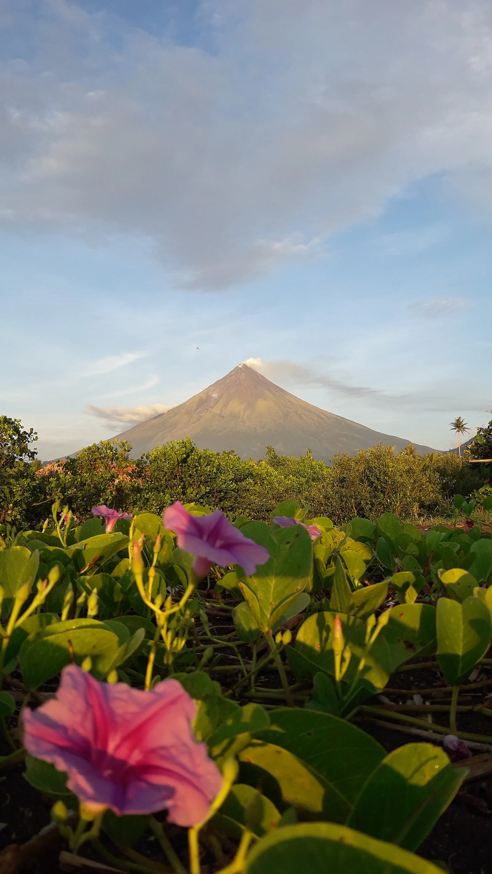
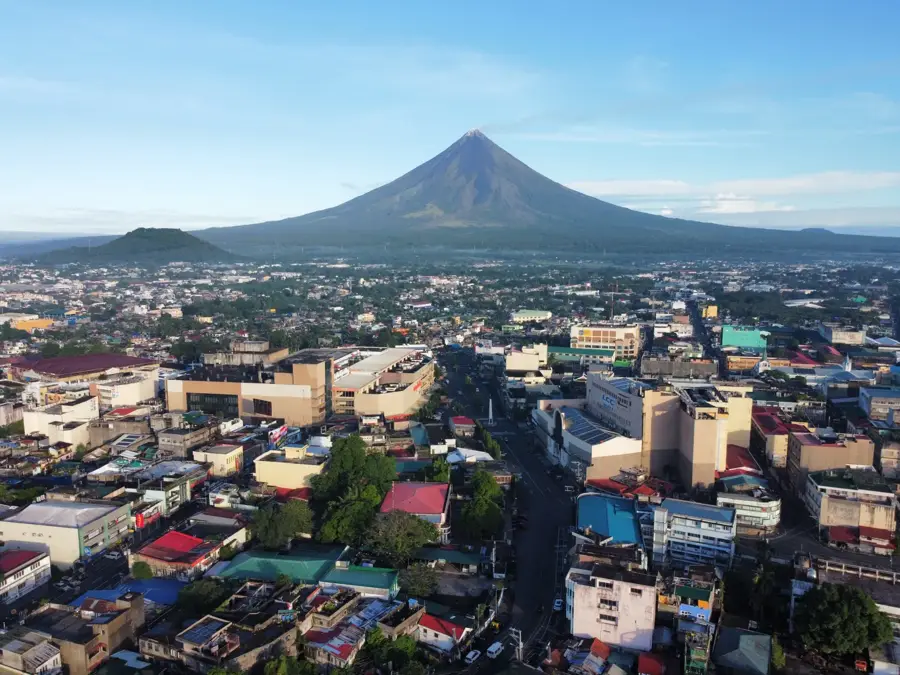
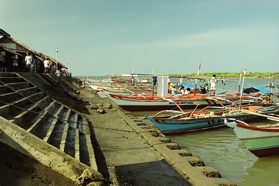
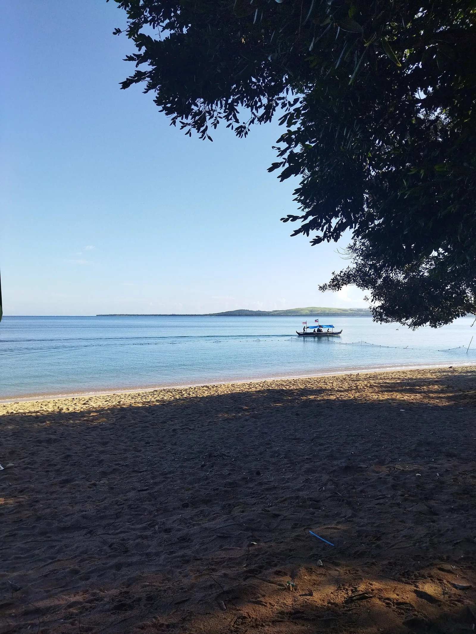
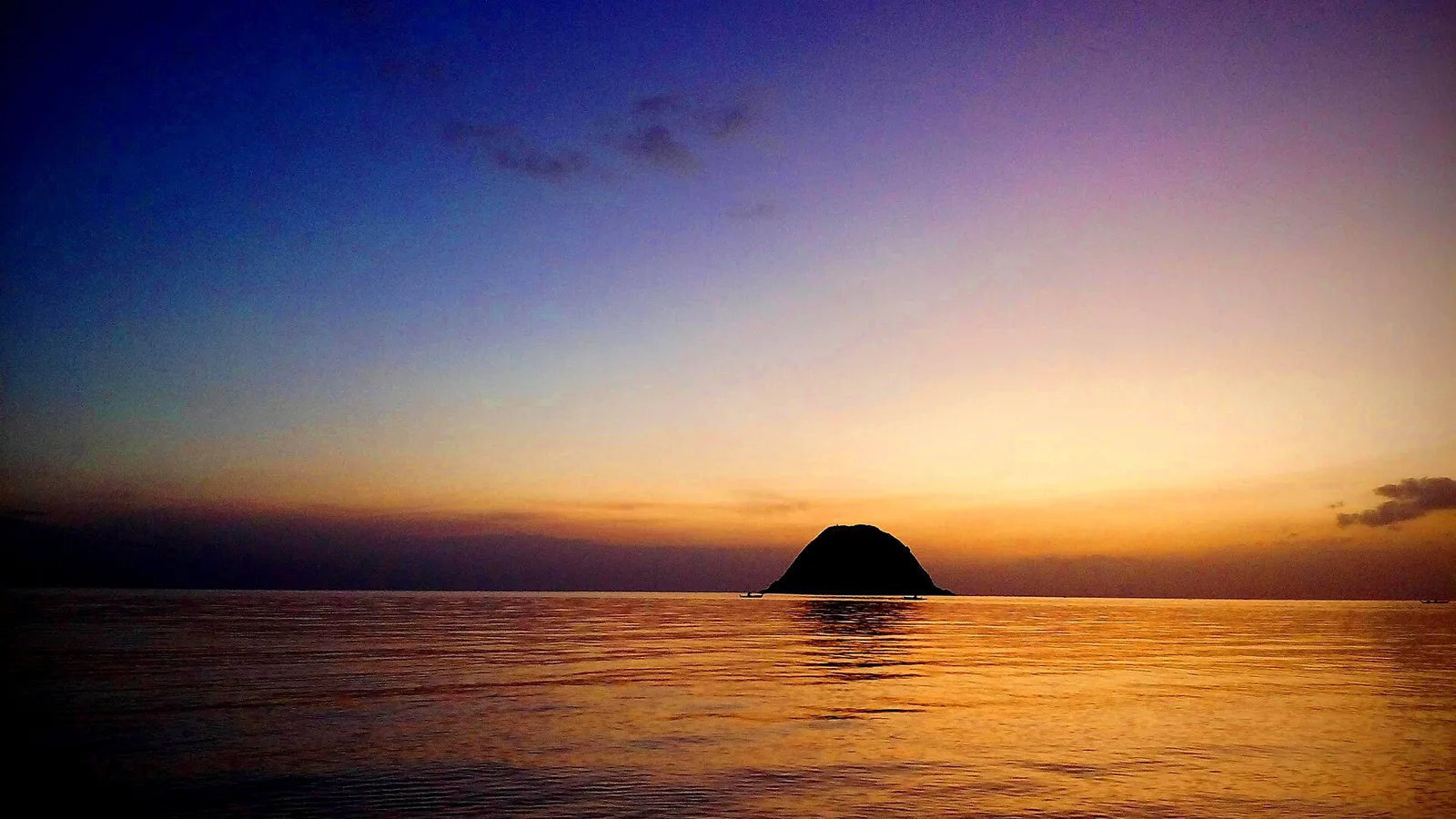
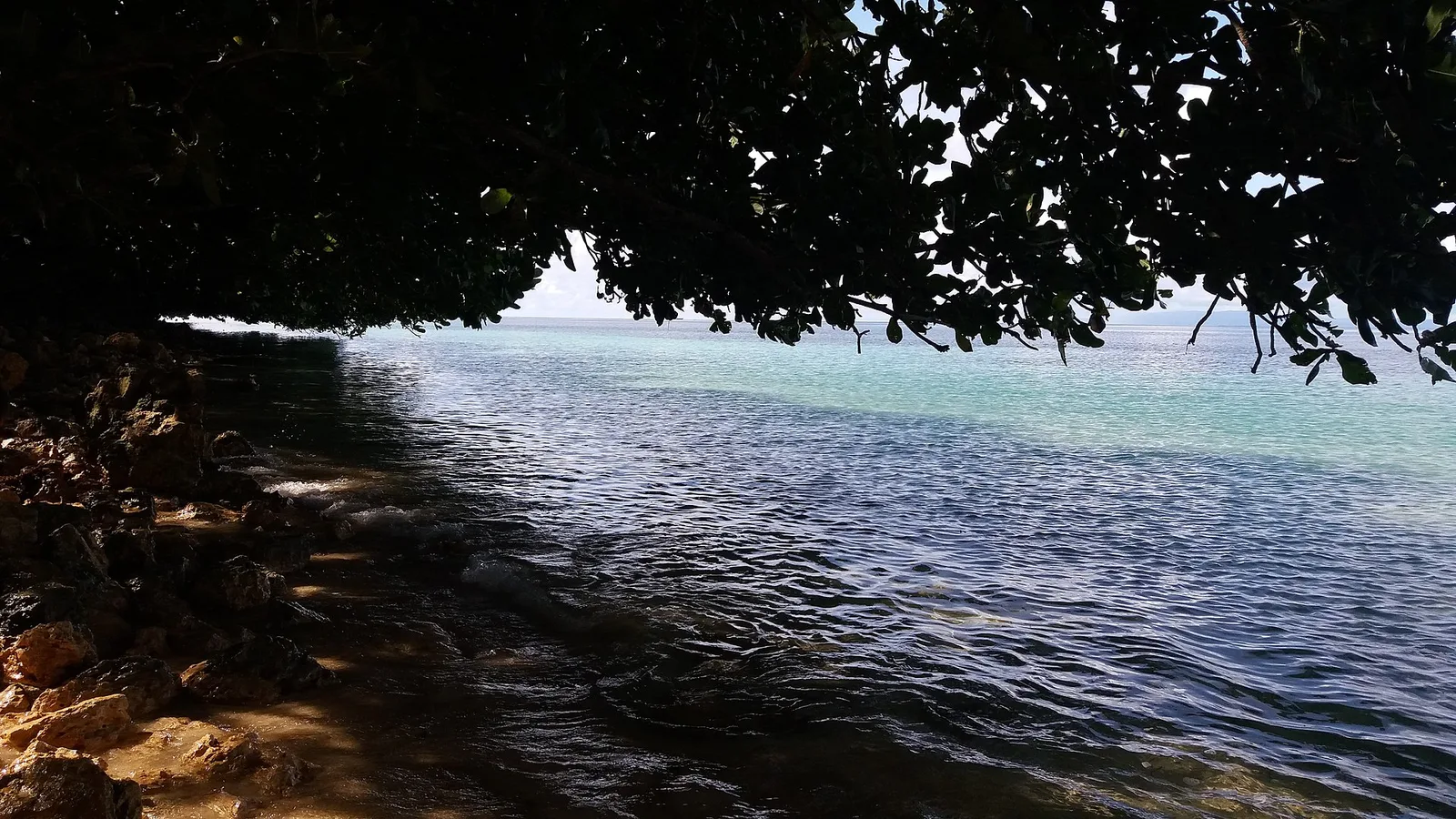
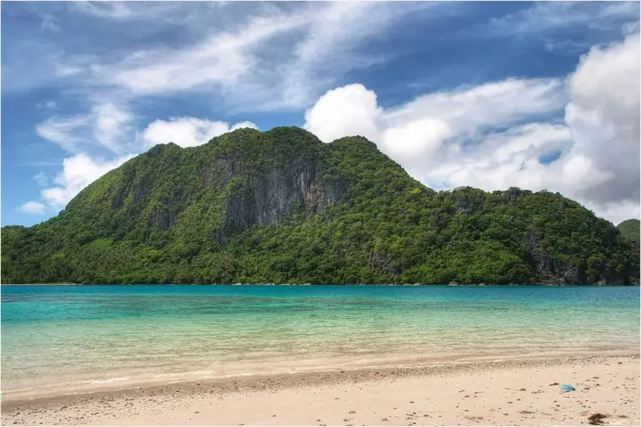
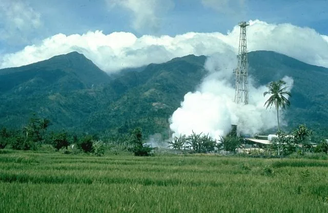
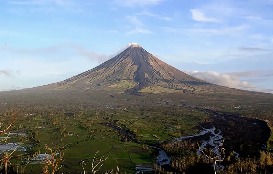
The coast of the Bicol Peninsula in southeastern Luzon is characterized by an extremely rugged and varied relief. Shaped by the region's volcanic activity (Mayon, Bulusan), it features steep capes, deep bays like the Lagonoy Gulf, and numerous volcanic islands. The relief is a mix of black volcanic sand beaches and white coral islands in the Pacific. Particularly striking is the Caramoan Peninsula with its steep limestone cliffs, reminiscent of the topography of El Nido. The coastal morphology is exposed to strong waves from the Pacific, which has led to impressive erosional forms and caves. This relief is not only scenic but also provides vital sanctuaries for a rich marine biodiversity and is a center for ecotourism.
- Location: Philippines
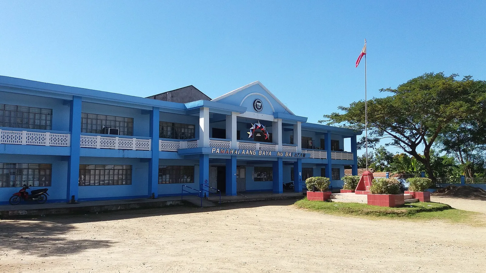
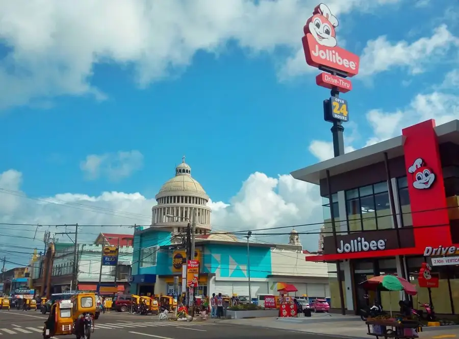
- Top sights: Mt. Asog Viewpoint · Mount Asog · Rizal Park
- Nearby: Pararao (32 km)
Best time to visit & climate
The most pleasant time to visit is Feb–Apr.
| Jan | Feb | Mar | Apr | May | Jun | Jul | Aug | Sep | Oct | Nov | Dec | |
|---|---|---|---|---|---|---|---|---|---|---|---|---|
| Avg °C | 25 | 25 | 26 | 27 | 28 | 28 | 27 | 27 | 27 | 27 | 27 | 26 |
| Rain mm | 340 | 233 | 213 | 124 | 189 | 214 | 272 | 204 | 278 | 357 | 425 | 553 |
📋 Practical info
Geography
Facts
- The region is known for its spicy cuisine, especially Bicol Express.
- Donsol is world-famous for its whale shark interaction tours.
- The peninsula is separated from Samar Island by the San Bernardino Strait.
- It is frequently affected by typhoons coming from the Pacific Ocean.
- Catanduanes province is nicknamed the 'Land of the Howling Winds'.
- The Bicol River is the largest river in the region.
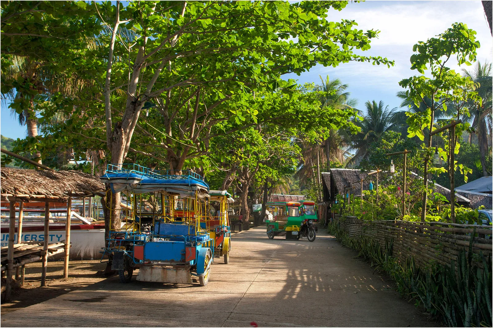
- The economy relies on agriculture, fishing, and tourism.
Explore nearby
Notable places around
Route planner — Car & Motorhome
Where do you start? We build the route here, with stops and country notes along the way.
© OpenStreetMap contributors · OpenRouteService
Sights in the town Bicol Peninsula Coast (7)
Sights nearby
Frequently asked questions
Which beaches are best for surfing?
How much time should I plan?
Is there typical local food?
Is getting there complicated?
Is the coast suitable for families?
Bicol Peninsula Coast: where is it located?
Bicol Peninsula Coast: what is there to see?
Bicol Peninsula Coast: when is the best time to visit?
Bicol Peninsula Coast: why is it worth visiting?

Nearby cities