Plizio Visual Lab
Caramoan Peninsula
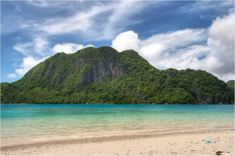
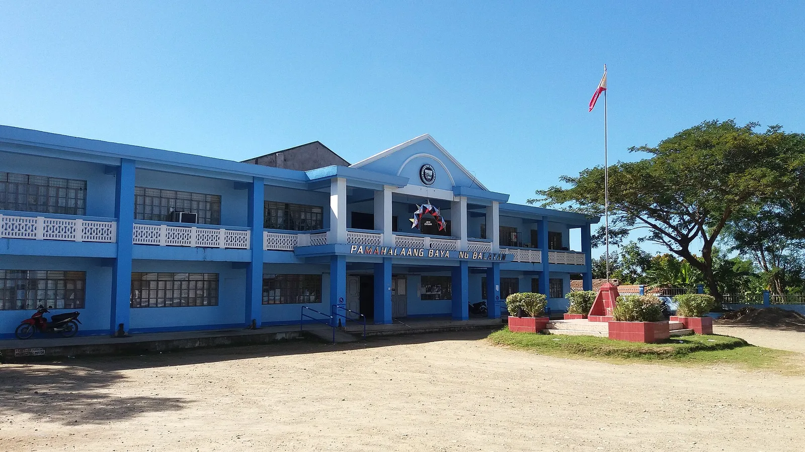
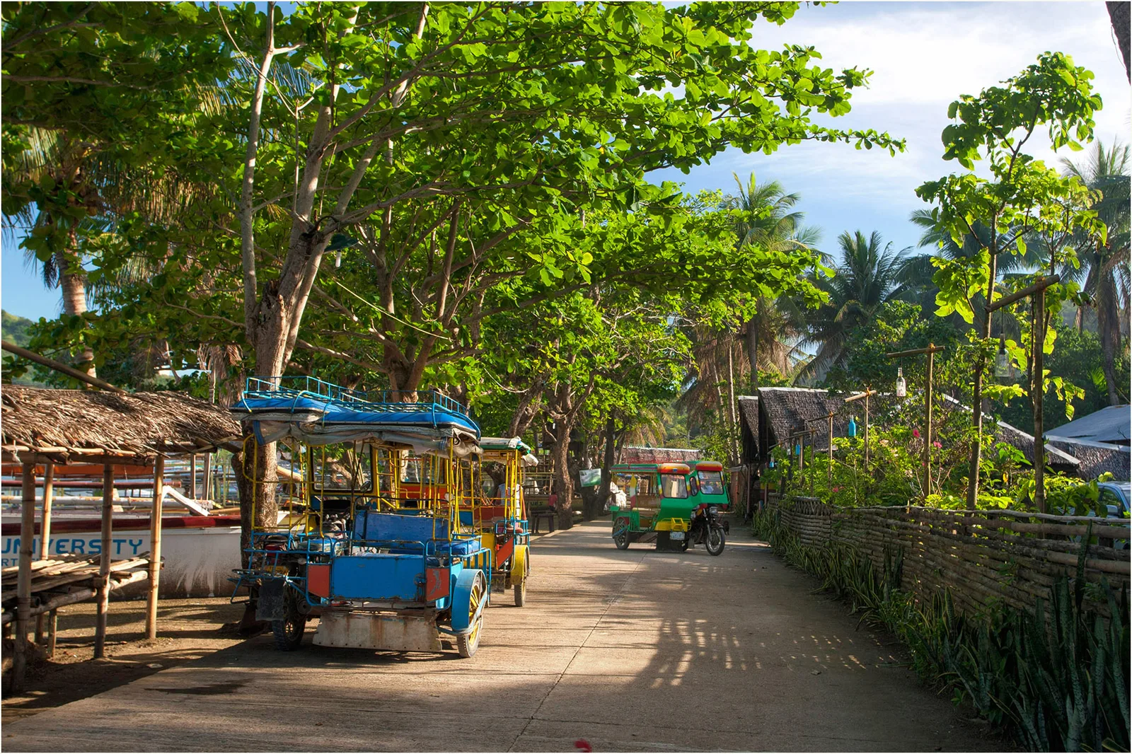
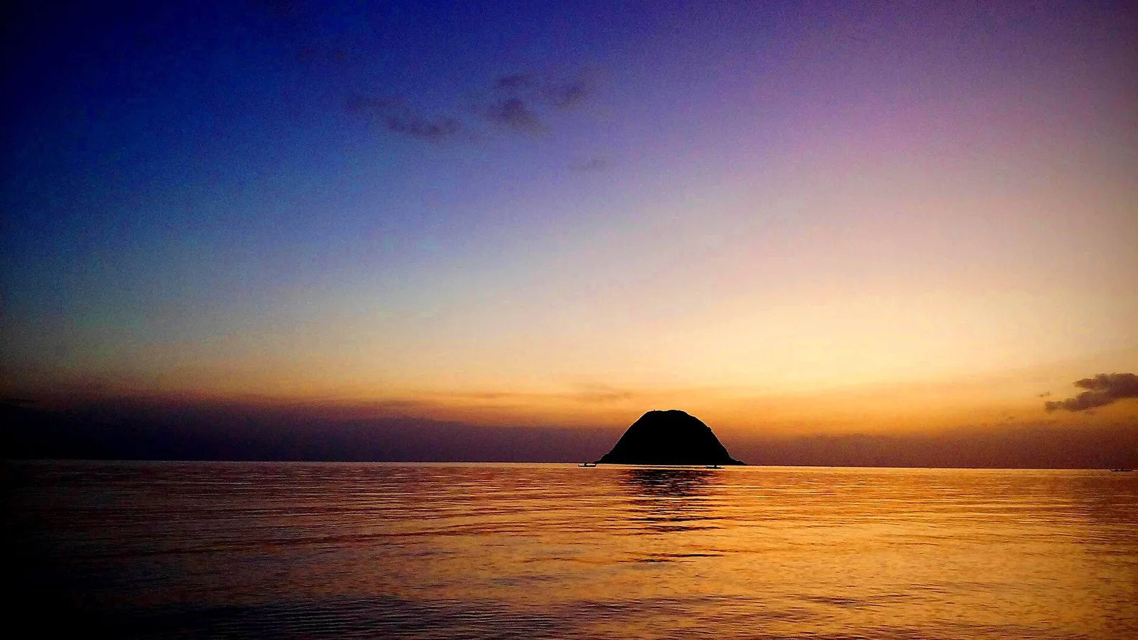
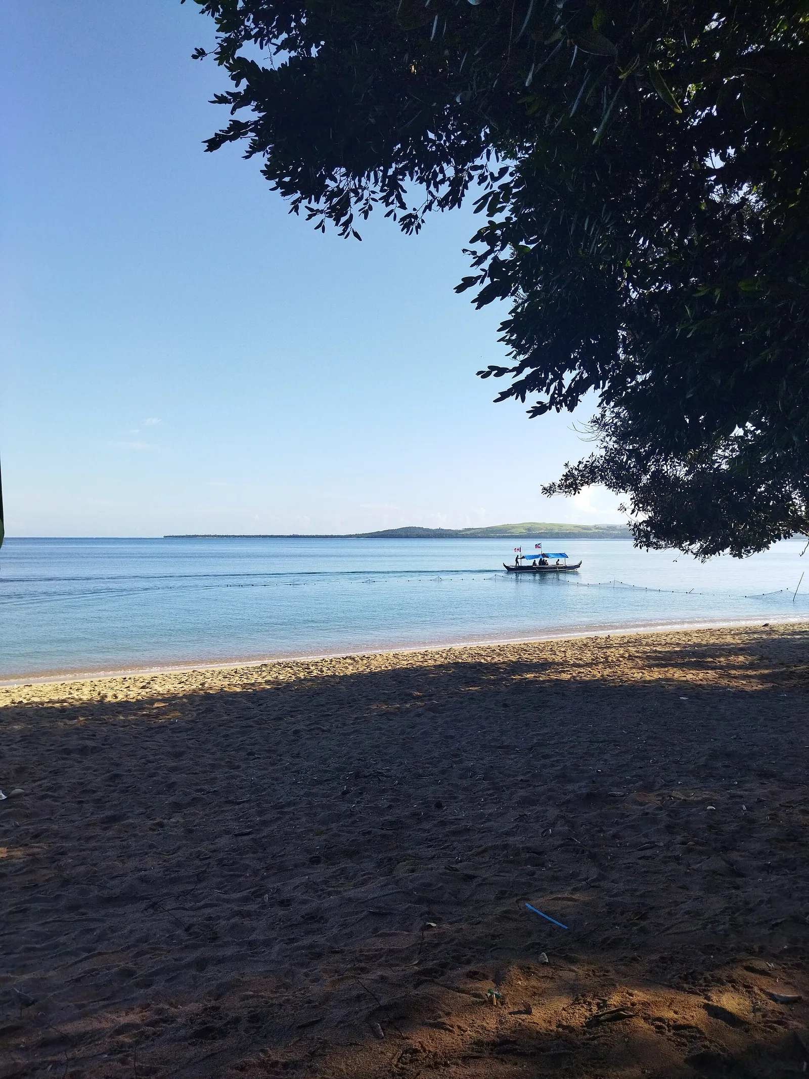
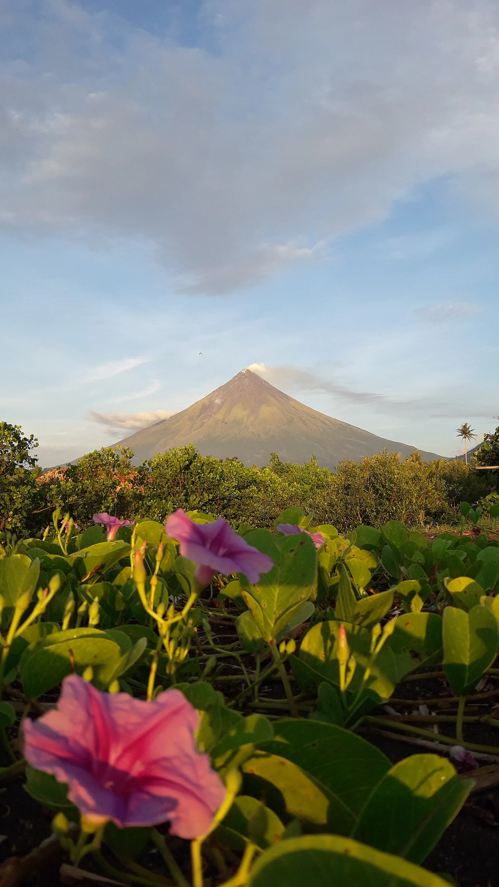
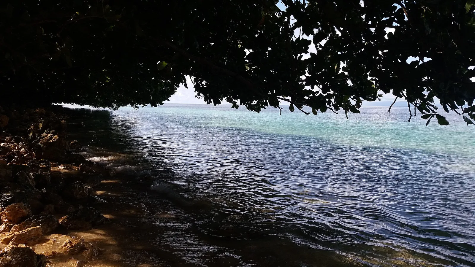
The relief of the Caramoan Peninsula in the northeastern province of Camarines Sur is a spectacular example of marine limestone karst. The topography is characterized by rugged, jungle-clad cliffs that rise hundreds of meters steeply from the azure Pacific. This geomorphological formation is very similar to the relief of El Nido in Palawan and harbors hidden lagoons, white sandy beaches, and complex cave systems. The underwater relief is characterized by deep channels and extensive coral banks. The peninsula is geographically isolated, which has contributed to the preservation of its wild and pristine character. Caramoan has become known worldwide as a filming location for the adventure show 'Survivor,' which underscores the exotic and challenging nature of its topography.
- Location: Philippines
- Top sights: Matukad Island · Enchanted Lagoon · Lahos Island
- Nearby: Panarayon (30 km)
Best time to visit & climate
The most pleasant time to visit is Mar–May.
| Jan | Feb | Mar | Apr | May | Jun | Jul | Aug | Sep | Oct | Nov | Dec | |
|---|---|---|---|---|---|---|---|---|---|---|---|---|
| Avg °C | 26 | 26 | 27 | 28 | 29 | 29 | 28 | 28 | 28 | 28 | 28 | 27 |
| Rain mm | 348 | 240 | 205 | 123 | 183 | 213 | 279 | 211 | 285 | 400 | 471 | 584 |
📋 Practical info
Geography
Facts
- The peninsula has been the filming location for multiple international seasons of 'Survivor'.
- It is known as 'the Philippines' last untouched paradise'.
- Access to many of its islands and beaches is only possible by boat.
- The limestone formations are over 20 million years old.
- Gota Cave is one of the most famous caves on the peninsula.
- The area is part of the Caramoan National Park.
- Its isolation has helped preserve its natural beauty.
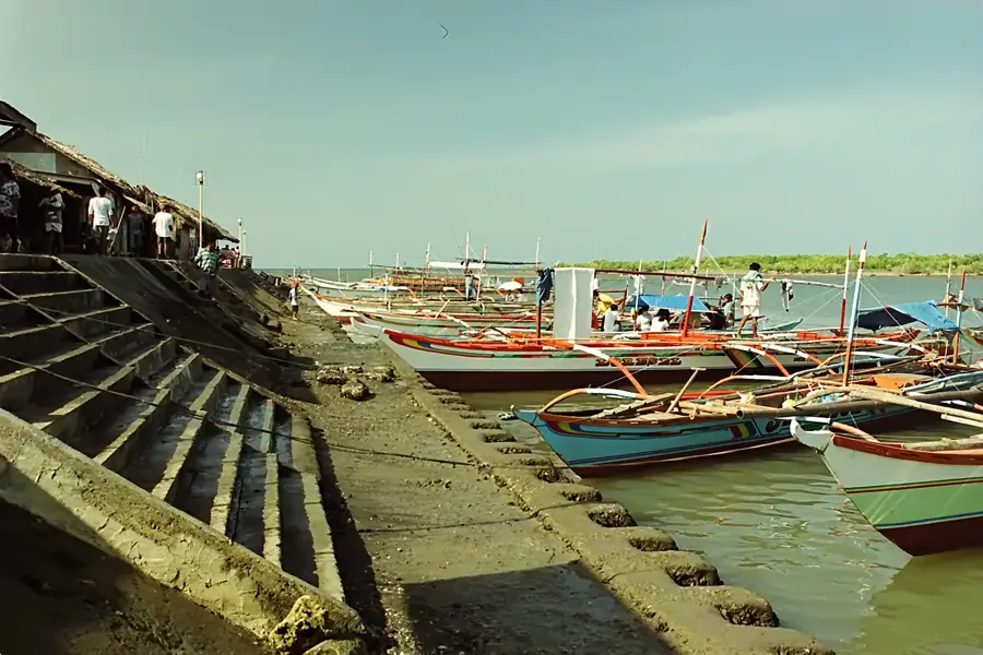
Explore nearby
Notable places around
Route planner — Car & Motorhome
Where do you start? We build the route here, with stops and country notes along the way.
© OpenStreetMap contributors · OpenRouteService
Sights in the town Caramoan Peninsula (8)
Sights nearby
Frequently asked questions
What is the highlight in Caramoan?
How to get there?
Is it suitable for diving?
When is the best time to visit?
Do I need a lot of cash?
Caramoan Peninsula: where is it located?
Caramoan Peninsula: what is there to see?
Caramoan Peninsula: when is the best time to visit?
Caramoan Peninsula: why is it worth visiting?

Nearby cities