Plizio Visual Lab
Wadi en-Nar
Weather…
Water temperature…
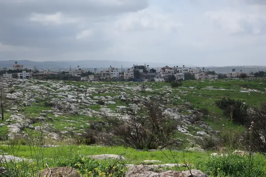
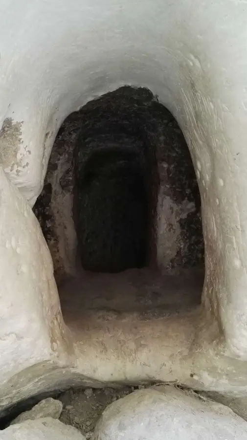
Wadi en-Nar, which translates to the 'Valley of Fire,' is the dramatic extension of Jerusalem’s Kidron Valley as it carves its way through the Judean Desert. This deep, winding gorge features sheer rocky cliffs that have been sculpted over millennia by extreme erosion. The valley acts as a natural conduit for seasonal rainwater traveling toward the Dead Sea. Perched precariously on its slopes is the historic Mar Saba Monastery, one of the oldest inhabited monasteries in the world, which blends seamlessly into the rocky environment. The geological formations within the wadi offer a stark and powerful visual of the desert's raw beauty. For those exploring the area, Wadi en-Nar provides a sense of isolation and grandeur, where the monumental scale of the limestone walls highlights the enduring impact of natural forces in this arid region.
- Location: Palestinian Territories
- Top sights: Magic Kass · Har Montar · Hurkania
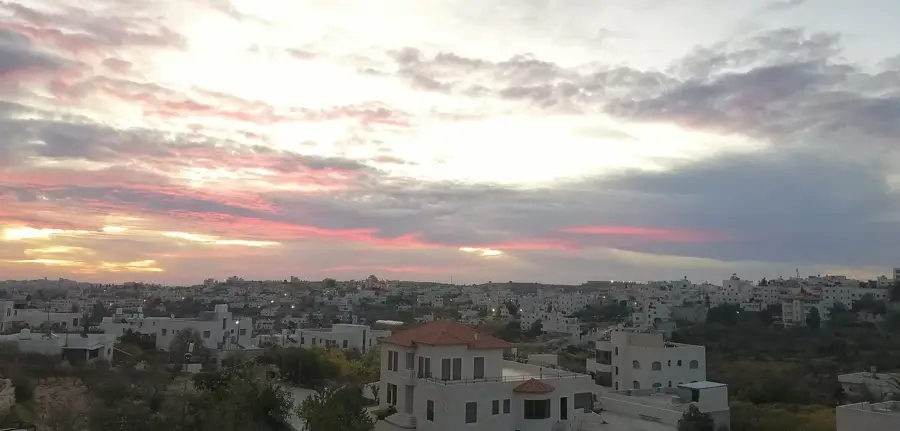
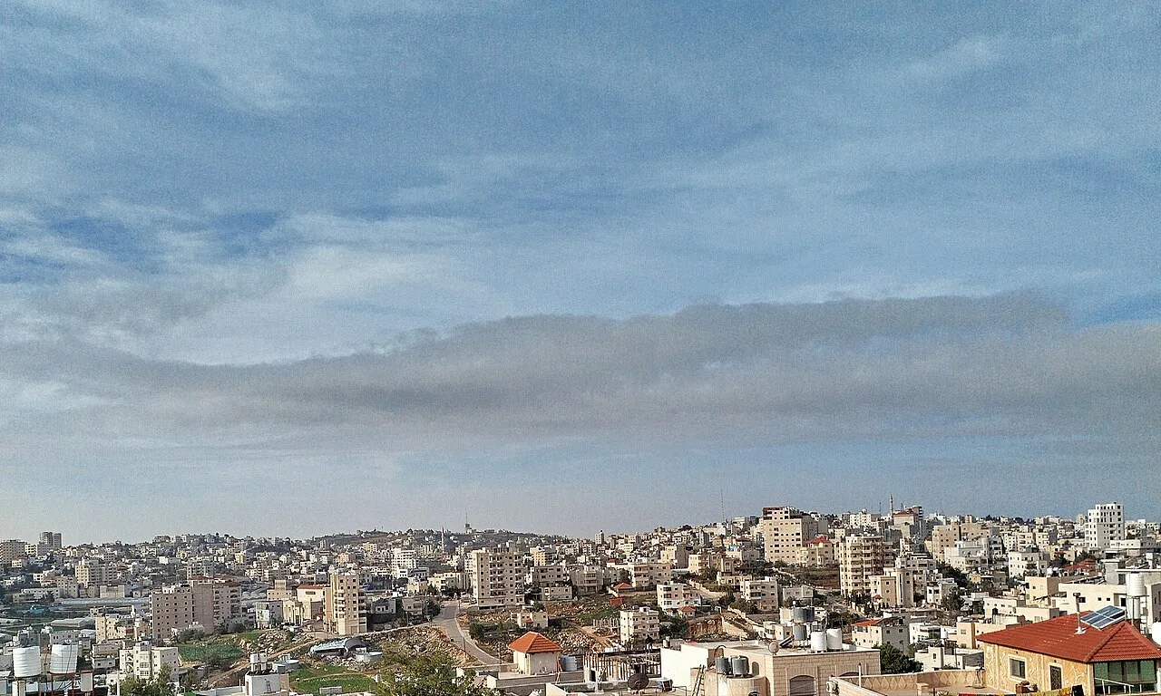
- Nearby: Abu Dis (9 km)
Best time to visit & climate
The most pleasant time to visit is Apr, Oct, Nov.
| Jan | Feb | Mar | Apr | May | Jun | Jul | Aug | Sep | Oct | Nov | Dec | |
|---|---|---|---|---|---|---|---|---|---|---|---|---|
| Avg °C | 12 | 14 | 17 | 21 | 26 | 29 | 30 | 30 | 28 | 25 | 19 | 14 |
| Rain mm | 47 | 42 | 23 | 11 | 5 | 0 | 0 | 1 | 1 | 6 | 20 | 33 |
📋 Practical info
Geography
Facts
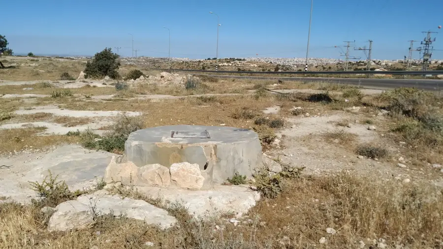
- The road through the wadi has extremely steep curves
- The valley eventually drains into the Dead Sea
- The name refers to the extreme heat during summer
- It is a strategic bottleneck passage in the region
- Mar Saba Monastery is perched above this valley
- Geologically, the area consists of massive limestone
Explore nearby
Notable places around
Route planner — Car & Motorhome
Where do you start? We build the route here, with stops and country notes along the way.
© OpenStreetMap contributors · OpenRouteService
Sights in the town Wadi en-Nar (5)
Sights nearby
Frequently asked questions
Is Wadi en-Nar a classic tourist destination?
Is the terrain safe?
Are there ecological features?
What is the climate like?
Should one go there alone?
Wadi en-Nar: where is it located?
Wadi en-Nar: what is there to see?
Wadi en-Nar: when is the best time to visit?
Wadi en-Nar: why is it worth visiting?

Nearby cities