Plizio Visual Lab
Baal-Hazor
Weather…
Water temperature…
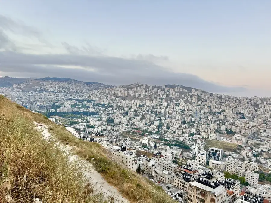
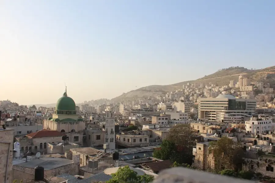
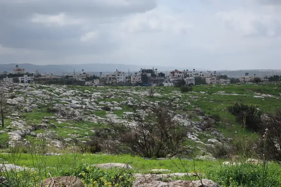
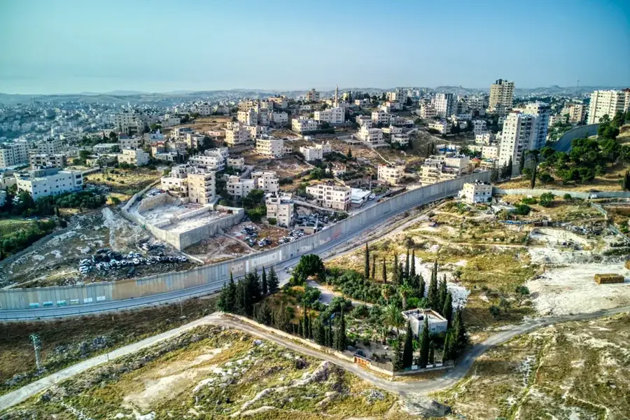
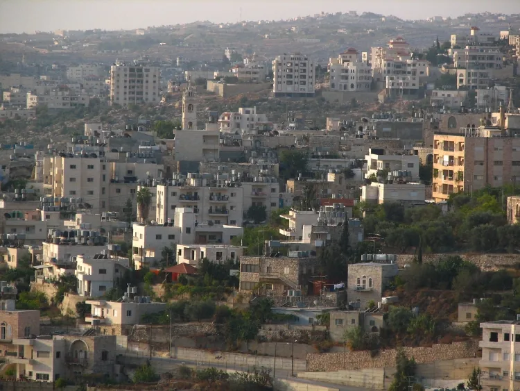
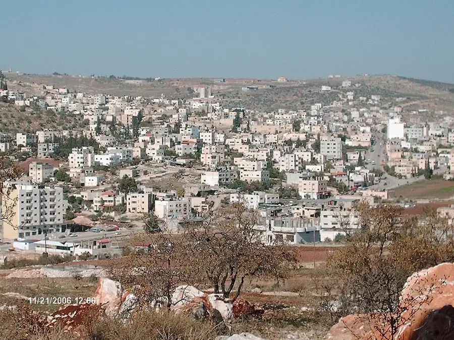
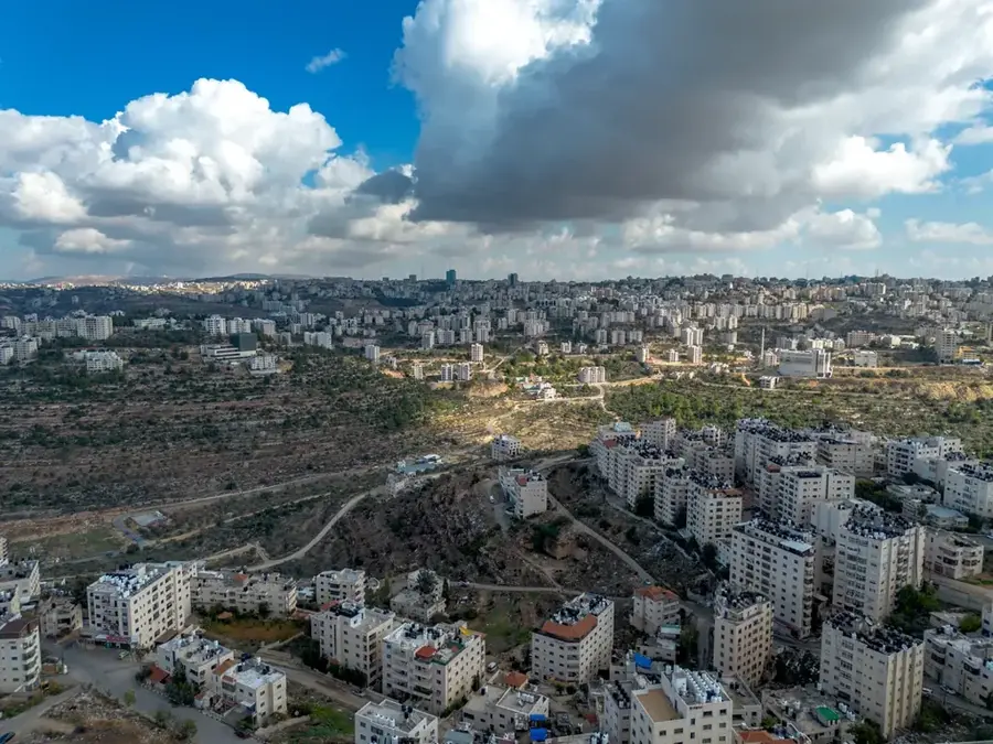
Baal-Hazor stands as the highest peak in the West Bank, rising to an elevation of 1,016 meters above sea level. Located approximately 10 kilometers north of Ramallah, it serves as a prominent landmark in the central highlands. The summit gives unparalleled panoramic views that, on clear days, stretch from the Mediterranean Sea in the west to the mountains of Moab across the Jordan Valley in the east. Historically, its strategic height has made it a significant observation post for various civilizations that controlled the region. The mountain is part of the Judean mountain range, composed largely of durable limestone that defines the local topography. While the peak itself is rugged, the surrounding slopes feature traditional agricultural terraces, olive groves, and small pockets of Mediterranean forest. As the literal ceiling of the West Bank, Baal-Hazor is not only a geographical milestone but also a place of great natural beauty, providing a unique vantage point over the diverse landscapes of central Palestine.
- Location: Palestinian Territories
- Top sights: Burj Barduil · Flagstones valley · Khirbet Tarafayn
- Nearby: Jalazone (5 km)
Best time to visit & climate
The most pleasant time to visit is May, Jun, Oct.
| Jan | Feb | Mar | Apr | May | Jun | Jul | Aug | Sep | Oct | Nov | Dec | |
|---|---|---|---|---|---|---|---|---|---|---|---|---|
| Avg °C | 11 | 12 | 15 | 18 | 22 | 25 | 27 | 27 | 26 | 23 | 18 | 14 |
| Rain mm | 88 | 62 | 37 | 21 | 5 | 1 | 1 | 0 | 2 | 14 | 46 | 83 |
📋 Practical info
Geography
Facts
- Elevation of 1,016 meters above sea level
- Highest mountain in the entire West Bank
- Located northeast of Ramallah near Silwad
- Frequent snowfall during winter months
- Composed mainly of Upper Cretaceous rocks
- Biblical mention in connection with Absalom
Explore nearby
Notable places around
Route planner — Car & Motorhome
Where do you start? We build the route here, with stops and country notes along the way.
© OpenStreetMap contributors · OpenRouteService
Sights in the town Baal-Hazor (6)
Sights nearby
Frequently asked questions
Is the peak of Baal-Hazor easily accessible?
Can one climb the peak at any time?
Is special equipment needed?
How long does the hike take?
Does the peak offer shelter in bad weather?
Baal-Hazor: where is it located?
Baal-Hazor: what is there to see?
Baal-Hazor: when is the best time to visit?
Baal-Hazor: why is it worth visiting?

Nearby cities