Plizio Visual Lab
Jebel Juhar

Weather…
Water temperature…
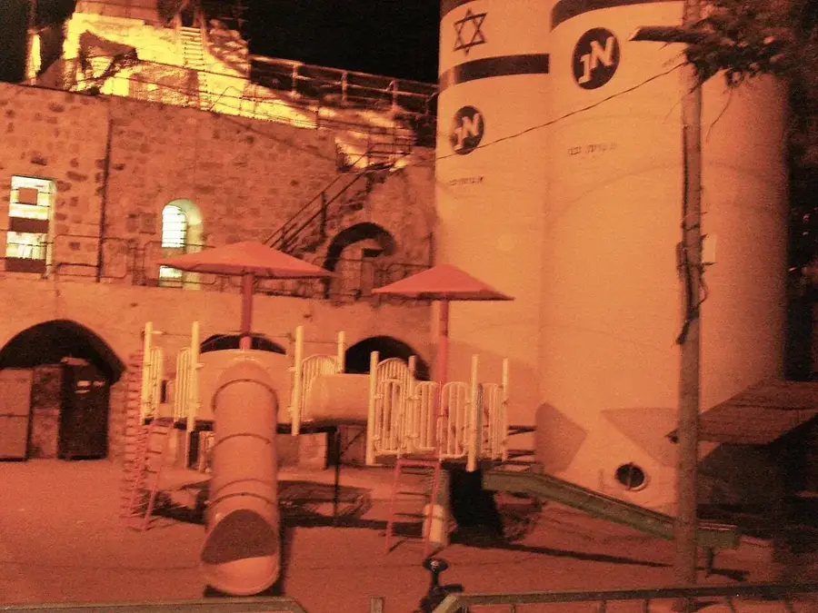
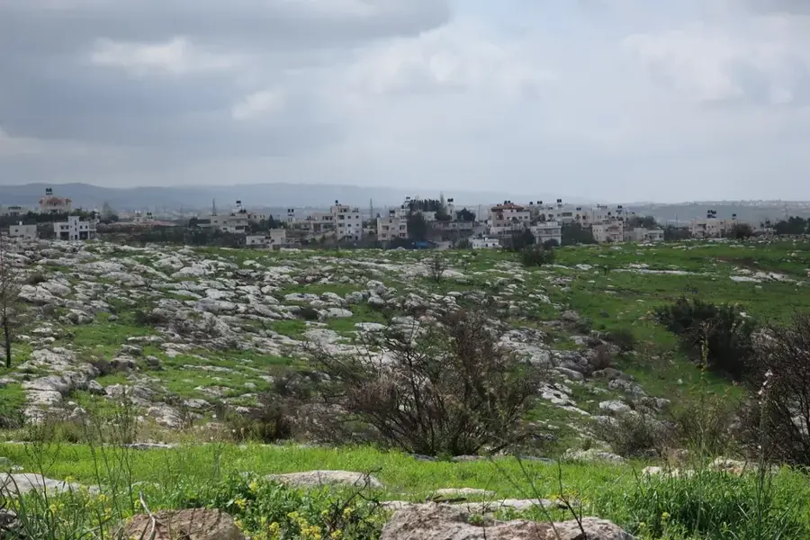
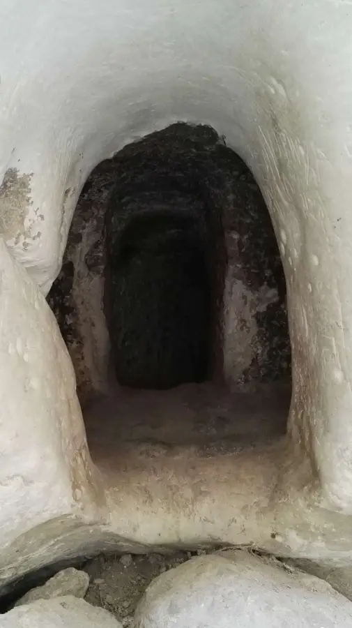
Jebel Juhar is the preeminent peak of the Hebron district, marking the highest elevation in the southern West Bank. Rising over 1,000 meters above sea level, it forms a central part of the Judean highland spine. The peak's topography is defined by its rugged, rocky limestone terrain and sparse Mediterranean flora, adapted to the harsh conditions of high altitude. Because of its height, Jebel Juhar experiences a distinct mountain climate, with winters often bringing freezing temperatures and occasional snowfall, a rarity in the broader region. The summit gives strategic panoramic views across the central highlands and down toward the Judean Desert, serving as a vital geographic landmark for centuries. For those interested in the physical geography of Palestine, Jebel Juhar represents the pinnacle of the region's mountainous relief and provides a unique perspective on the area's climate and topography.
- Location: Palestinian Territories
- Top sights: Tel Zif · Aristobuliya · Khirbet Umm Lasafa
- Nearby: Bani Na'im (5 km)
Best time to visit & climate
The most pleasant time to visit is Apr, May, Oct.
| Jan | Feb | Mar | Apr | May | Jun | Jul | Aug | Sep | Oct | Nov | Dec | |
|---|---|---|---|---|---|---|---|---|---|---|---|---|
| Avg °C | 10 | 12 | 15 | 18 | 22 | 25 | 27 | 27 | 25 | 22 | 17 | 12 |
| Rain mm | 59 | 42 | 27 | 15 | 4 | 0 | 1 | 0 | 2 | 12 | 31 | 48 |
📋 Practical info
Geography
Facts
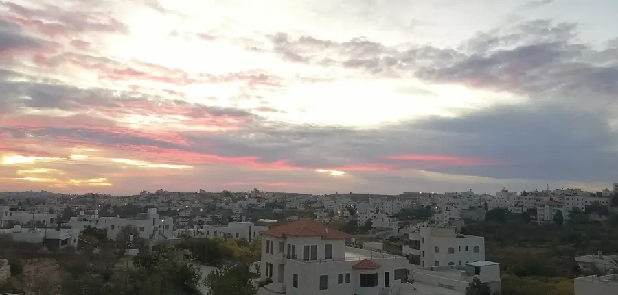
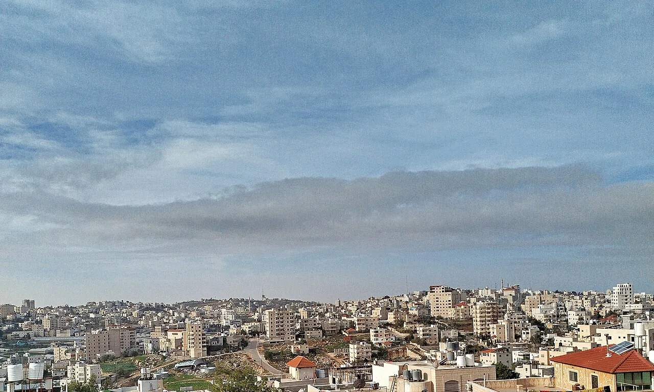
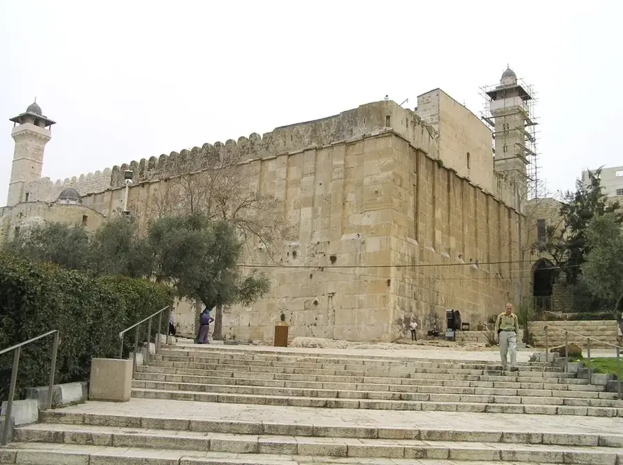
- Located within the southern urban limits of Hebron.
- Situated at an average elevation of about 900 meters.
- The terrain is characterized by steep alleys and stairs.
- Geologically part of the Hebron Anticline structure.
- The region has been inhabited since the Chalcolithic period.
- Offers a wide view over the Old City of Hebron.
Explore nearby
Notable places around
Route planner — Car & Motorhome
Where do you start? We build the route here, with stops and country notes along the way.
© OpenStreetMap contributors · OpenRouteService
Sights in the town Jebel Juhar (6)
Sights nearby
Frequently asked questions
Is Jebel Juhar a peak for tourists?
Is special equipment needed?
How is the surroundings?
Are there accommodations?
Is navigation difficult?
Jebel Juhar: where is it located?
Jebel Juhar: what is there to see?
Jebel Juhar: when is the best time to visit?
Jebel Juhar: why is it worth visiting?

Nearby cities