Plizio Visual Lab
Battir Cultural Landscape
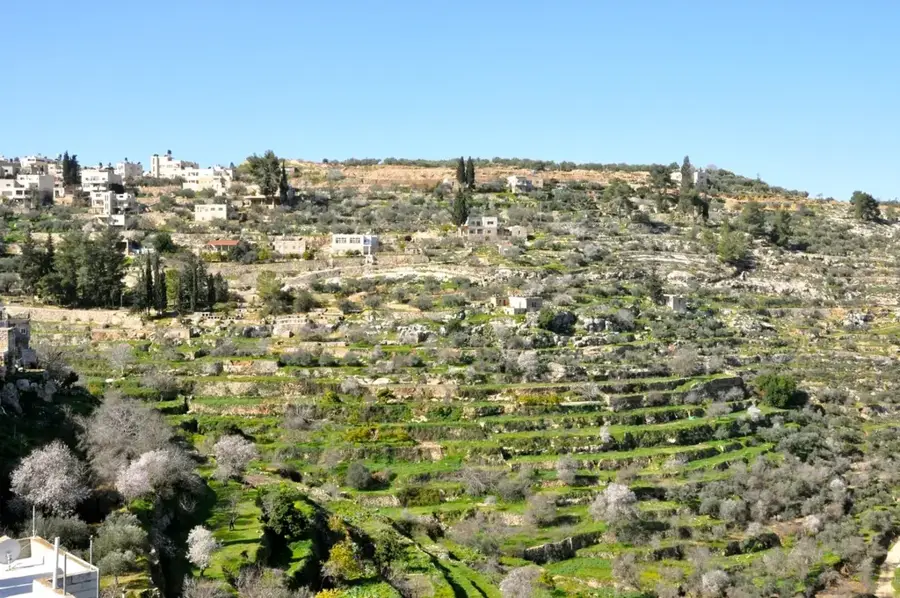
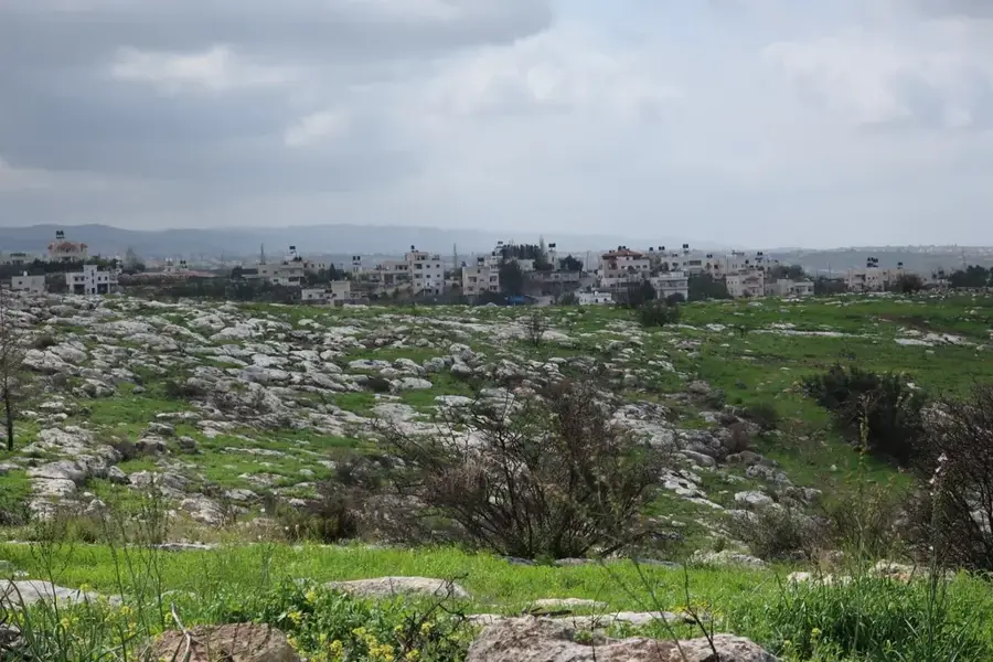
The cultural landscape of Battir, located southwest of Bethlehem, was designated a UNESCO World Heritage site in 2014 in recognition of its extraordinary agricultural and historical significance. At its core are the thousands of hand-built dry-stone terraces that cascade down the steep hillsides, supported by walls constructed without mortar over several millennia. Central to this landscape's survival is an ancient irrigation system, likely dating back to the Roman era, which utilizes a complex network of stone channels to distribute spring water across the fields. This communal water management tradition remains active today, with families adhering to a strict historical schedule. The terraces are primarily dedicated to the cultivation of olives and grapes, which have defined the region's diet and economy for generations. Beyond its agricultural utility, Battir serves as a vital ecological sanctuary, with its stone structures providing a habitat for diverse endemic flora and fauna. The valley represents a profound harmony between human ingenuity and the natural environment, preserved as a living testament to Palestinian agrarian heritage.
- Location: Palestinian Territories
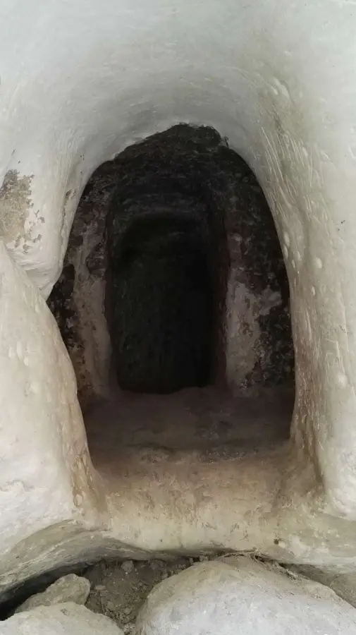
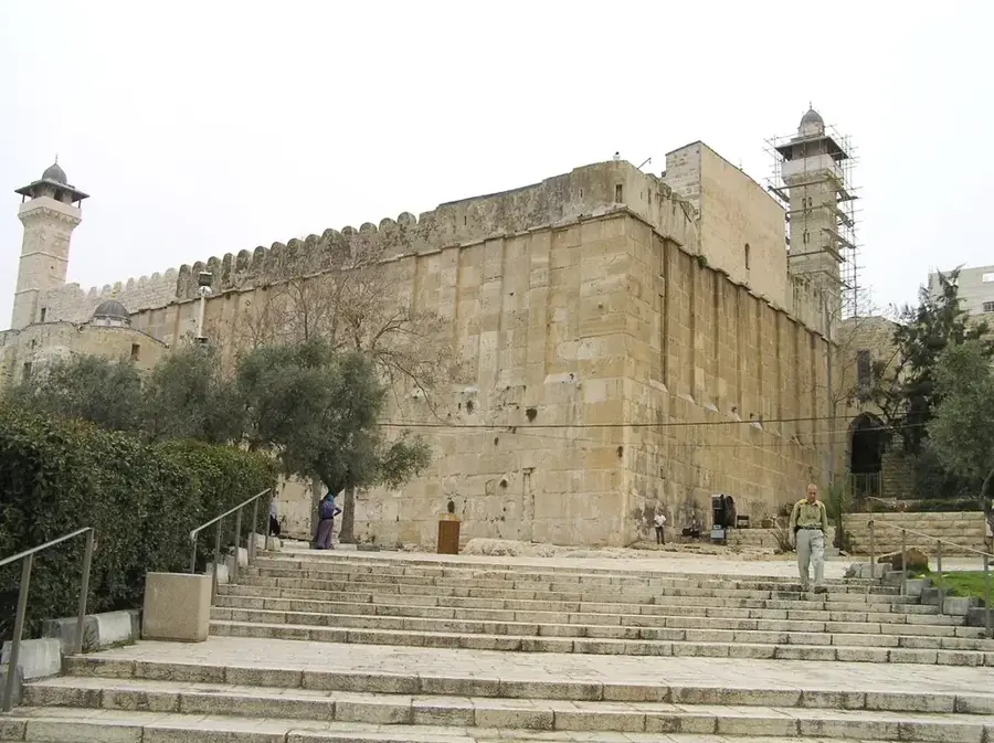
- Top sights: Al-Hadafeh water spring · Ein Sapir · Al-Hariq Mosque
- Nearby: Beit Jala (6 km)
Best time to visit & climate
The most pleasant time to visit is Apr, May, Oct.
| Jan | Feb | Mar | Apr | May | Jun | Jul | Aug | Sep | Oct | Nov | Dec | |
|---|---|---|---|---|---|---|---|---|---|---|---|---|
| Avg °C | 10 | 12 | 15 | 18 | 22 | 25 | 27 | 27 | 25 | 22 | 17 | 12 |
| Rain mm | 59 | 42 | 27 | 15 | 4 | 0 | 1 | 0 | 2 | 12 | 31 | 48 |
📋 Practical info
Geography
Facts
- Battir was named a UNESCO World Heritage site in 2014.
- The irrigation system utilizes seven different springs.
- Some stone walls on the terraces are 2,000 years old.
- Primary crops include olives, grapes, and the famous Battir eggplant.
- The settlement is located on the historic Jaffa-Jerusalem railway.
- Water is distributed among families via a traditional time-sharing system.
Explore nearby
Notable places around
Route planner — Car & Motorhome
Where do you start? We build the route here, with stops and country notes along the way.
© OpenStreetMap contributors · OpenRouteService
Sights in the town Battir Cultural Landscape (3)
Sights nearby
Frequently asked questions
Why are the Battir terraces world-famous?
What is the best way to explore Battir?
Are there guided tours?
Is it a family-friendly destination?
When is the harvest time?
Battir Cultural Landscape: where is it located?
Battir Cultural Landscape: what is there to see?
Battir Cultural Landscape: when is the best time to visit?
Battir Cultural Landscape: why is it worth visiting?

Nearby cities