Plizio Visual Lab
Makran Coast
Weather…
Water temperature…
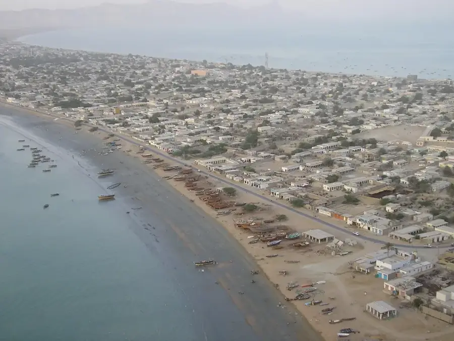
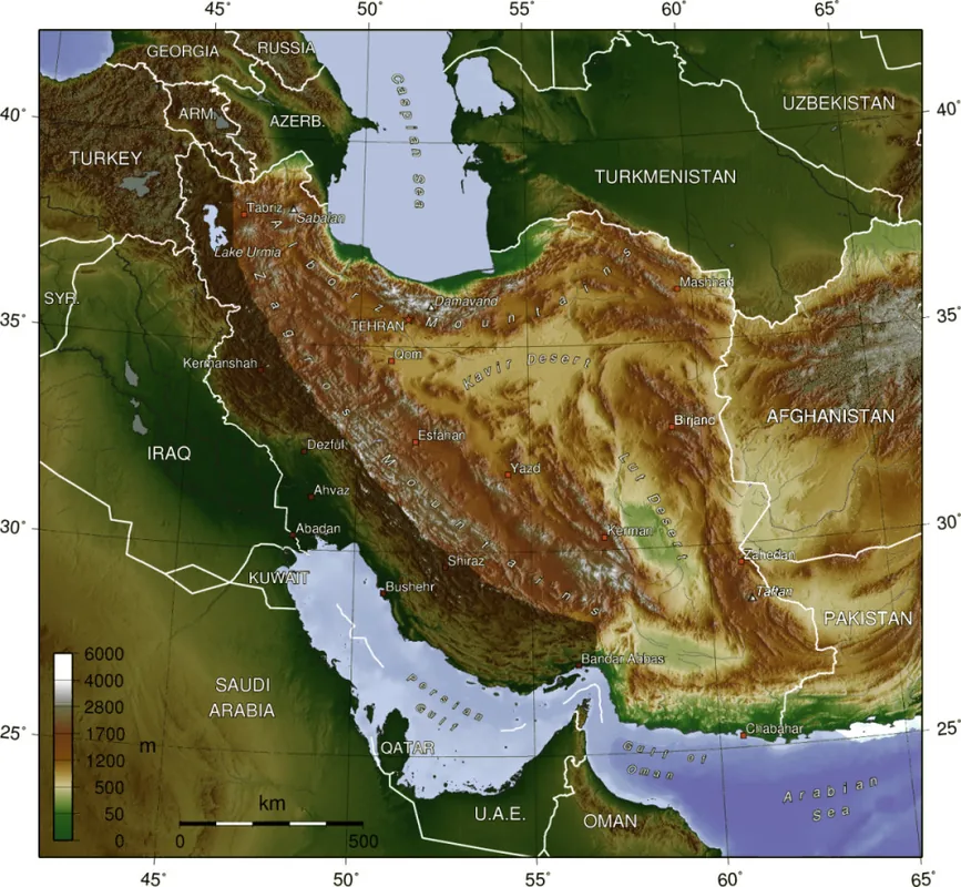
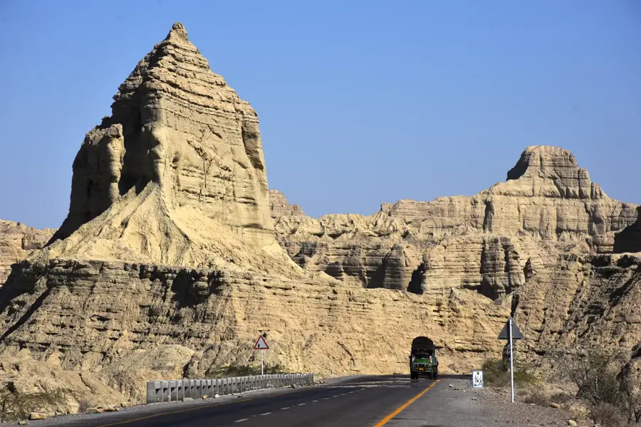
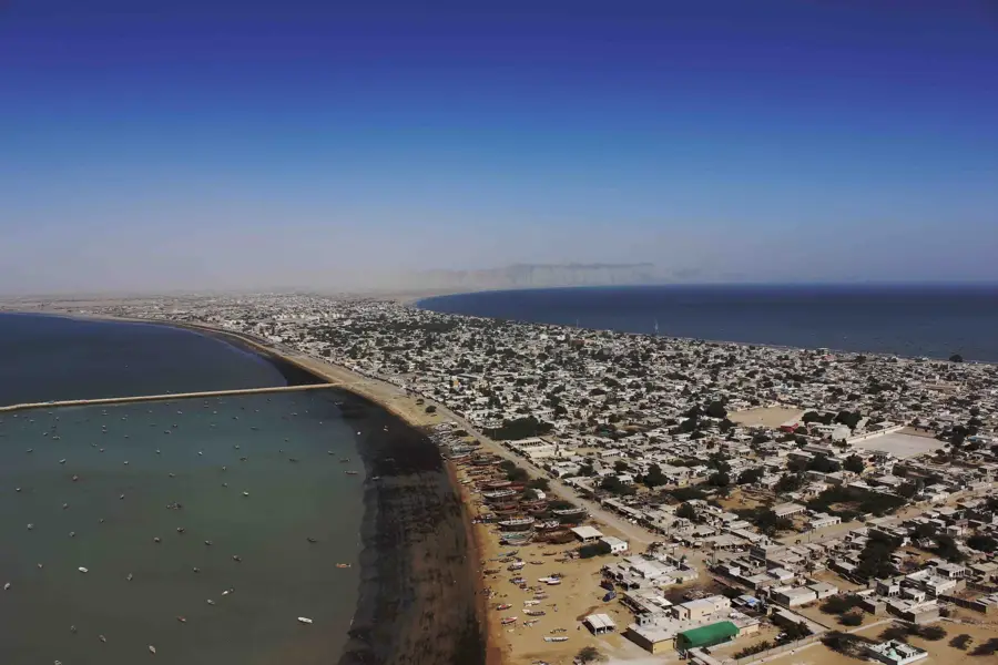
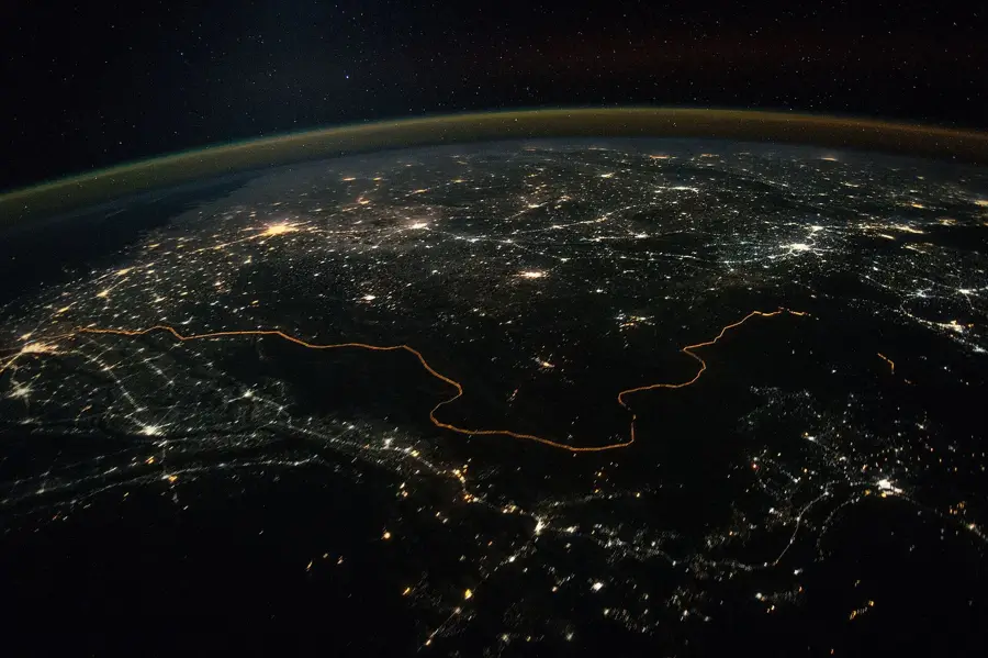
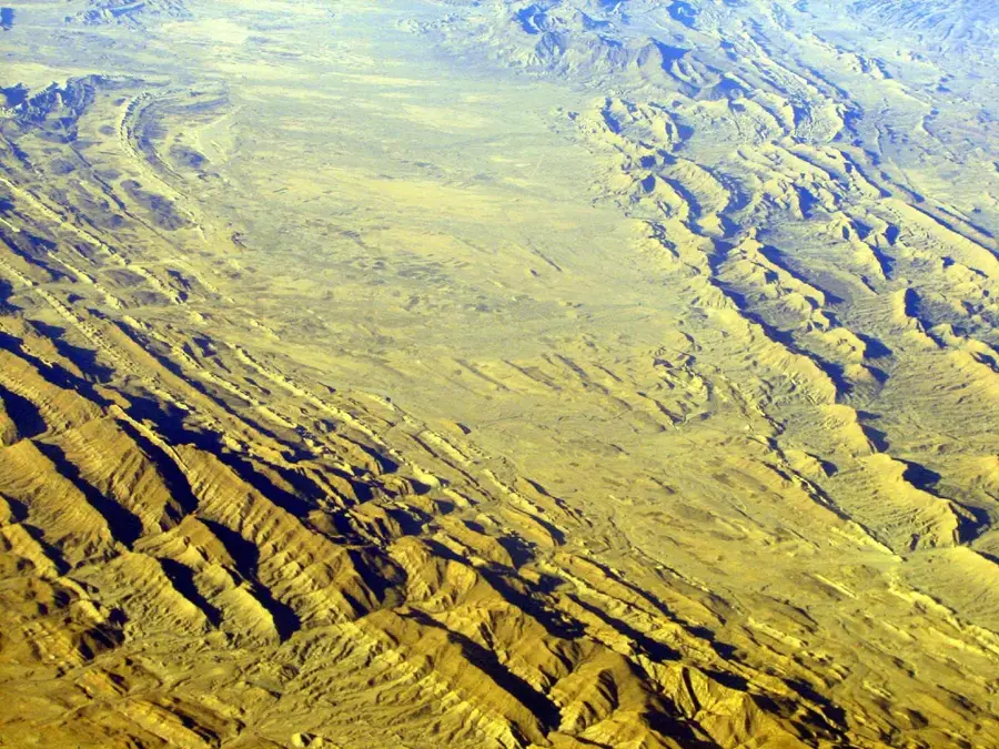
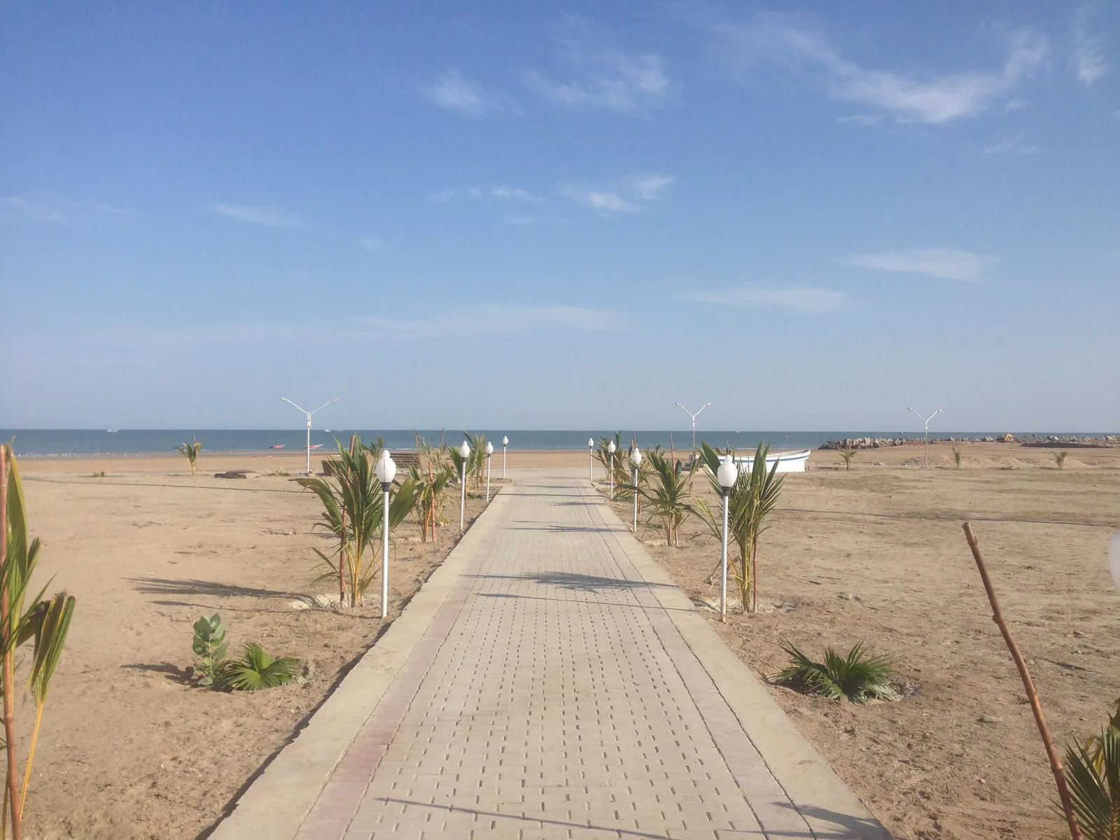
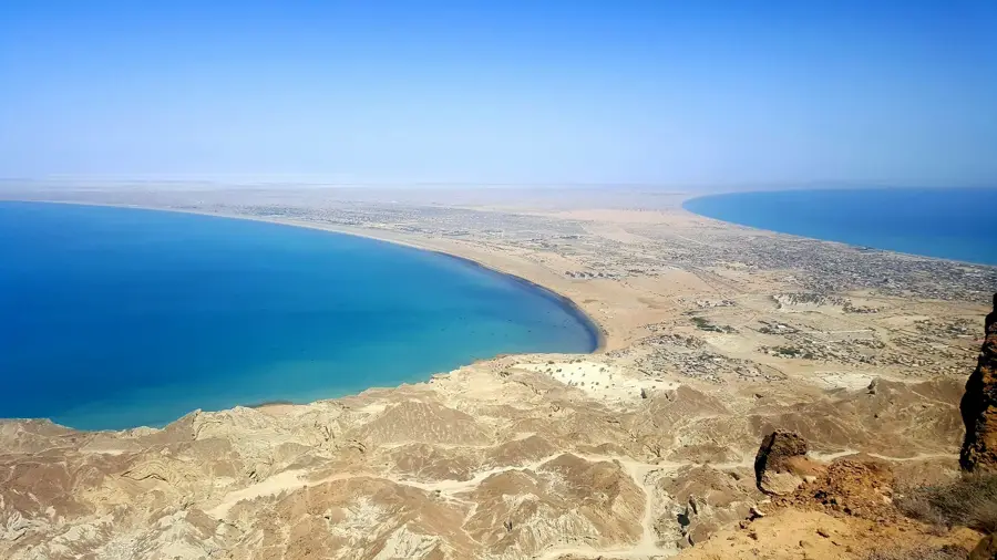
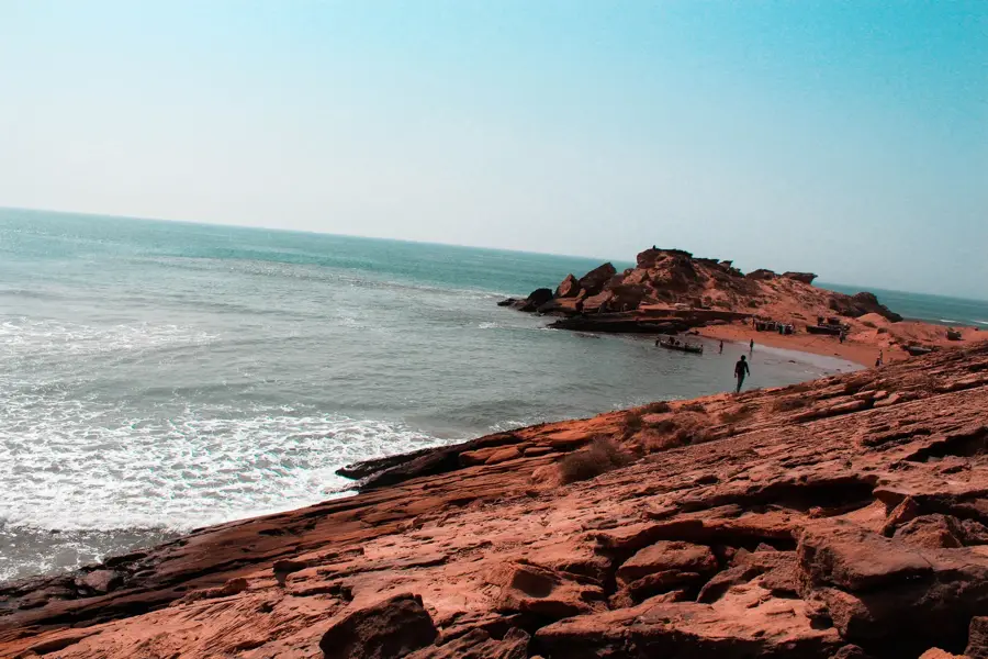
The Makran Coast stretches for over 1,000 kilometers along the Arabian Sea, encompassing parts of Pakistan and Iran. The Pakistani section in Balochistan is known for its dramatic landscape of cliffs, sandy beaches, and unique rock formations like the 'Princess of Hope' rock. The coast is home to several important ports, including Gwadar, which is being strategically developed as a deep-sea port. The region has a rich history dating back to ancient civilizations and was an important node on the maritime silk roads. The coastal waters are rich in marine life, making fishing a vital livelihood for the local communities. The region also features several mud volcanoes, including the Chandragup complex, which is a sacred site for Hindus.
- Location: Pakistan
- Nearby: Pasni (59 km)
Best time to visit & climate
The most pleasant time to visit is Jan, Feb, Dec.
| Jan | Feb | Mar | Apr | May | Jun | Jul | Aug | Sep | Oct | Nov | Dec | |
|---|---|---|---|---|---|---|---|---|---|---|---|---|
| Avg °C | 22 | 22 | 24 | 26 | 28 | 29 | 28 | 27 | 27 | 27 | 26 | 23 |
| Rain mm | 13 | 5 | 6 | 2 | 3 | 17 | 13 | 9 | 2 | 2 | 3 | 7 |
📋 Practical info
Geography
Facts
- Alexander the Great marched through the Makran region in 325 BC.
- The port of Gwadar is a key project of the China-Pakistan Economic Corridor (CPEC).
- The coast is a significant nesting ground for the green sea turtle.
- The 'Princess of Hope' was named by Angelina Jolie during a visit.
- Astola Island is Pakistan's largest offshore island and a marine protected area.
- The region is seismically active and prone to tsunamis.
- The mud volcanoes are a rare geological phenomenon.
Explore nearby
Notable places around
Route planner — Car & Motorhome
Where do you start? We build the route here, with stops and country notes along the way.
© OpenStreetMap contributors · OpenRouteService
Sights nearby
Frequently asked questions
What makes the coast special?
Are there beaches here?
How long is the drive from Karachi?
Can the Princess of Hope rock be seen?
Can you camp here?
Makran Coast: where is it located?
Makran Coast: when is the best time to visit?
Makran Coast: why is it worth visiting?

Nearby cities
History & landmarks

More places