Plizio Visual Lab
Gaustatoppen
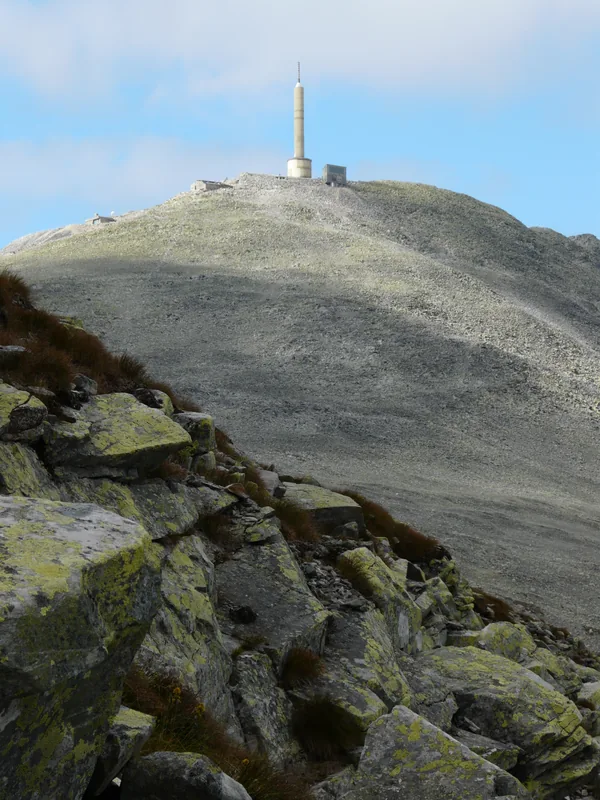
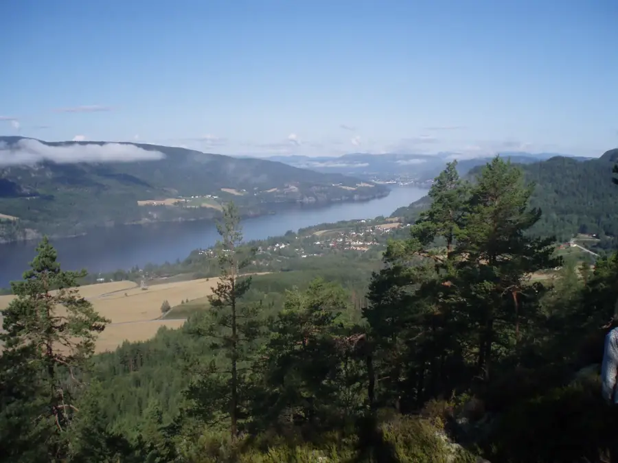
Gaustatoppen, standing at 1,883 meters, is the highest peak in Telemark county and is widely regarded as offering the most expansive view in Norway. On exceptionally clear days, it is possible to see one-sixth of Norway's total mainland area from the summit, reaching as far as the Swedish border and the coast. A unique feature of the mountain is the Gaustabanen, an underground funicular built deep inside the rock during the Cold War to transport military personnel to a radio station at the top. Today, this railway is a popular tourist attraction, allowing visitors to reach the summit plateau without a strenuous climb. Geologically, the mountain is composed of hard quartzite, which has resisted erosion more effectively than the surrounding landscape. Gaustatoppen is also a premier destination for freeride skiing in winter, famous for its steep and challenging chutes. The hiking trail from Stavsro is well-marked and typically takes two to three hours to complete.
- Location: Norway
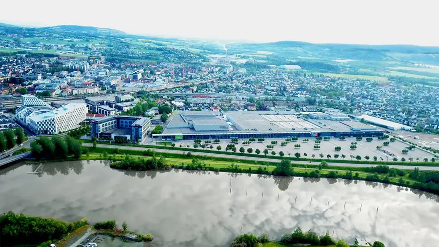
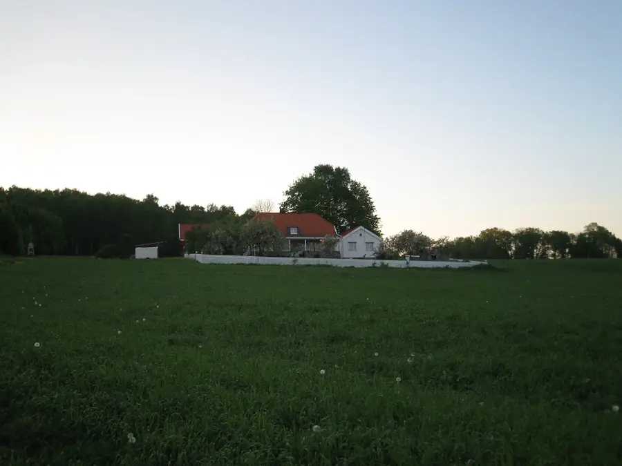
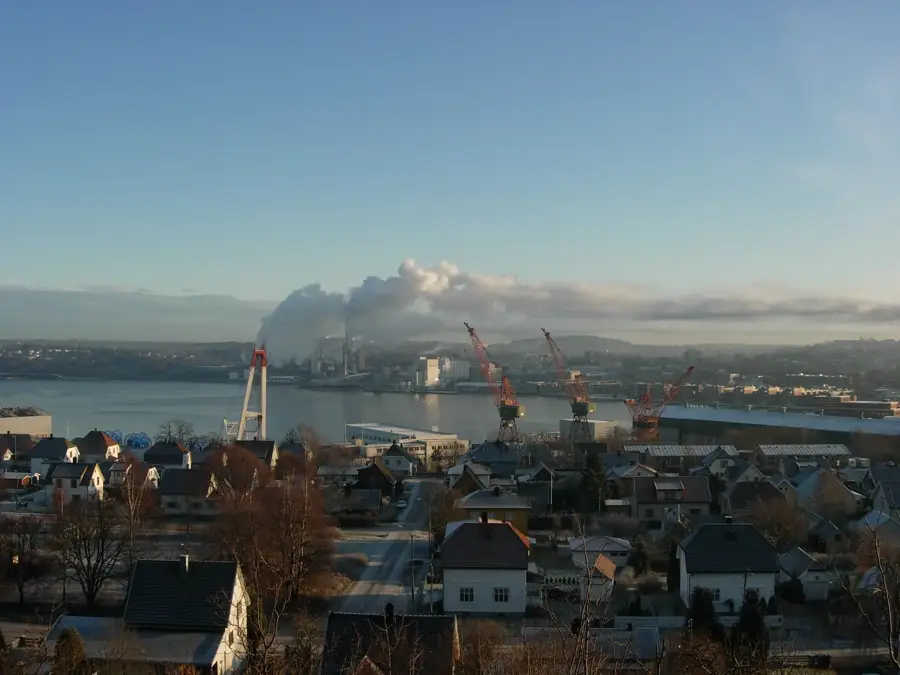
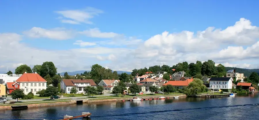
- Top sights: Gausdalen Nature Reserve · Tinn museum · Gaustatoppen
- Nearby: Dalen (58 km)
Best time to visit & climate
The most pleasant time to visit is Jun–Aug.
| Jan | Feb | Mar | Apr | May | Jun | Jul | Aug | Sep | Oct | Nov | Dec | |
|---|---|---|---|---|---|---|---|---|---|---|---|---|
| Avg °C | -8 | -8 | -5 | 0 | 5 | 10 | 13 | 11 | 7 | 1 | -4 | -7 |
| Rain mm | 80 | 59 | 59 | 69 | 107 | 118 | 146 | 137 | 111 | 116 | 95 | 77 |
📋 Practical info
Geography
Facts
- Reaches an elevation of 1,883 meters above sea level
- Views cover one-sixth of Norway's entire landmass
- Features the Gaustabanen underground railway inside
- The peak is mainly composed of erosion-resistant quartzite
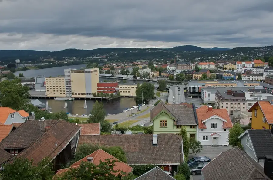
- Located near the town of Rjukan in Telemark county
- Attracts approximately 30,000 visitors to the summit annually
Explore nearby
Notable places around
Route planner — Car & Motorhome
Where do you start? We build the route here, with stops and country notes along the way.
© OpenStreetMap contributors · OpenRouteService
Sights in the town Gaustatoppen (6)
Sights nearby
Frequently asked questions
What is special about Gaustatoppen?
How can you reach the summit without hiking?
How long does the ascent on foot take?
Is there food available at the summit?
Is the mountain suitable for skiers?
Gaustatoppen: where is it located?
Gaustatoppen: what is there to see?
Gaustatoppen: when is the best time to visit?
Gaustatoppen: why is it worth visiting?

Nearby cities