Plizio Visual Lab
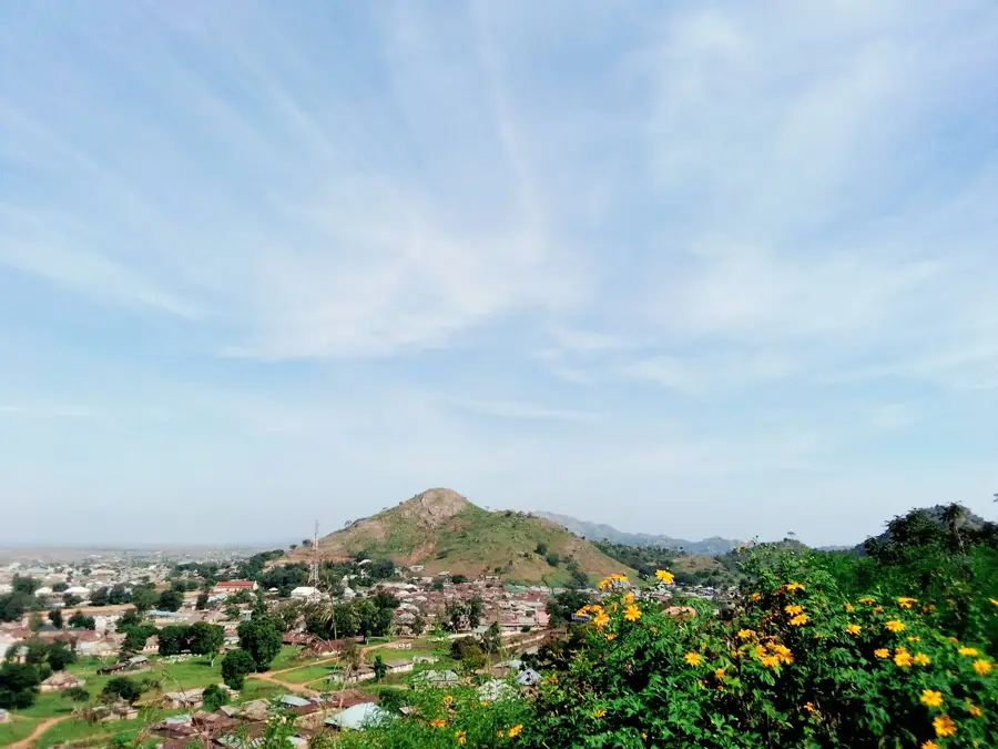
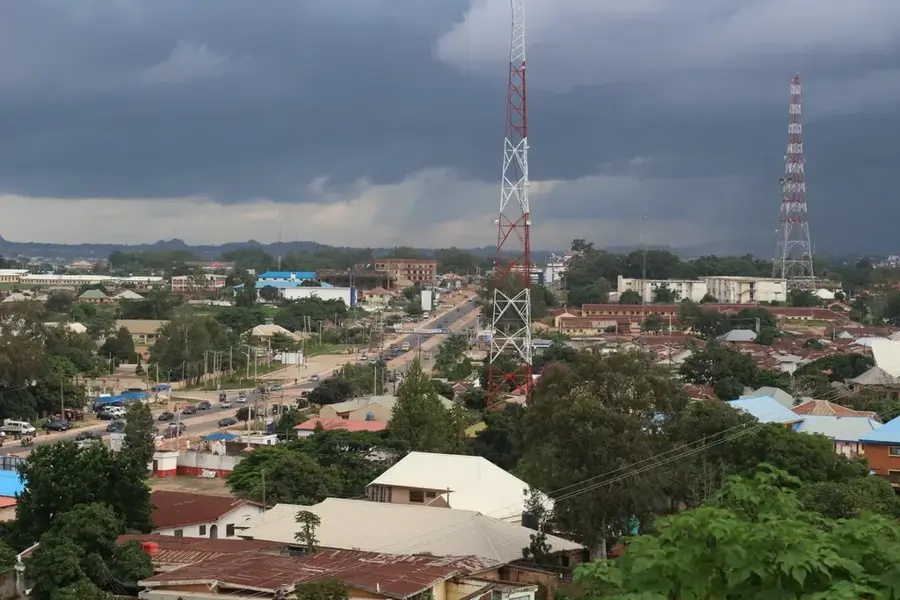
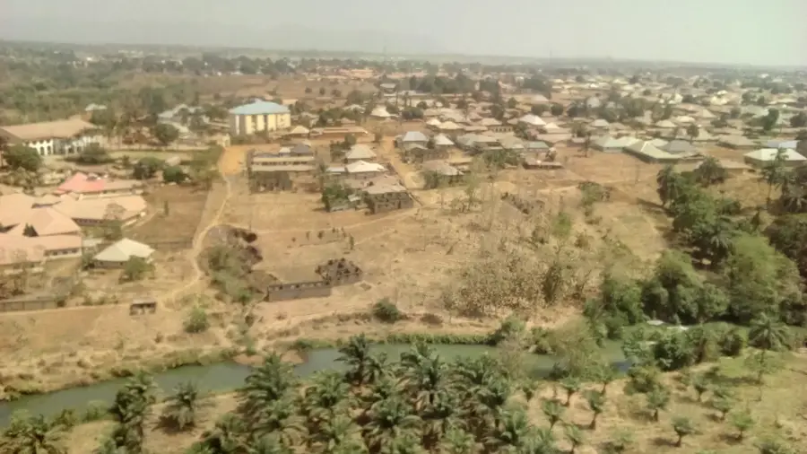
Jos Plateau
Weather…
Water temperature…
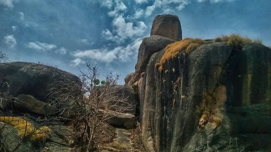
The Jos Plateau is a prominent highland region in central Nigeria, reaching an average elevation of 1,280 meters. It consists predominantly of granite and is of volcanic origin, with extinct volcanic cones dotting the landscape. The plateau enjoys a significantly cooler and more temperate climate than the rest of the country, which historically made it a popular retreat during the colonial era. Economically, the region gained global significance through its rich tin deposits, the mining of which in the 20th century permanently altered the landscape with numerous artificial lakes and mine tailings. Geographically, the plateau acts as a watershed, with rivers flowing from it towards the Niger, the Benue, and Lake Chad. Its flora includes both savanna elements and montane forests, hosting a unique range of biodiversity. Today, Jos, the region's capital, is a major educational and commercial hub, while the plateau remains highly important for tourism and specialized agriculture.
- Location: Nigeria
- Nearby: Jos (49 km)
Best time to visit & climate
The most pleasant time to visit is Jan, Nov, Dec.
| Jan | Feb | Mar | Apr | May | Jun | Jul | Aug | Sep | Oct | Nov | Dec | |
|---|---|---|---|---|---|---|---|---|---|---|---|---|
| Avg °C | 23 | 25 | 27 | 26 | 25 | 23 | 22 | 21 | 22 | 22 | 23 | 22 |
| Rain mm | 1 | 1 | 10 | 78 | 116 | 119 | 164 | 225 | 145 | 74 | 5 | 0 |
📋 Practical info
Geography
Facts
- Average elevation of 1,280 meters
- Highest point is Shere Hills at 1,829 m
- Africa's primary tin mining area during the 20th century
- Covers an area of approximately 8,600 km²
- Only region in Nigeria with a temperate climate
- Source of the Kaduna, Gongola, and Hadejia rivers
Explore nearby
Notable places around
Route planner — Car & Motorhome
Where do you start? We build the route here, with stops and country notes along the way.
© OpenStreetMap contributors · OpenRouteService
Sights nearby
Frequently asked questions
How is the climate on Jos plateau?
Can one hike there?
When is the best time?
Is it family friendly?
What is there to see?
Jos Plateau: where is it located?
Jos Plateau: when is the best time to visit?
Jos Plateau: why is it worth visiting?

Nearby cities
More places