Plizio Visual Lab
Lafia
ℹ️Practical info — Lafia
▾
🌤 Weather — 5 days
📍 Nearby
Sights nearby
💡 Tips
- Lafia is a major agricultural hub; visit the markets early in the morning for the freshest produce, especially yams.
- If planning to travel to the striking Farin Ruwa Falls nearby, arrange for a sturdy 4x4 vehicle as the roads are rough.
- The railway station connects Lafia to other regions; check schedules locally as they can be irregular.
- Motorcycle taxis (Okada) are a fast way to get around, but always agree on the fare and hold on tight.
🍽 Food
A popular staple in Nasarawa state, available in almost every local restaurant.
Buy directly from farmers' roadside stalls during the season.
Served grilled or in stews at traditional eateries in town.
🛍 Shopping · 🧘 Quiet spots
The bustling center for yams, grains, and everyday local goods.
Handcrafted clay pots and bowls sold by vendors around the main market areas.
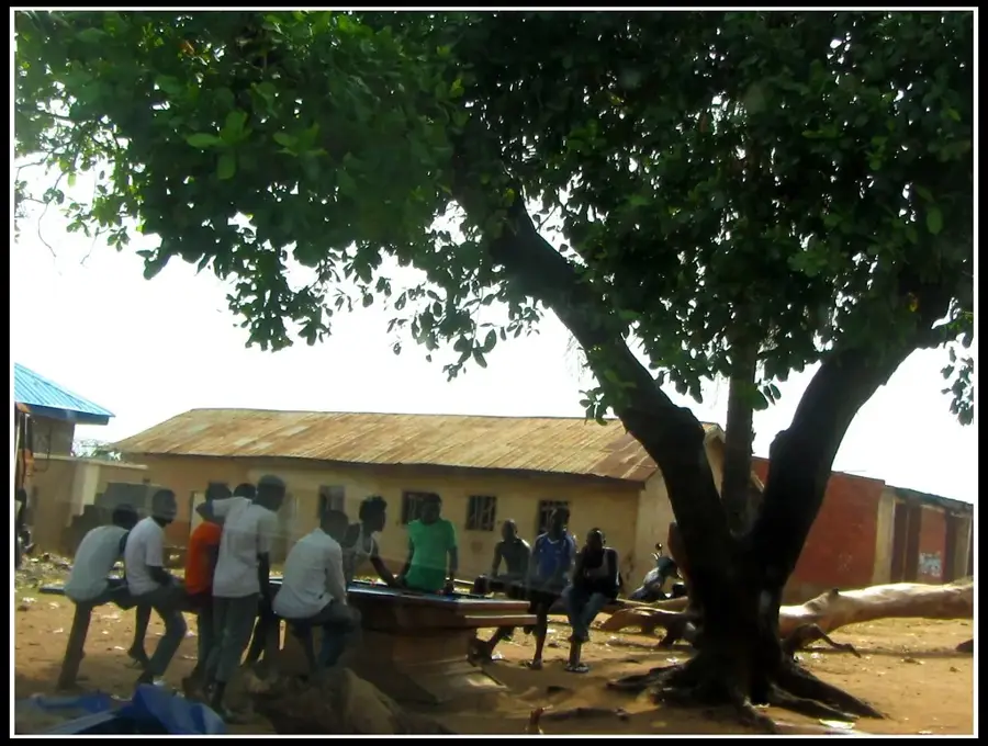
Provides a quieter, green escape from the busy city center.
An open and calm space when no football matches or events are taking place.
Water temperature…
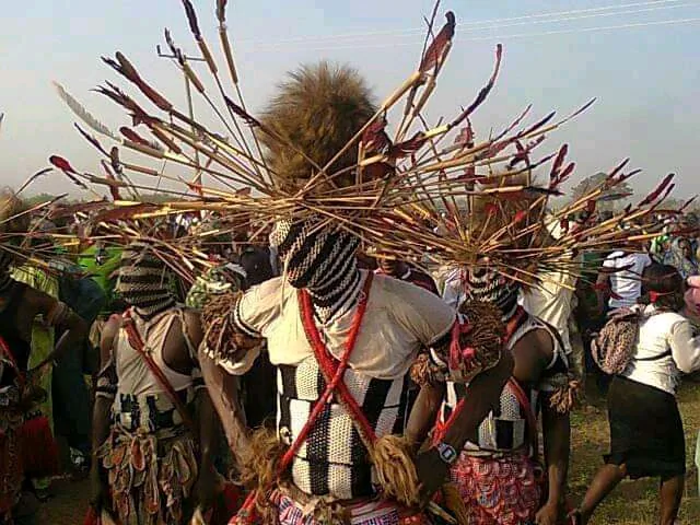
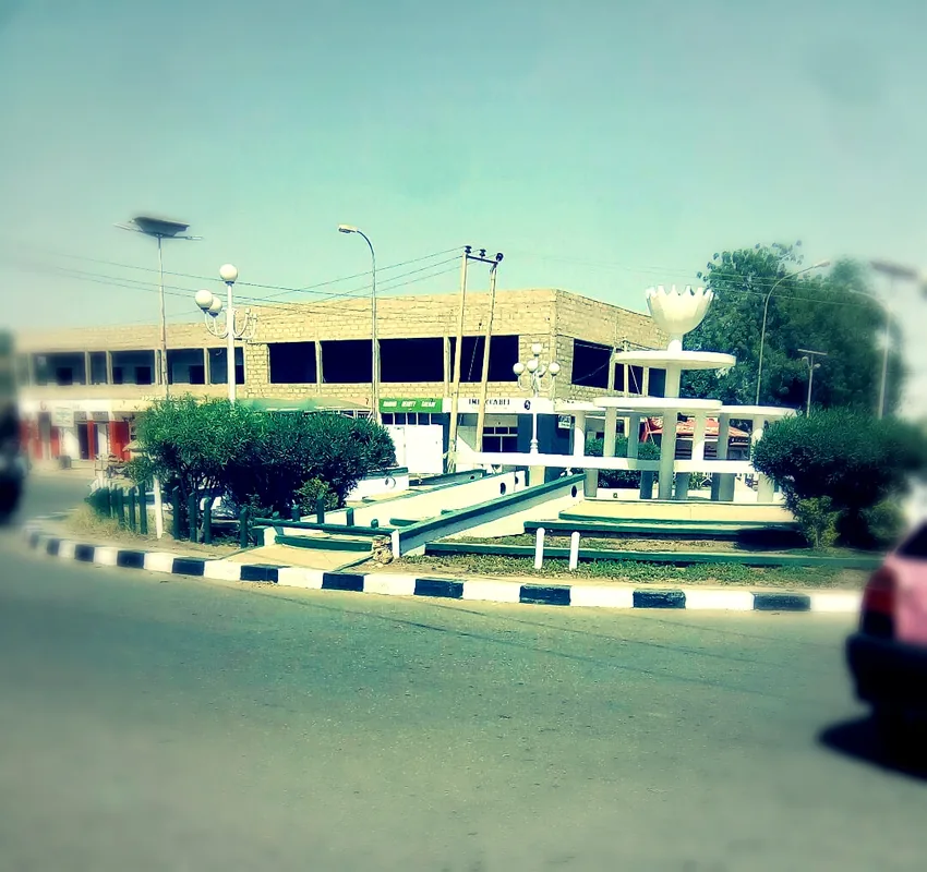
Lafia serves as the administrative capital of Nasarawa State in central Nigeria, functioning as a pivotal urban center within the country's middle belt. The city's history is deeply intertwined with the establishment of the Lafia Emirate in the late 18th century by the Beri-Beri people, led by Muhammad Dunama, who migrated from the Bornu region. This historical legacy is still visible today in the city's social hierarchy and the architectural significance of the Emir's Palace, which remains a focal point for cultural ceremonies. Geographically, Lafia is situated within the Benue Trough at an elevation of roughly 290 meters, characterized by fertile plains that support an extensive agricultural sector. Often referred to as a breadbasket for the region, the city is a major collection point for yams, cassava, and sorghum, which are traded extensively at the Shabu and Monday markets. Beyond agriculture, the area is rich in mineral resources such as coal and baryte, which provide a foundation for emerging industrial activities. The city underwent a significant transformation in 1996 when it was designated the capital of the newly created Nasarawa State, leading to rapid infrastructural expansion and the development of the Alausa-style government secretariats. The academic landscape was significantly bolstered in 2010 with the founding of the Federal University Lafia, fostering a bustling student community and stimulating the local service economy. Transport connectivity is a key strength, as Lafia lies on the Eastern Railway line connecting Port Harcourt to Kaduna and is linked by major highways to the federal capital, Abuja, and the commercial city of Makurdi. The demographic makeup is a diverse blend of ethnic groups including the Gwandara, Alago, and Eggon, contributing to a rich tapestry of linguistic and cultural traditions that coexist peacefully in this expanding metropolitan area.
- Location: Nigeria
- Population: ~127.236 (2026)
Best time to visit & climate
The most pleasant time to visit is Jan, Nov, Dec.
| Jan | Feb | Mar | Apr | May | Jun | Jul | Aug | Sep | Oct | Nov | Dec | |
|---|---|---|---|---|---|---|---|---|---|---|---|---|
| Avg °C | 27 | 29 | 30 | 29 | 28 | 27 | 26 | 25 | 26 | 26 | 27 | 26 |
| Rain mm | 1 | 6 | 15 | 83 | 120 | 128 | 152 | 203 | 169 | 109 | 8 | 0 |
Geography
Facts
- Lafia was designated the capital of Nasarawa State following its creation from Plateau State in 1996.
- The city's origins date back to the 18th century as a settlement for the Beri-Beri migrants from Bornu.
- It is situated at an elevation of 290 meters above sea level within the geographically significant Benue Trough.
- The Federal University Lafia was established in 2010, significantly increasing the city's youth population.
- Lafia serves as a major station on the railway line connecting the Bight of Biafra to the northern hinterlands.
- The city is a national hub for the trade of agricultural commodities, particularly yams and sorghum.
- Significant deposits of coal and baryte in the vicinity contribute to the state's industrial potential.
- The Emir of Lafia remains a highly influential traditional ruler and a symbol of the city's historical continuity.
Explore nearby
Notable places around
Route planner — Car & Motorhome
Where do you start? We build the route here, with stops and country notes along the way.
© OpenStreetMap contributors · OpenRouteService
Sights in the town Lafia (1)
Frequently asked questions
What does Lafia offer as a city?
When is the weather most pleasant?
How do you travel to Lafia?
What is the local specialty?
Is Lafia developed for tourism?
Lafia: where is it located?
Lafia: when is the best time to visit?
Lafia: why is it worth visiting?