Plizio Visual Lab
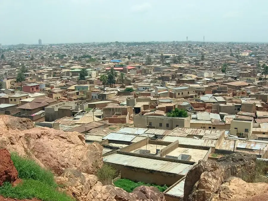
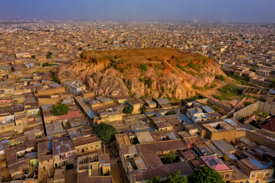
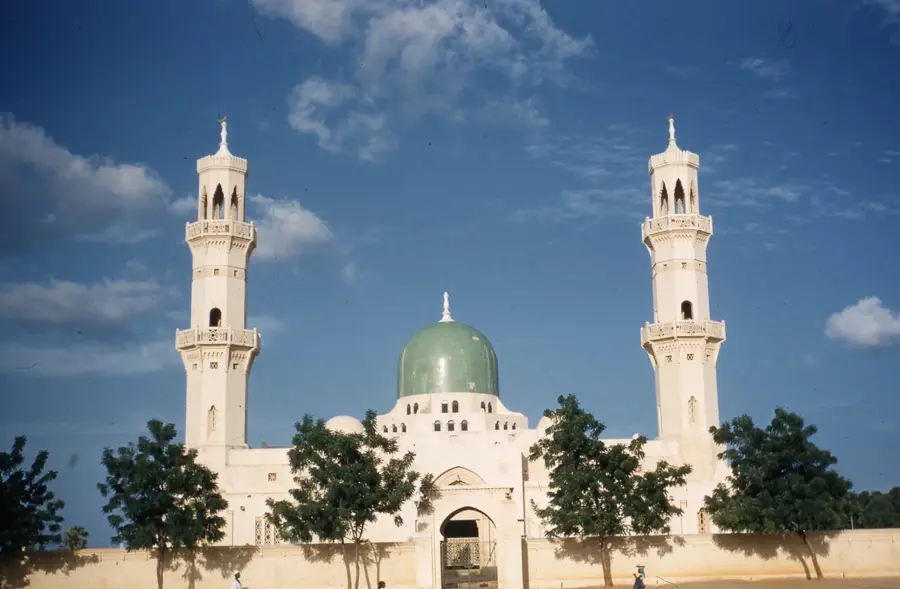
Kano

Weather…
Water temperature…
The Kano River is a vital waterway in northern Nigeria, originating in the southern reaches of Kano State. It flows in a northeasterly direction, eventually joining the Hadejia River to form part of the Yobe River system, which discharges into Lake Chad. The river's economic significance is immense as it underpins the Kano River Project, one of the largest irrigation schemes in the country. A central component of this project is the Tiga Dam, completed in 1974, which impounds water for large-scale agricultural use. Thanks to this irrigation, the region can produce crops like wheat, rice, and vegetables year-round, which is critical for food security in northern Nigeria. The river also provides the primary source of drinking water for the metropolis of Kano and supports local industrial activities. Ecologically, the river feeds into wetlands that provide habitats for various waterfowl. In recent years, however, issues such as sedimentation and pollution from agricultural runoff have begun to impact the river's overall water quality.
- Location: Nigeria
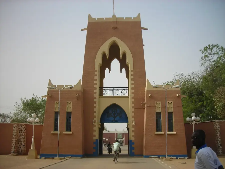
- Top sights: Kano State · Kano State Police Command
Best time to visit & climate
The most pleasant time to visit is Jan, Nov, Dec.
| Jan | Feb | Mar | Apr | May | Jun | Jul | Aug | Sep | Oct | Nov | Dec | |
|---|---|---|---|---|---|---|---|---|---|---|---|---|
| Avg °C | 21 | 24 | 28 | 30 | 30 | 29 | 27 | 26 | 26 | 27 | 24 | 21 |
| Rain mm | 0 | 0 | 16 | 27 | 65 | 83 | 164 | 220 | 119 | 28 | 5 | 0 |
📋 Practical info
Geography
Facts
- The Tiga Dam on the Kano River was completed in 1974.
- The river is a constituent of the Yobe Basin, which empties into Lake Chad.
- It provides irrigation water for the Kano River Project, covering over 20,000 hectares.
- Kano City relies on this river system for most of its municipal water supply.
- The river originates in the highlands south of the city of Kano.
- Increased sedimentation has significantly reduced reservoir capacity over the decades.
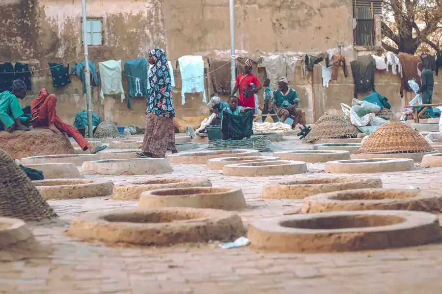
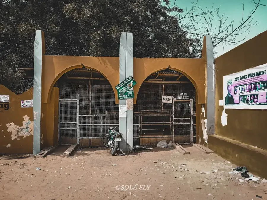
Explore nearby
Notable places around
Route planner — Car & Motorhome
Where do you start? We build the route here, with stops and country notes along the way.
© OpenStreetMap contributors · OpenRouteService
Sights in the town Kano (2)
Sights nearby
Frequently asked questions
Is the Kano River good for fishing?
Can one take boat tours?
What is the condition of the water?
Is camping on the bank allowed?
Is the area safe?
Kano: where is it located?
Kano: what is there to see?
Kano: when is the best time to visit?
Kano: why is it worth visiting?

Nearby cities

History & landmarks

More places