Plizio Visual Lab
Kano Plains

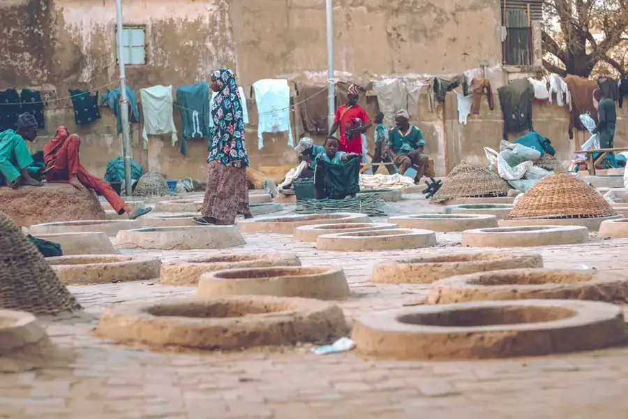
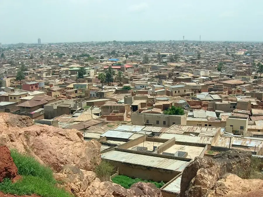
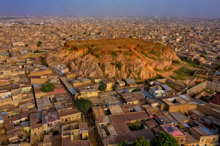
The Kano Plains in northern Nigeria form a vast, gently sloping plateau renowned for its high population density and intensive agricultural activity. Situated at an average elevation of about 480 meters, the region is underlain by crystalline rocks of the African Shield, covered by fertile sandy loam soils. Water resources are managed through significant structures like the Tiga Dam, enabling year-round irrigation for crops such as wheat, tomatoes, and onions. Historically, the plains were the heart of the powerful Kano Emirate and a vital junction for Trans-Saharan trade linking West Africa with the Mediterranean. The climate features a short rainy season followed by a long, intense dry season, making irrigation essential for sustainable farming. Today, the Kano Plains serve as an industrial hub for Nigeria and represent a successful blend of traditional farming techniques and modern agricultural advancements.
- Location: Nigeria
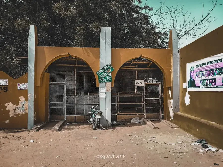
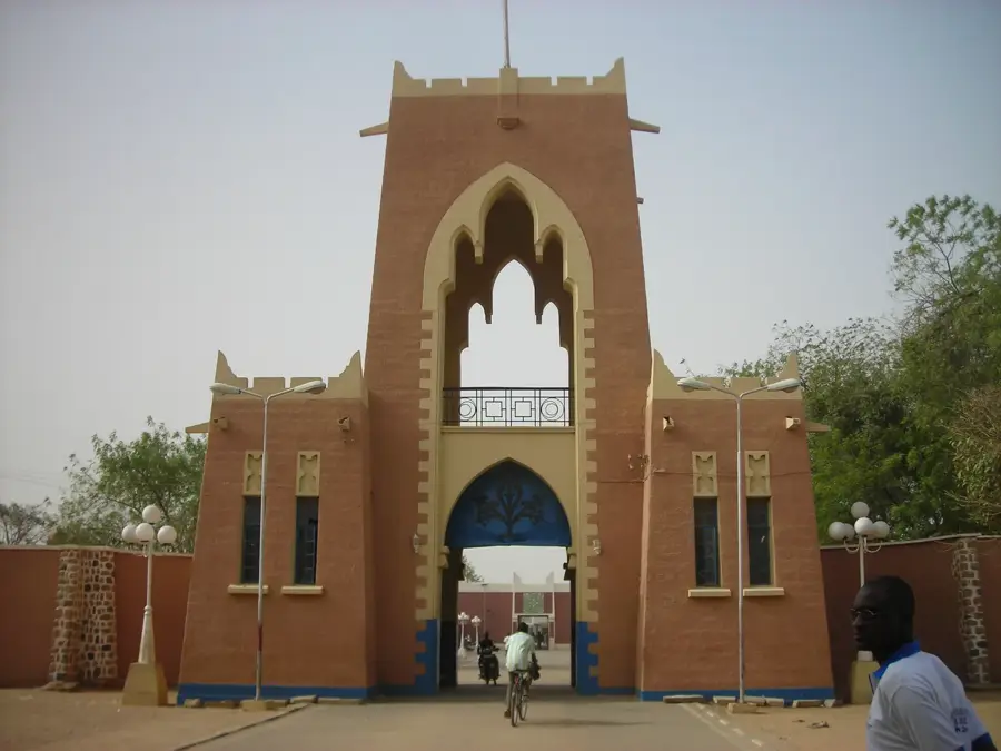
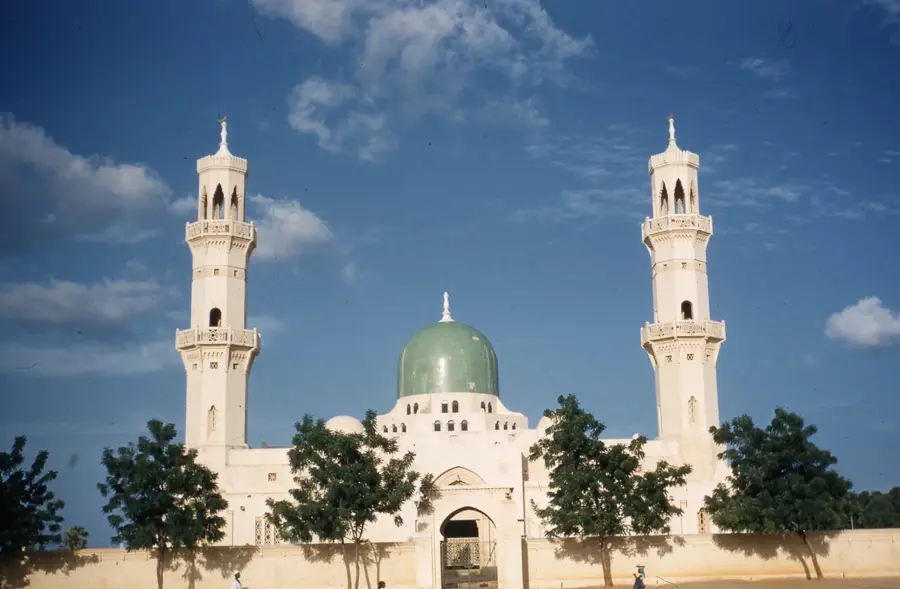
- Top sights: Kofar Famfo · Kofar Gadan Kaya · Kofar Ruwa
Best time to visit & climate
The most pleasant time to visit is Jan, Feb, Dec.
| Jan | Feb | Mar | Apr | May | Jun | Jul | Aug | Sep | Oct | Nov | Dec | |
|---|---|---|---|---|---|---|---|---|---|---|---|---|
| Avg °C | 21 | 24 | 28 | 31 | 31 | 30 | 28 | 26 | 27 | 27 | 24 | 21 |
| Rain mm | 0 | 0 | 8 | 18 | 48 | 71 | 144 | 204 | 105 | 23 | 8 | 0 |
📋 Practical info
Geography
Facts
- The average elevation of the plains is approximately 480 meters.
- Geologically dominated by Precambrian crystalline basement rocks.
- The Tiga Dam provides the essential water supply for local irrigation.
- Historical heartland of the Kano Emirate and Trans-Saharan trade routes.
- High population density due to the fertility of its sandy loam soils.
- A major center for groundnut, wheat, and vegetable production.
Explore nearby
Notable places around
Route planner — Car & Motorhome
Where do you start? We build the route here, with stops and country notes along the way.
© OpenStreetMap contributors · OpenRouteService
Sights in the town Kano Plains (5)
Sights nearby
Frequently asked questions
What makes the Kano Plain special?
Is photography allowed?
Are there any security risks?
How do I get there?
Are there guided tours?
Kano Plains: where is it located?
Kano Plains: what is there to see?
Kano Plains: when is the best time to visit?
Kano Plains: why is it worth visiting?

Nearby cities

History & landmarks

Nature

More places