Plizio Visual Lab
Tillia
ℹ️Practical info — Tillia
▾
🌤 Weather — 5 days
📍 Nearby
Sights nearby
💡 Tips
- The water sources (wells) of Tillia are vital; behave quietly there and do not waste any water.
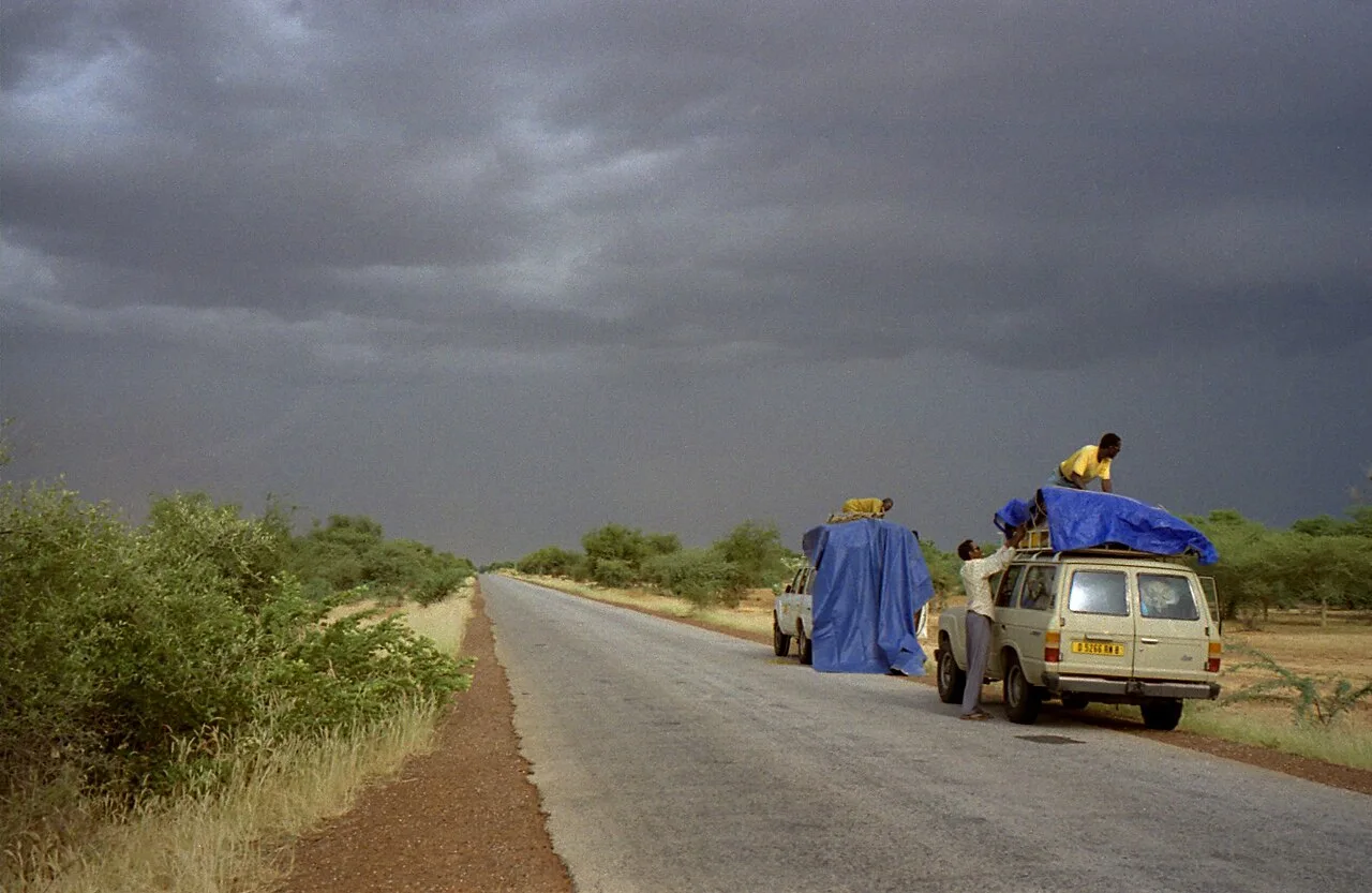
- Since the region is very remote, you should have satellite communication or local guides.
- Desert nights can be surprisingly cool; bring warm clothing for the evening hours.
- When meeting locals, always offer a formal greeting before starting any conversation.
🍽 Food
A nutritious main dish, often served with a spicy sauce made from dried leaves.
Usually served in large communal bowls; eat traditionally using your right hand.
Strong, sweet green tea prepared in a ritual ceremony.
🛍 Shopping · 🧘 Quiet spots
Coarse cotton fabrics woven in the settlement for traditional clothing.
Traditionally tanned goat skins (guerba) that keep water cool through evaporation.
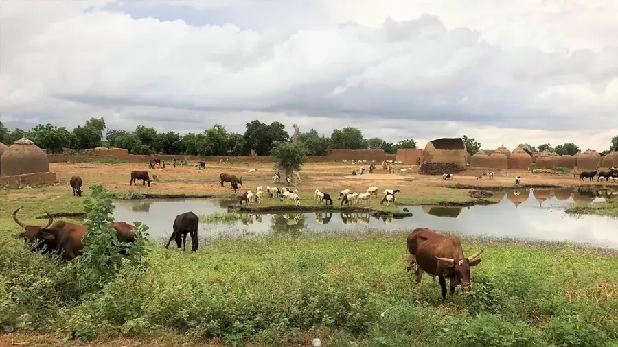
A place of deep history; sit nearby at a distance to watch nomads watering their herds.
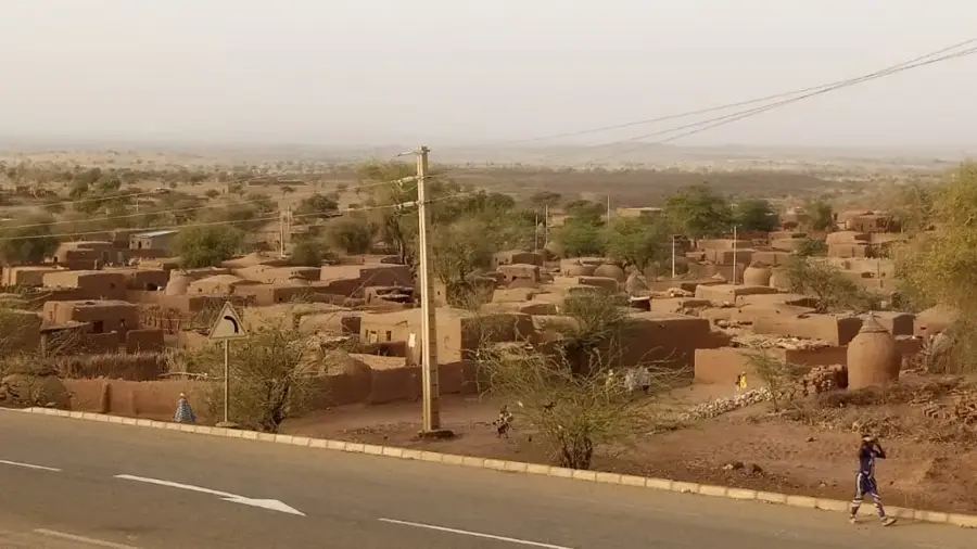
The narrow alleys between the mud-brick houses offer protection from wind and sun.
Water temperature…
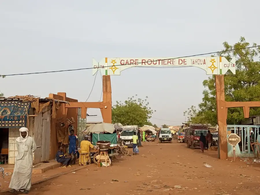
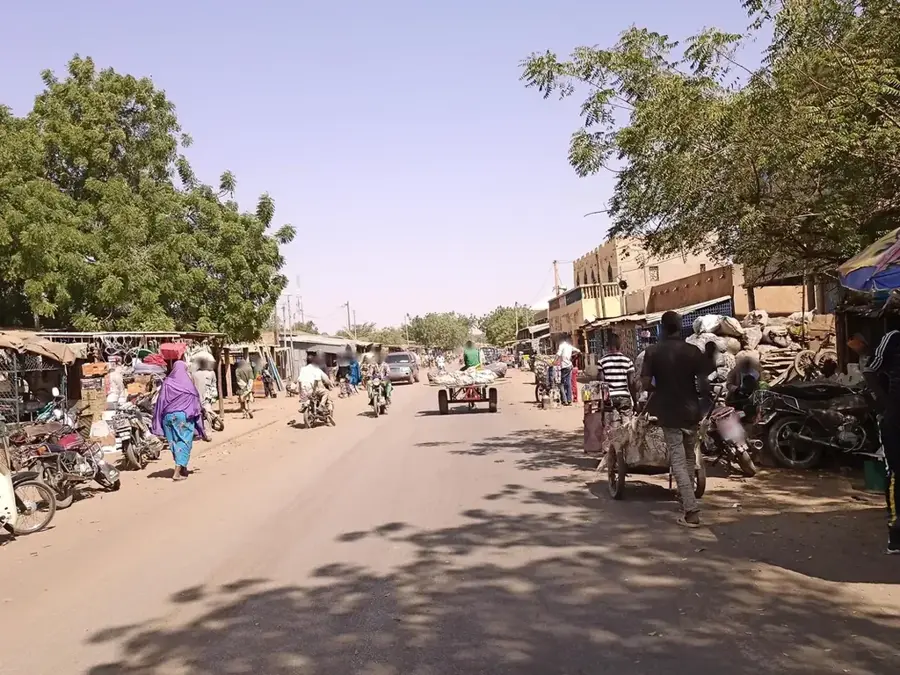
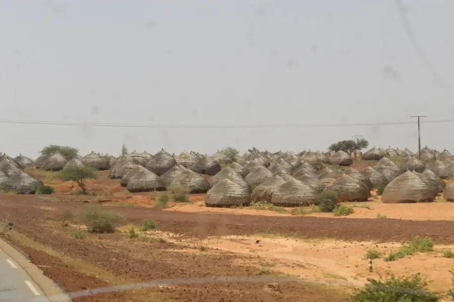
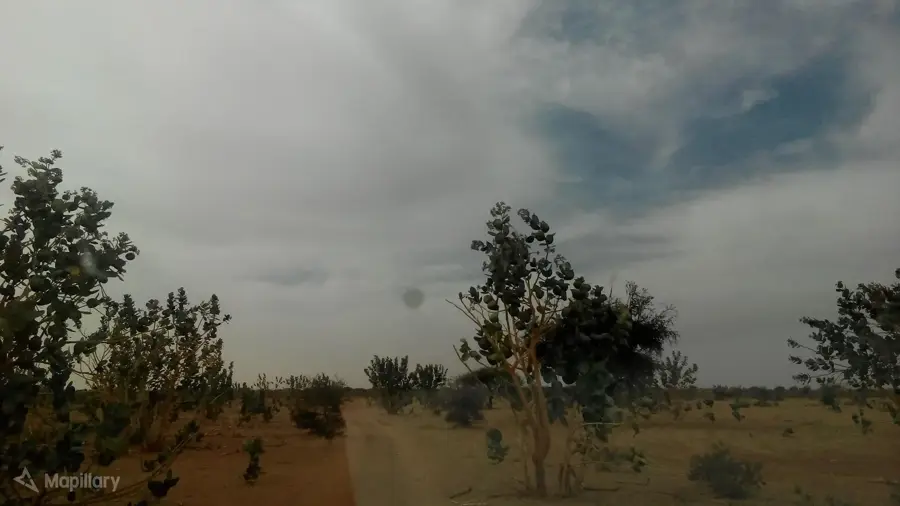
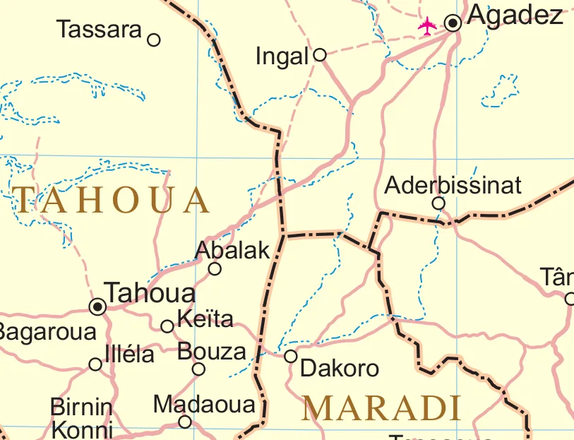
Tillia is a rural commune and the administrative seat of the Tillia Department in the Tahoua Region of northwestern Niger. The town is situated in an extremely remote area characterized by the harsh environmental conditions of the Saharan fringes. Geographically, Tillia is dominated by sandy plains and sparse vegetation, making it a classic location for nomadic pastoralism. Historically, Tillia served as a strategic outpost for monitoring border territories and as a sanctuary for migratory tribes during severe drought periods. The local population consists primarily of Tuareg and nomadic Arabs, whose livelihoods are deeply intertwined with the available water points. In recent decades, the commune has gained importance as an administrative center for the vast northern grazing lands. Despite the difficult security situation in the border region with Mali, Tillia remains a vital hub for social cohesion and exchange among desert-dwelling peoples.
- Location: Niger
- Nearby: Tassara (26 km)
- Population: ~4.598 (2024)
Best time to visit & climate
The most pleasant time to visit is Jan, Feb, Dec.
| Jan | Feb | Mar | Apr | May | Jun | Jul | Aug | Sep | Oct | Nov | Dec | |
|---|---|---|---|---|---|---|---|---|---|---|---|---|
| Avg °C | 21 | 25 | 29 | 33 | 35 | 35 | 32 | 29 | 30 | 30 | 26 | 22 |
| Rain mm | 0 | 0 | 0 | 1 | 4 | 31 | 87 | 141 | 39 | 6 | 0 | 0 |
Geography
Facts
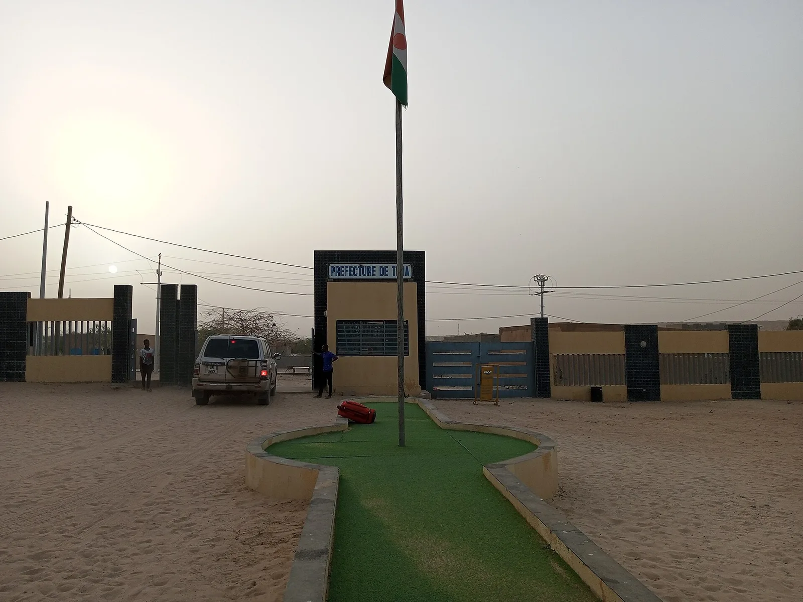
- Tillia was established as a departmental capital during the 2011 administrative reform.
- The town is located about 200 kilometers north of Tahoua, near the border with Mali.
- The commune is a key center for livestock vaccination campaigns in the northern region.
- Tillia experiences a desert climate with extreme temperature shifts between day and night.
- Solar-powered boreholes provide essential water security for the nomadic population.
- The region is known for hosting traditional camel races among the local Tuareg youth.
Route planner — Car & Motorhome
Where do you start? We build the route here, with stops and country notes along the way.
© OpenStreetMap contributors · OpenRouteService
Frequently asked questions
What is Tillia?
Is it safe to travel to Tillia?
Can one go hiking there as a tourist?
Is special equipment needed for Tillia?
Are there accommodations in Tillia?
Tillia: where is it located?
Tillia: when is the best time to visit?
Tillia: why is it worth visiting?

Nearby cities

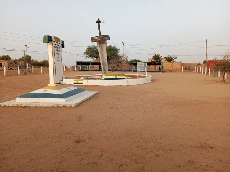
History & landmarks

More places